-
Kronobergs län -
-
-
-

-


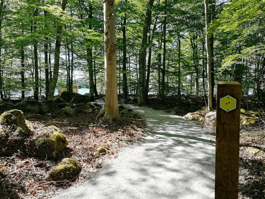
Västra torpaslingan (Sunnabron-Bjurkärr), Åsnens nationalpark
Wandern
- Landkreis: Kronobergs län
- 6816.33 km von Ihnen entfernt
Details zum Weg
- Länge 1.0 km
- Schwierigkeit Grün - einfach
Aktionen
Beschreibung
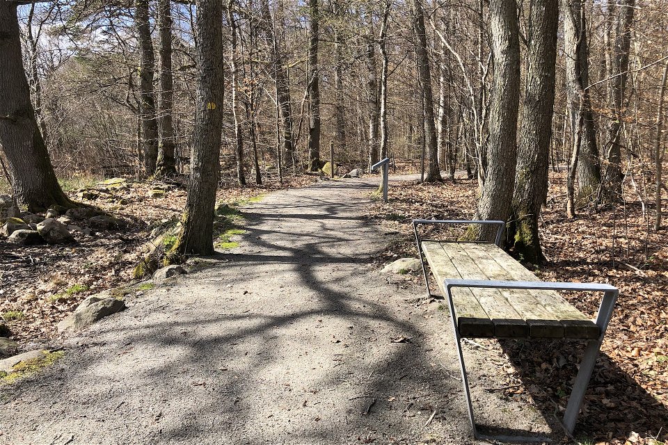
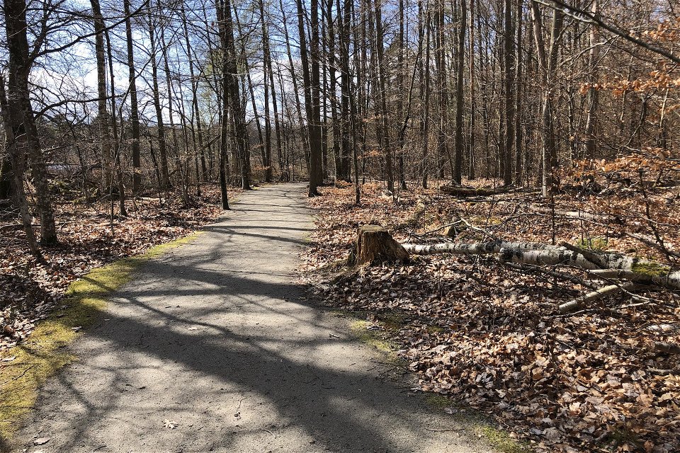
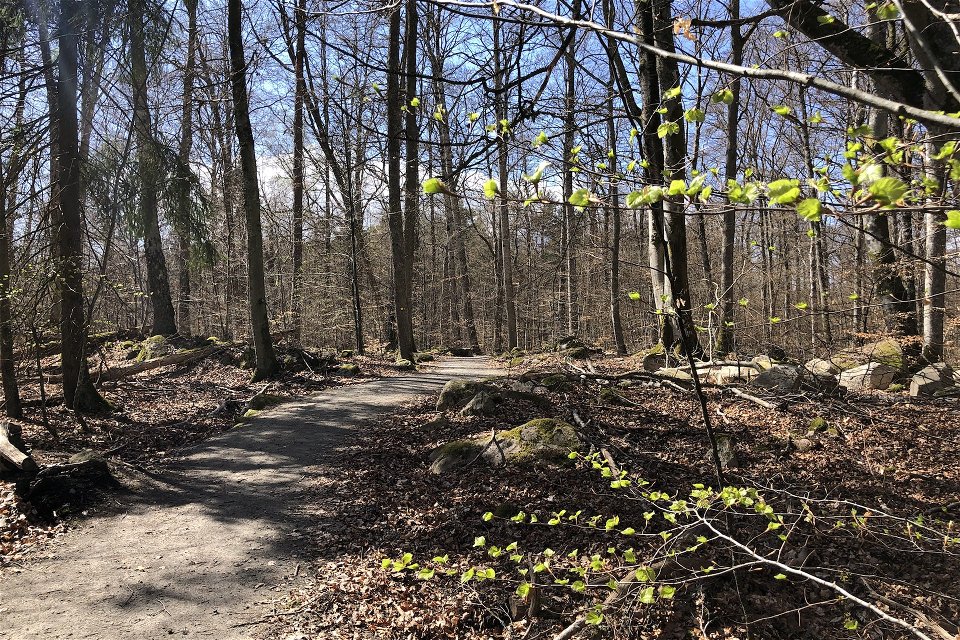
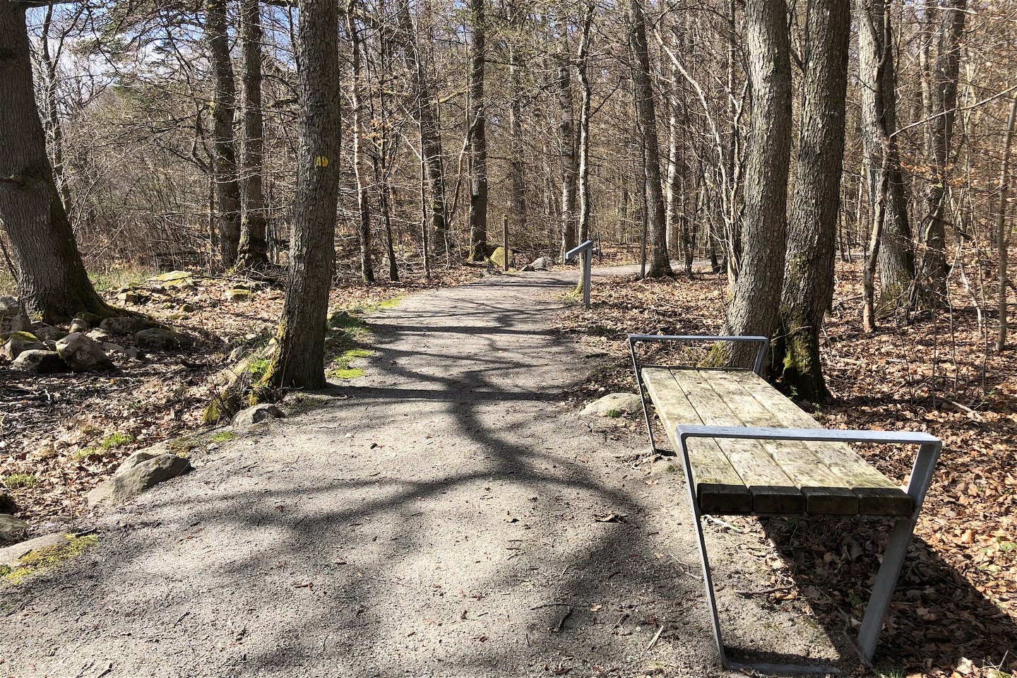
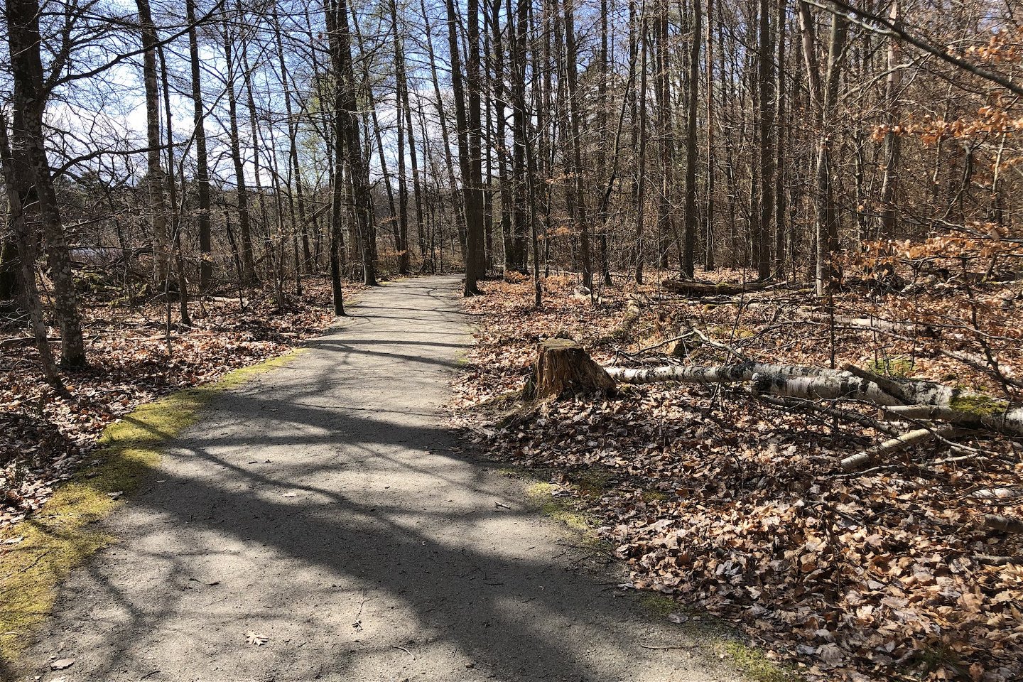
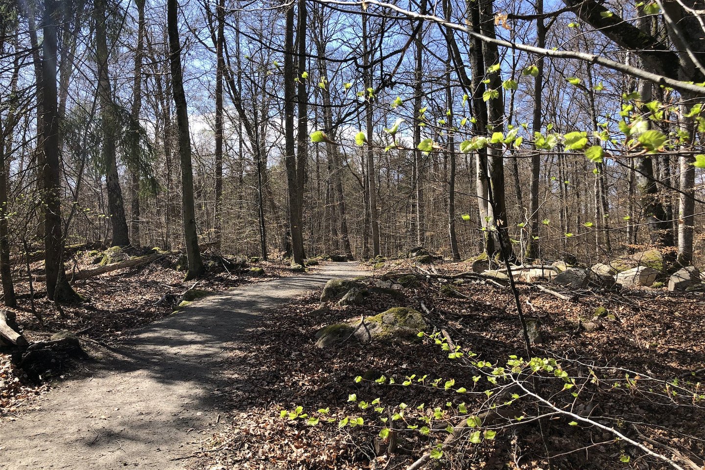
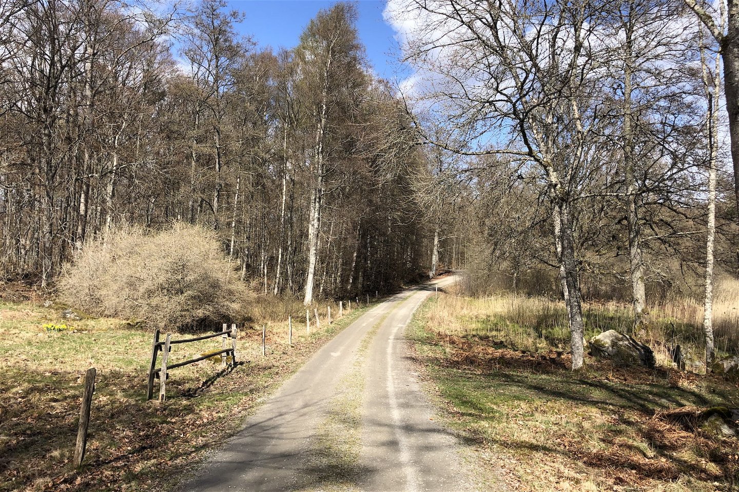
This 800-metre long yellow-marked trail begins at Sunnanbron and ends at the nature reserve parking at Bjurkärr. The entire yellow trail is accessible for wheelchairs and prams, and there are accessible lavatories at Sunnabron and Bjurkärr. On the way, you can find the beautiful saffron-coloured chicken of the woods fungus while you listen for the wood warbler and the call of the stock dove. The biotopes are varied, and you will be encountering wetland forest and copse as well as stately oaks and beautiful birches. For additional information regarding the marked trails in the national park, follow the link below.
Aktivitäten und Einrichtungen
-
Wandern
Zugänglichkeit
-
 Nähe eines Parkplatzes
-
 Nähe einer Toilette
-
 Kinderwagen zugänglich
Fakten
Yellow marking with two dots.
Vegetation
Slight slope in places and small stones at the edge of the trail.
Parking
Parking at Sunnabron or Bjurkärr.
Anleitung
Reached from Entré Sunnabron or the parking lot at Bjurkärr.
Kontakt
E-Mail-Adresse
Bitte beachten Sie, dass einige dieser Texte automatisch übersetzt worden sind.
Fragen & Antworten
Stellen Sie eine Frage an andere Naturkartan-Nutzer.
