-
Kronobergs län -
-
-
-

-


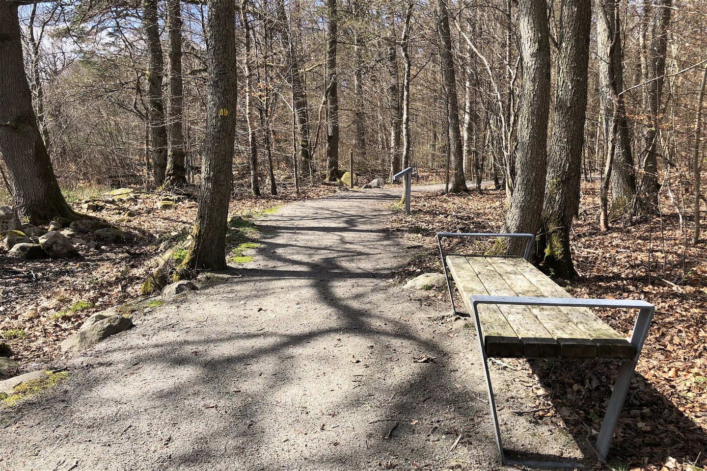
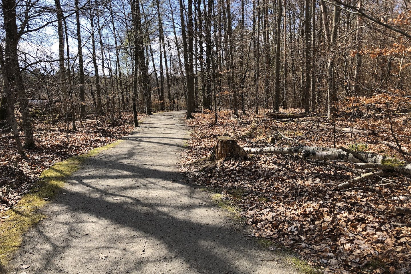
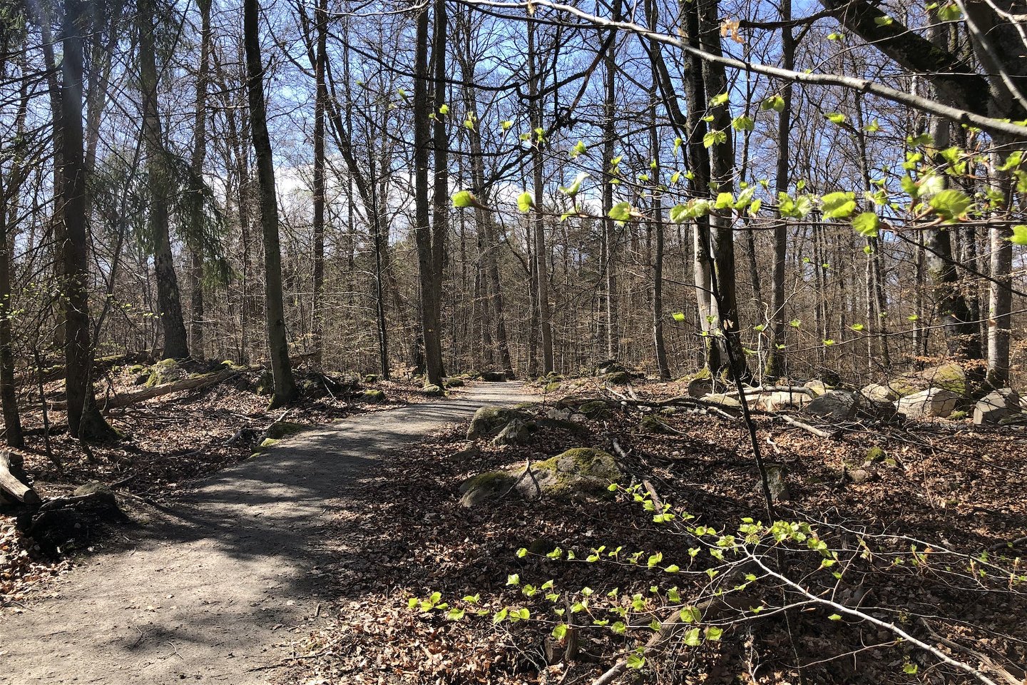
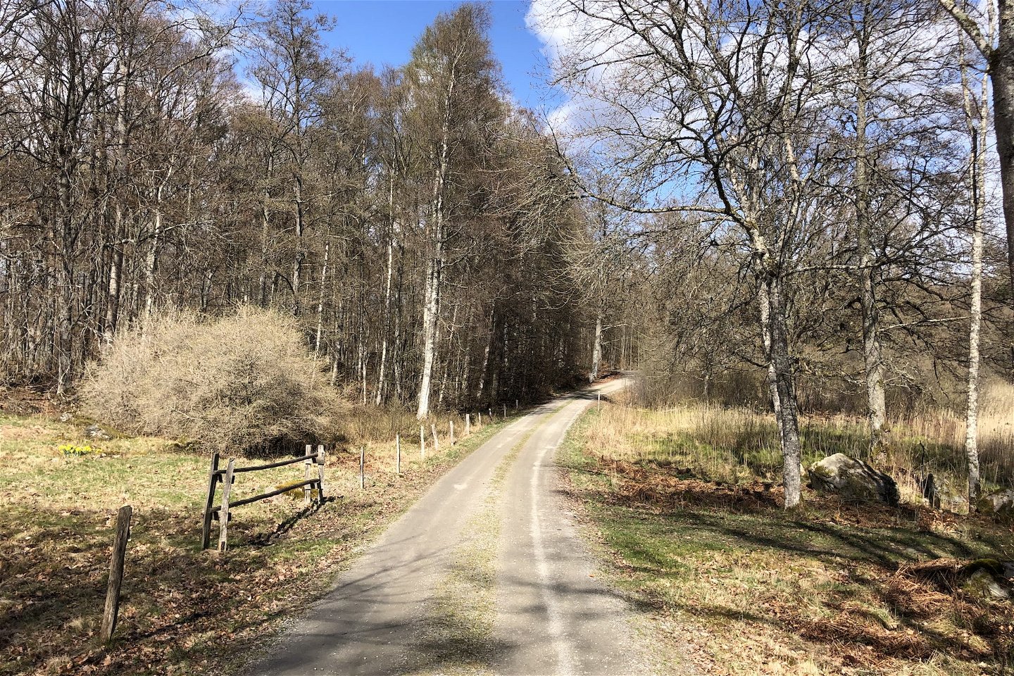

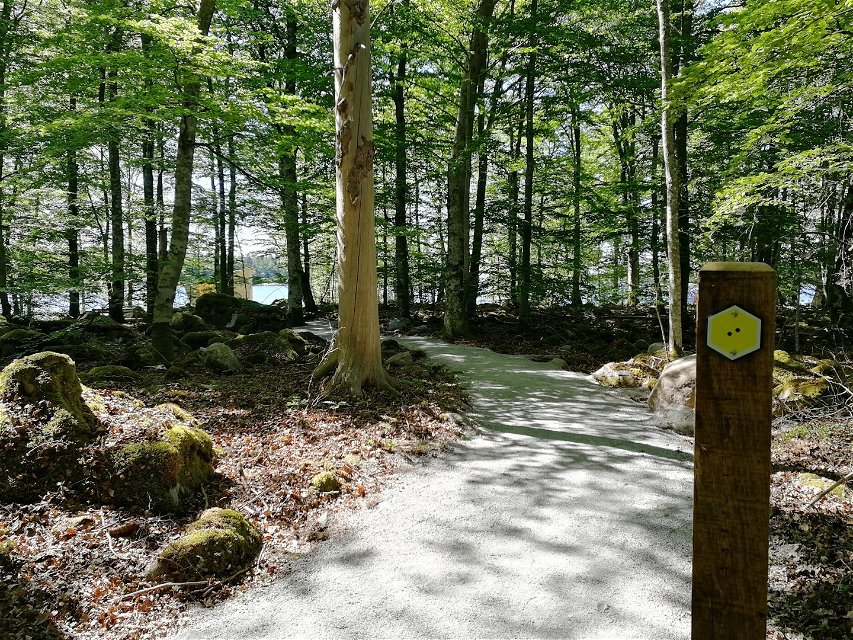
Västra torpaslingan (Sunnabron-Bjurkärr), Åsnens nationalpark
Wędrówki piesze
- Województwo: Kronobergs län
- 6816.33 km od Ciebie
Szczegóły dotyczące szlaku
- Długość 1.0 km
- Trudność Zielony - prosty
Akcje
Opis
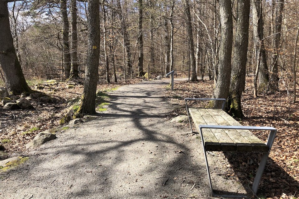
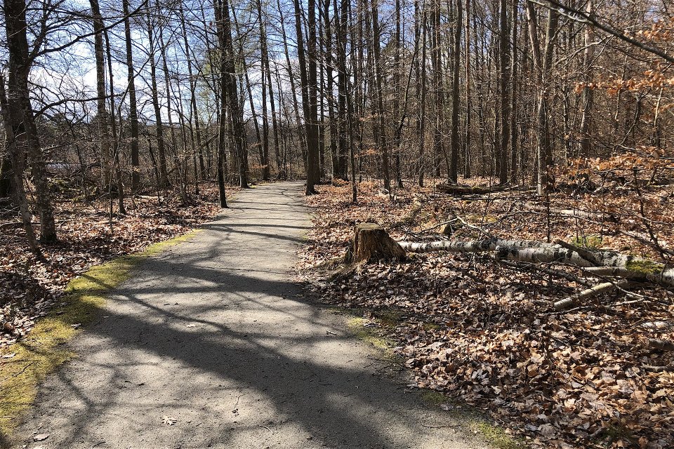
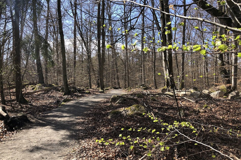
This 800-metre long yellow-marked trail begins at Sunnanbron and ends at the nature reserve parking at Bjurkärr. The entire yellow trail is accessible for wheelchairs and prams, and there are accessible lavatories at Sunnabron and Bjurkärr. On the way, you can find the beautiful saffron-coloured chicken of the woods fungus while you listen for the wood warbler and the call of the stock dove. The biotopes are varied, and you will be encountering wetland forest and copse as well as stately oaks and beautiful birches. For additional information regarding the marked trails in the national park, follow the link below.
Działania i udogodnienia
-
Wędrówki piesze
Dostępność
-
 Blisko parkingu
-
 Blisko toalet
-
 Dostęp dla wózków dziecięcych
Fakty
Yellow marking with two dots.
Roślinność
Slight slope in places and small stones at the edge of the trail.
Parking
Parking at Sunnabron or Bjurkärr.
Wskazówki dojazdu
Reached from Entré Sunnabron or the parking lot at Bjurkärr.
Kontakt
Adres e-mail
Należy pamiętać, że niektóre z tych tekstów zostały przetłumaczone automatycznie.
Pytania i Odpowiedzi
Zadaj pytanie innym użytkownikom Naturkartan.
