

Upplandsleden, etapp 14, Lövstabruk–Västland (Vikingaleden, etapp 10)
Wandern
- Landkreis: Uppsala län
- 6751.64 km von Ihnen entfernt
Details zum Weg
- Länge 19.5 km
Aktionen
Beschreibung
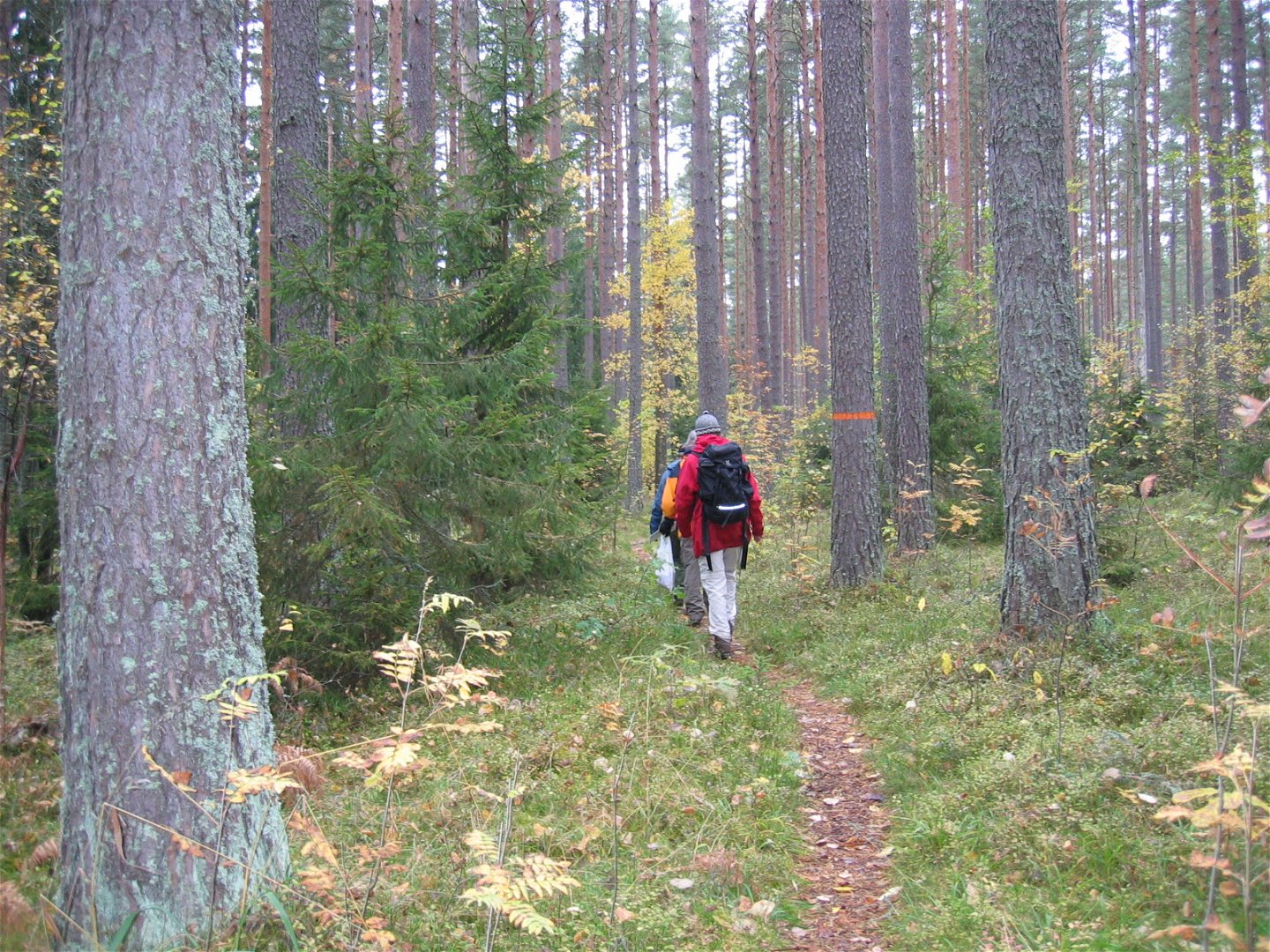
From the manor in the idyllic Lövstabruk, this section goes westward, ending by Västland Church. Once you’ve walked a short distance, you’ll come across some old wells, cellars and fruit trees – the remains of the village of Knuters. Along forest paths and across bogs, you’ll reach Ӧverlövsta on the other side of River Strömarån, where logs used to be driven. Then, the trail follows a gravel road across fields and through forests for 2.5 kilometres before you reach rest spot Svenbo (with a wind shelter). You’ll continue on a forest path that eventually leads you to the River Tämnarån’s valley by Västland. Towards the end, you’ll pass the Lake Barsjön, a lovely forest lake surrounded by 200-year-old pines.
Once in Västland, you can take a little detour to a rest spot with a wind shelter, just by River Tämnarån.
Difficulty level: Medium, forest paths, a few kilometres on roads.
Aktivitäten und Einrichtungen
-
Wandern
Zugänglichkeit
-
 Nähe von Nahverkehr
Oberfläche
Mostly walking along small forest path.
Kommunikation
There is a bus stop at the start and finish. It is possible to get by bus between Lövstabruk and Västland. The bus stop at the start is called Lövstabruk herrgården. At the end of the stage there is a stop at Västland church.
Anleitung
Lövstabruk is located along road 76, one mile south of Skärplinge. In the northern part of the community there is a parking lot at Barnens bruk.
Västland is located along the road that runs between Tierp and Karlholm. From Tierp, follow the signs for Karlholm Mill. After 15 km you will arrive in Västland. Parking is available at the church.
Kontakt
E-Mail-Adresse
Upplandsstiftelsen
Logotyp der Organisation
![]()
Bitte beachten Sie, dass einige dieser Texte automatisch übersetzt worden sind.
Fragen & Antworten
Stellen Sie eine Frage an andere Naturkartan-Nutzer.
