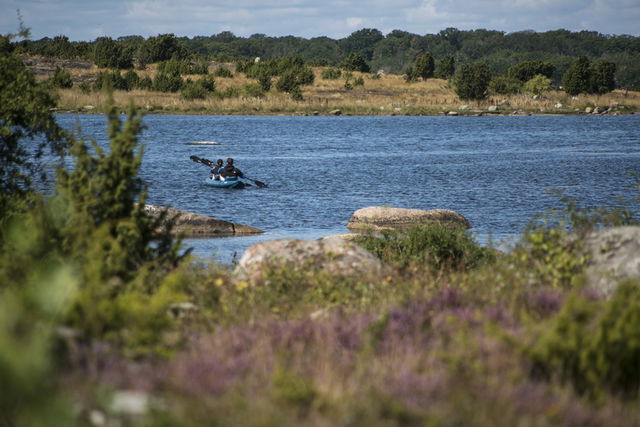
47 nature reserves in the Blekinge Archipelago Biosphere Reserve
You’ll find 47 nature reserves in the Blekinge Archipelago Biosphere Reserve, all of which offer…
Nature reserve
The name Järnavik comes from the medieval word “hjerna” which means “head” or “height” and this is where the mountain steeply plunges into the bay. There are several paths for walks on the western headland. The mountain offers a magnificent view. The nature reserve is a typical coastal area in the centre of Blekinge. It is very hilly with a rugged rocky shoreline, rocky outcrops, broadleaf woodland and open sections used for grazing.
Complete rules for the nature reserve are shown in the link below, but, for example, you are not allowed to let a dog off a lead within the area, pitch a tent or park a caravan or light a fire other than in a place designed for the purpose.
Source: Blekinge County Administrative Board
Skyddsår: 1971
Kommun: Ronneby
Karaktär: Lövskogskust, hällmarker, strandängar, havsvikar
Areal: 151 hektar, varav 94 ha är land och 58 hektar vatten
Markägare: Ronneby kommun
Förvaltare: Länsstyrelsen Blekinge
Skyddsform: Naturreservat och Natura 2000
• Turn off the E22 at junction 55 and follow the signs to Järnavik.
Du är välkommen att besöka Järnavik, men tänk på att det inte är tillåtet att:
Länsstyrelsen Blekinge

Ask a question to other Naturkartan users.