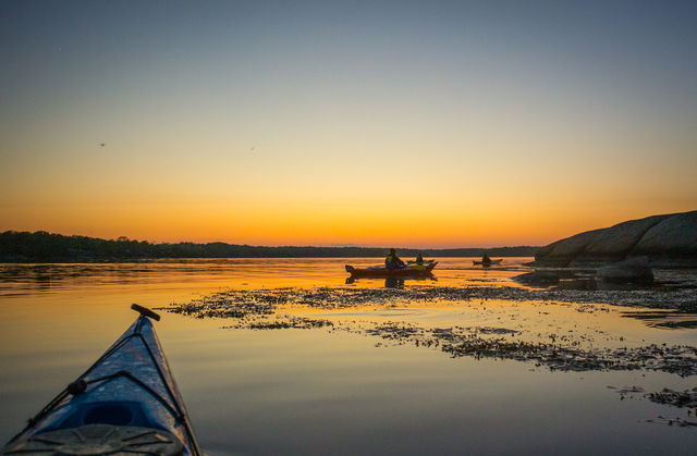
Kayaking ARK56
Paddling through the Blekinge archipelago is one of the best ways to truly experience the…
Paddling
A route round the easternmost part of the Blekinge archipelago and probably the most rock-strewn ;). Here there’s a mix of open water just off Torhamn as you pass the pilot lookout point on Långören. Between Vieskär and Tobisaflöten the water is shallow so you could easily walk from one island to the next. Stenshamn is a nice little fishing village.
Blekinge Arkipelag Kurpromenaden 4 372 36 Ronneby
Team ARK56

Ask a question to other Naturkartan users.