
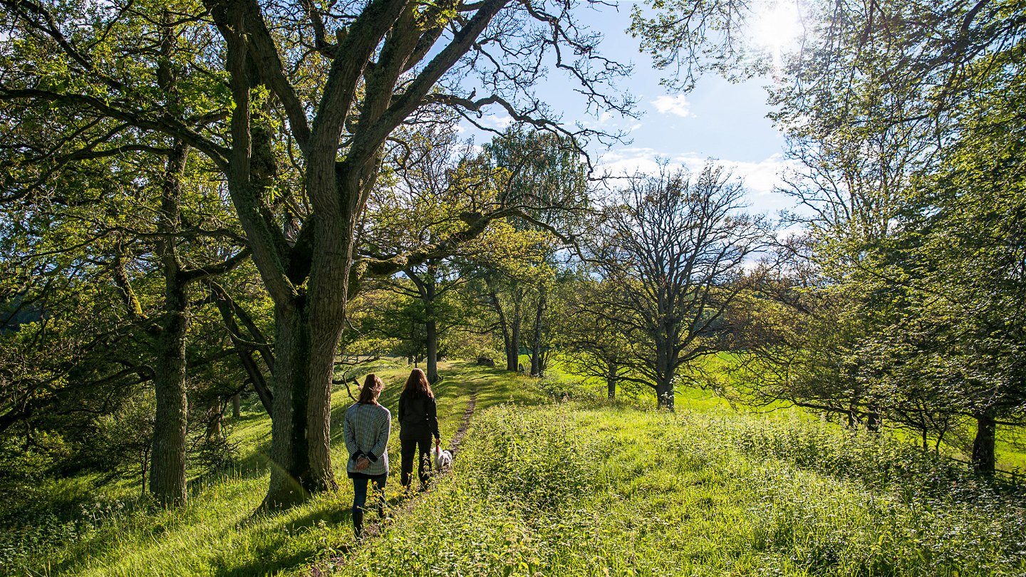
47 nature reserves in the Blekinge Archipelago Biosphere Reserve
You’ll find 47 nature reserves in the Blekinge Archipelago Biosphere Reserve, all of which offer…

Nature reserve
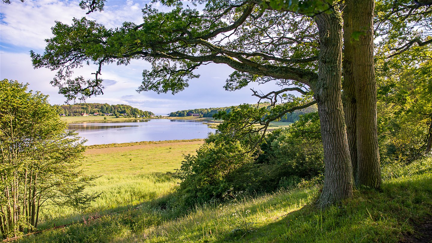
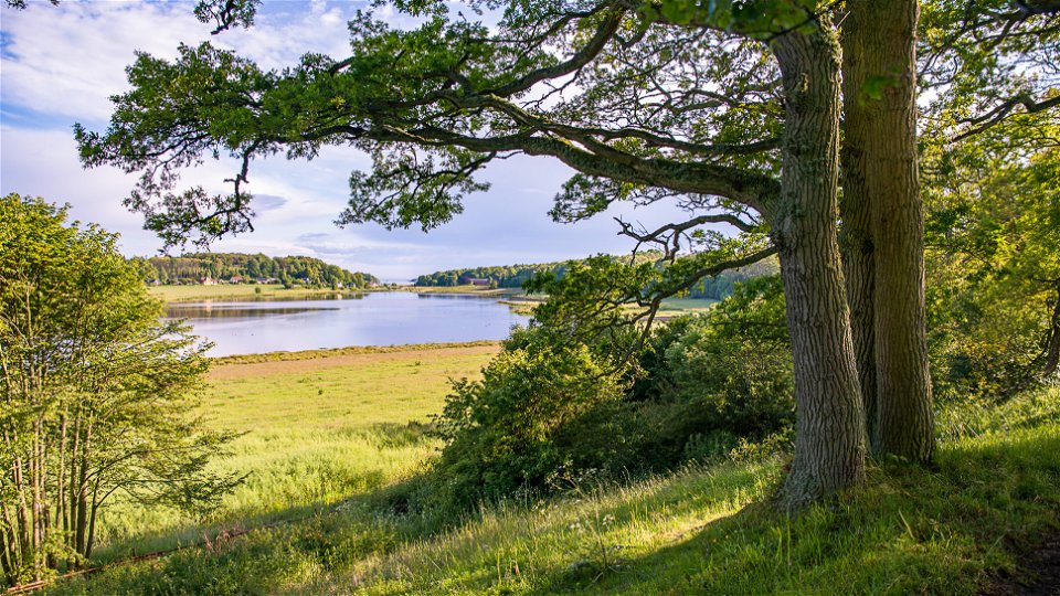
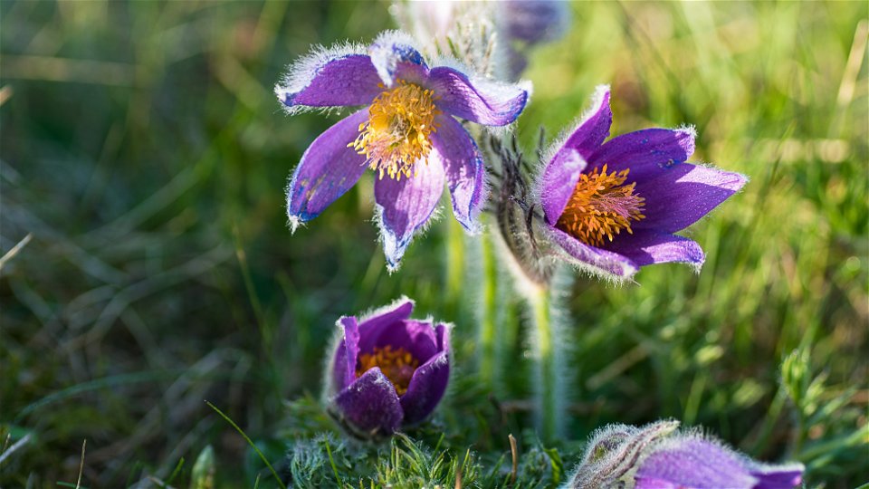
About 14,000 years ago the inland ice started to melt, creating the gravel ridge that rises 10 metres above the surrounding fields to this day.
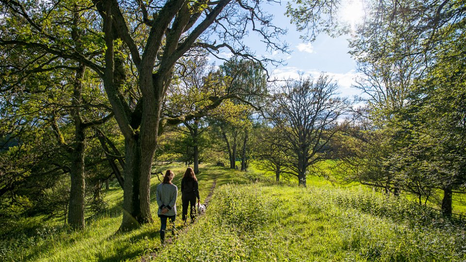
Ancient monuments from the Iron Age are found to the east. In the spring, pasque flowers bloom here on the dry meadows and in the summer you will find common rock-rose, mouse-ear hawkweed, wild thyme and other flowers. From the ridge there are excellent views through the valley and out over wetlands and pasture towards the bay, Järnaviksbukten.
The rules for the nature reserve are shown in the link below, but, for example, you are not allowed to pick flowers between 1 April and 1 July, pitch a tent/park a caravan, light a fire or drive a motor vehicle here.
Source: Blekinge County Administrative Board
Nature reserve
Year of protection: 1982
Municipality: Ronneby
Character: Gravel ridge with dry meadow
Area: 15 hectares
Landowner: Private
Manager: Blekinge County Administrative Board
Form of protection: Nature reserve and Natura 2000
Turn off the E22 at junction 55 towards Bräkne-Hoby and follow the signs to Järnavik. The nature reserve is west of the road just after the turning to Saxemara.
You are welcome to visit Pagelsborg, but please note that it is not allowed to:
Länsstyrelsen Blekinge
![]()
Please be aware that some of these texts have been automatically translated.
Ask a question to other Naturkartan users.
You’ll find 47 nature reserves in the Blekinge Archipelago Biosphere Reserve, all of which offer…
