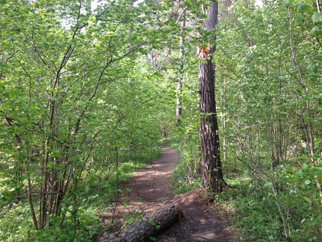
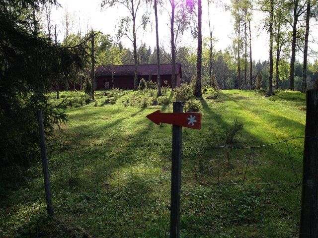
 Pilgrim Trail
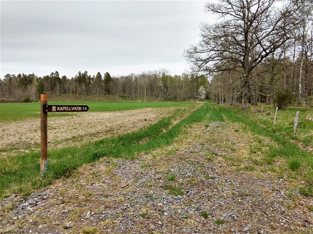
Stava - Ödeshög, Fanciskusleden, St. Birgitta Ways
- Municipality: Ödeshög
- 6726.42 km away from you
- 23.5 km
- Difficulty: Red
 Best hiking trails in Östergötlands län
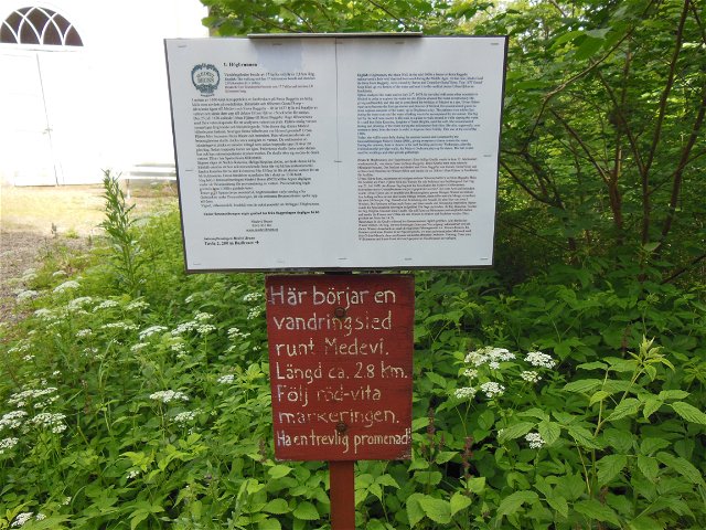
Naturkartan samlar de vandringslederna i Östergötlands län som är populärast bland våra användare.
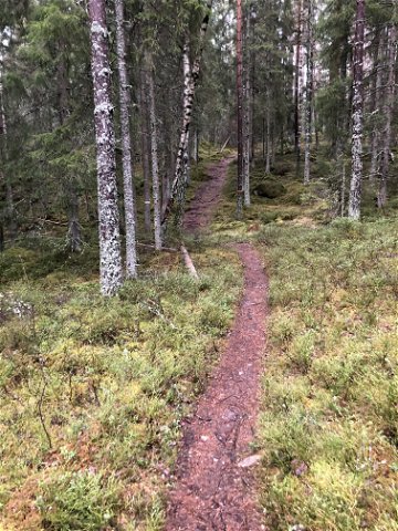
Pilgrim Trail
![[Boxholm ] Boxholm - Trehörna EN](https://uploads.naturkartan-cdn.se/b8dd9d51ca4f5eec9a2c79467491898e.jpg?width=640&height=480)
Hiking
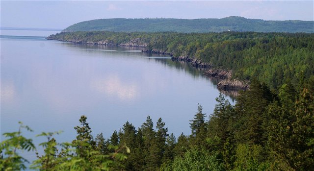
![|Translated by Google translation| [Motala] Medevi - Godegård, Krassbäck](https://uploads.naturkartan-cdn.se/d8df538babfd13260b39ea891254ea6a.jpg?width=640&height=480)
Hiking

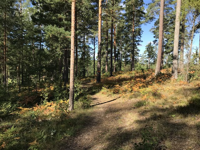
![|Translated by Google translation| [Kinda] Kisa-Horn](https://uploads.naturkartan-cdn.se/a705c2faf327ad89d400bb12771750a5.jpg?width=640&height=480)
Hiking

Hiking
![[Boxholm ] Rundslinga Stora Jordgölen - Storhagen EN](https://uploads.naturkartan-cdn.se/f74034c5935cb31d02a0ea5da1bfb074.jpg?width=640&height=480)
 Circular trail
Hiking
Hiking
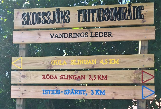
![|Translated by Google translation| [Mjölby] Skogssjön - Örbäckens nature reserve](https://uploads.naturkartan-cdn.se/f691caaf58f240e41aa9f5cffe42ae45.jpg?width=640&height=480)
Hiking

Circular trail