


Kisa-Horn,Östgöta trail
Hiking
- County: Östergötlands län
- 6791.7 km away from you
Trail details
- Length 25.1 km
Actions
Description
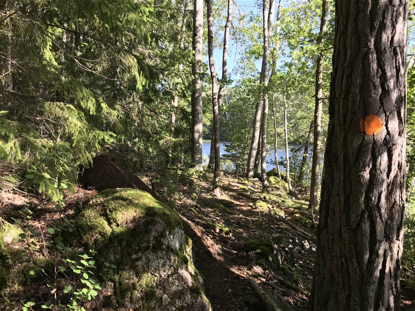
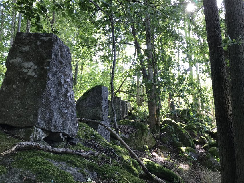
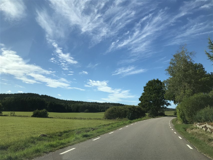
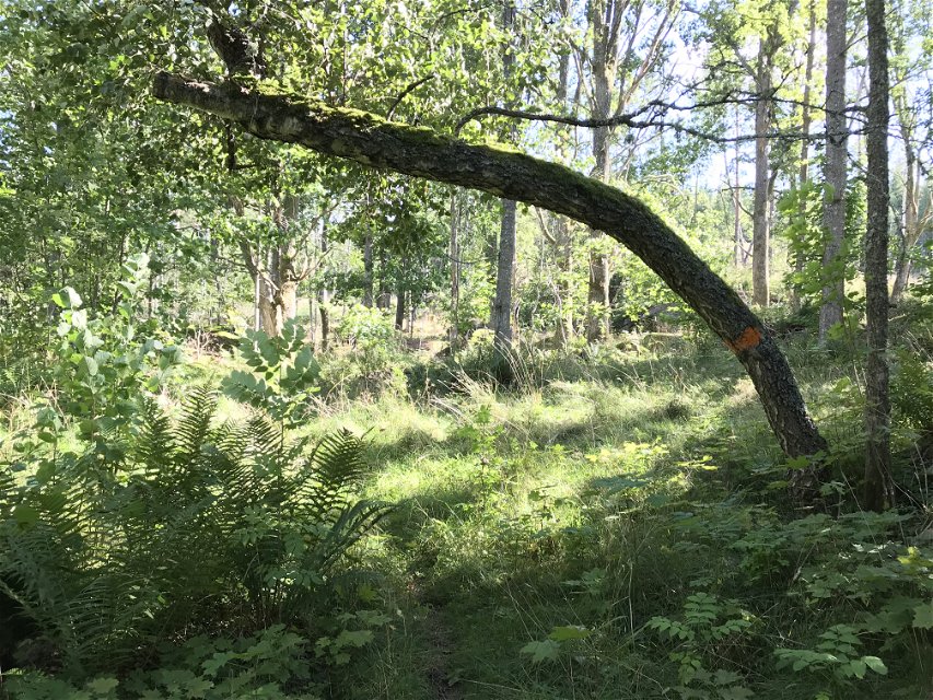
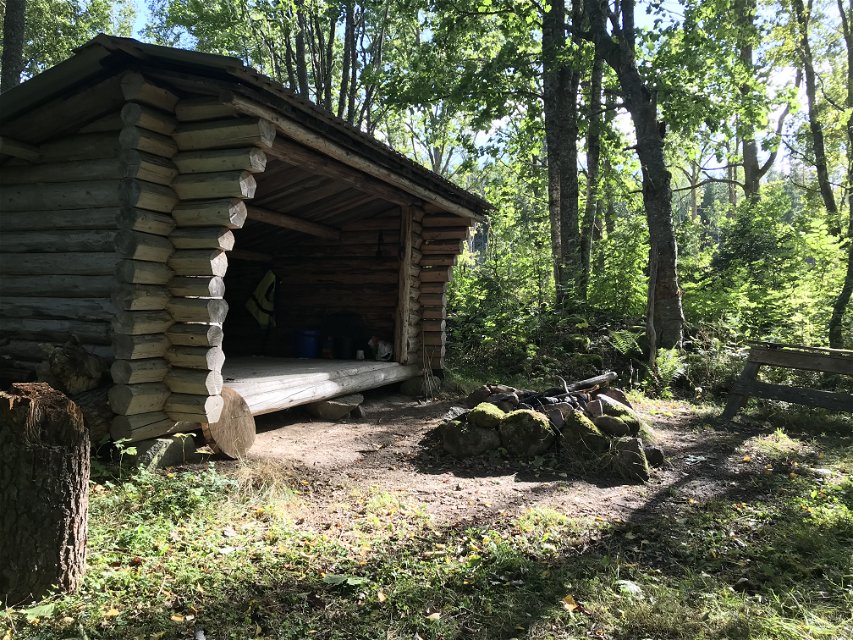
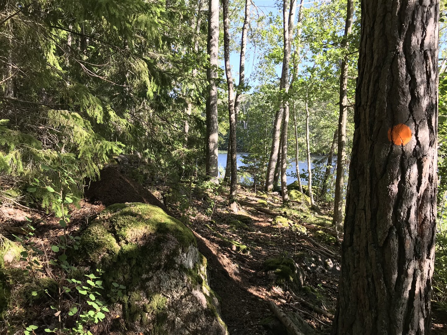
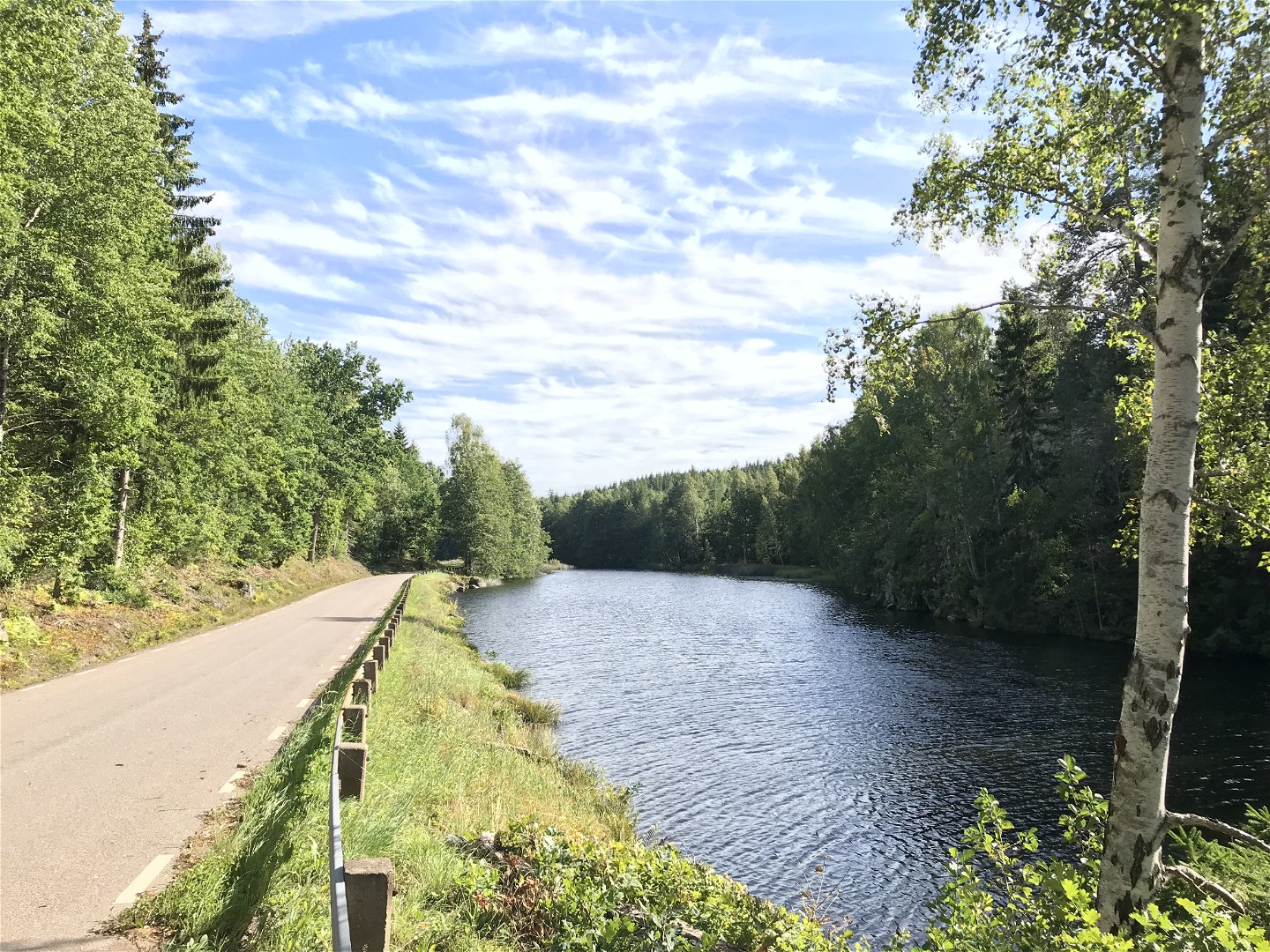
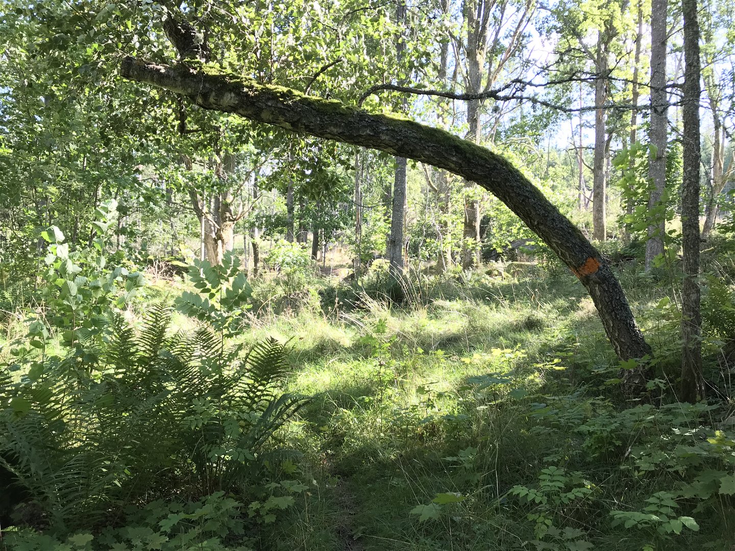
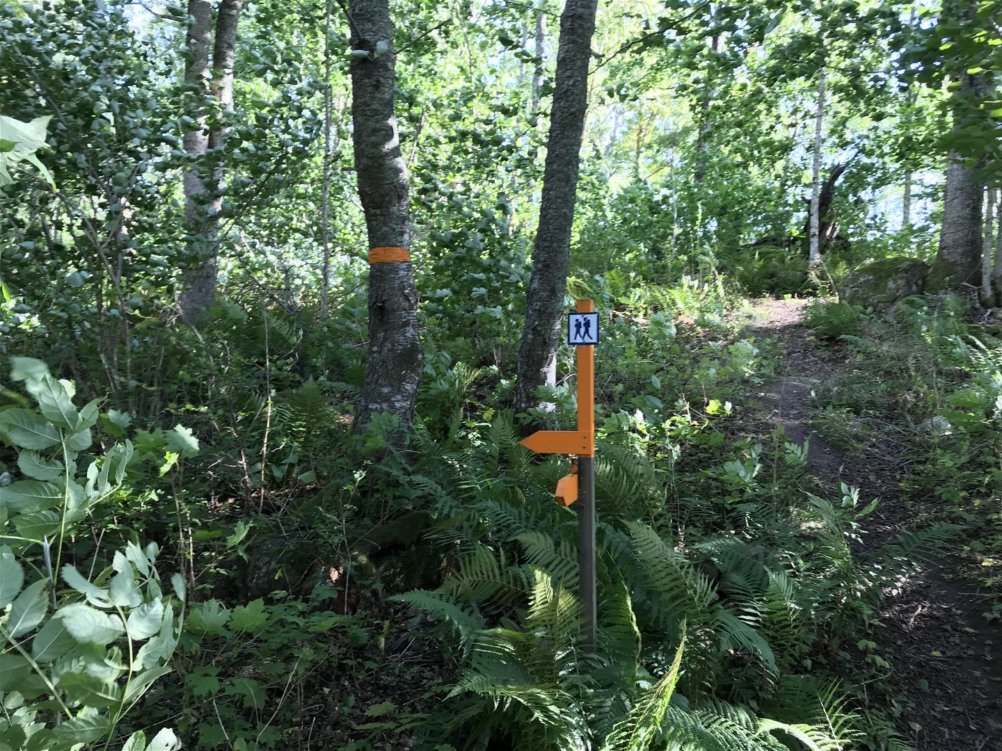
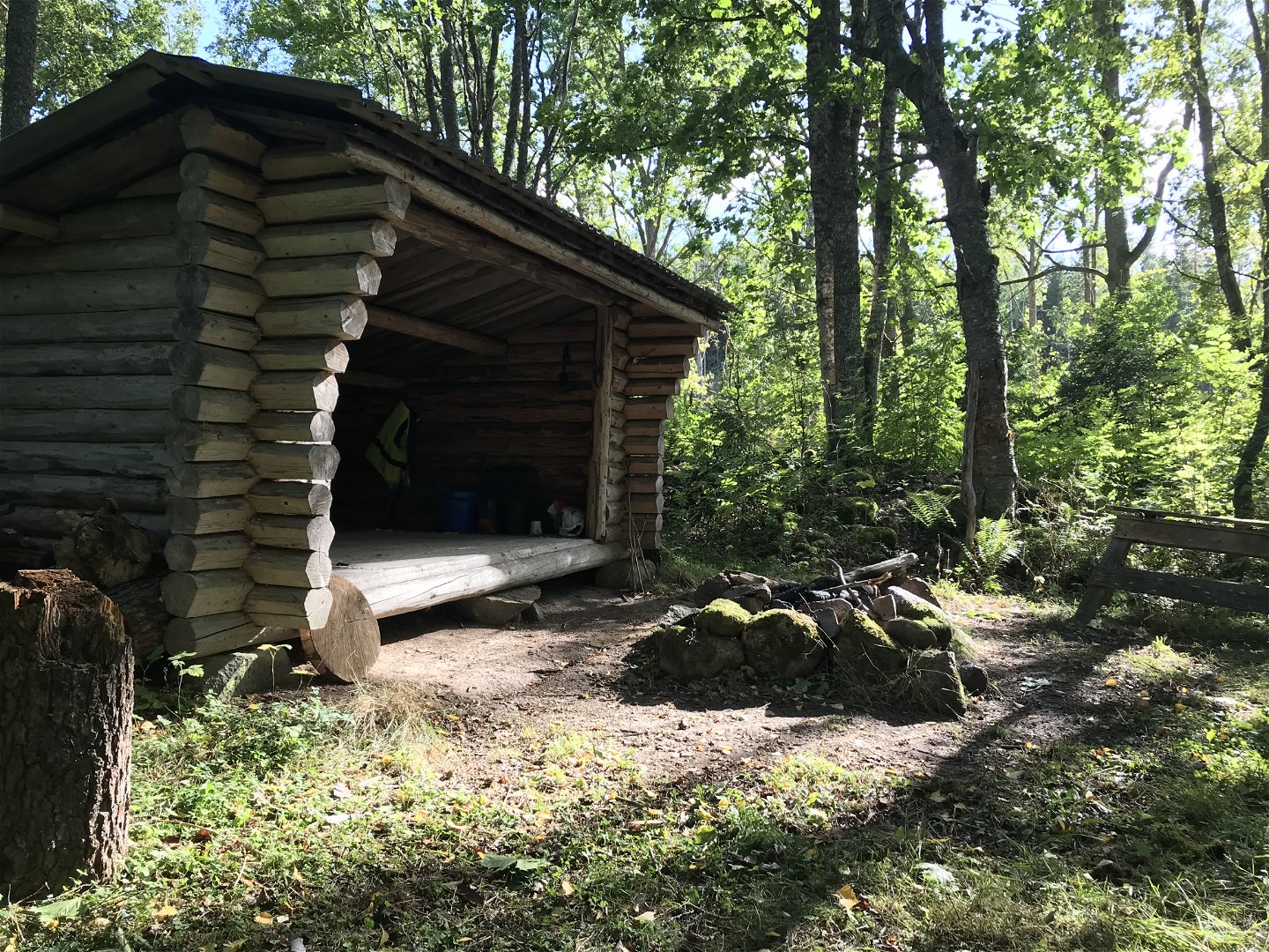
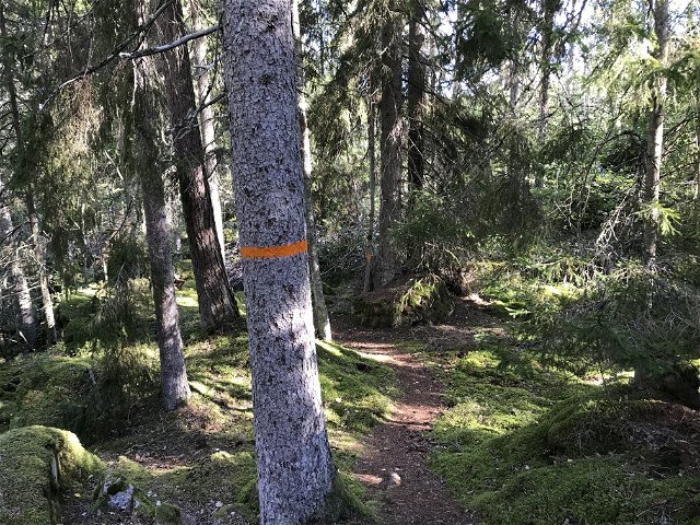
From Kisa, the trail starts with a part of the trail on the roads. However, the route ends with forest terrain. As a whole, the route may be considered easy to hike. The trail passes the village Axhult where there is a small beach with a jetty by Axsjön. After 17 km, the trail passes Lake Täftern where there is a wind shelter.
Activities And Facilities
-
Hiking
Contact
Address
Kinda kommun Stora Torget 5 KISA
Email address
Kultur och Fritid, Kinda kommun
Questions & Answers
Ask a question to other Naturkartan users.
Reviews
You might also be interested in
