


Höglandsleden stage HÖ18 Vikskvarn -Tomtabacken - A part of Småland Trail
Hiking
- County: Jönköpings län
- 6758.21 km away from you
Trail details
- Length 14.3 km
Actions
Description
The Höglandsleden trail in Nässjö offers magnificent views and distinct seasons, with snowy winters and starry nights.
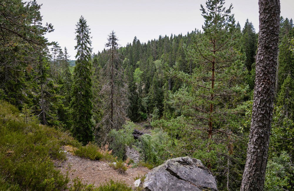
Three stages of the trail meet at Vikskvarn, where you can choose to walk south towards Forsa and eventually to Sävsjö and further along the Höglandsleden. Northwards the trail goes to Lövhult, Nässjö's outdoor recreation area where there is also the possibility of camping or accommodation in a cottage. To the west, the trail passes Tomtabacken and continues down to Gnosjö where Järnbärarleden takes over. This is also part of Smålandsleden. The stage is 14.3 km.
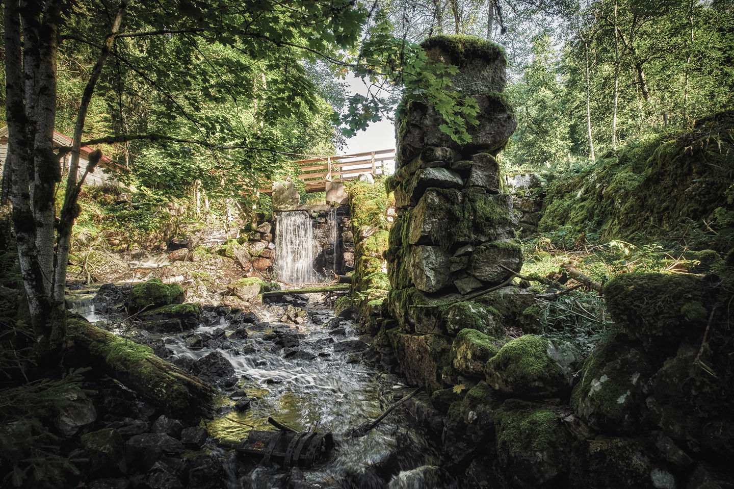
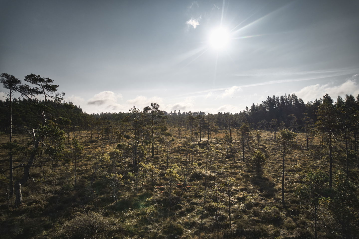
Vikskvarn is a nature reserve with rich flora and fauna, perfect for enjoying untouched nature and geological formations.
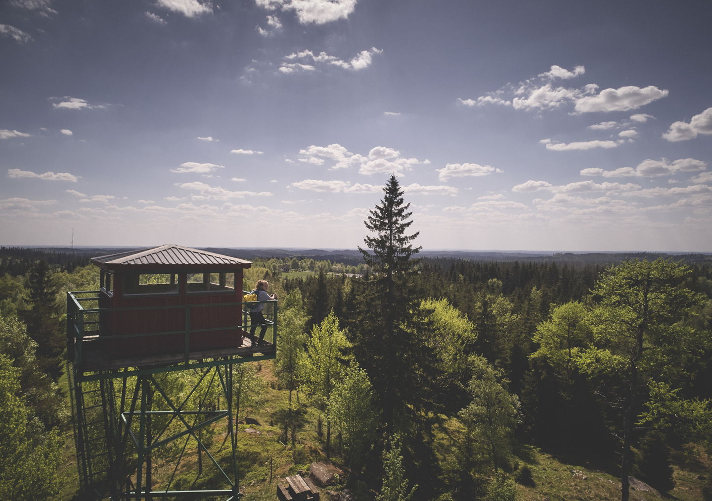
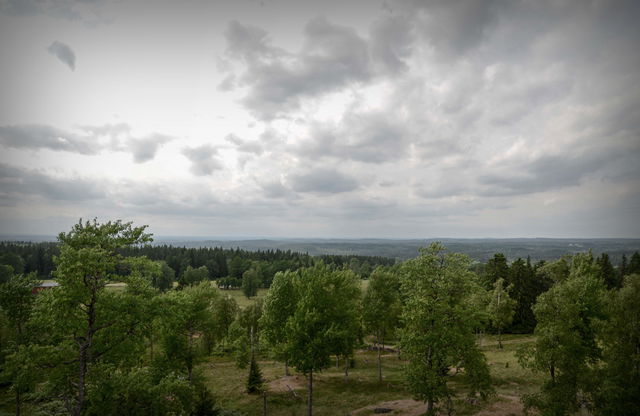
Huluberget offers a viewing tower with a fantastic view of Nässjö and the surrounding mosslands. Once at Tomtabacken, which at 377 meters above sea level is the highest point in Götaland, you can enjoy miles of views from the observation tower. The place has the same average temperature in summer as Jokkmokk at the Arctic Circle!
At both Vikskvarn and Tomtabacken there are parking facilities, toilets, overnight accommodation and rest areas.
Activities And Facilities
-
Hiking
Contact
Email address
Organization logotype
![]()
Questions & Answers
Ask a question to other Naturkartan users.
Reviews
You might also be interested in
