


Höglandsleden etapp HÖ18 Vikskvarn -Tomtabacken - En del av Smålandsleden
Wędrówki piesze
- Województwo: Jönköpings län
- 6758.21 km od Ciebie
Szczegóły dotyczące szlaku
- Długość 14.3 km
Akcje
Opis
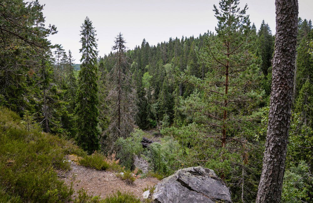
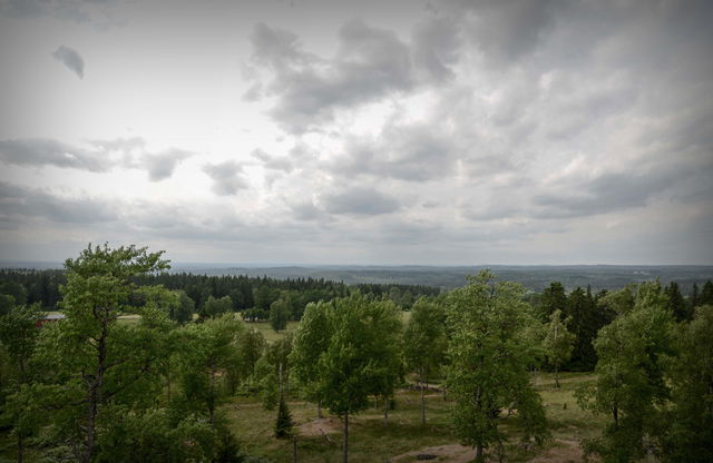
The Höglandsleden trail in Nässjö offers magnificent views and distinct seasons, with snowy winters and starry nights.
Three stages of the trail meet at Vikskvarn, where you can choose to walk south towards Forsa and eventually to Sävsjö and further along the Höglandsleden. Northwards the trail goes to Lövhult, Nässjö's outdoor recreation area where there is also the possibility of camping or accommodation in a cottage. To the west, the trail passes Tomtabacken and continues down to Gnosjö where Järnbärarleden takes over. This is also part of Smålandsleden. The stage is 14.3 km.
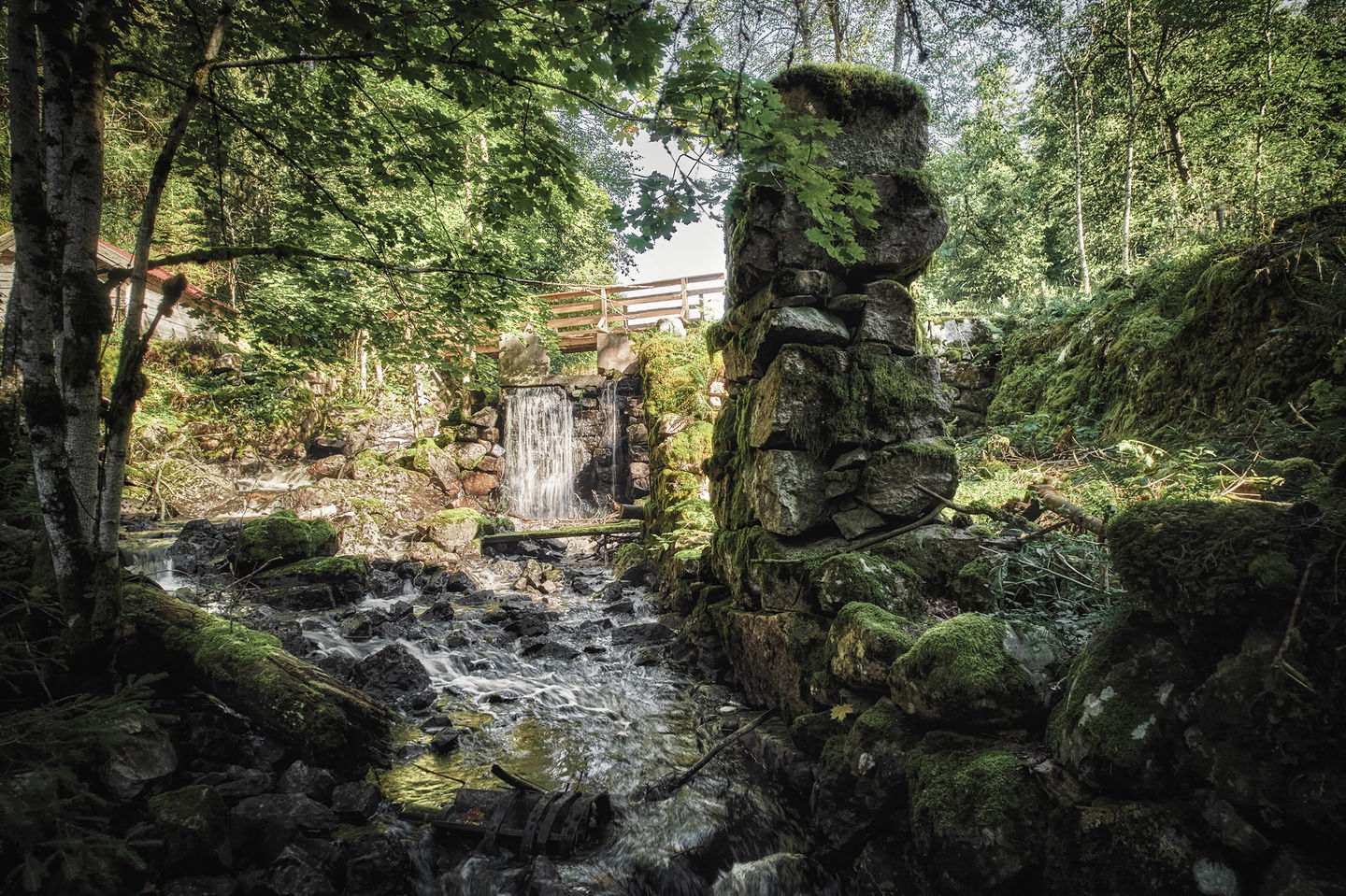
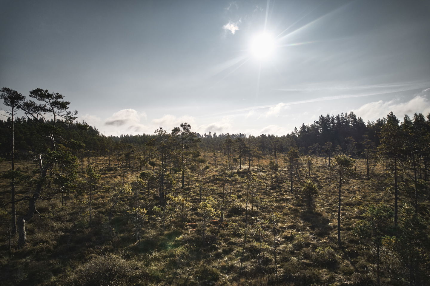
Vikskvarn is a nature reserve with rich flora and fauna, perfect for enjoying untouched nature and geological formations.
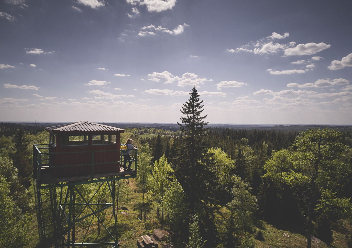
Huluberget offers a viewing tower with a fantastic view of Nässjö and the surrounding mosslands. Once at Tomtabacken, which at 377 meters above sea level is the highest point in Götaland, you can enjoy miles of views from the observation tower. The place has the same average temperature in summer as Jokkmokk at the Arctic Circle!
At both Vikskvarn and Tomtabacken there are parking facilities, toilets, overnight accommodation and rest areas.
Działania i udogodnienia
-
Wędrówki piesze
Kontakt
Adres e-mail
Logotyp organizacji
![]()
Należy pamiętać, że niektóre z tych tekstów zostały przetłumaczone automatycznie.
Pytania i Odpowiedzi
Zadaj pytanie innym użytkownikom Naturkartan.
Recenzja
Może zainteresują Cię również
