Bokhultet's red loop
Hiking
- County: Kronobergs län
- 6809.62 km away from you
Trail details
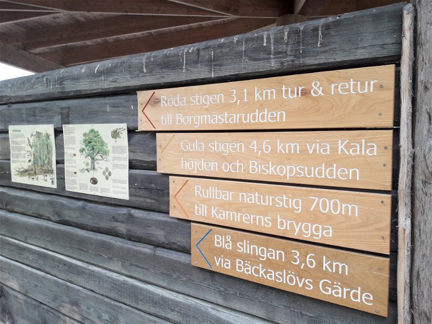
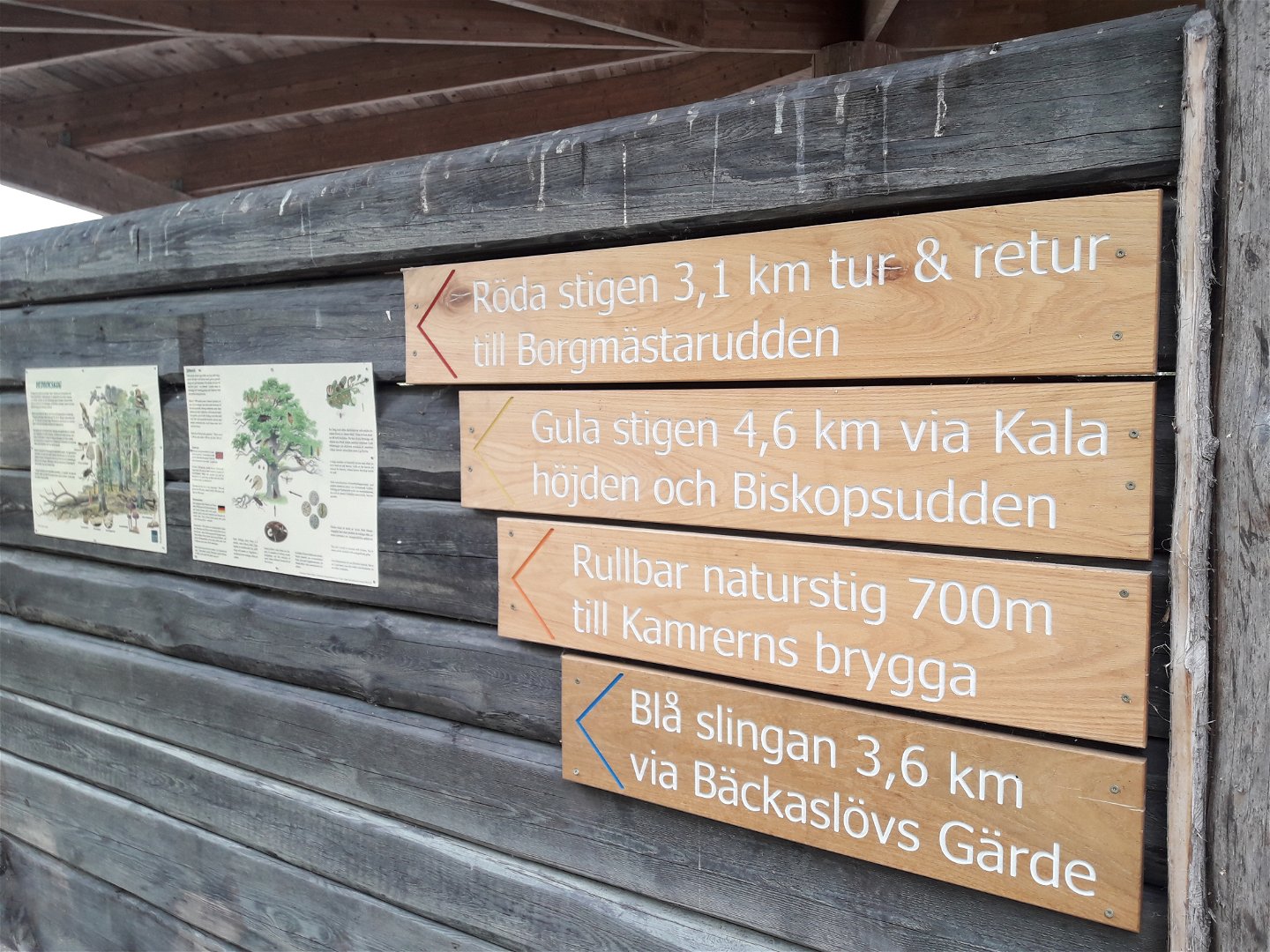
- Length 3.1 km
- Difficulty Blue - medium
Actions
Description
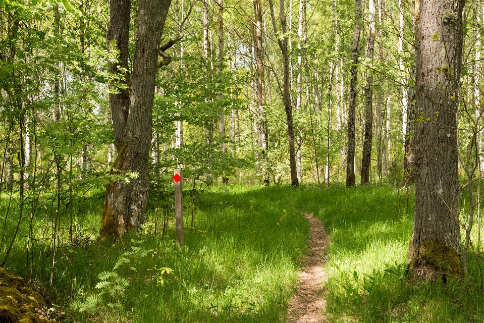
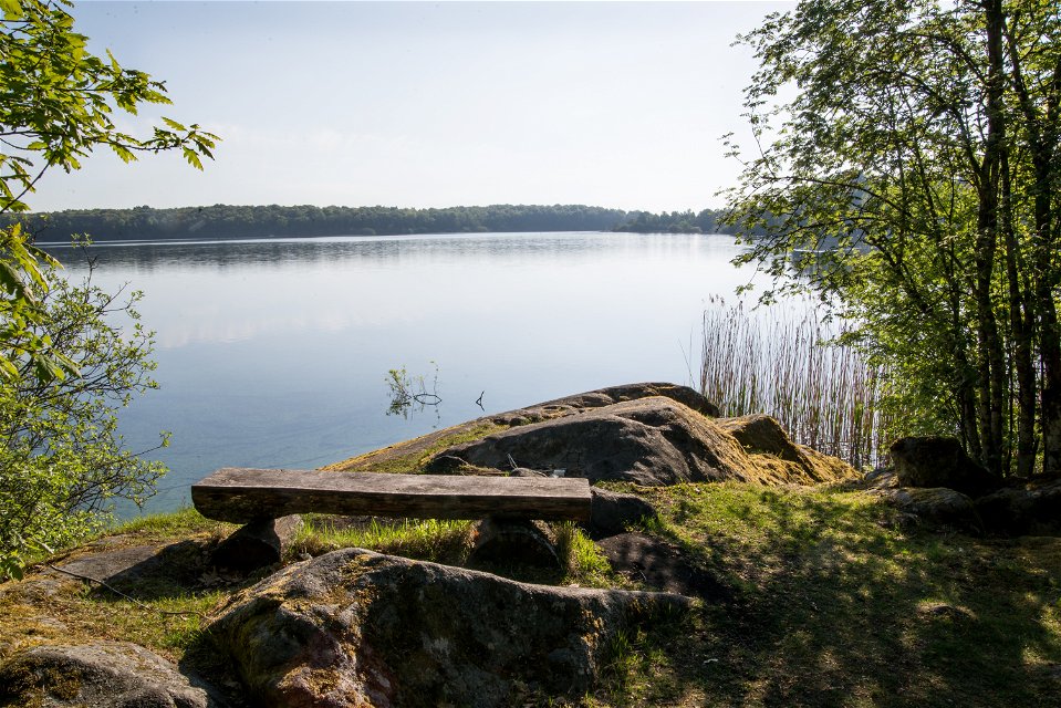
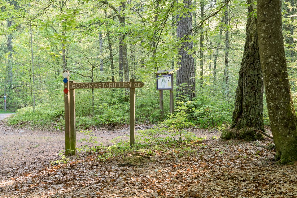
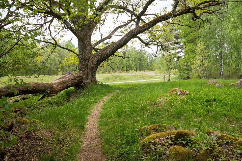
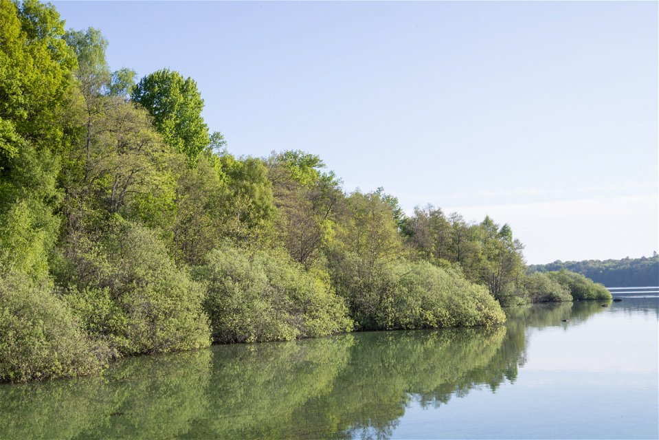
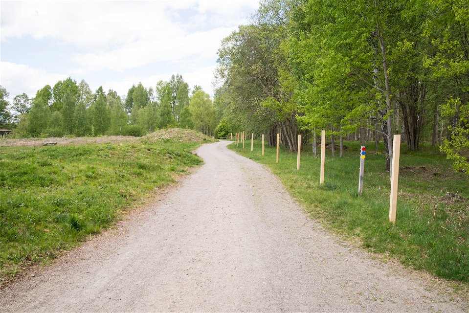
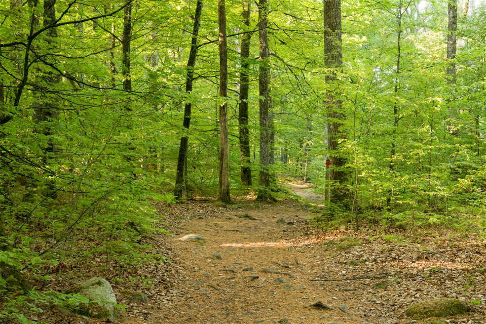
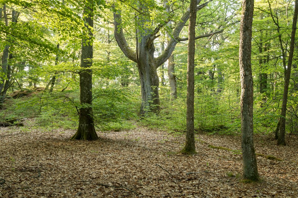
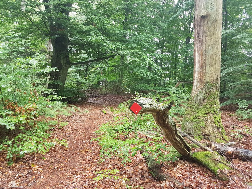
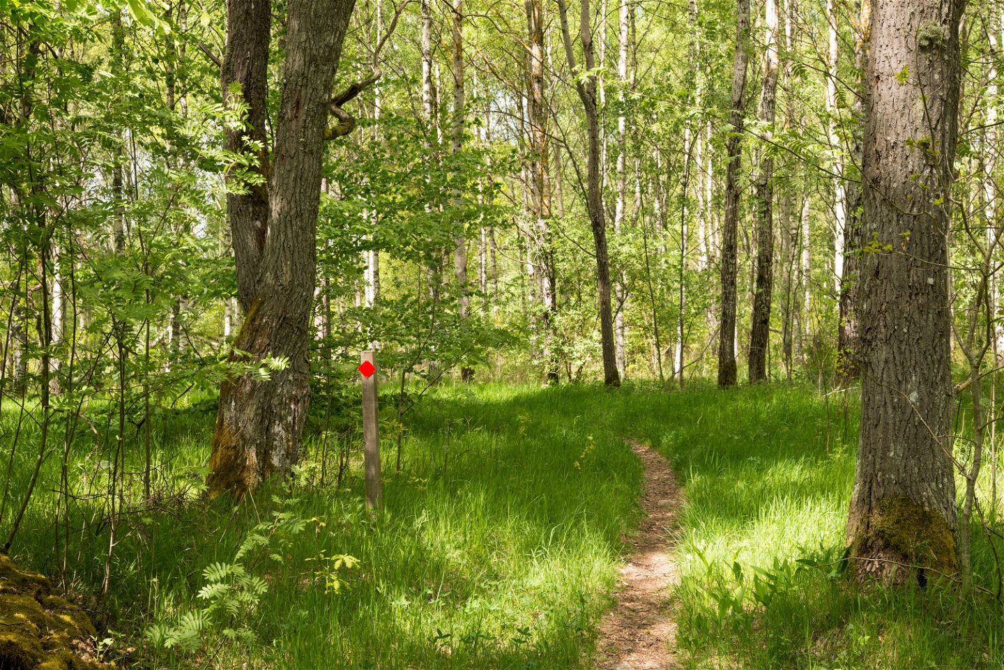
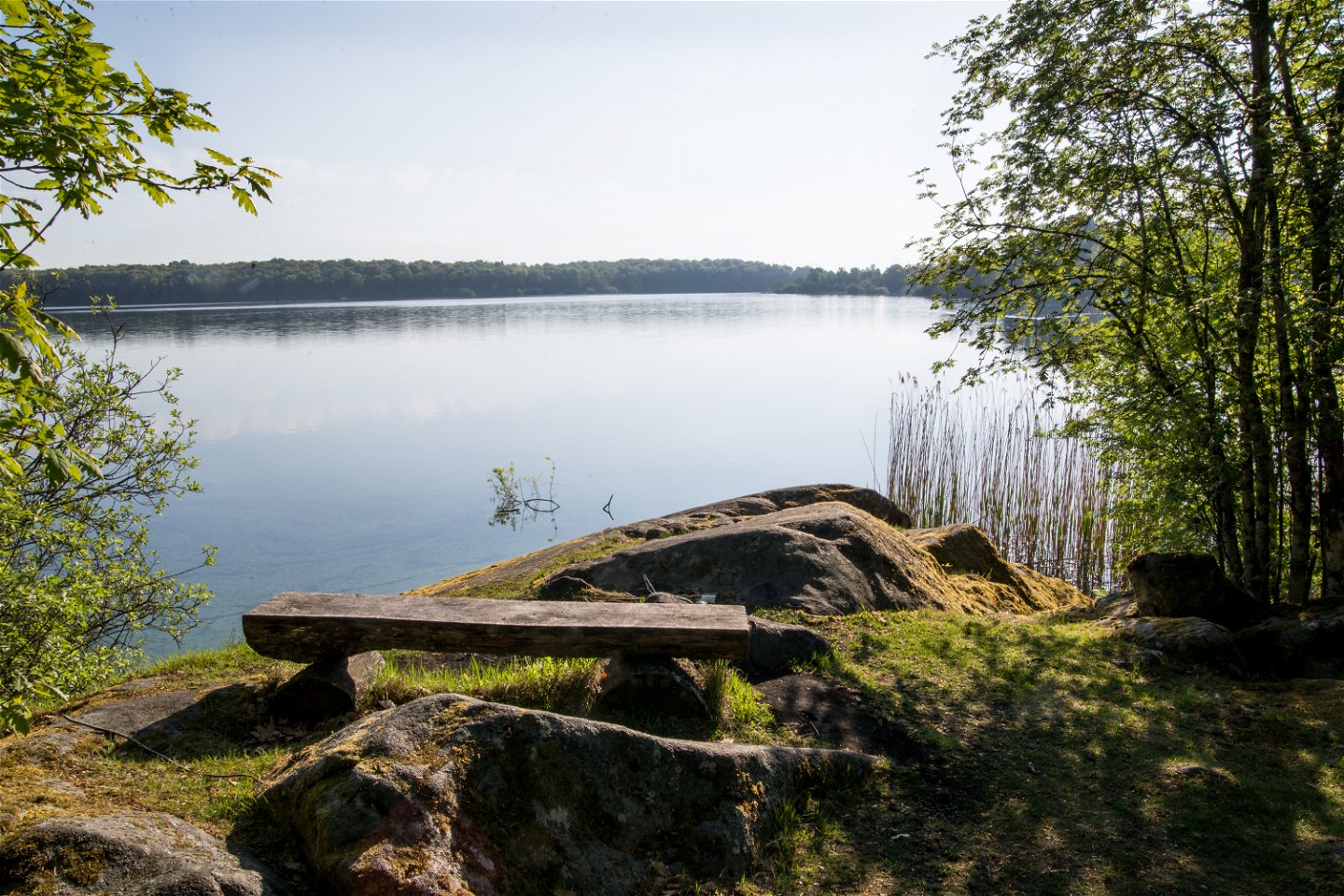
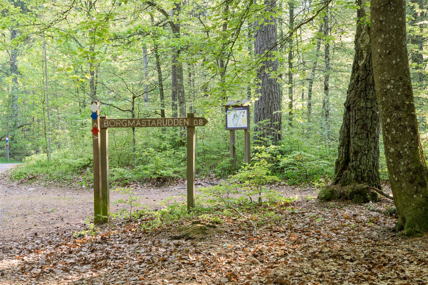
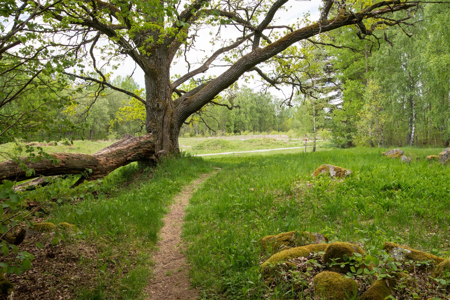
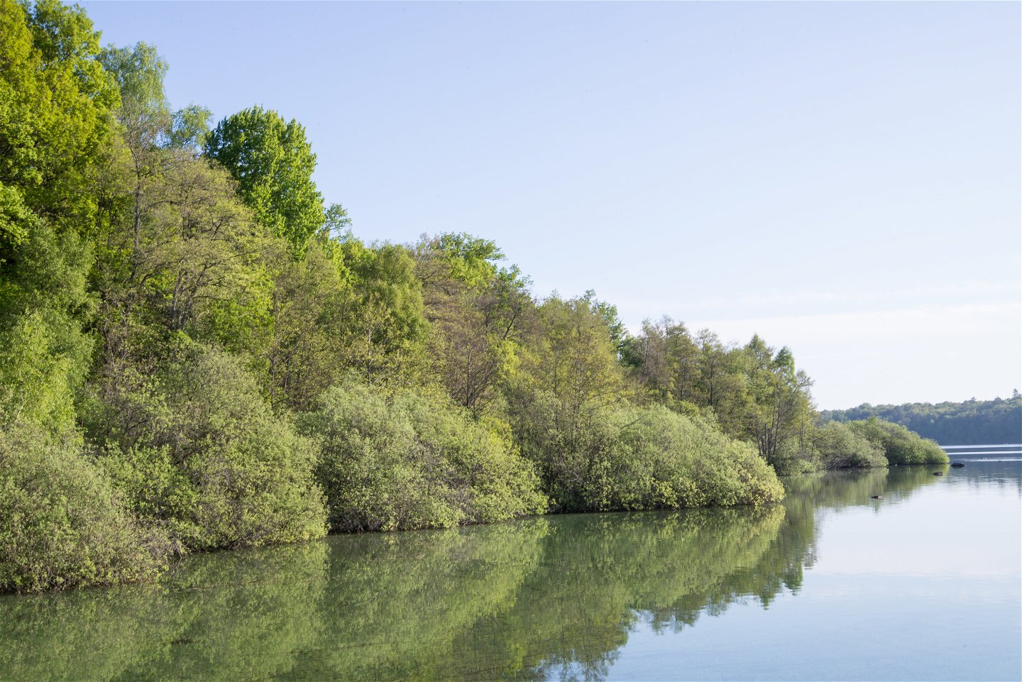
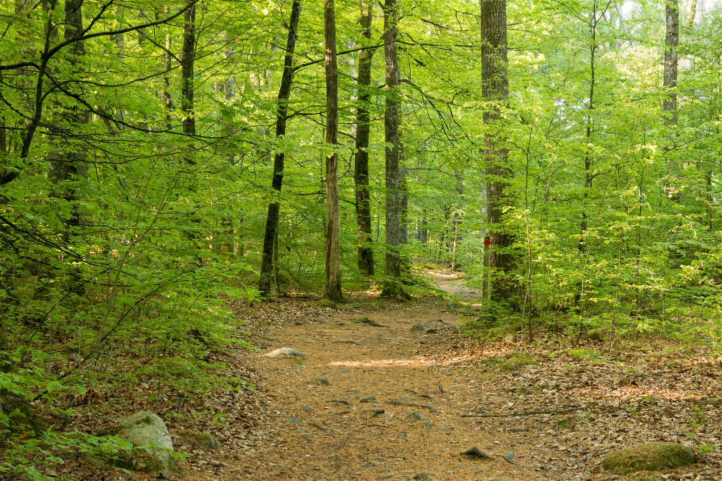
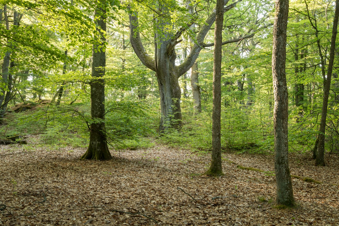
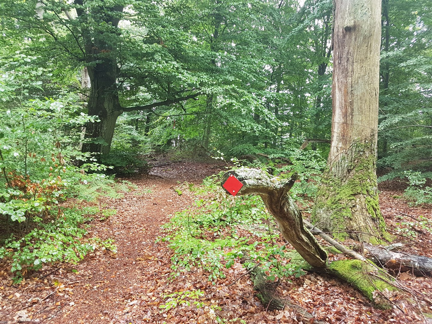
Hike or trail-run on this trail through this beautiful leafy forest out to Borgmästarudden cape. There are many trails and roads in the Bokhultet nature reserve that make for great recreation. The red route goes to the eastern part of the reserve on narrow trails, whilst the western part is easier to walk. This is a 3.1 kilometre long loop amidst the tranquillity of Bokhultet.
Activities And Facilities
-
Hiking
-
Trail running
Accessibility
-
Near parking
Surface
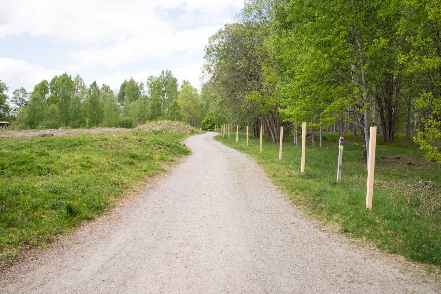
Gravel path and smaller nature trail that may require sturdy walking shoes in wet seasons.
Hills
Relatively flat
Directions
Bokhultets red loop is located in Bokhultets nature reserve. Bokhultet is located just under two kilometers southwest of Växjö city center.
Contact
Address
Telefon 0470-410 00
Email address
Kontaktcenter
Organization logotype

Please be aware that some of these texts have been automatically translated.
Questions & Answers
Ask a question to other Naturkartan users.

