Bokhultets röda slinga
Wędrówki piesze
- Województwo: Kronobergs län
- 6458.75 km od Ciebie
Szczegóły dotyczące szlaku
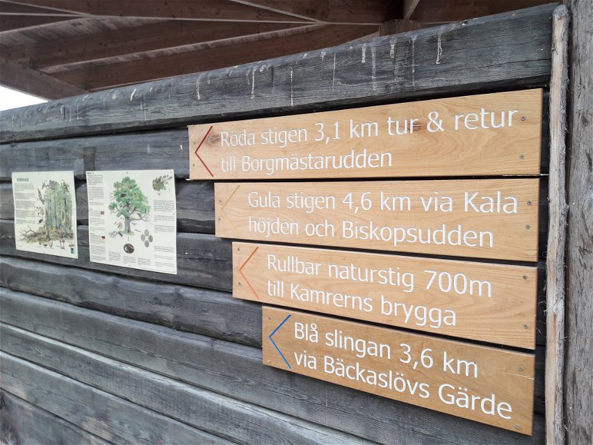
- Długość 3.1 km
- Trudność Niebieski - średni
Akcje
Opis
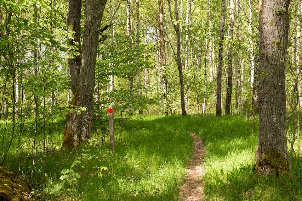
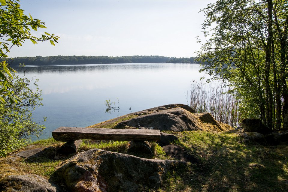
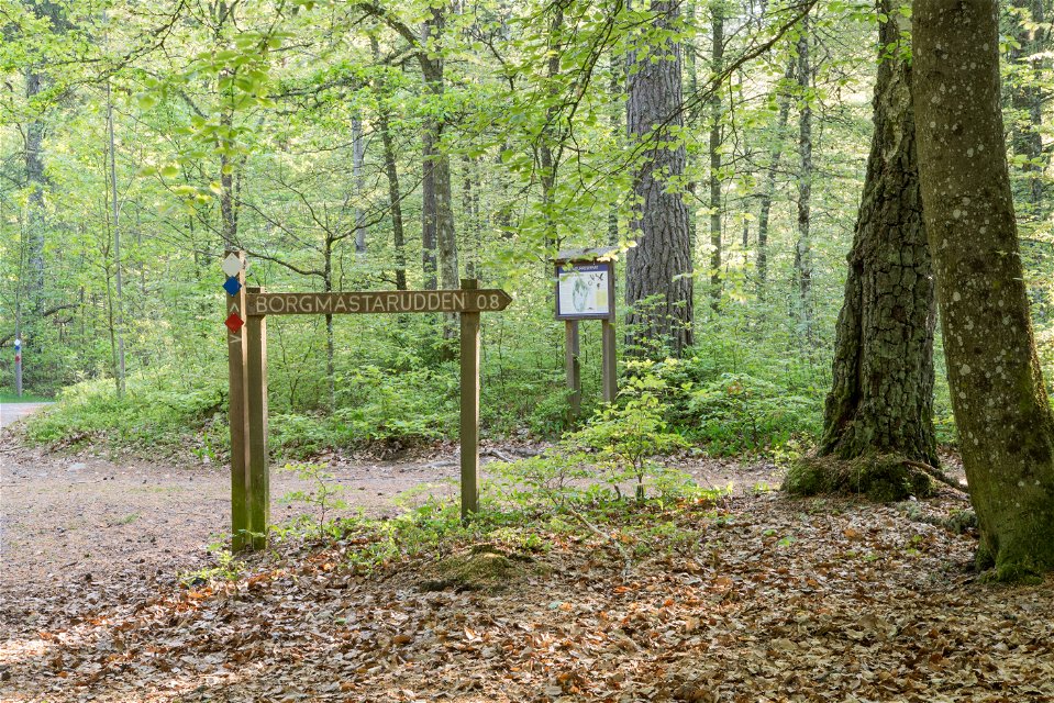
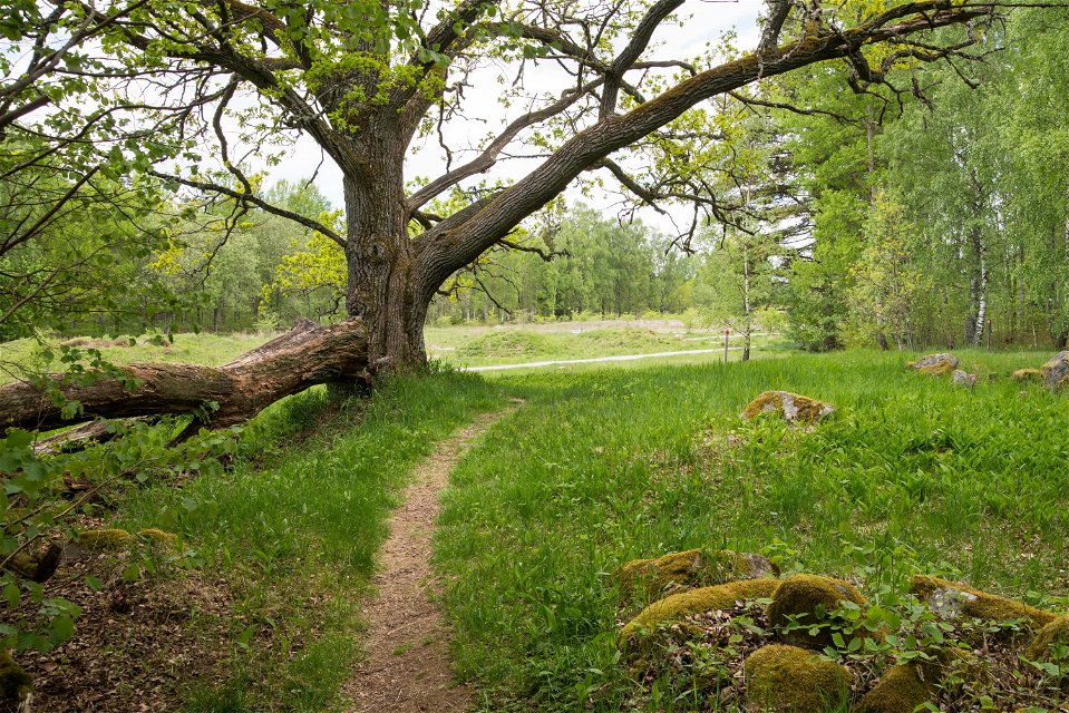
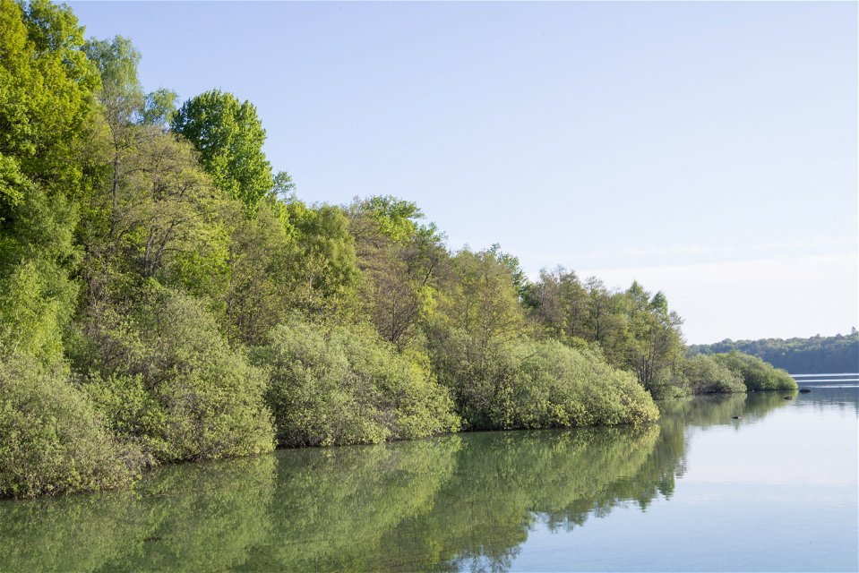
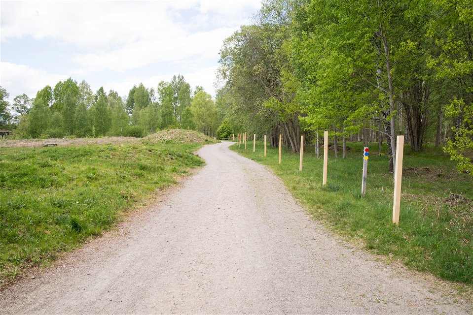
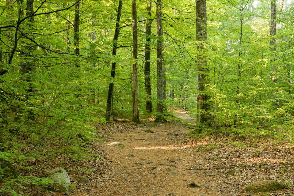
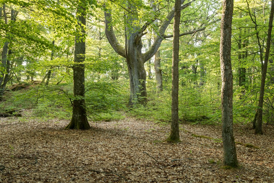
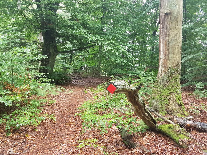
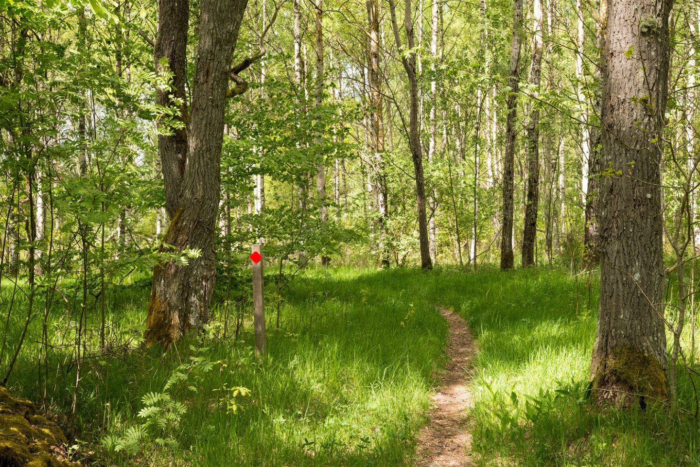
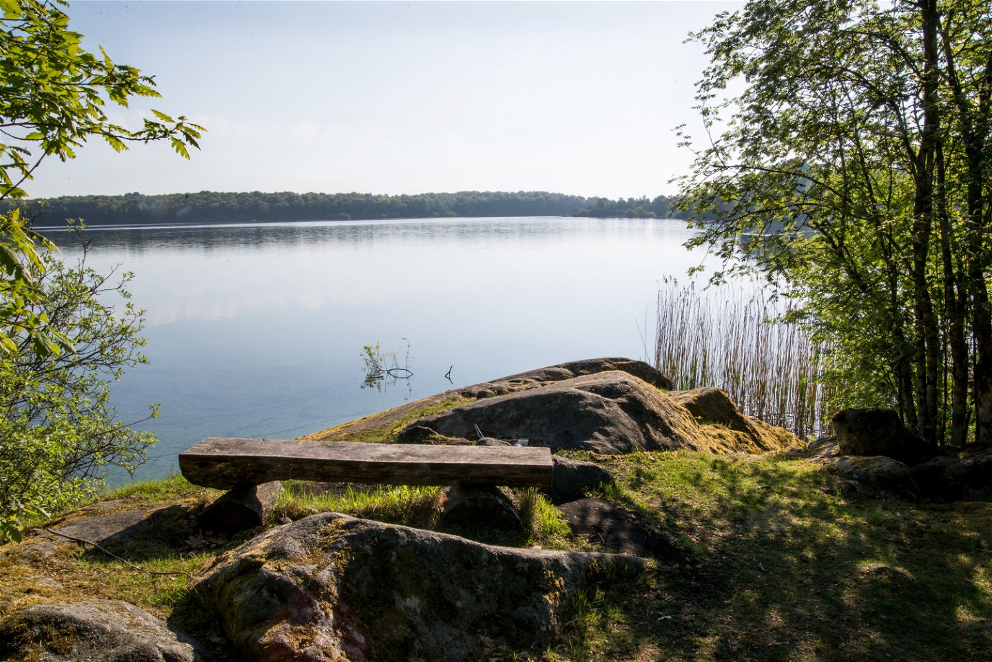
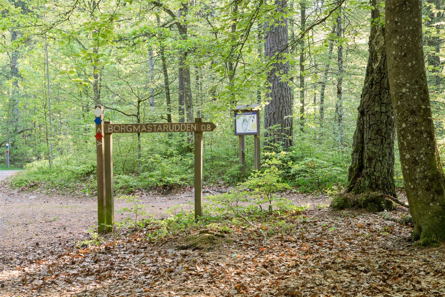
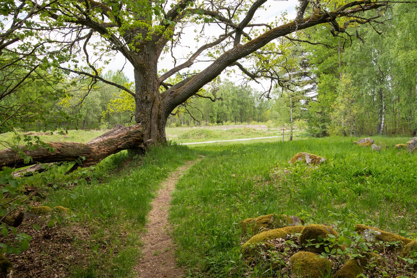
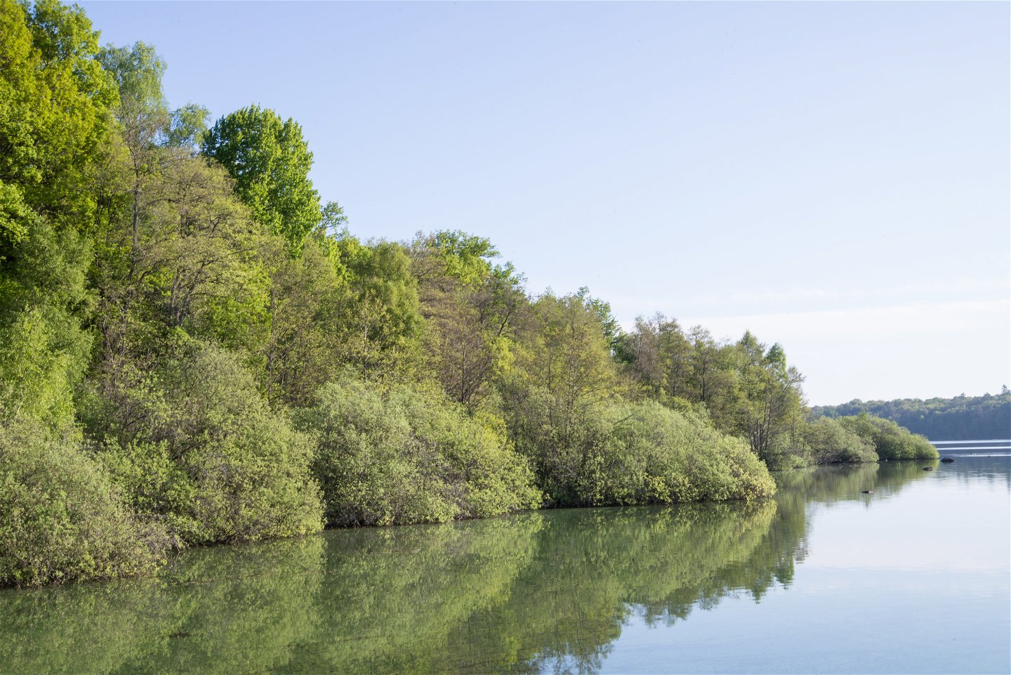
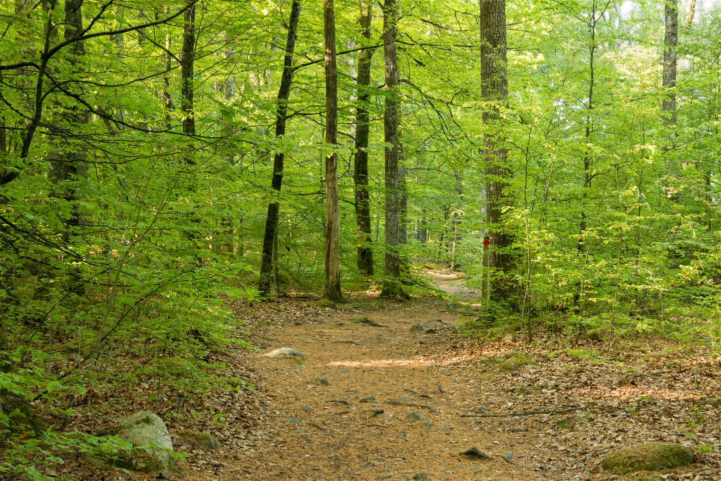
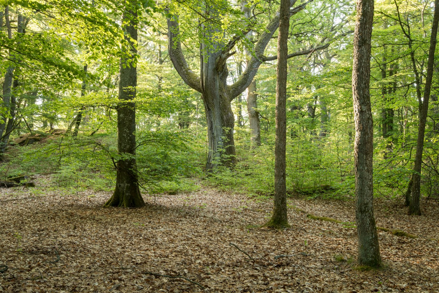
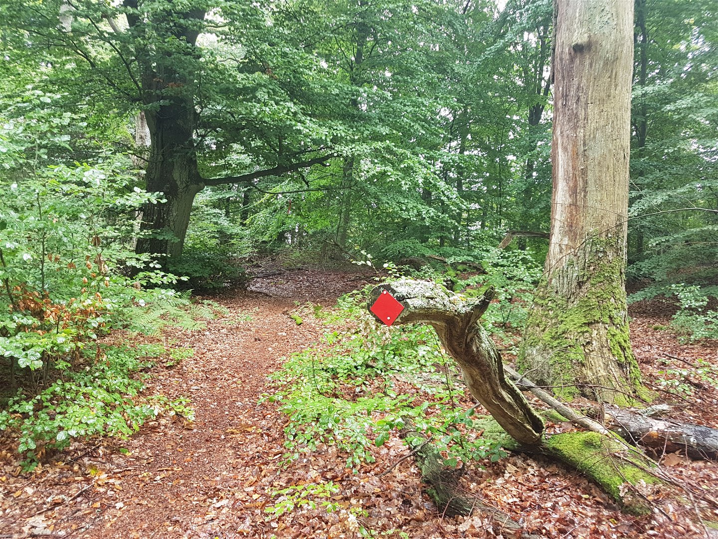
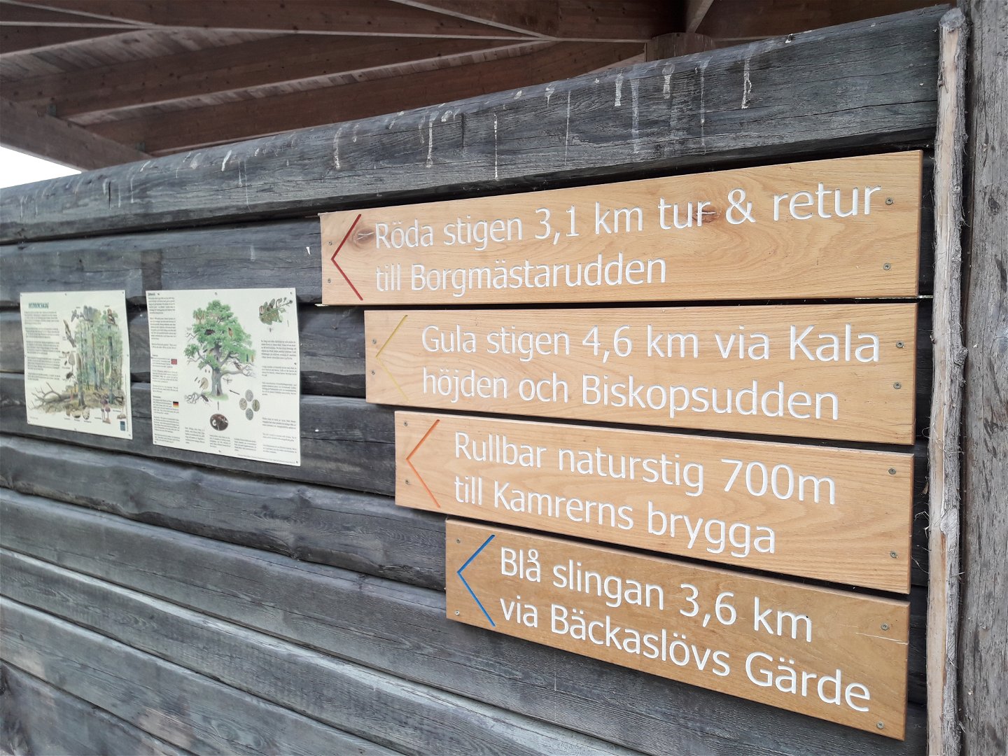
Hike or trail-run on this trail through this beautiful leafy forest out to Borgmästarudden cape. There are many trails and roads in the Bokhultet nature reserve that make for great recreation. The red route goes to the eastern part of the reserve on narrow trails, whilst the western part is easier to walk. This is a 3.1 kilometre long loop amidst the tranquillity of Bokhultet.
Działania i udogodnienia
-
Wędrówki piesze
-
Bieganie szlakami
Dostępność
-
Blisko parkingu
Powierzchnia
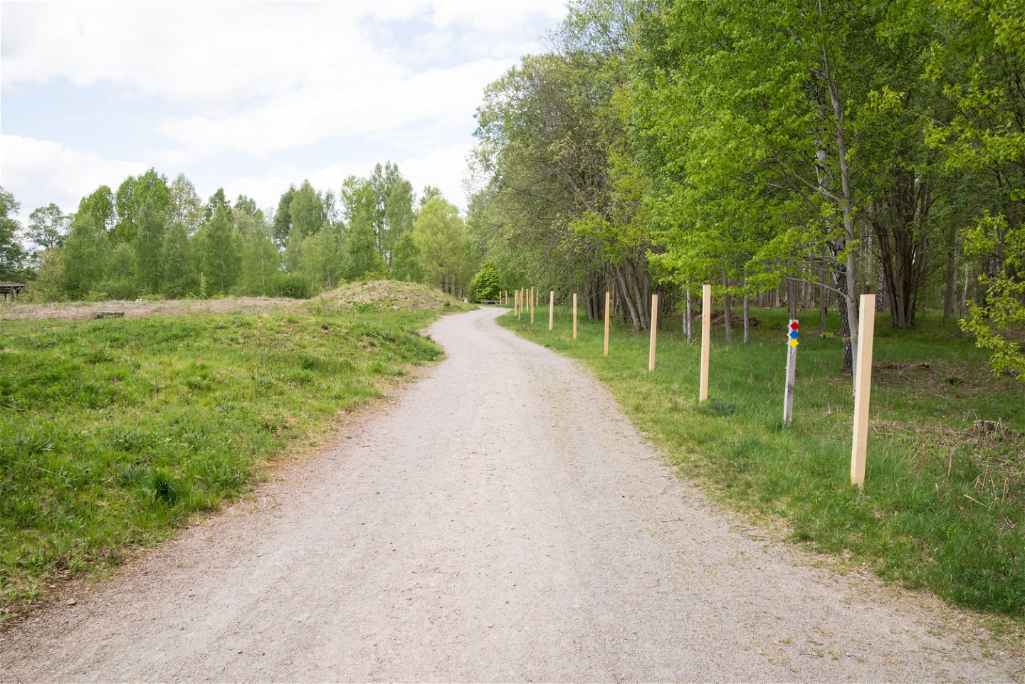
Gravel path and smaller nature trail that may require sturdy walking shoes in wet seasons.
Wzgórza
Relatively flat
Wskazówki dojazdu
Bokhultets red loop is located in Bokhultets nature reserve. Bokhultet is located just under two kilometers southwest of Växjö city center.
Kontakt
Adres
Telefon 0470-410 00
Adres e-mail
Kontaktcenter
Logotyp organizacji

Należy pamiętać, że niektóre z tych tekstów zostały przetłumaczone automatycznie.
Pytania i Odpowiedzi
Zadaj pytanie innym użytkownikom Naturkartan.

