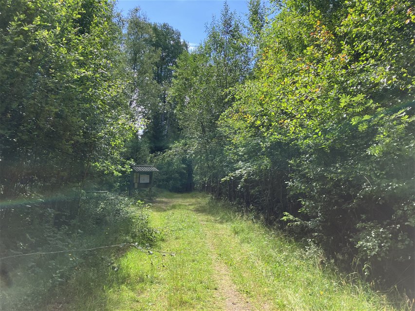
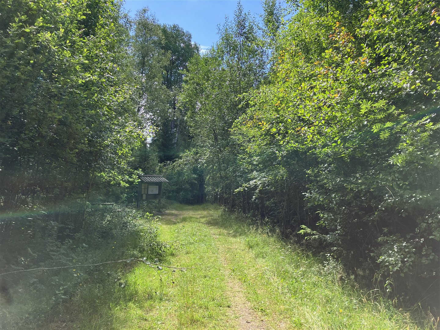
MTB Vislandarundan
Mountainbiking
- County: Kronobergs län
- 6767.02 km away from you
Trail details
- Length 72.8 km
- Difficulty Black - experienced
Actions
Description
This is not an official trail but a tour suggestion from Happyride.se
The tour goes on small forest roads, past lakes, bog reserves and mountain nature reserves. The tour between Ljungby and Målaskog follows the Banvallsleden.
The Banvallsleden is signposted, the rest of the round is not signposted, but feel free to use the app's map to stay on course.
Activities And Facilities
-
Biking
-
Mountainbiking
Contact
Email address
Organization logotype

Questions & Answers
Ask a question to other Naturkartan users.


