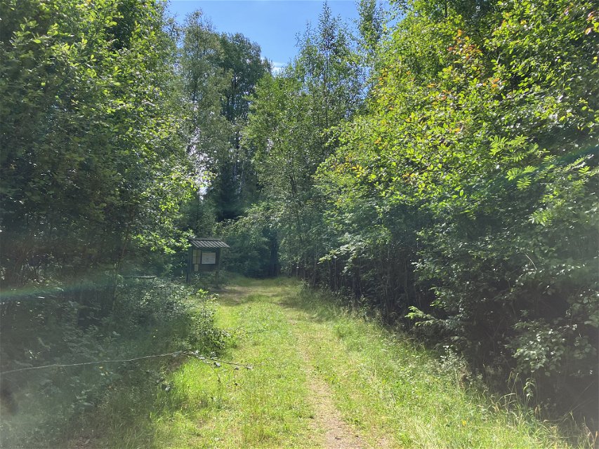
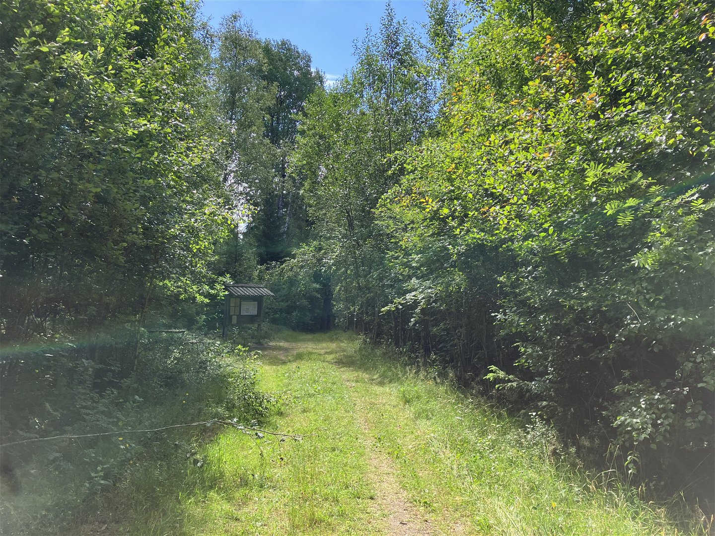
MTB Vislandarundan
Mountainbike
- Województwo: Kronobergs län
- 6435.67 km od Ciebie
Szczegóły dotyczące szlaku
- Długość 72.8 km
- Trudność Czarny - doświadczony
Akcje
Opis
This is not an official trail but a tour suggestion from Happyride.se
The tour goes on small forest roads, past lakes, bog reserves and mountain nature reserves. The tour between Ljungby and Målaskog follows the Banvallsleden.
The Banvallsleden is signposted, the rest of the round is not signposted, but feel free to use the app's map to stay on course.
Działania i udogodnienia
-
Jazda na rowerze
-
Mountainbike
Kontakt
Adres e-mail
Logotyp organizacji

Należy pamiętać, że niektóre z tych tekstów zostały przetłumaczone automatycznie.
Pytania i Odpowiedzi
Zadaj pytanie innym użytkownikom Naturkartan.


