 Best hiking trails in Kristinehamn
Naturkartan samlar de vandringslederna i Kristinehamn som är populärast bland våra användare.
Map
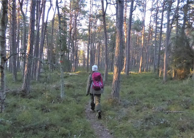
De bästa vandringslederna (41):
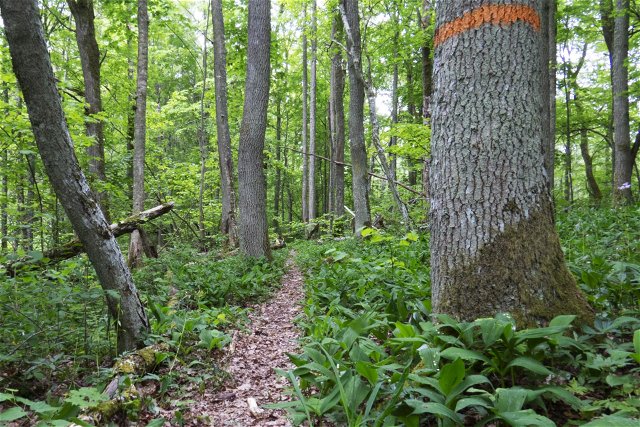
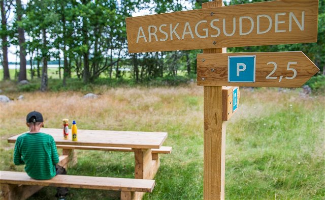
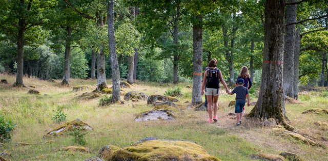
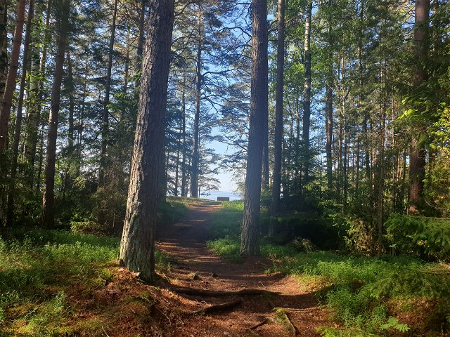
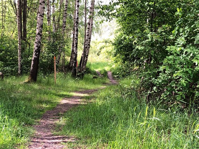
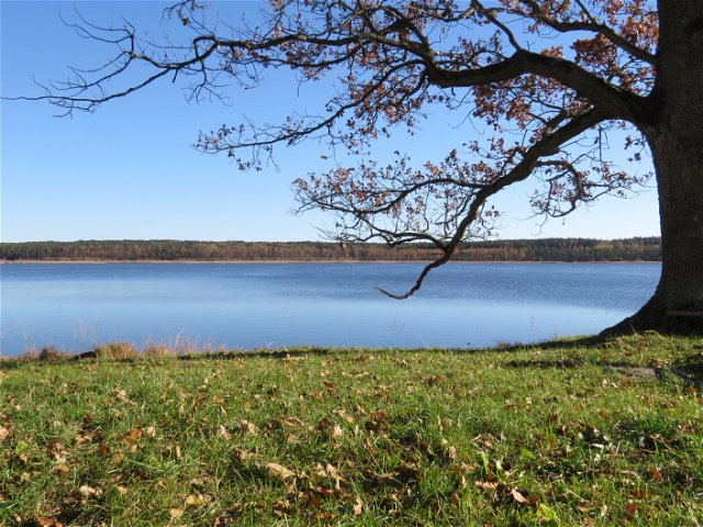
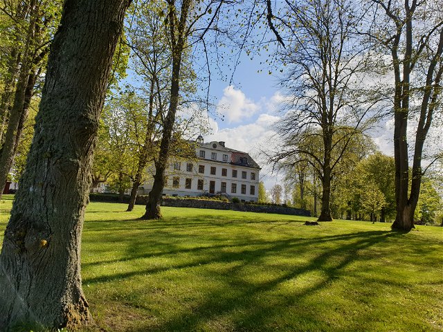
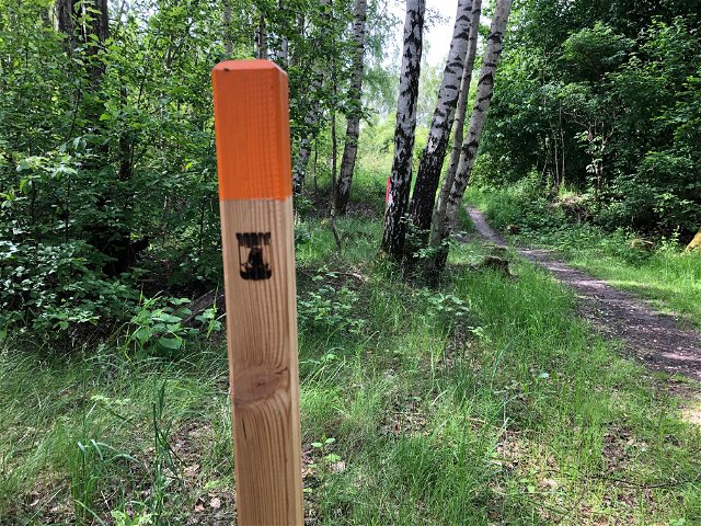
Hiking
Nötöleden
- Municipality: Kristinehamn
- 6651.71 km away from you
- 5.5 km
- about 2 hours
- Difficulty: Blue
Hiking
Jacquelines path
- Municipality: Kristinehamn
- 6642.05 km away from you
- 2.5 km
- Difficulty: Green
Hiking
Arskagsleden Nötön
- Municipality: Kristinehamn
- 6651.68 km away from you
- 5.6 km
- about 2 hours
- Difficulty: Blue
Hiking
Led Kummelön norr
- Municipality: Kristinehamn
- 6635.5 km away from you
- 1.4 km
- Difficulty: Green
Hiking
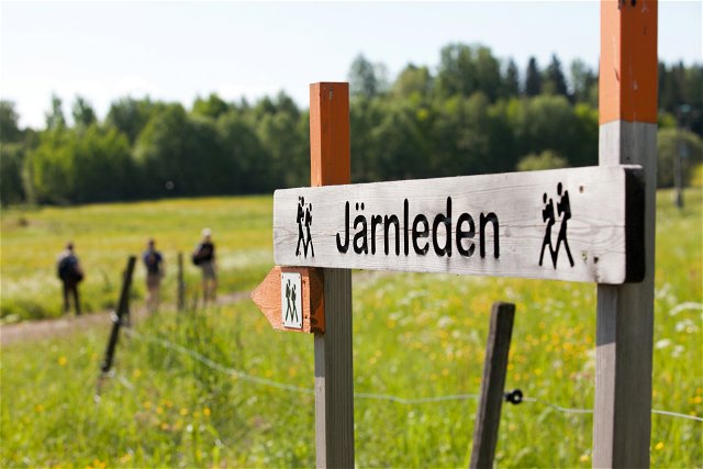
Förbindelse Järnleden
- Municipality: Kristinehamn
- 6640.66 km away from you
- 30.0 km
- Difficulty: Blue

Hiking
Prästöleden, Nötön
- Municipality: Kristinehamn
- 6651.8 km away from you
- 5.8 km
- Difficulty: Blue
Hiking
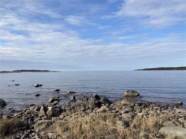
Vålön, Kalvön, Sibberön
- Municipality: Kristinehamn
- 6641.05 km away from you
- 4.0 km
- Difficulty: Green
Hiking
Led Värmlands Säby
- Municipality: Kristinehamn
- 6656.38 km away from you
- 3.6 km
- Difficulty: Blue
Hiking
Förbindelse Sannaleden
- Municipality: Kristinehamn
- 6640.95 km away from you
- 6.0 km
- Difficulty: Green
