


20 naturreservat i Motala kommun
I Motala kommun finns det idag 20 naturreservat. Naturreservat bildas av länsstyrelsen eller kommunen för…

Nature reserve
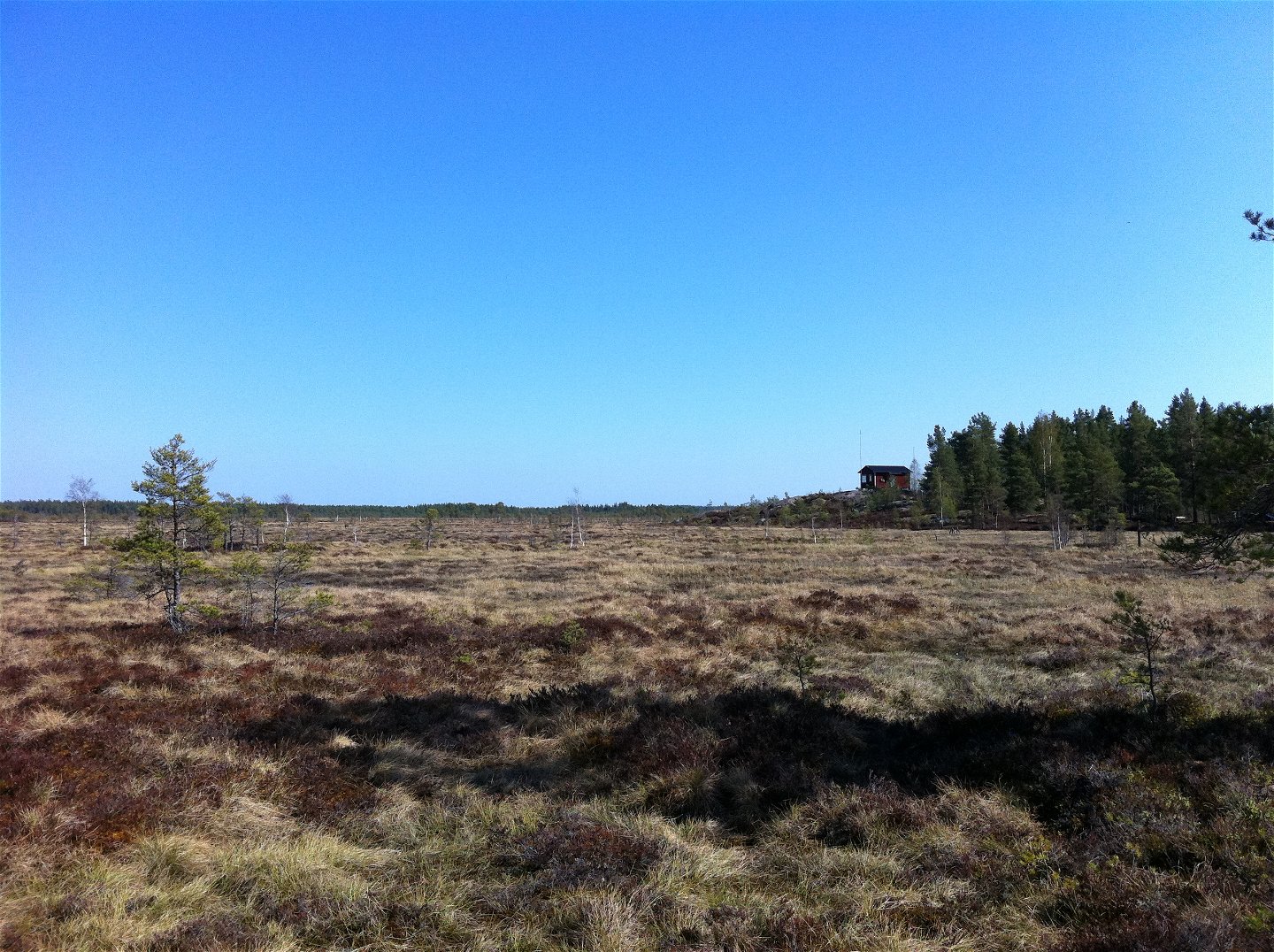
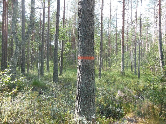
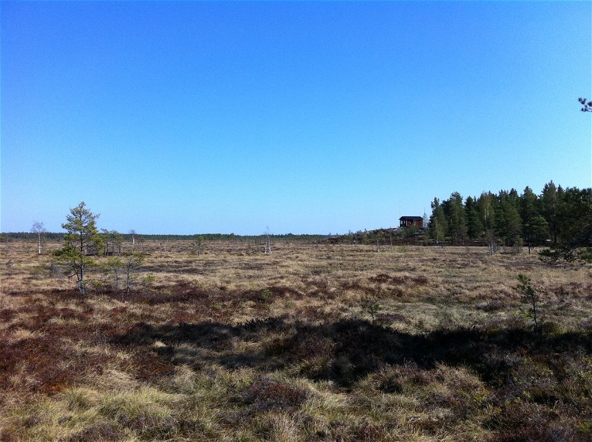
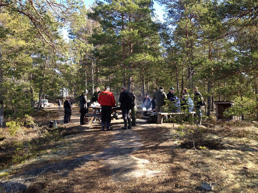
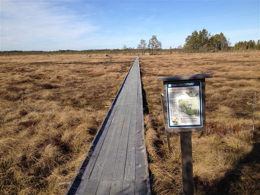
Kärnskogsmossen nature reserve is located in the northern part of Östergötland and borders to Örebro county in the north. The flat forest area in which the reserve is located is called Tyleskogen. The bogs in the reserve are predominantly open or sparsely forested with pine or moor birch. The area is one of southern Sweden's largest bogs.
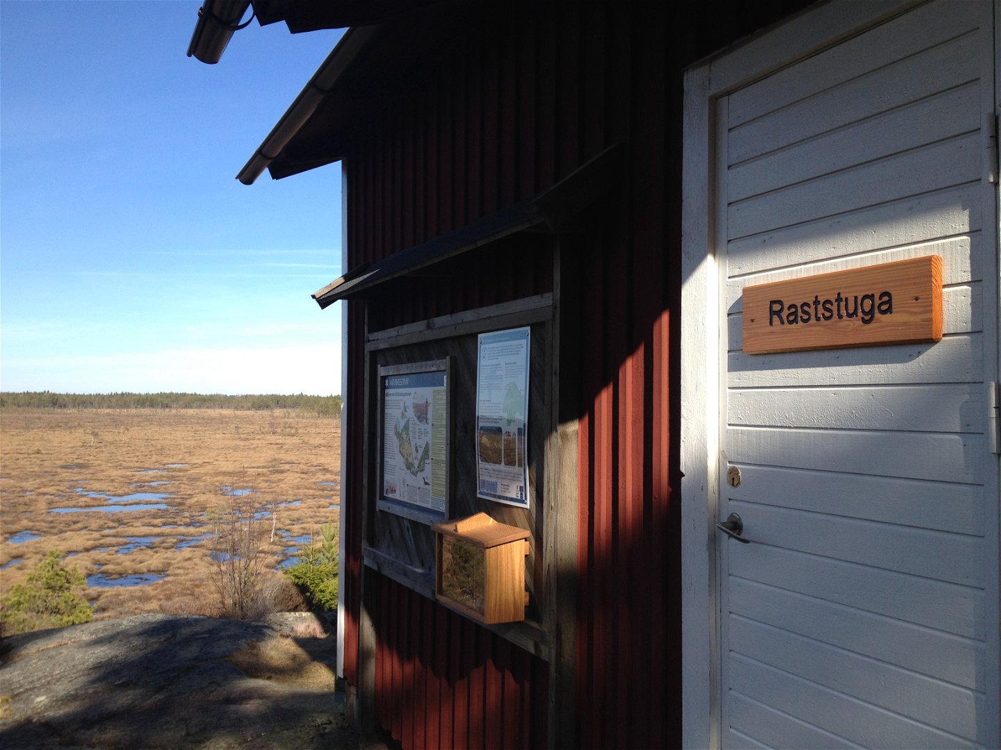
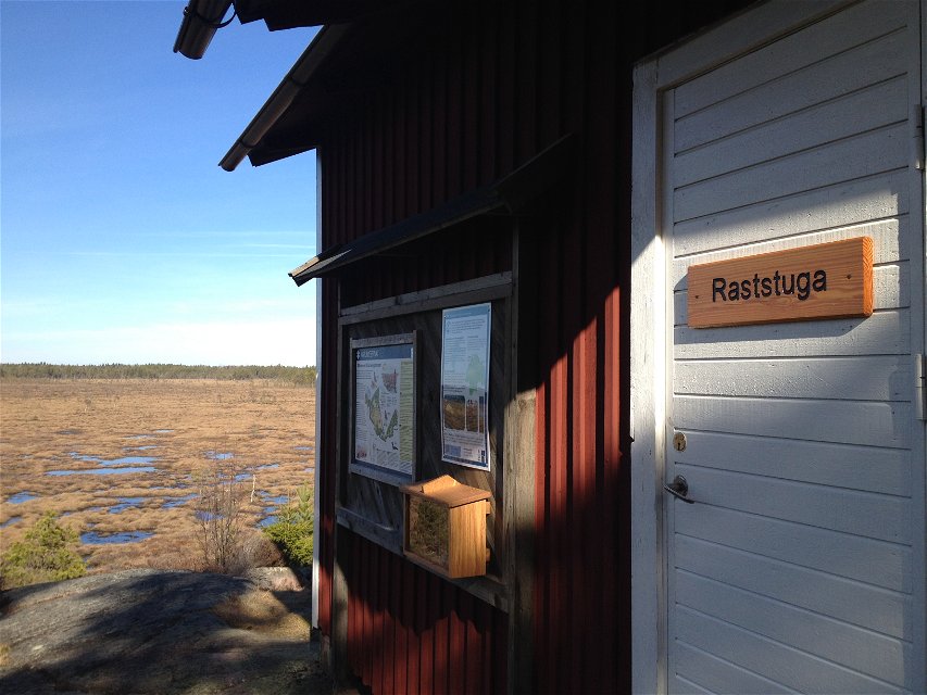
At Kärnskogsmossen, there is a handicap parking, an accessible toilet, and a wheelchair-accessible footbridge that goes out on the bog.
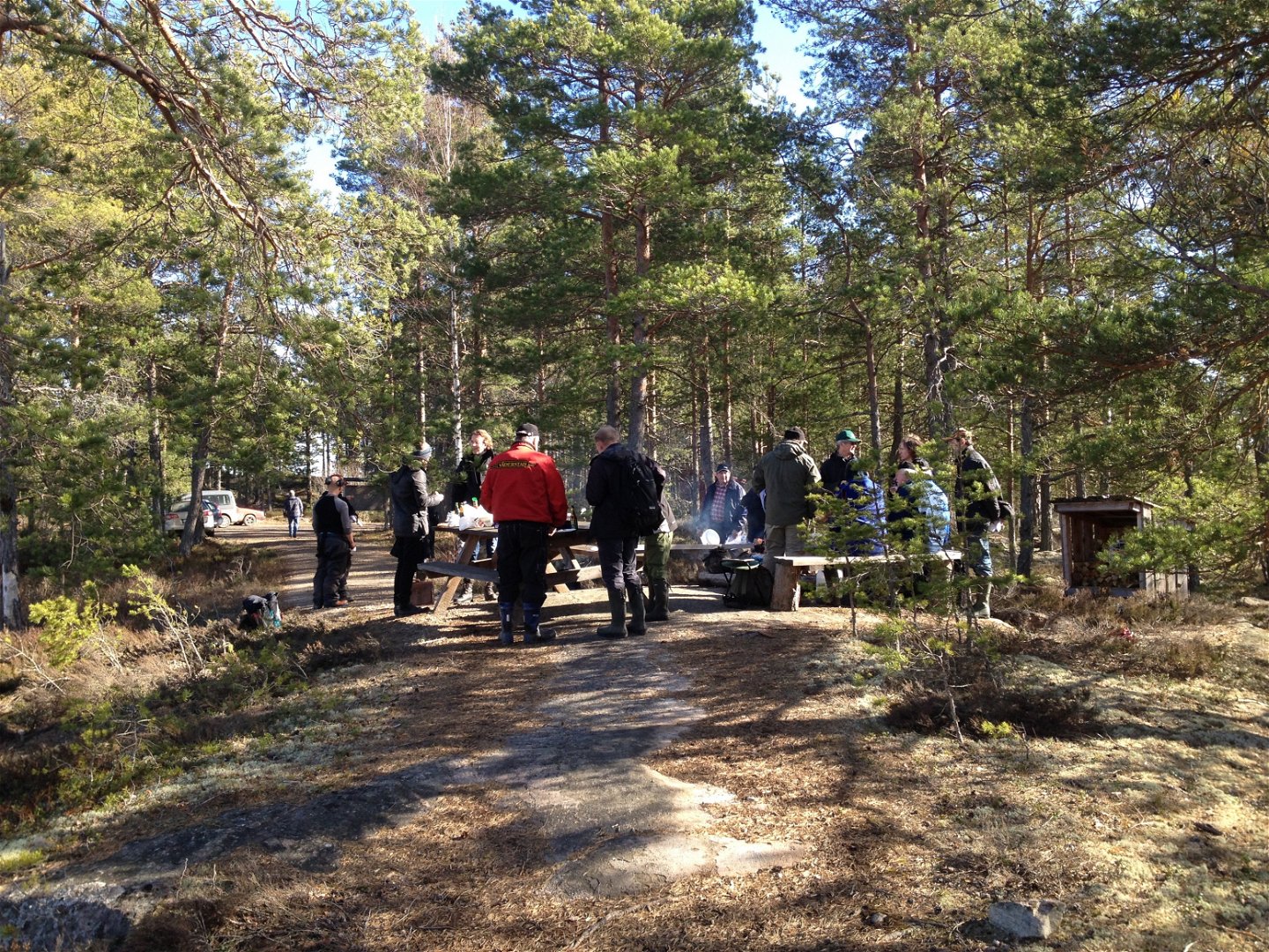
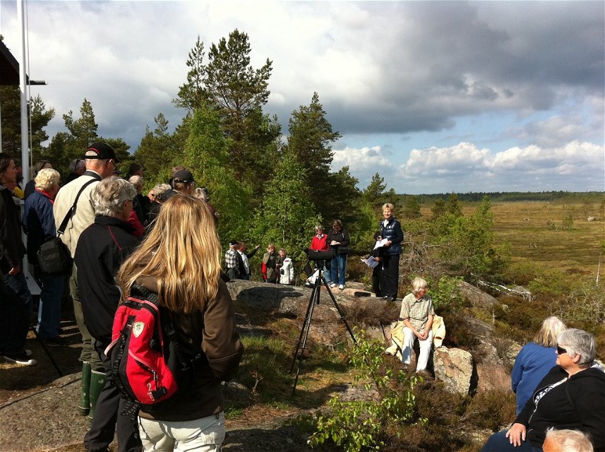
There are two trails in the reserve. The northern trail is 2.8 km and the southern trail is 2.4 km, and they both cirlcle around. From these there is also a 7 kilometer long connecting trail to Skönnarboleden.
The nature reserve is managed by Länsstyrelsen Östergötland.
Nature reserve
 Editor's choice
 Near parking
 Near toilet
 Stroller accessible
 Wheelchair accessible
Storlek: 941 hektar
Skyddsår: 2009
Kommun: Motala
Markägare: Naturvårdsverket och privat
Förvaltare: Länsstyrelsen Östergötland
Vägbeskrivning: Från Tjällmo följ väg 211 ca 9 km norrut, till avtagsväg mot Mickelsbo, följ skyltning mot naturreservat.
*Rules for visitors to Kärnskogsmossen nature reserve:
*This is a brief excerpt from the decision on Kärnskogsmossen nature reserve from 2009.
Kontakta mig om du har frågor om Motalas Naturkarta.
Hilda-Linn Berglund
![]()
Please be aware that some of these texts have been automatically translated.
Ask a question to other Naturkartan users.
I Motala kommun finns det idag 20 naturreservat. Naturreservat bildas av länsstyrelsen eller kommunen för…
