-
Ryding C -

-
Ryding C -

Ryding C -

Ryding C -

Ryding C

Vreta kloster - Borensberg, Birgittaleden, St. Birgitta Ways
Pilgrim Trail
- County: Östergötlands län
- 6644.41 km away from you
Trail details
- Length 22.0 km
- Difficulty Green - simple
Actions
Description
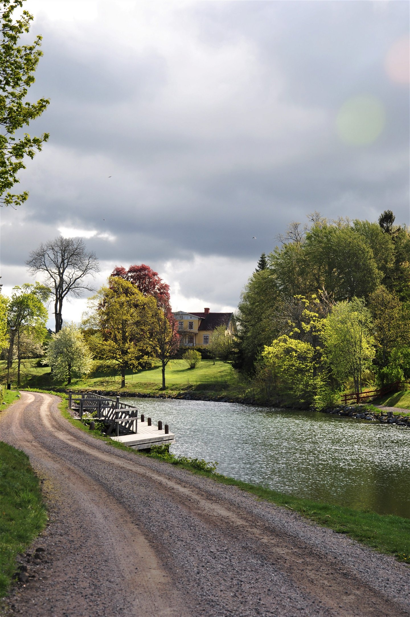
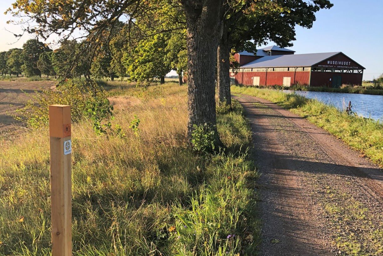
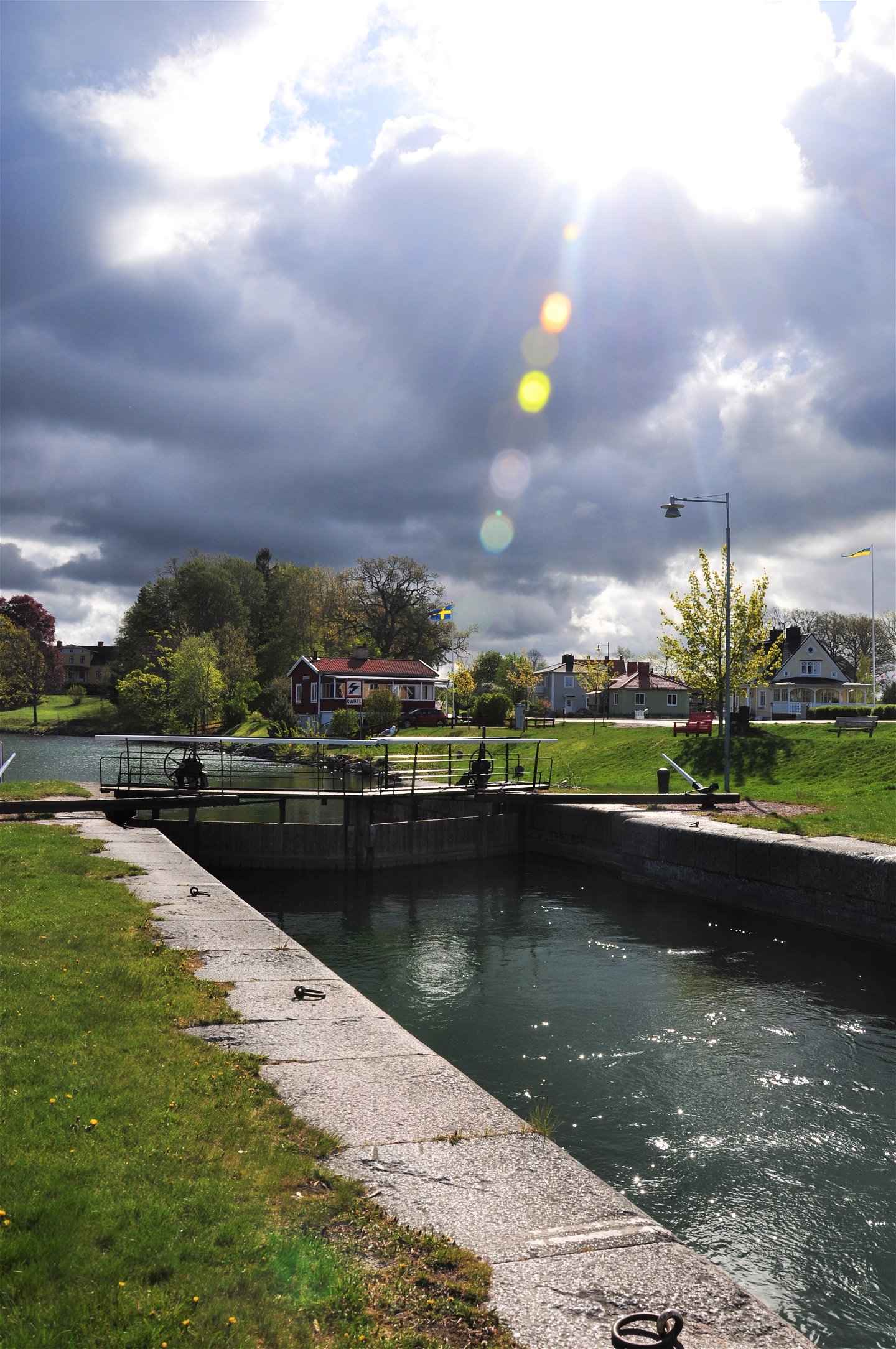
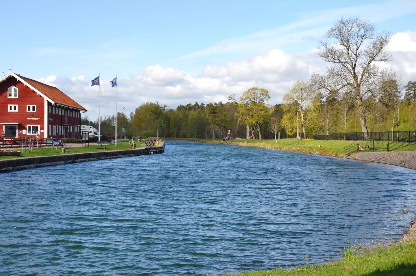
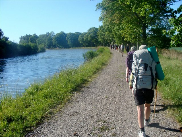
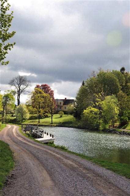
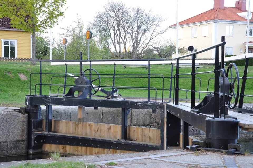
The stage
between Vreta Abbey and Borensberg follows the walking and cycling paths along
the Göta Canal. Along the trail, you can enjoy both beautiful cultural and
natural environments.
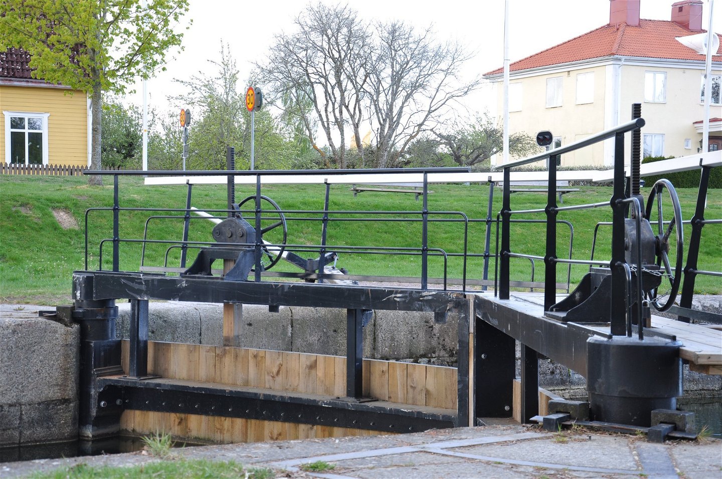
Before you
continue your journey, don't miss the Berg Locks with their high lock
staircases down to Lake Roxen. Along the Göta Canal, you will then walk through
Sweden's longest avenue along the old towpath to Borensberg. Almost there,
you'll find a nice hostel that gladly welcomes pilgrims. It's also a great spot
for swimming. There are many interesting sights with informational signs, and
you will pass several lovely rest spots. In the summer, there are eateries and
accommodations along the canal. In Berg, Ljungsbro, and Borensberg, there are
grocery stores, cafés, restaurants, and accommodations. (aug 2024)
Activities And Facilities
-
 Hiking
-
Pilgrim Trail
Accessibility
-
 Near parking
-
 Near Public Transport
-
 Stroller accessible
Directions
Birgittaleden can be reached by public transport in many places. Contact Östgötatrafiken at www.ostgotatrafiken.se or 0771-21 10 10.
Downloads
Contact
Address
Har du frågor kring leddragningar eller intressepunkter på St. Birgitta Ways kartguide. Kontakta då pilgrimsutvecklare Emanuel Eriksson
Email address
Linköpings stift, Svenska kyrkan
Organization logotype
![]()
Please be aware that some of these texts have been automatically translated.
Questions & Answers
Ask a question to other Naturkartan users.

