|Translated by Google translation| [Motala] Torpa Sand, Medevi
Circular trail
- County: Östergötlands län
- 6717.96 km away from you
Trail details
- Length 5.0 km
- Difficulty Green - simple
Actions
Description
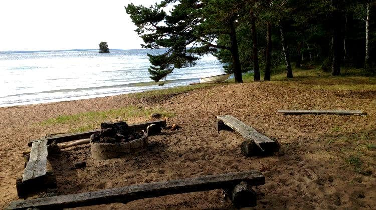
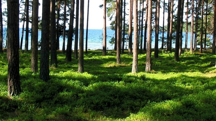
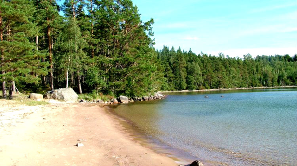
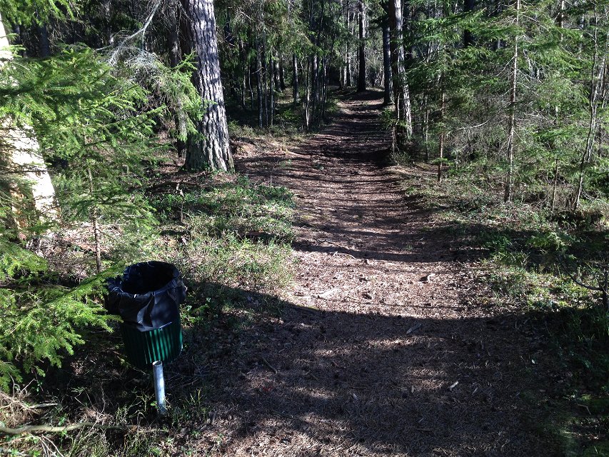
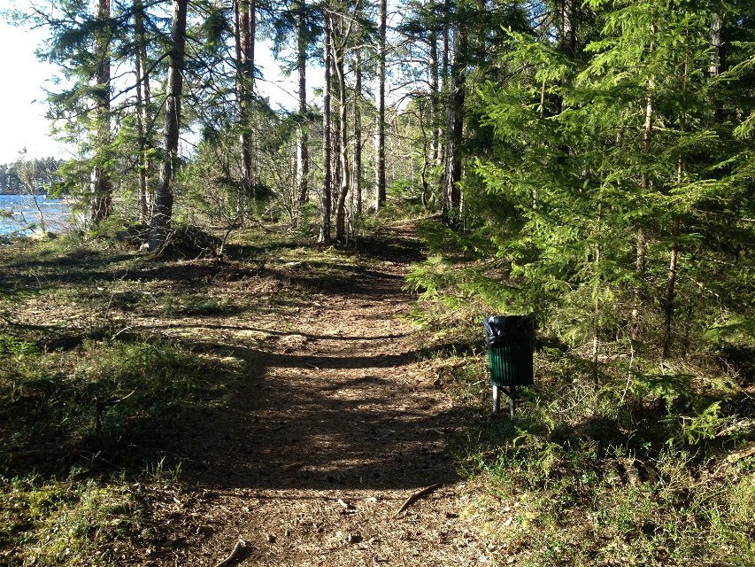
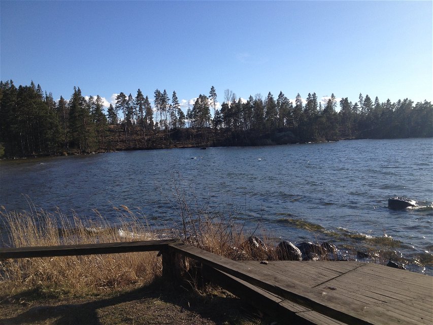
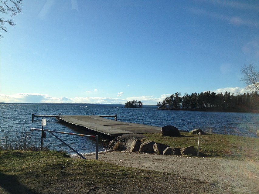
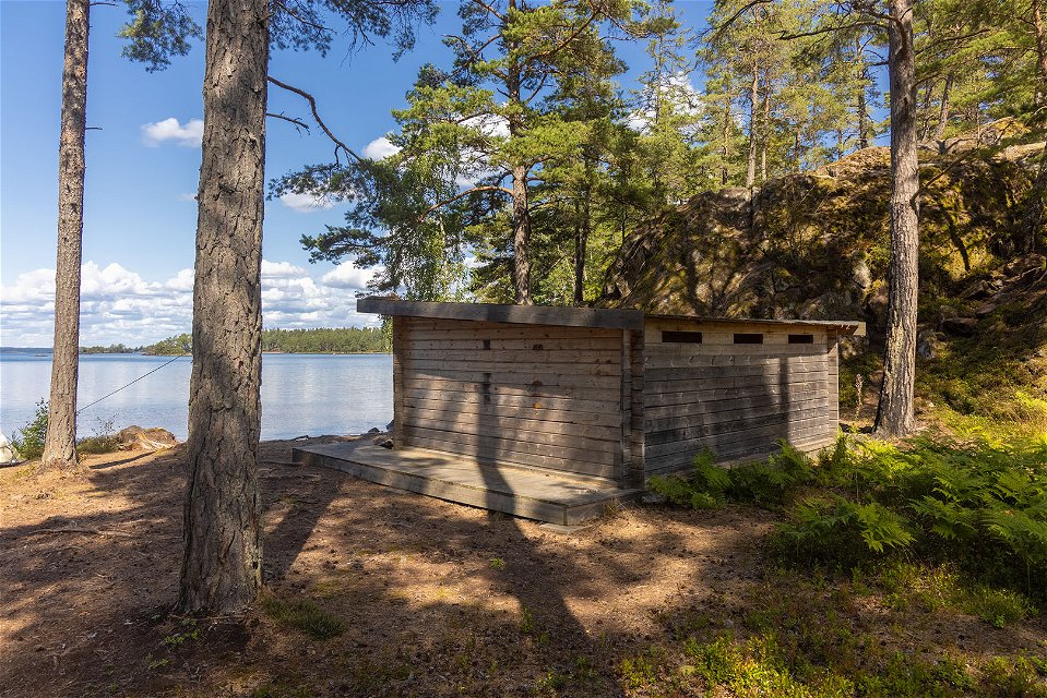
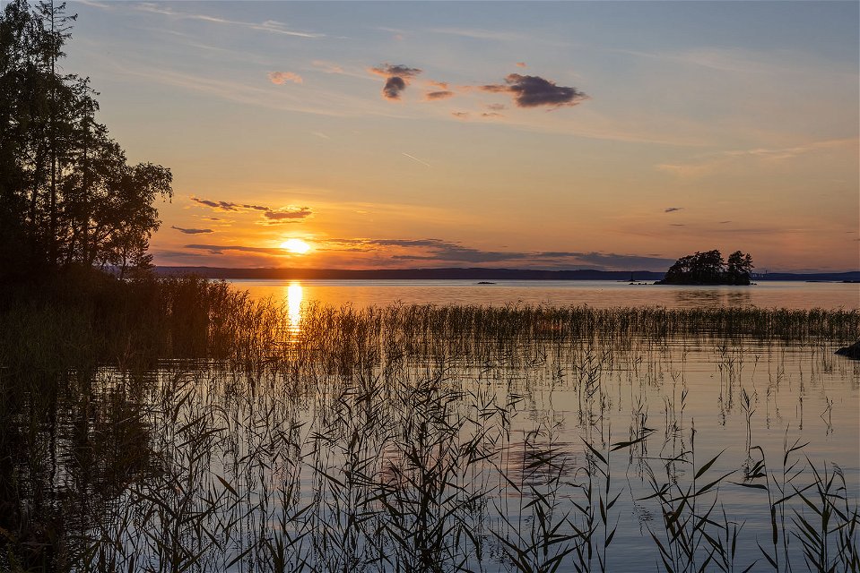
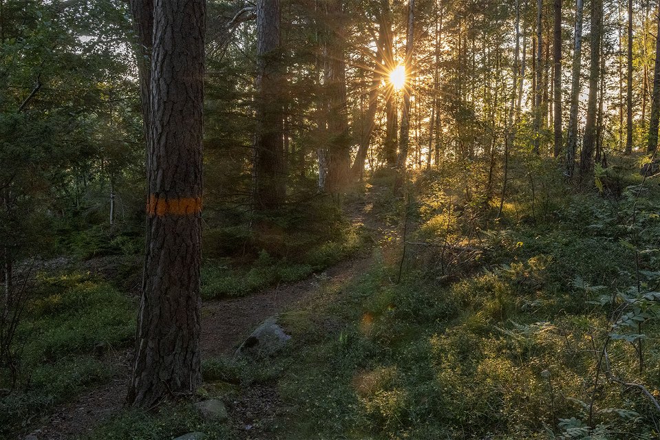
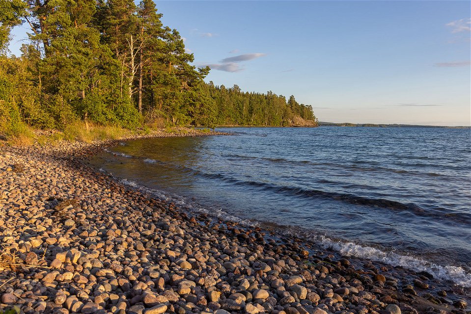
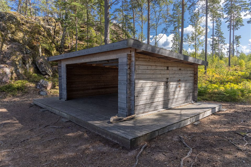
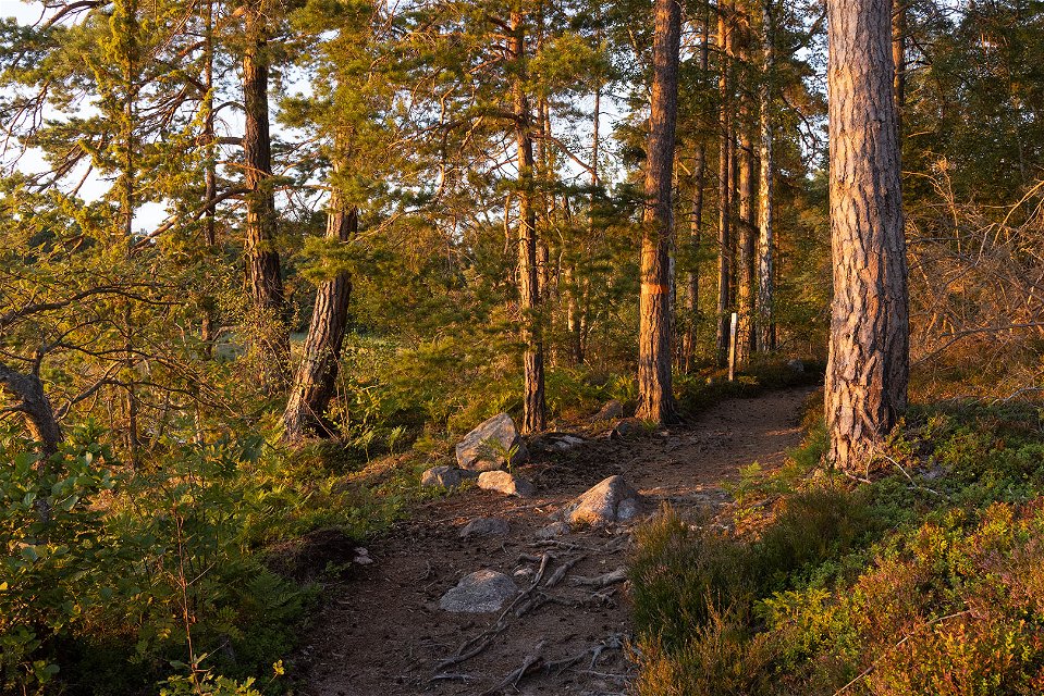
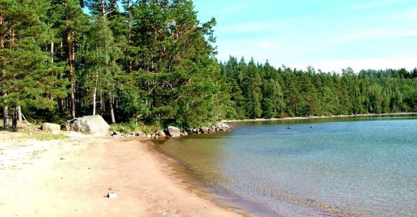
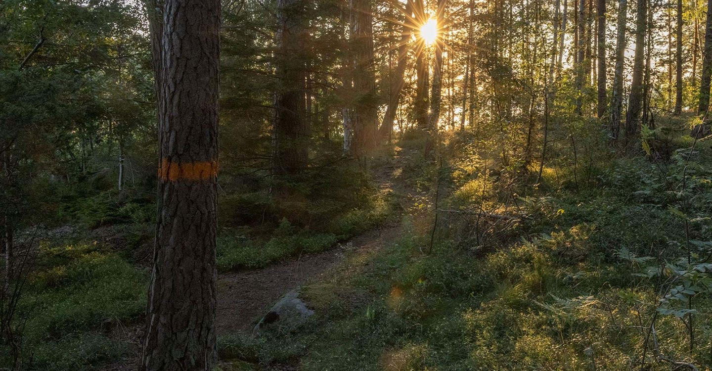
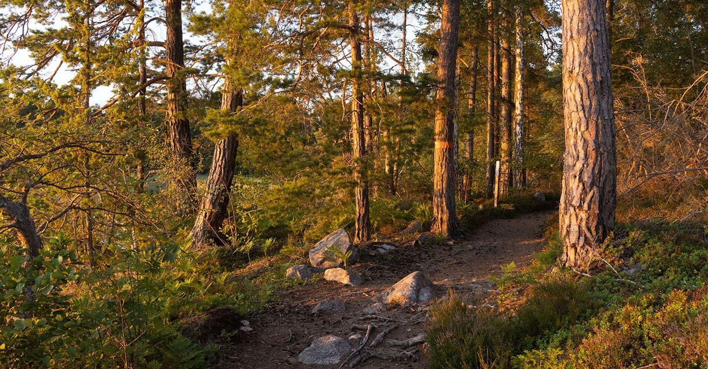
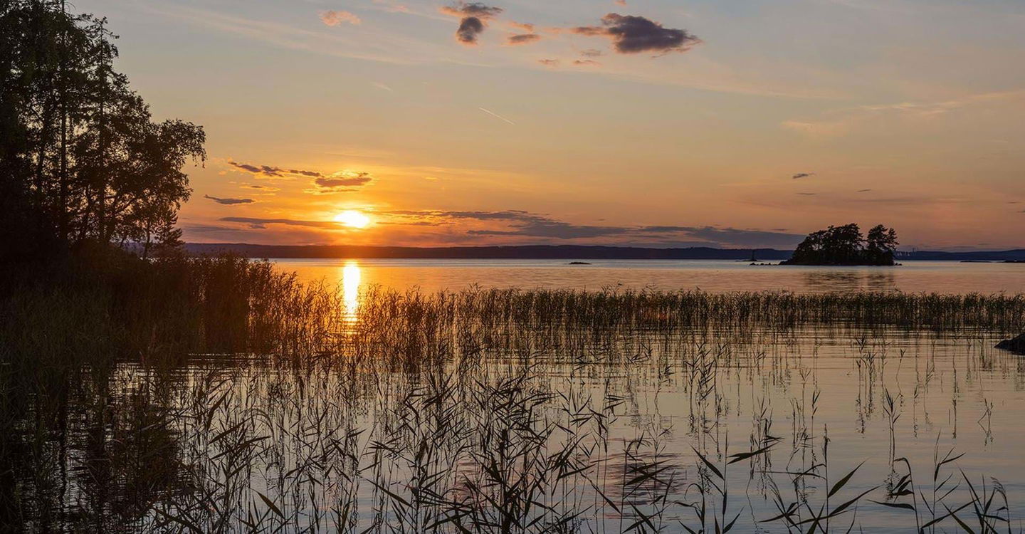
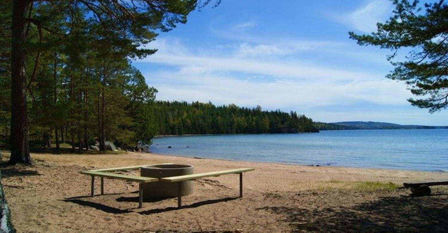
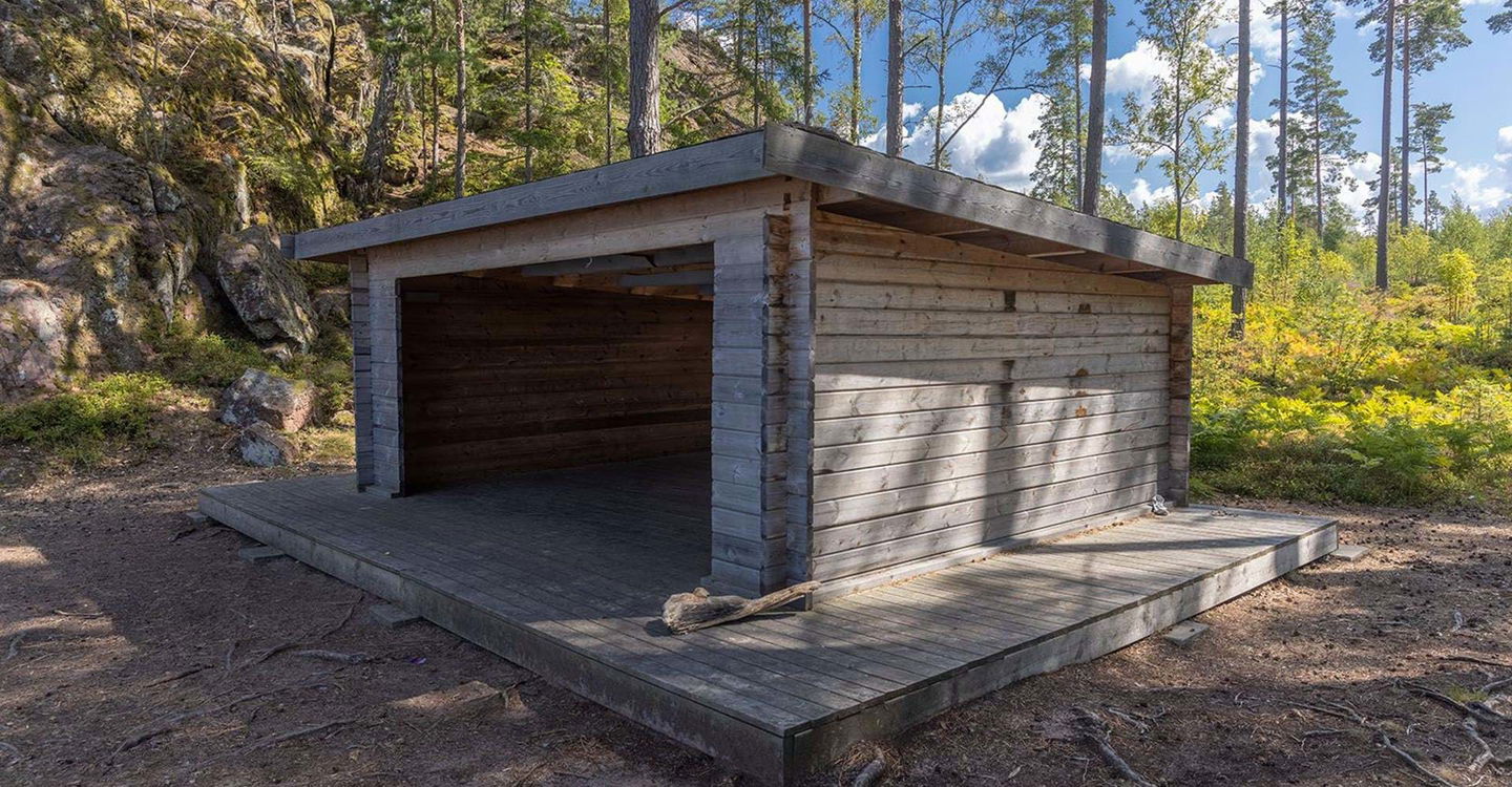
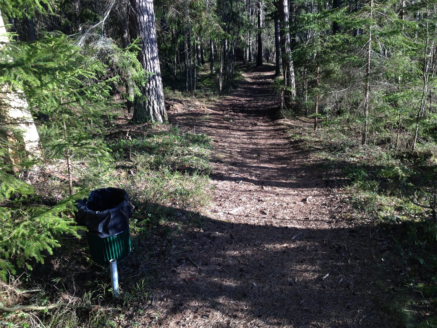
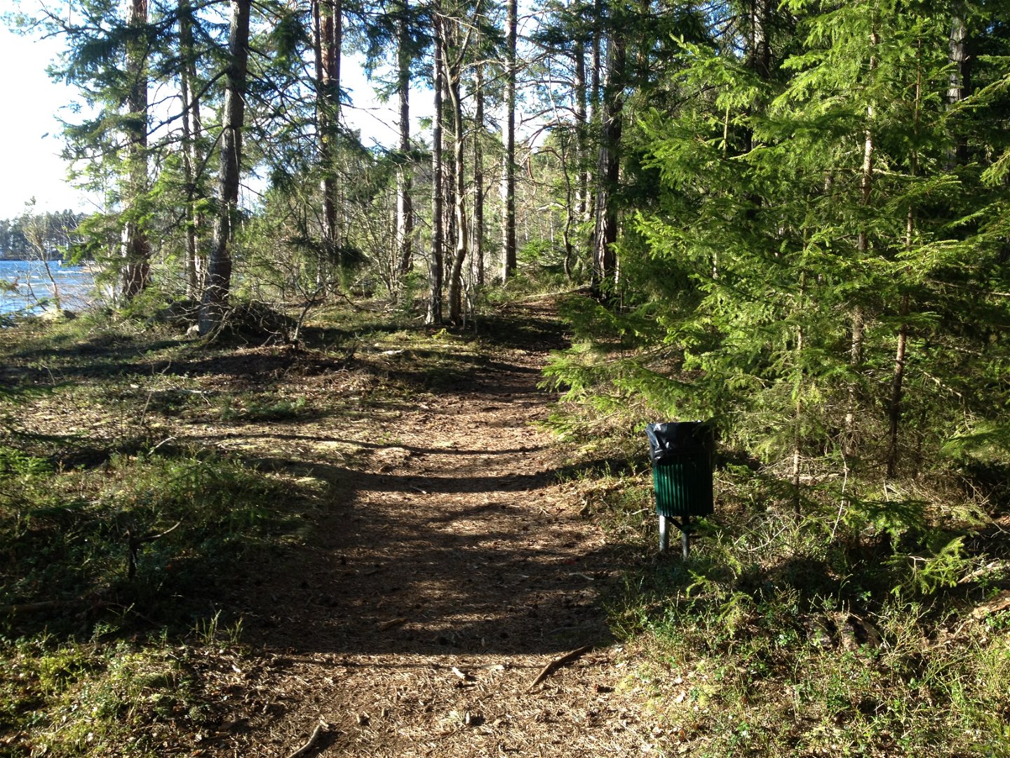
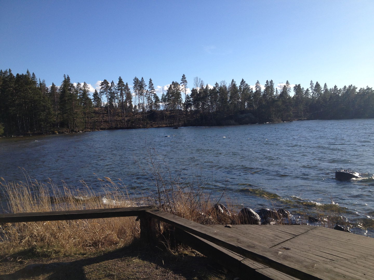
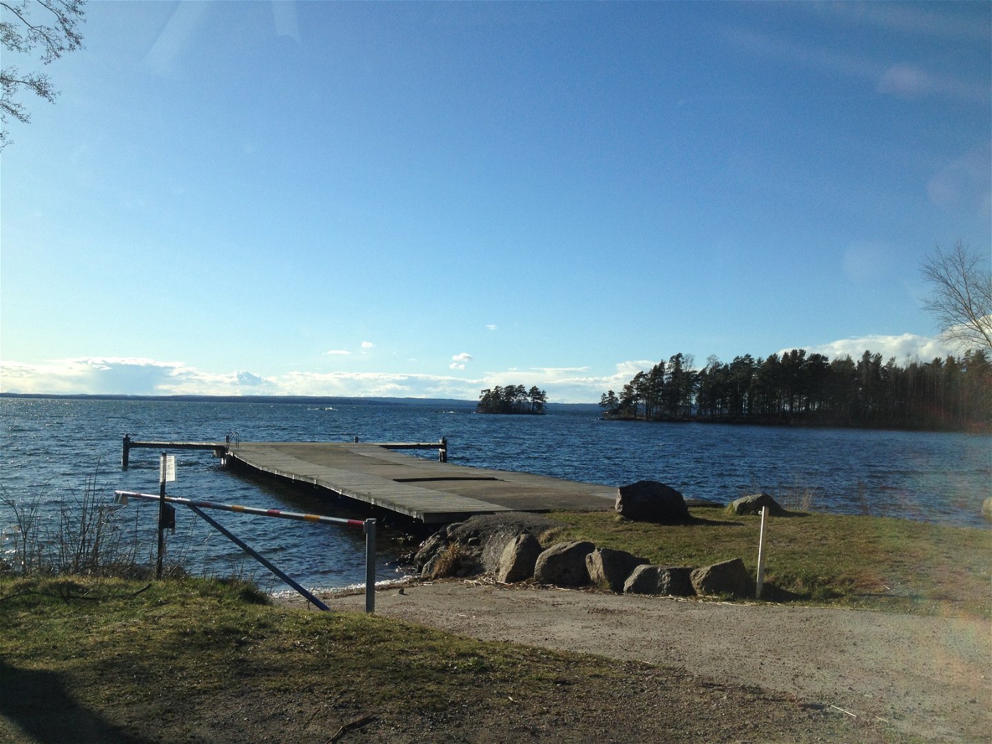
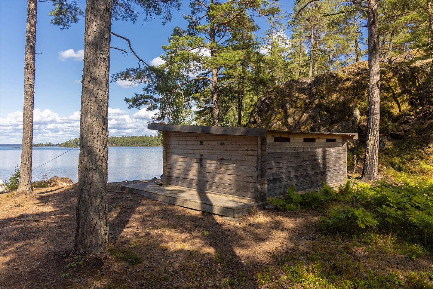
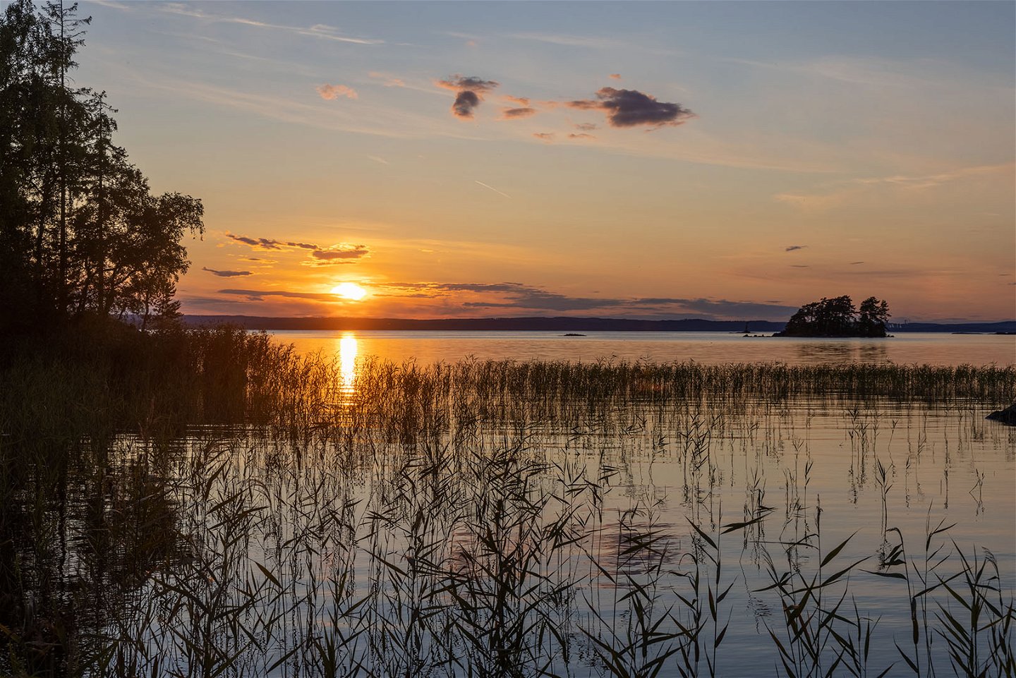
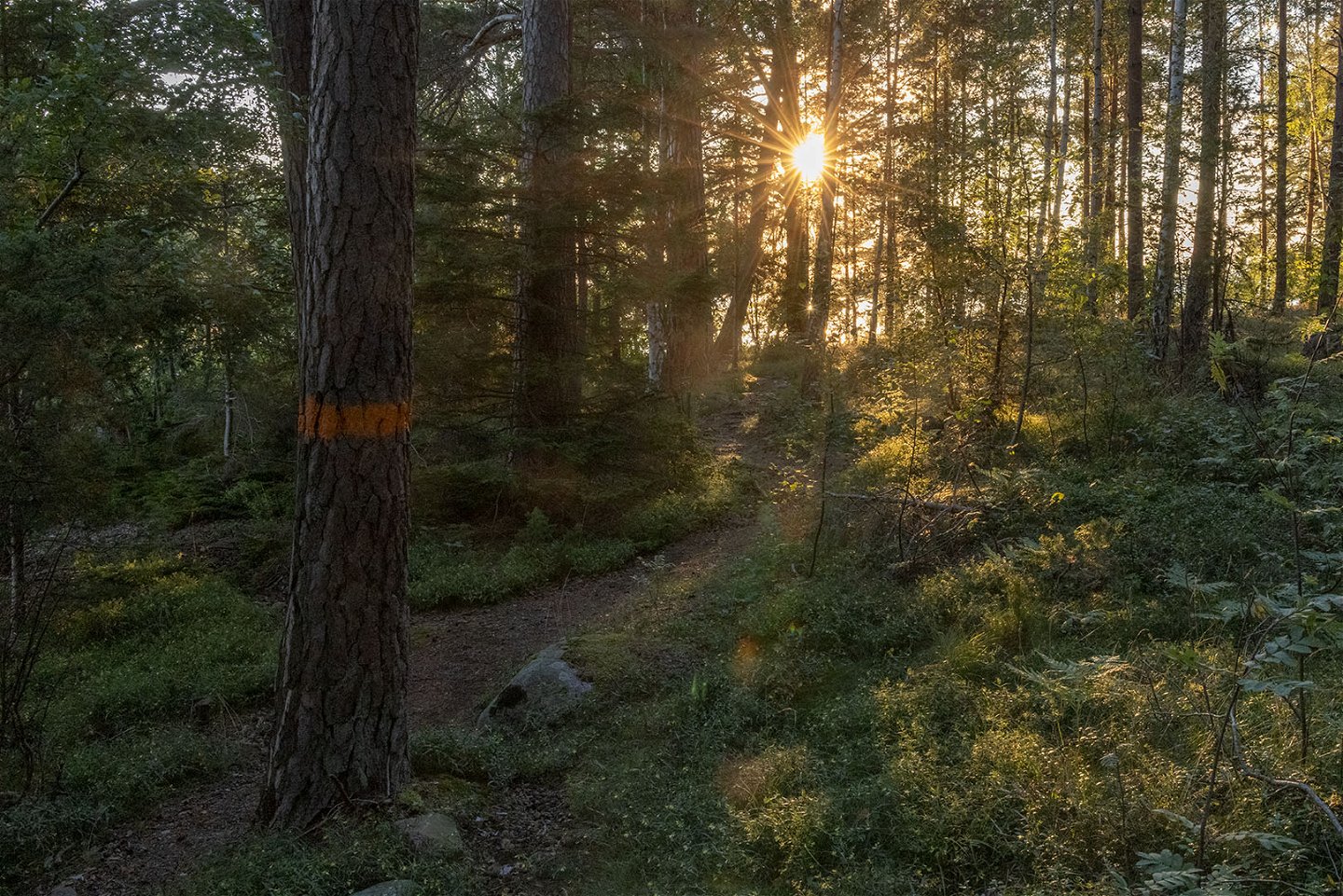
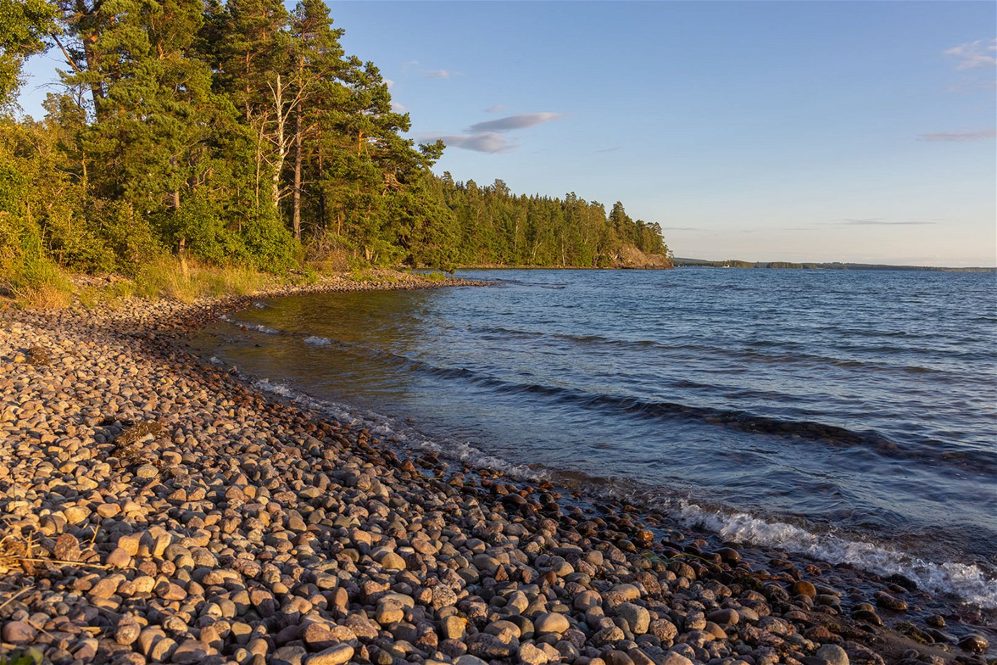
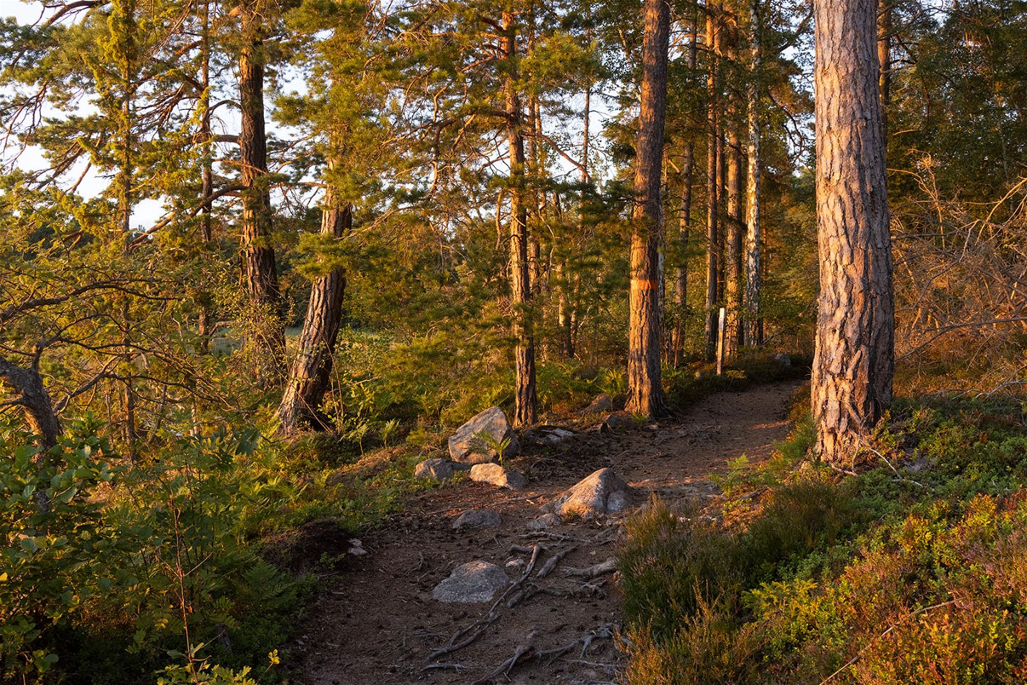
This is a 5 km long trail of Östgötaleden along the shores of Lake Vättern. You walk through flat pine forest with full-covering blueberry rice. The path is quite narrow and can be muddy and soft at times when it has rained a lot or at high water levels. Torpa Sand is located in a bay and on the right side of the bay you can see the Medevi Islands which lie like a string of pearls one after the other. All but one of the islands are uninhabited. Torpa Sand is a sandy beach and popular swimming area just over two kilometers from the parking lot at Medevi pier. To the bathing place you walk along a forest path which also continues around the headland. At Torpa Sand there are toilets and a firesite.
Activities And Facilities
-
Hiking
-
Circular trail
Accessibility
-
Near parking
-
Near Public Transport
-
Near toilet
Downloads
Contact
Address
Välkommen till Östgötaleden, 150 mils vandring i Östergötland!
Email address
Kontakt Östgötaleden
Organization logotype

Questions & Answers
Ask a question to other Naturkartan users.

