-

-

-

-

-

-

-

-

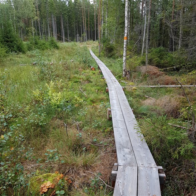
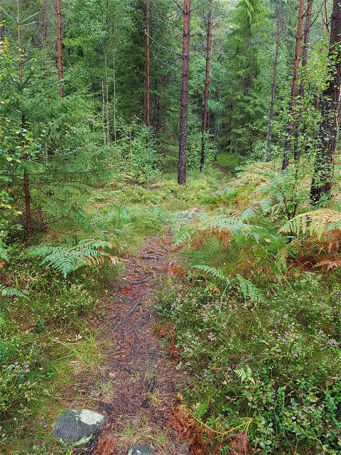
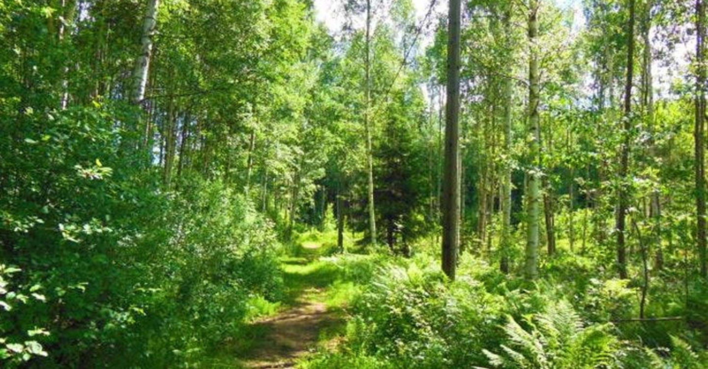
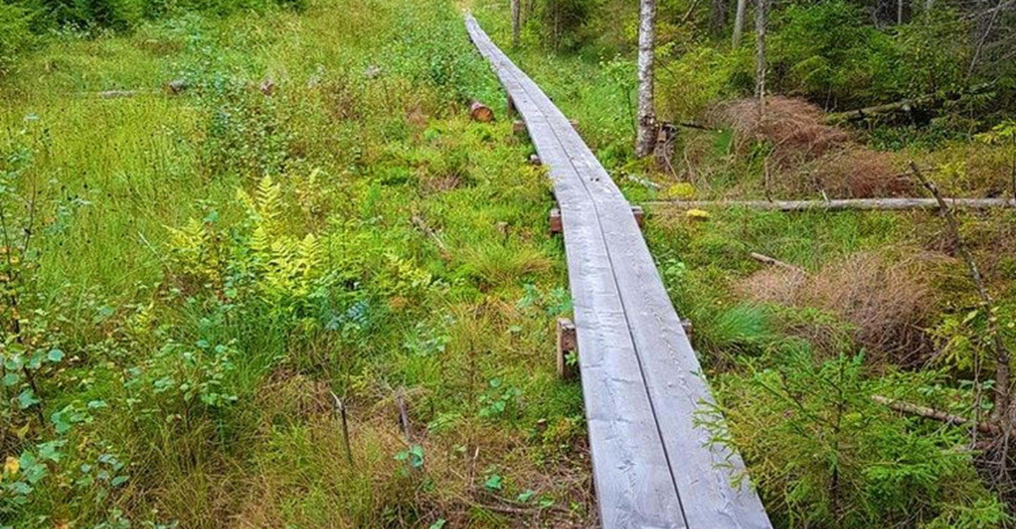
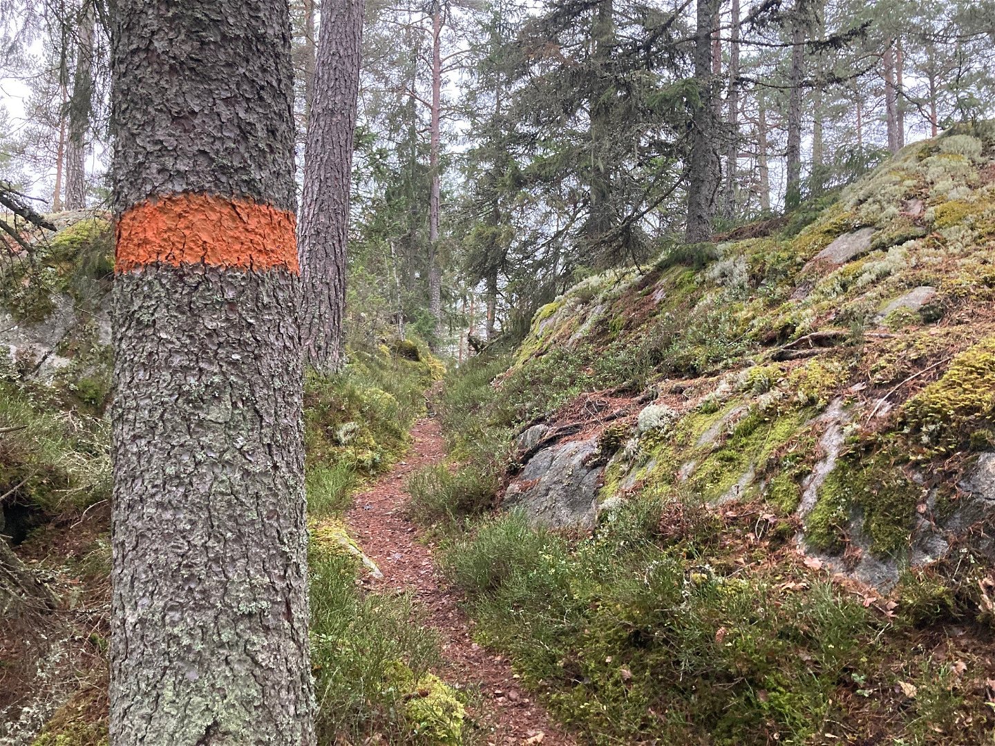
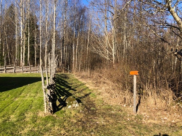
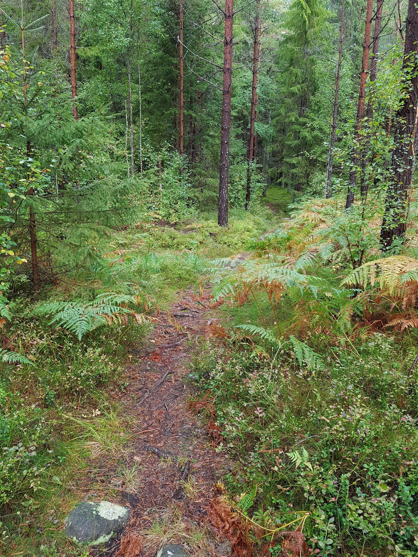
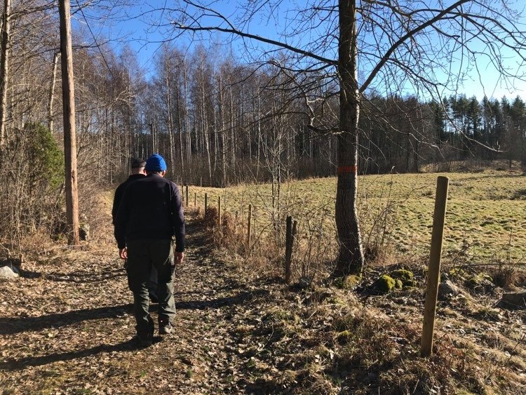
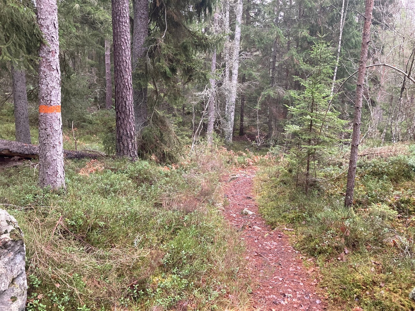
Leden i den nordöstra delen genom vacker barrskog -

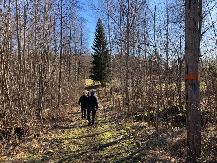
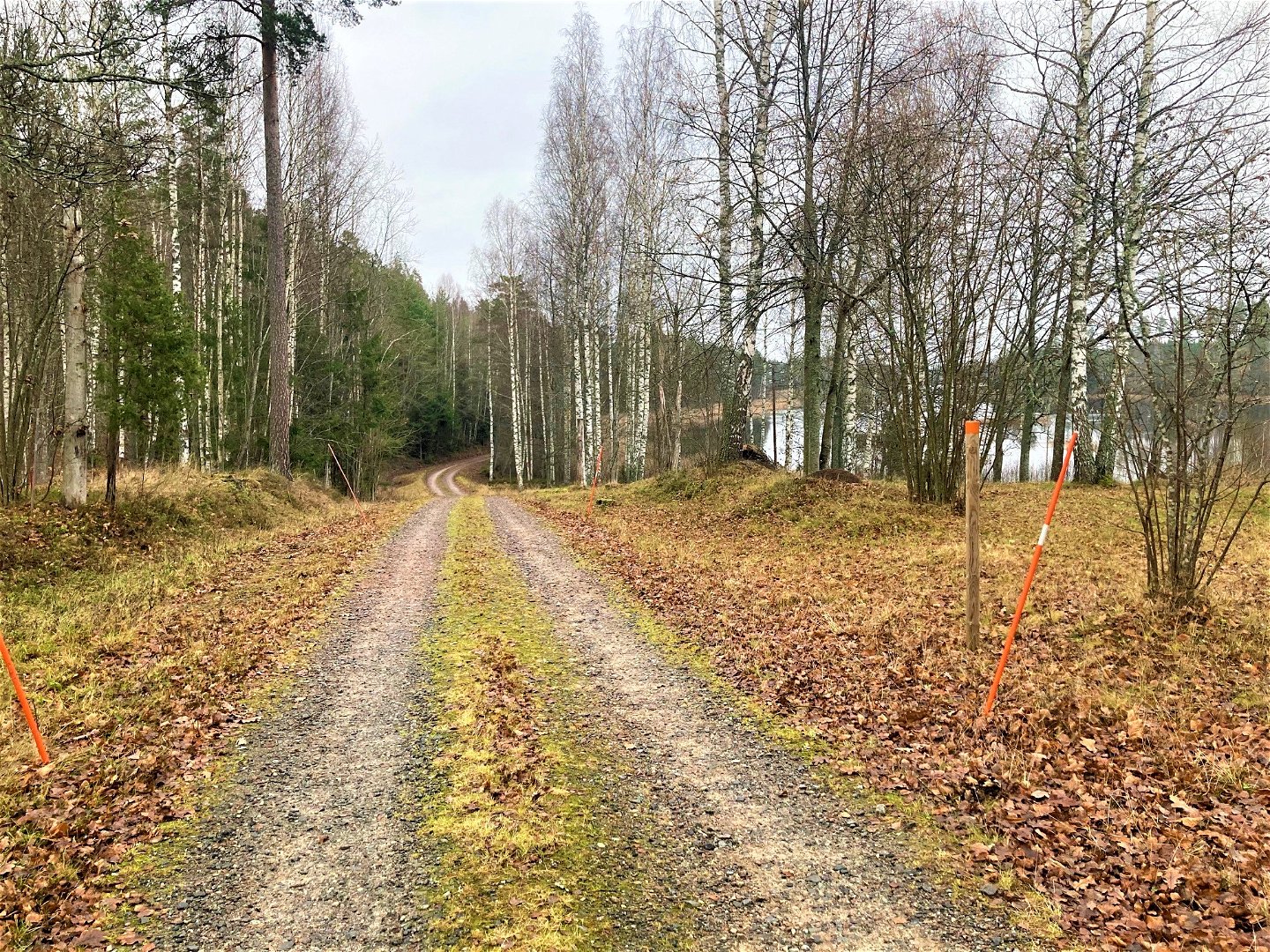
Leden österut från Hagstugan -
-
Leden i den nordöstra delen genom vacker barrskog -

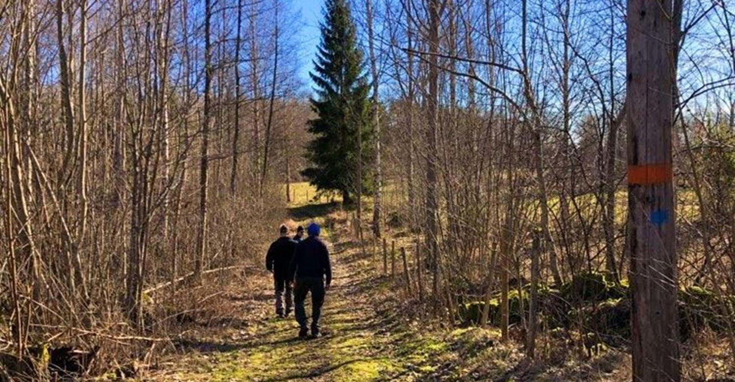
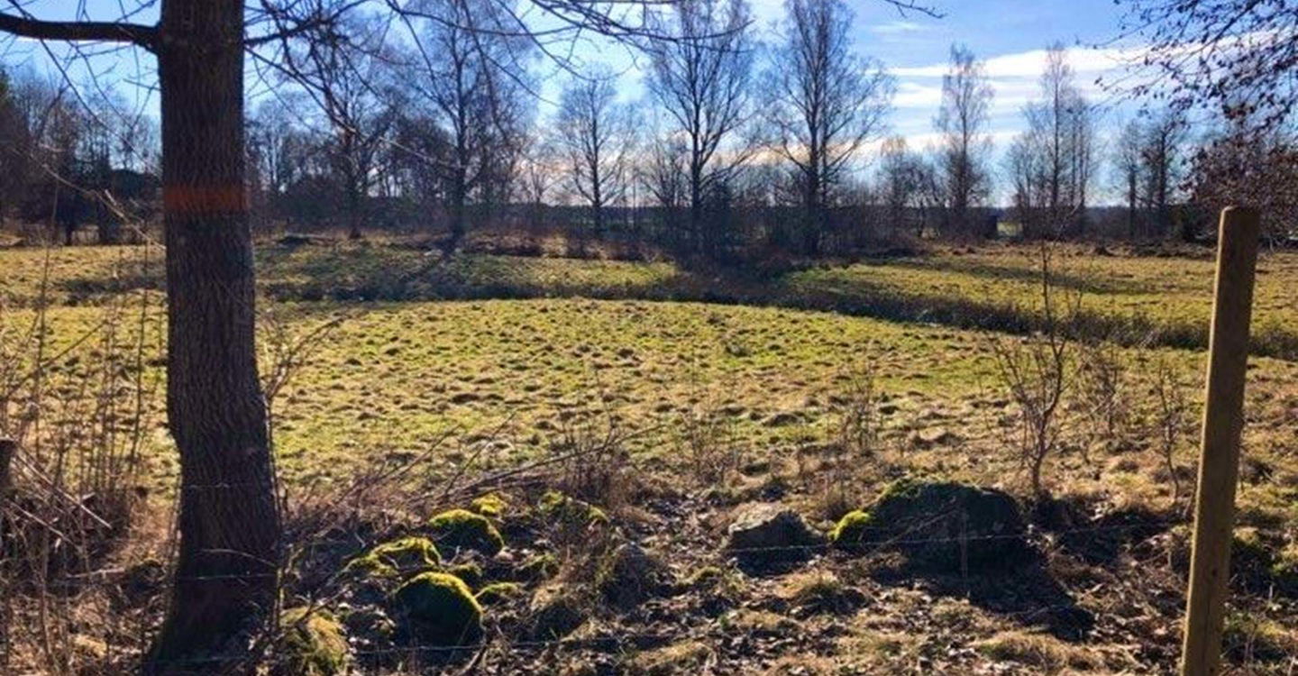
Leden västerut från Hagstugan -
-

-
-
-

-

-
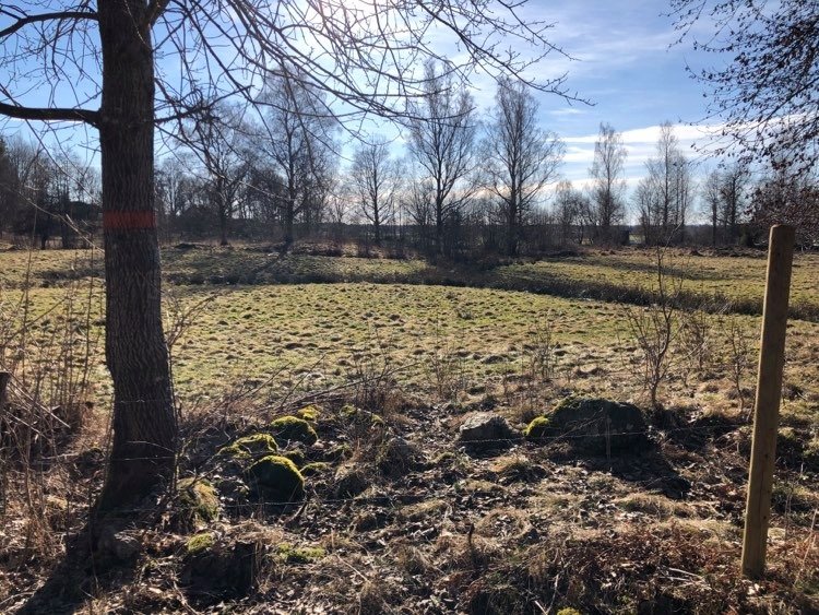
Parkering vid Hagstugan -
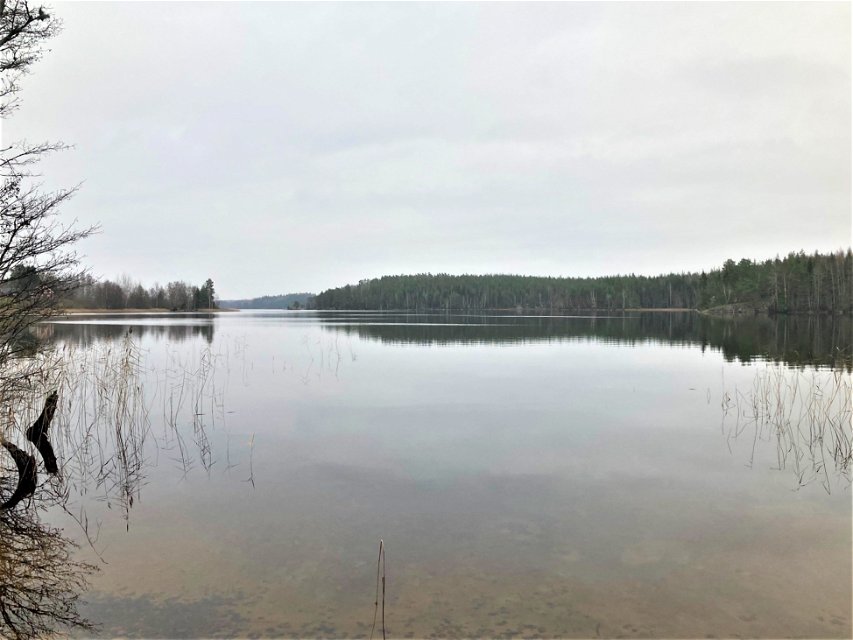
Badplatsen vid Annsjön nära Perkils Kättil -
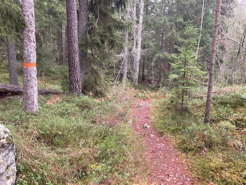
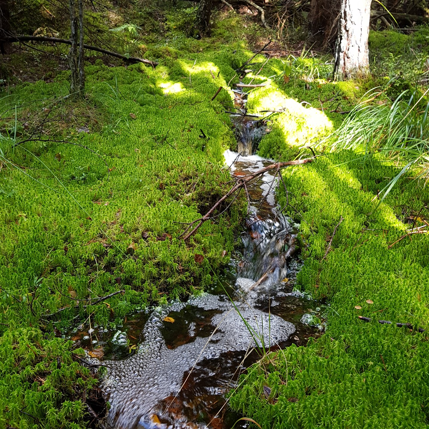
Leden i den nordöstra delen genom vacker barrskog -
Leden vid Sandviken med utsikt över Annsjön -
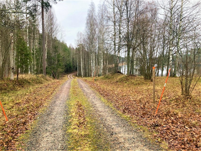
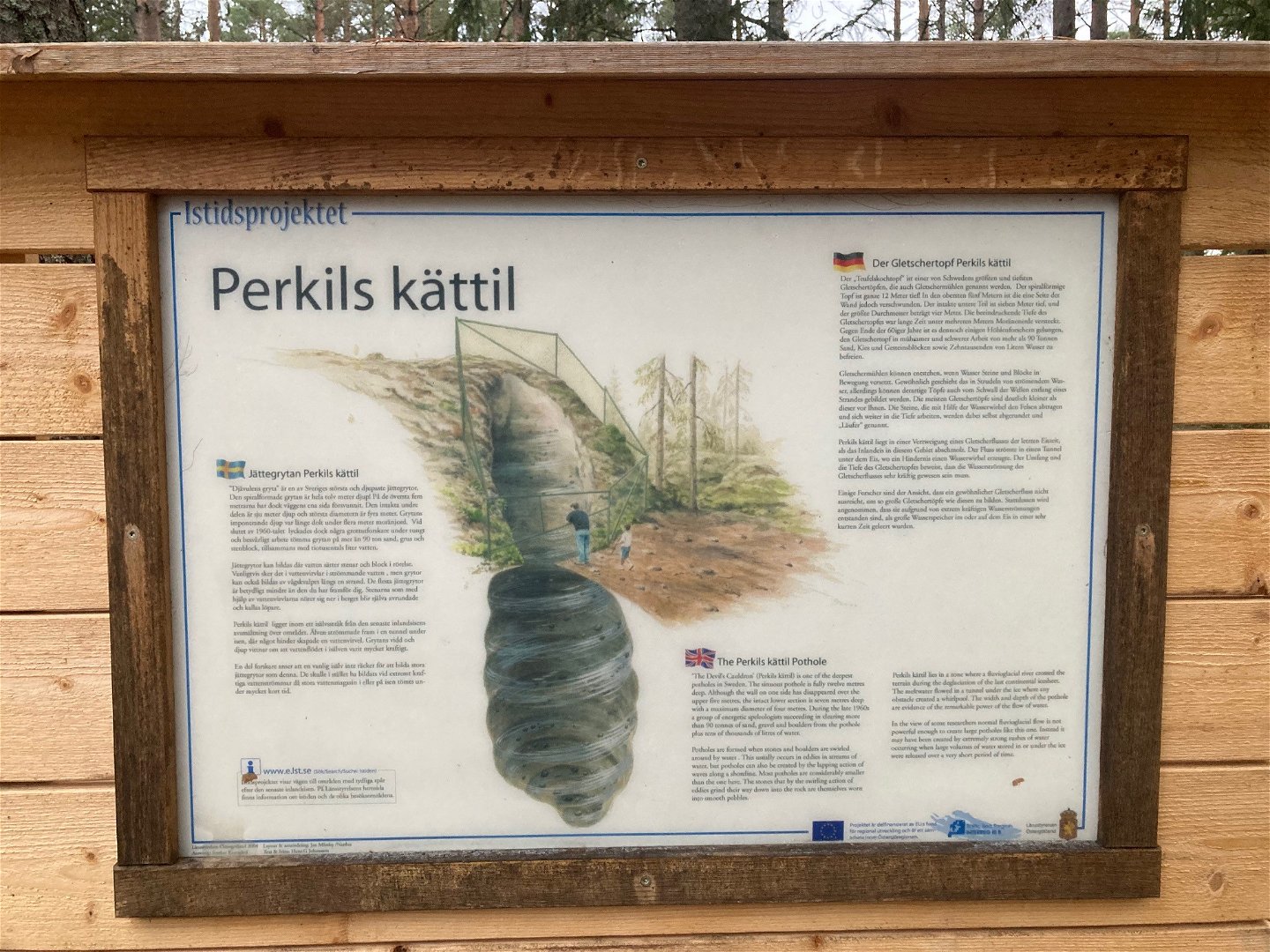
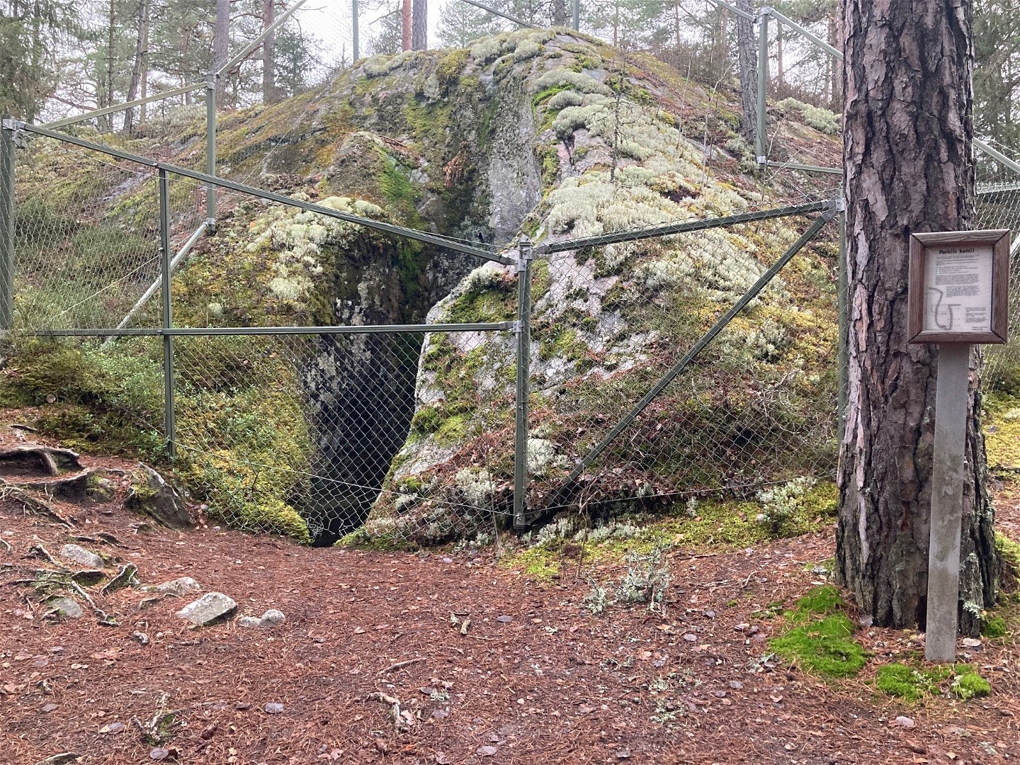
Leden passerar Perkils kättil i nordost -

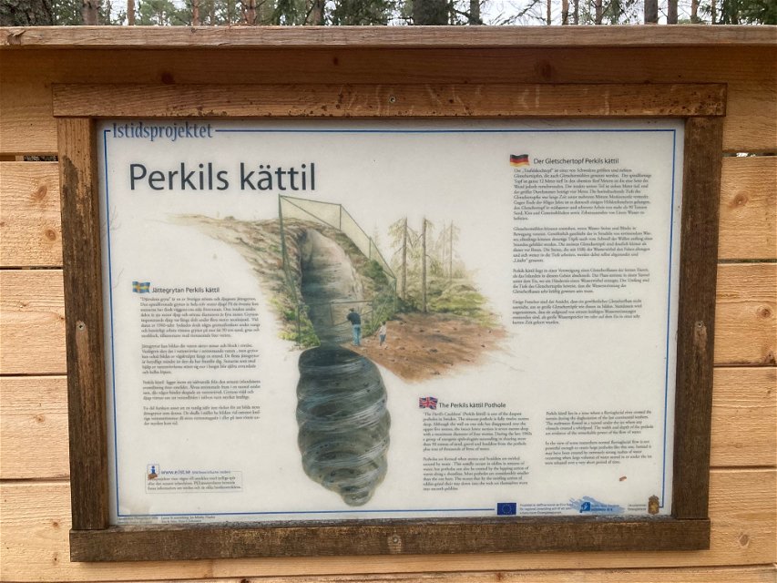
Perkils Kättil -


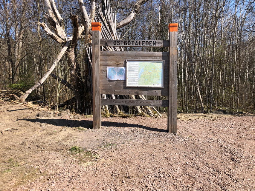
|Translated by Google translation| [Motala] Rundslinga in Tjällmoskogarna
Circular trail
- County: Östergötlands län
- 6668.08 km away from you
Trail details
- Length 20.5 km
- Difficulty Blue - medium
Actions
Description
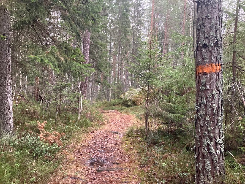
This trail goes through Tjällmo's coniferous forests on paths and exercise tracks. It goes past Hagstugan where there is parking and a bench table. The trail is about 20 km long. Along the western trail you walk on mountains and through marshes. Towards Lake Tikhytte you walk on a hill that gives a good view of the lake as you get closer and closer. Furthermore, you walk on footbridges through bogs with late-grown pines. In the north you walk a bit on a country road and later arrive at Skönnarboleden. The trail is very close to Tjällmo where you can buy and eat food and spend the night. A good place to start.
Activities And Facilities
-
 Hiking
-
Circular trail
Accessibility
-
 Near parking
Directions
Kör genom Tjällmo och sväng mot Godegård cirka två kilometer norr om samhället. Det är skyltat elljuspår. Fortsätt ytterligare ett par kilometer. Sväng där det är skylt som visar till Hagstugan.
Downloads
Contact
Address
Välkommen till Östgötaleden, 150 mils vandring i Östergötland!
Email address
Kontakt Östgötaleden
Organization logotype
![]()
Questions & Answers
Ask a question to other Naturkartan users.
