

Hiking trail on Håleberget
Hiking
- County: Östergötlands län
- 6726.12 km away from you
Trail details
- Length 2.2 km
Actions
Description
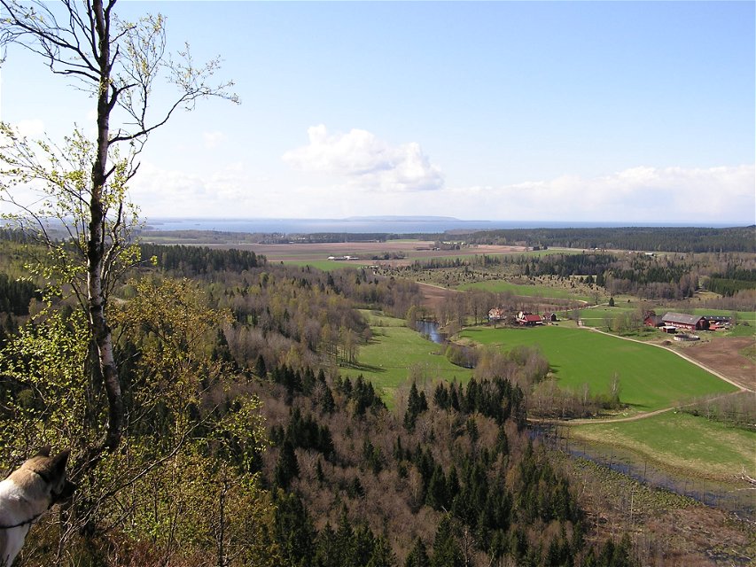
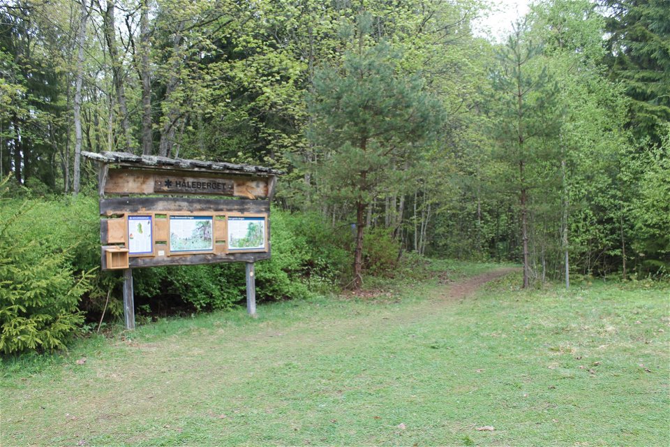
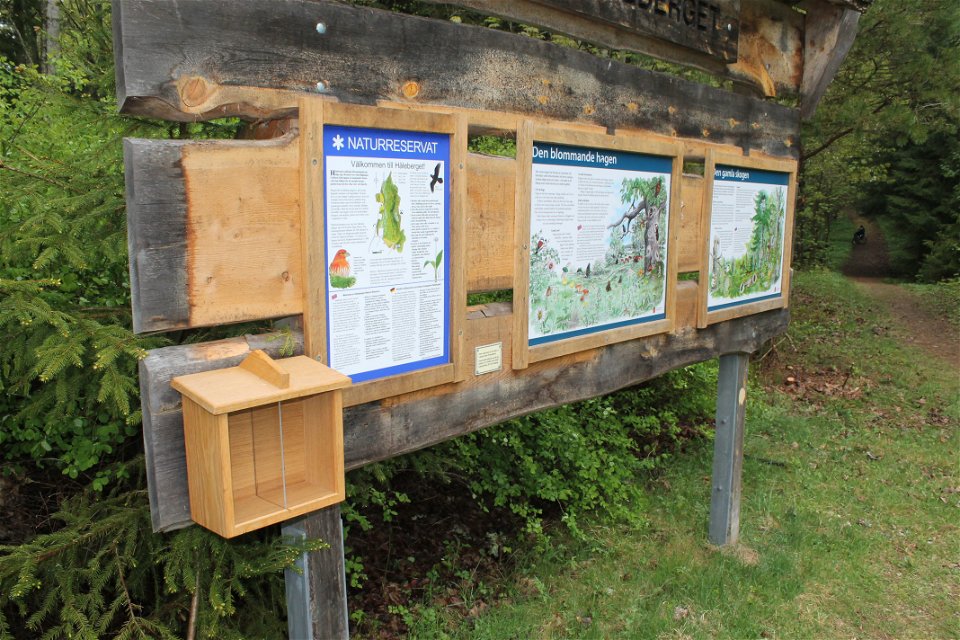
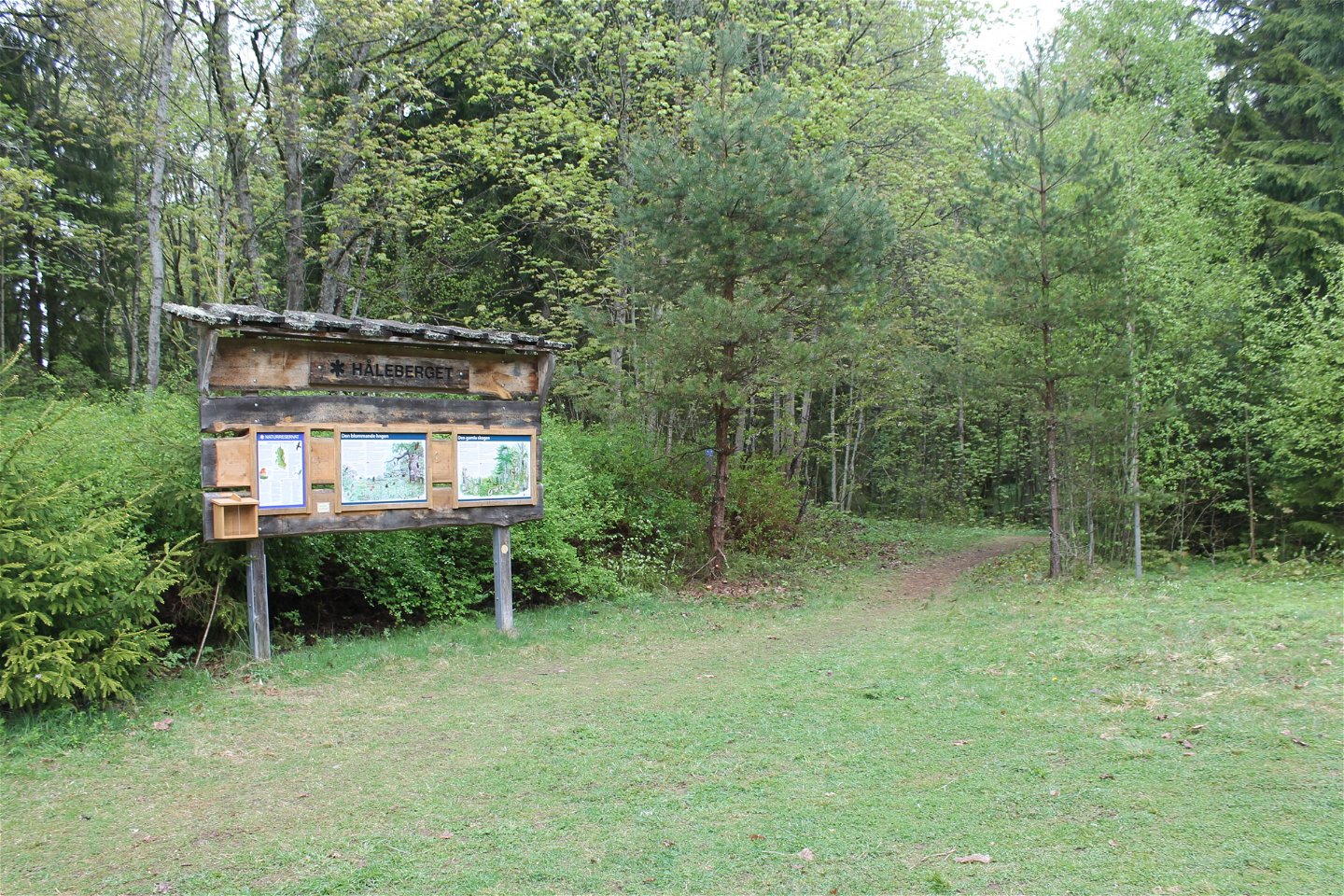
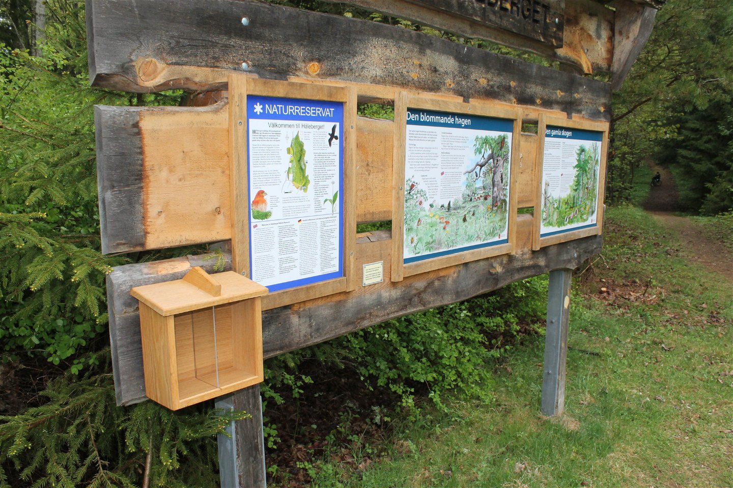
The hiking trails on Håleberget are partly steep and can be slippery in rainy weather. There are two hiking trails to choose from; the yellow marked which is 700 m long and the orange marked which is 2.1 km long. Once at the top, however, you are rewarded with magnificent views of Lake Vättern and Omberg.
The nature reserve is managed by Länsstyrelsen Östergötland.
Activities And Facilities
-
Hiking
-
 Circular trail
Accessibility
-
 Near parking
Directions
Kör Kolmetorpsvägen och sväng efter några kilometer av mot Säter och Håleberget.
Contact
Address
Kontakta mig om du har frågor om Motalas Naturkarta.
Email address
Hilda-Linn Berglund
Organization logotype
![]()
Questions & Answers
Ask a question to other Naturkartan users.
