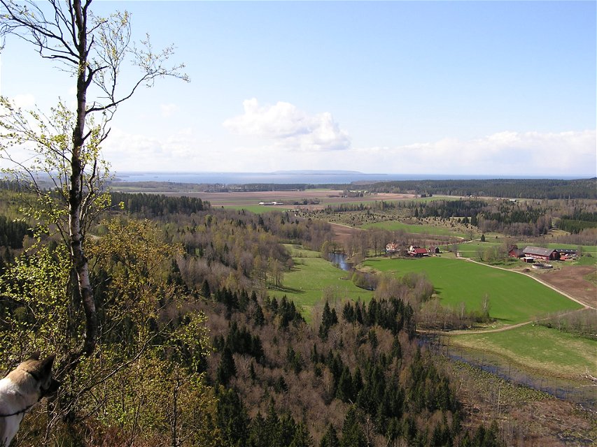
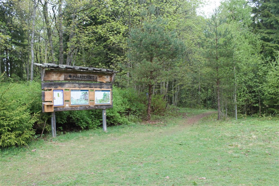
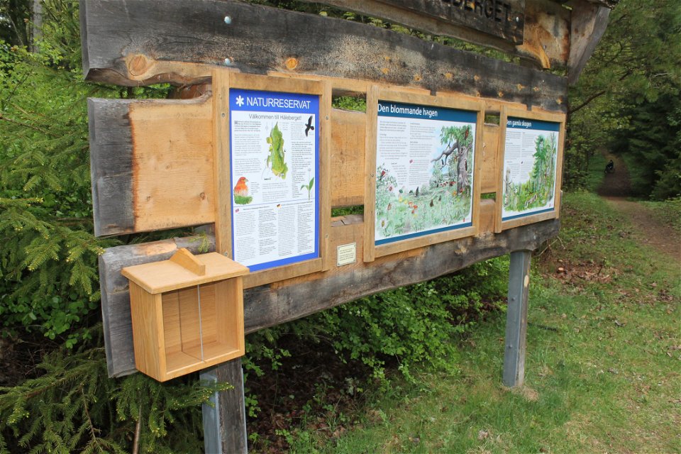

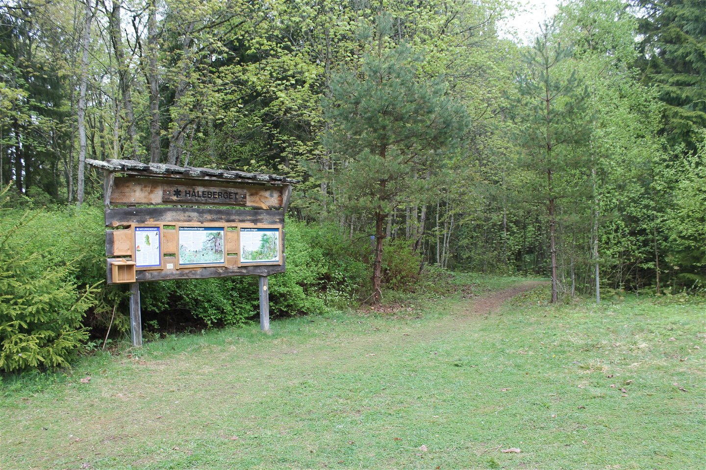
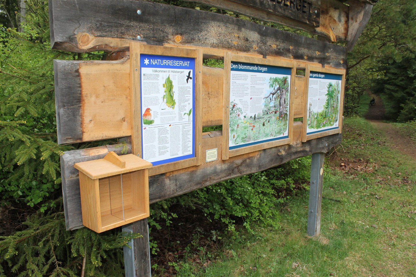

Vandringsled på Håleberget
Wędrówki piesze
- Województwo: Östergötlands län
- 6648.16 km od Ciebie
Szczegóły dotyczące szlaku
- Długość 2.2 km
Akcje
Opis
The hiking trails on Håleberget are partly steep and can be slippery in rainy weather. There are two hiking trails to choose from; the yellow marked which is 700 m long and the orange marked which is 2.1 km long. Once at the top, however, you are rewarded with magnificent views of Lake Vättern and Omberg.
The nature reserve is managed by Länsstyrelsen Östergötland.
Działania i udogodnienia
-
Wędrówki piesze
-
 Rundslinga
Dostępność
-
 Blisko parkingu
Wskazówki dojazdu
Kör Kolmetorpsvägen och sväng efter några kilometer av mot Säter och Håleberget.
Kontakt
Adres
Kontakta mig om du har frågor om Motalas Naturkarta.
Adres e-mail
Hilda-Linn Berglund
Logotyp organizacji
![]()
Pytania i Odpowiedzi
Zadaj pytanie innym użytkownikom Naturkartan.
