-

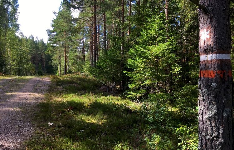
Norra slingan -
Norra slingan -

-

-

-

-

-

-

Norra slingan -

Södra slingan -
-
Södra slingan -
Södra slingan -

Södra slingan -
Norra slingan -

Södra slingan -

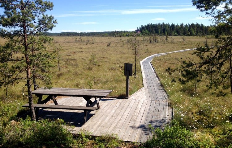
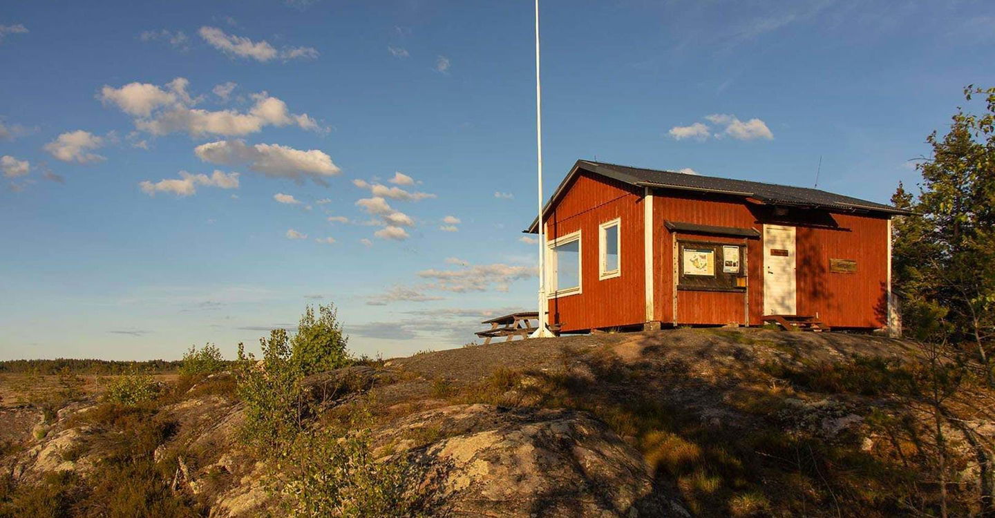
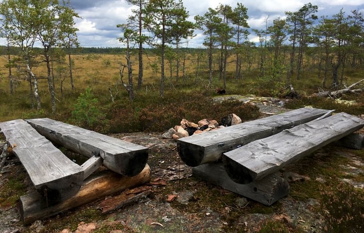
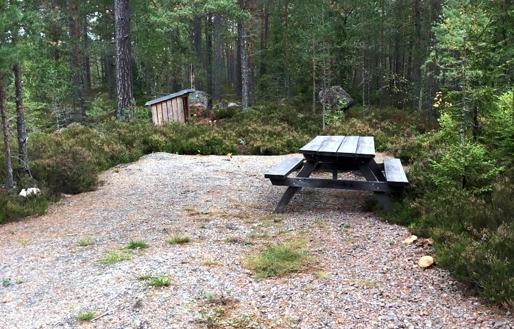
Rastplats vi parkeringsplatsen tillgänglig från båda rundsliongorna -
Södra slingan -
Södra slingan -

-
Södra slingan


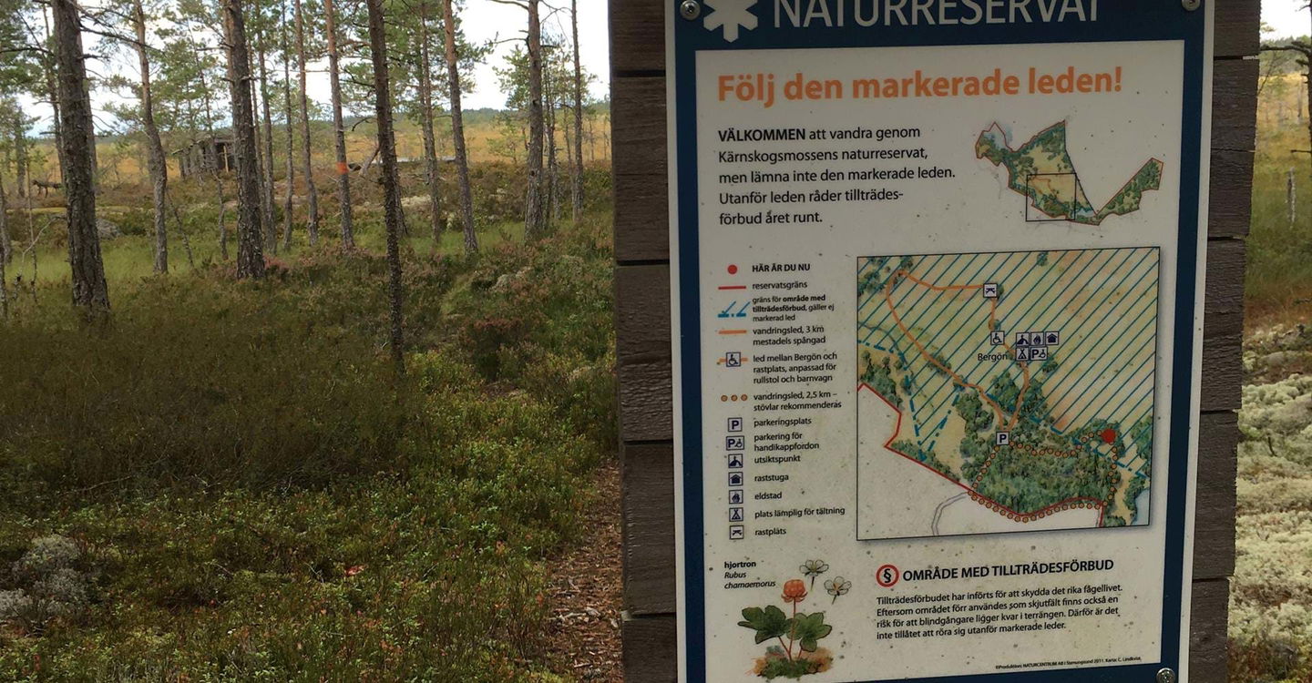


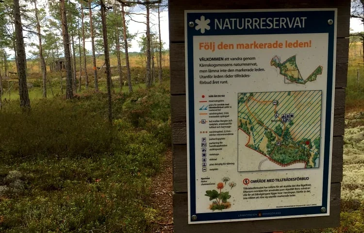


|Translated by Google translation| [Motala] Kärnskogsmossen
Circular trail
- County: Östergötlands län
- 6728.0 km away from you
Trail details
- Length 5.1 km
- Difficulty Green - simple
Actions
Description
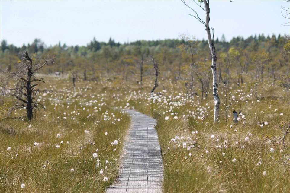
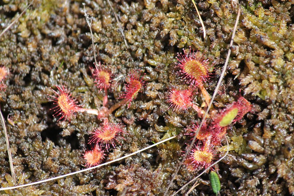
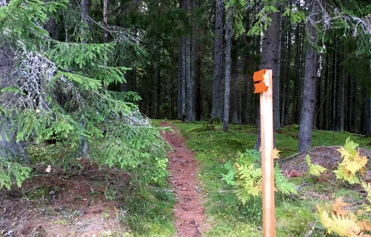
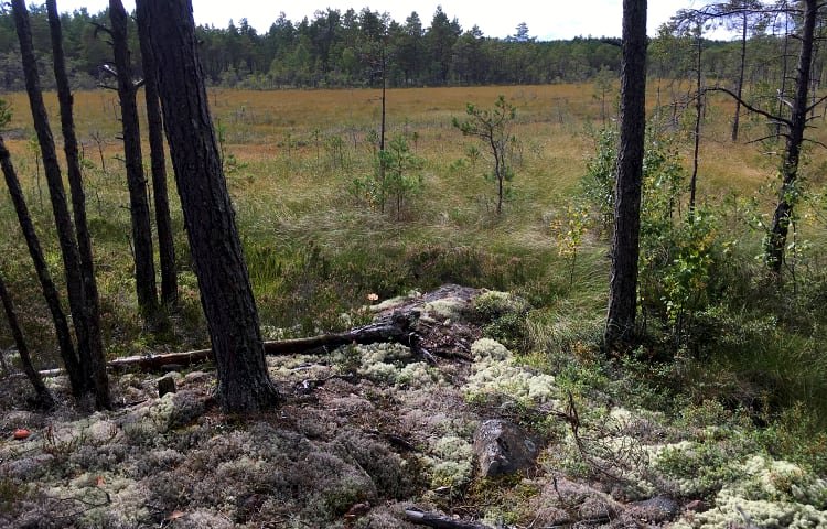
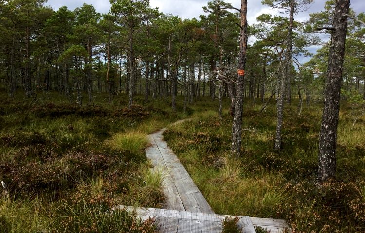
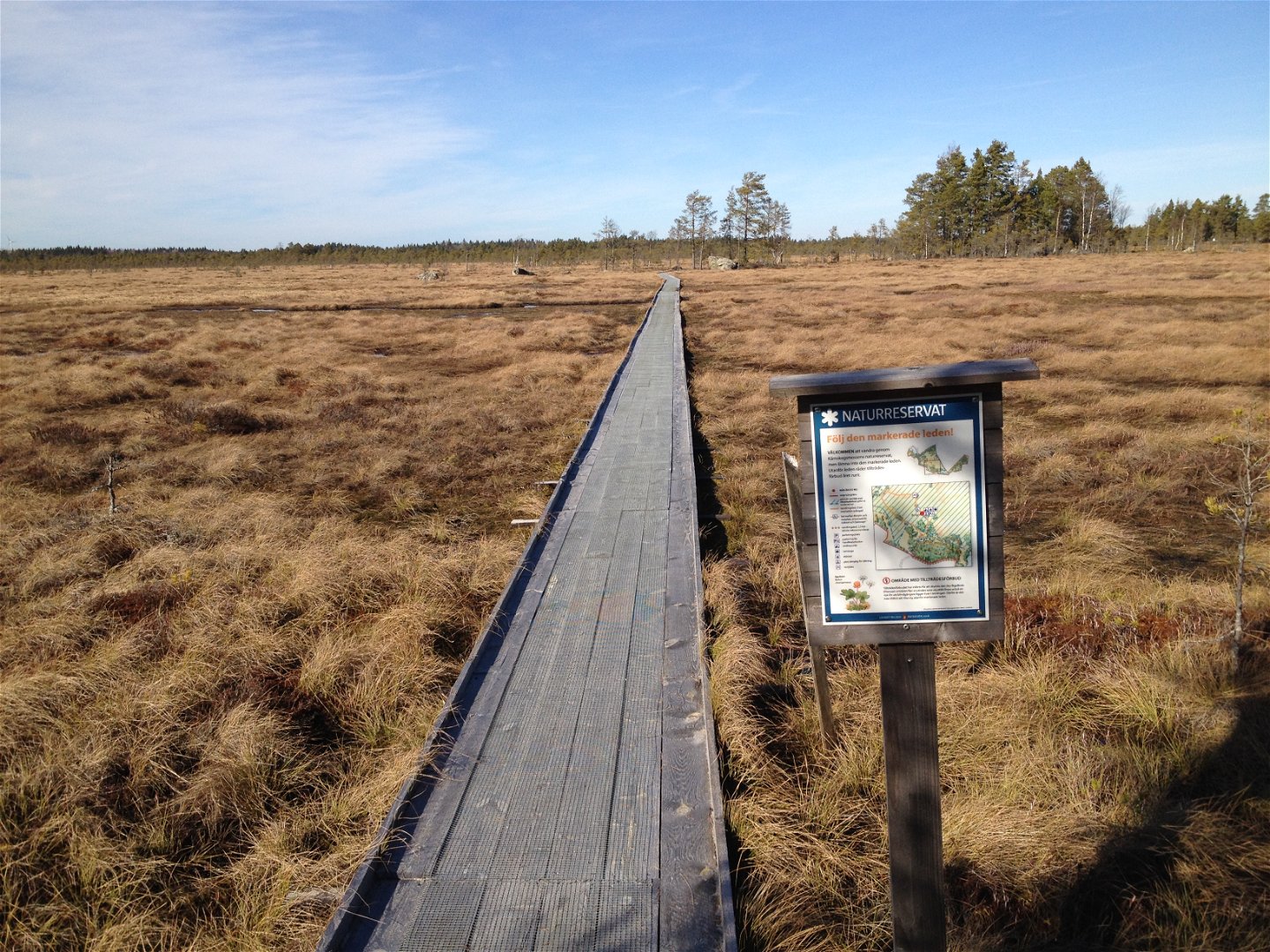
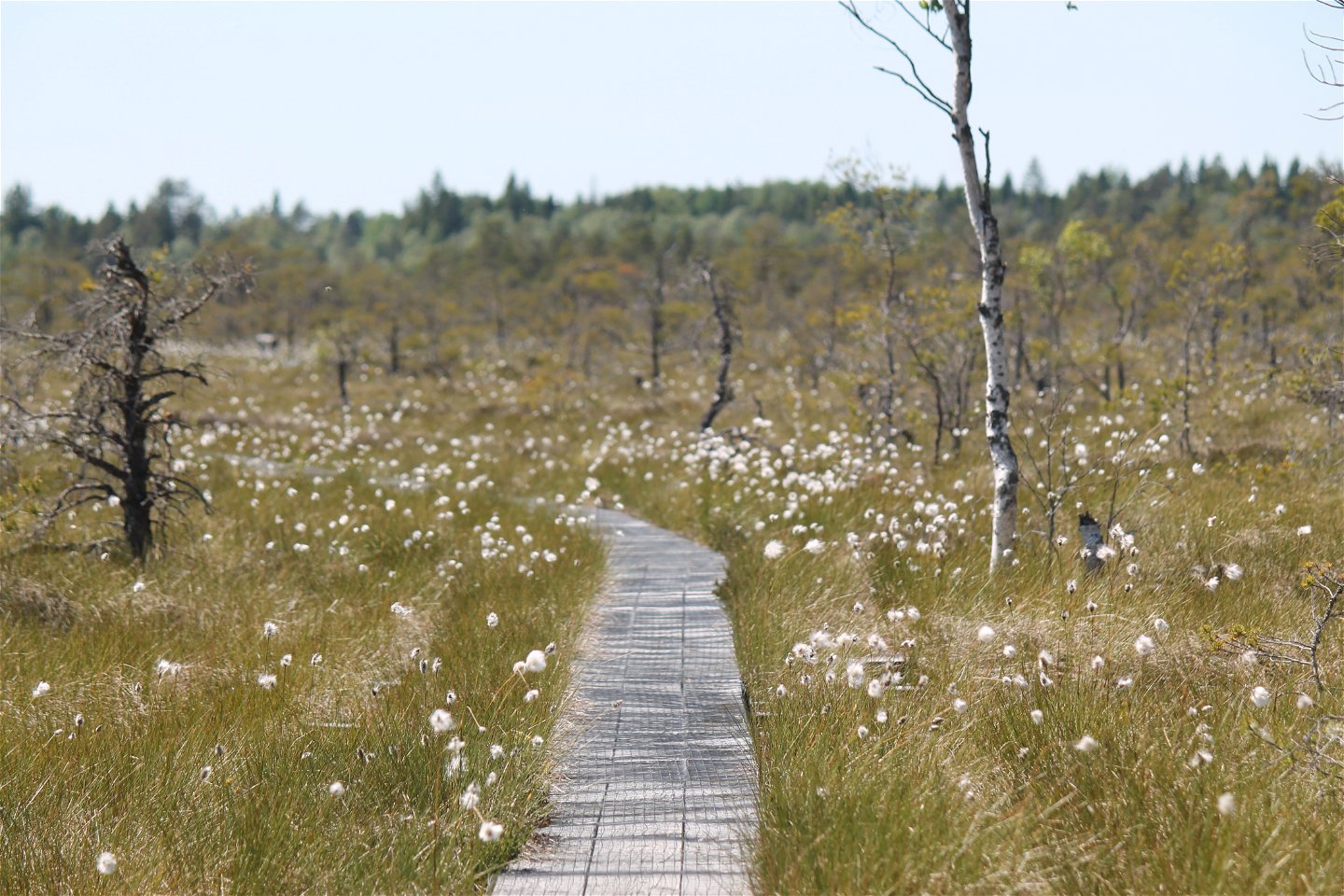
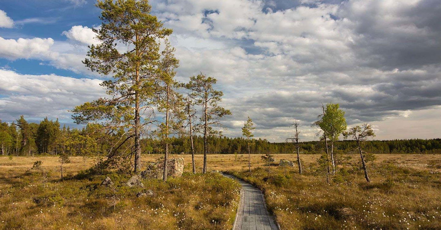
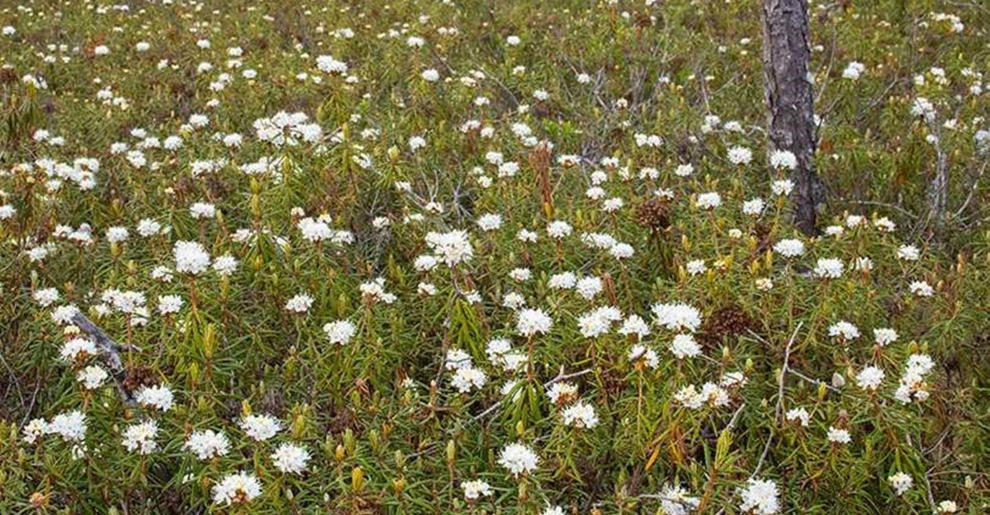
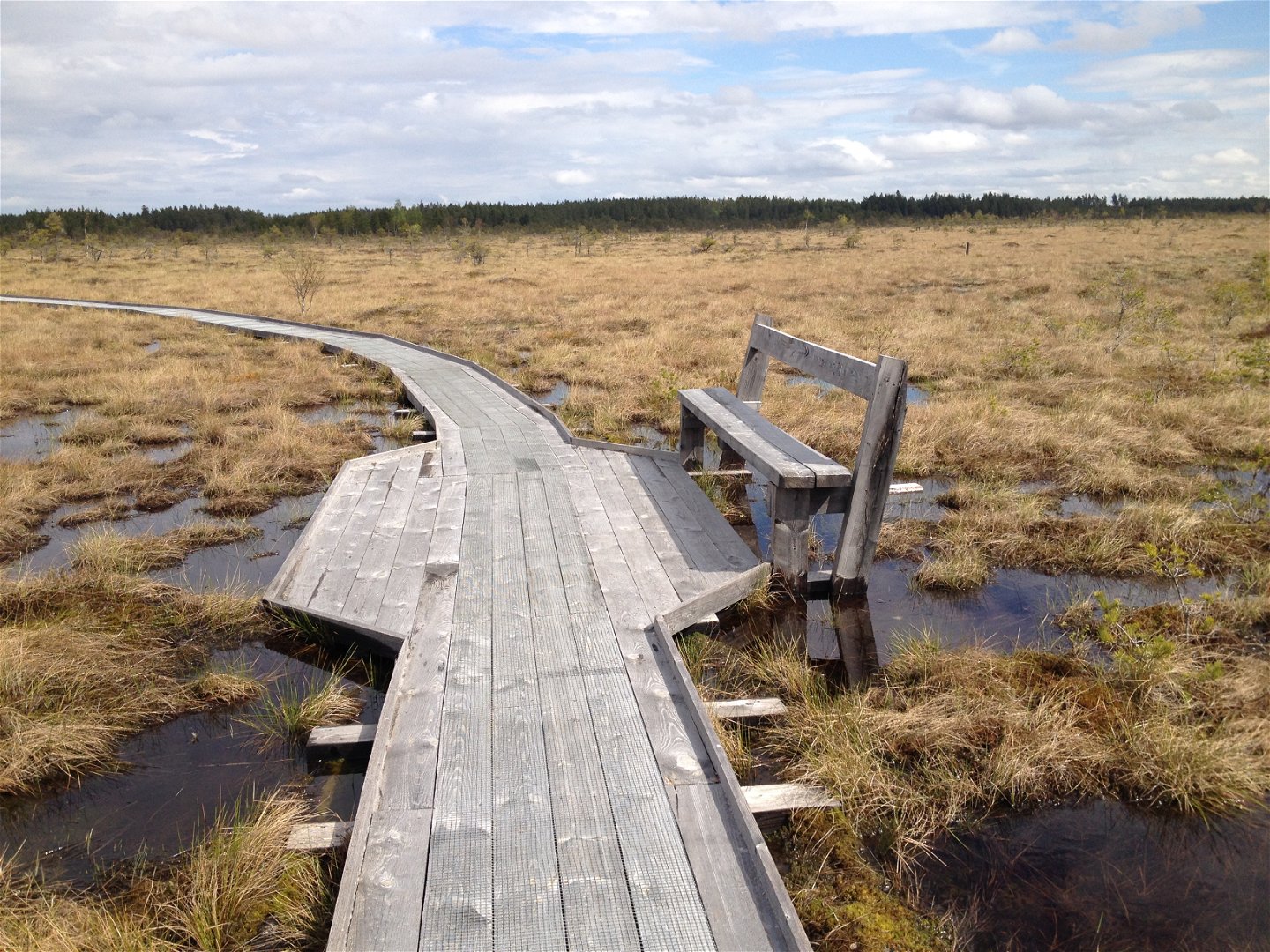
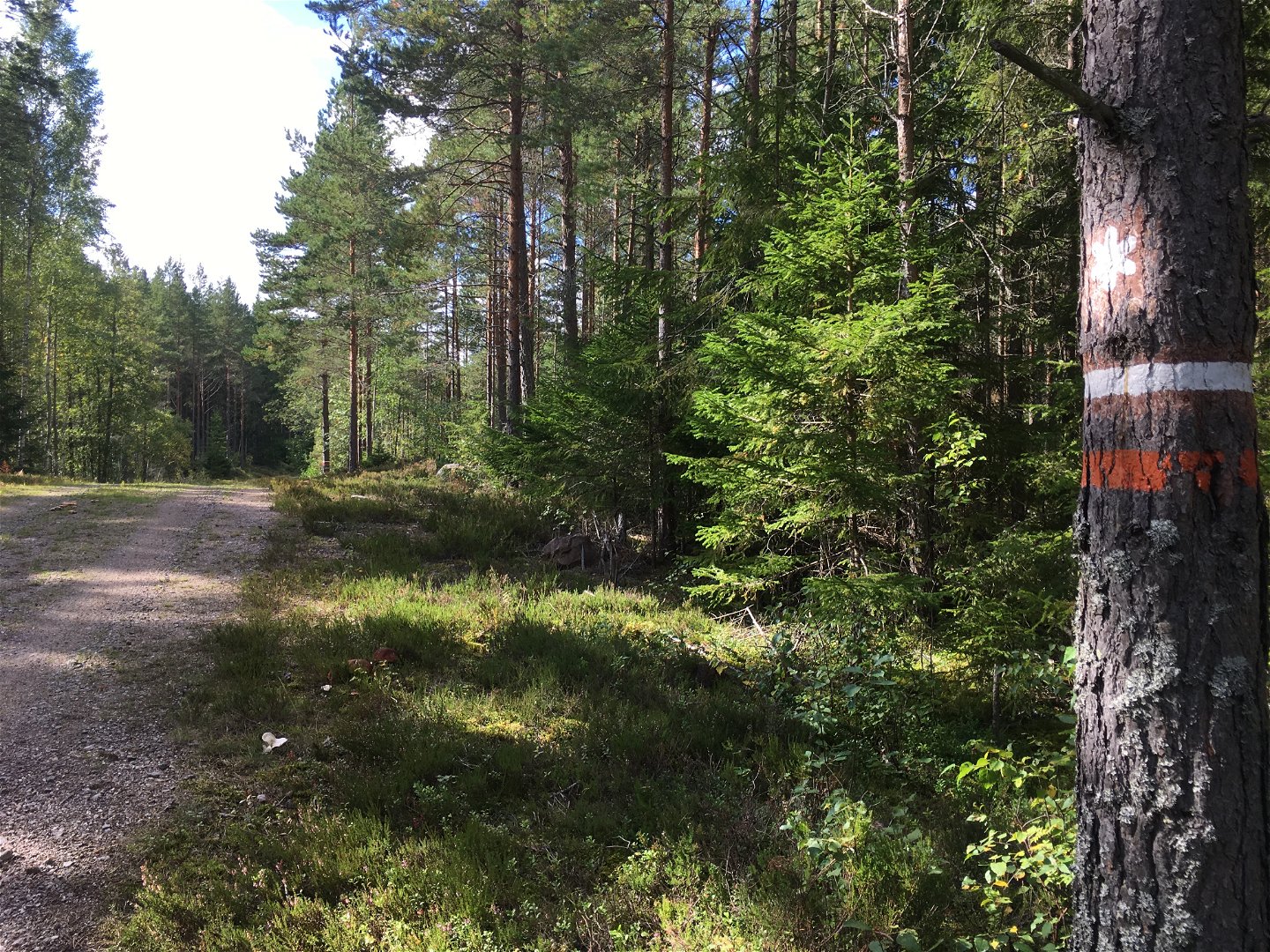
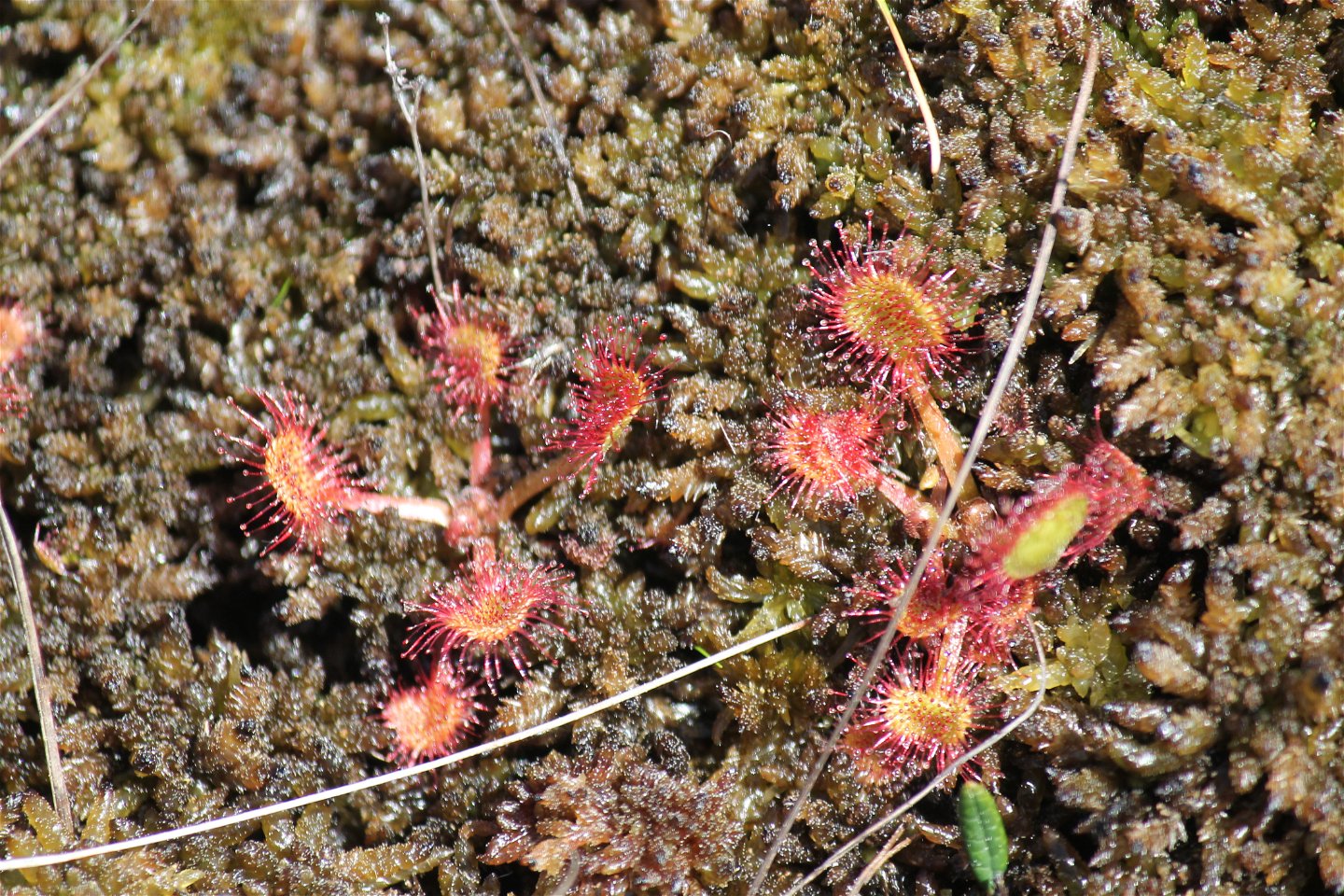
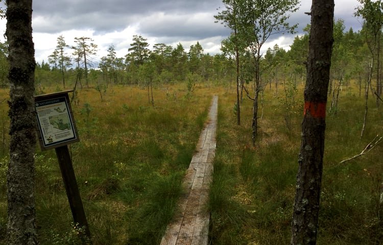
A beautiful trail through Kärnskogsmossens nature reserve with open views over the bog, pleasant pine forests and a lake. The north part of trail is about three kilometers long and the south trail is a bit over two kilometers. You will find both natural trails as well as footbridges. It can get a bit wet so bring proper boots.
From the south trail there is a connecting trail of 7 kilometers to Skönnarboleden.
Activities And Facilities
-
 Hiking
-
 Quiet places
-
Circular trail
Accessibility
-
 Near parking
-
 Near toilet
-
 Stroller accessible
-
 Wheelchair accessible
Directions
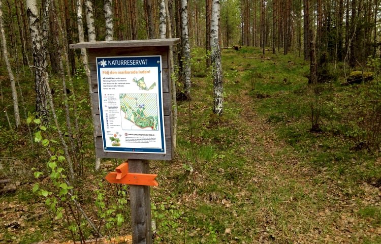
Directions: From Tjällmo follow road 211 about 9 km north, to the turnoff towards Mickelsbo, follow signs for the nature reserve.
Downloads
Contact
Address
Välkommen till Östgötaleden, 150 mils vandring i Östergötland!
Email address
Kontakt Östgötaleden
Organization logotype
![]()
Please be aware that some of these texts have been automatically translated.
Questions & Answers
Ask a question to other Naturkartan users.
