The Uppland Trail, section 15, 17.5 km
Hiking
- County: Uppsala län
- 6740.0 km away from you
Trail details
- Length 17.5 km
Actions
Description
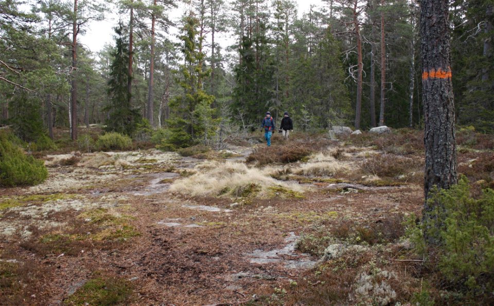
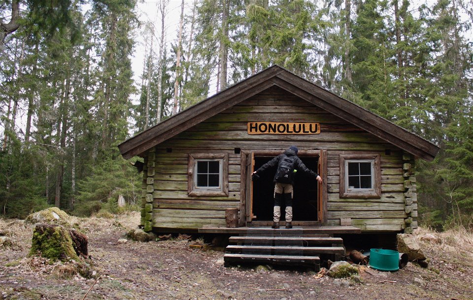
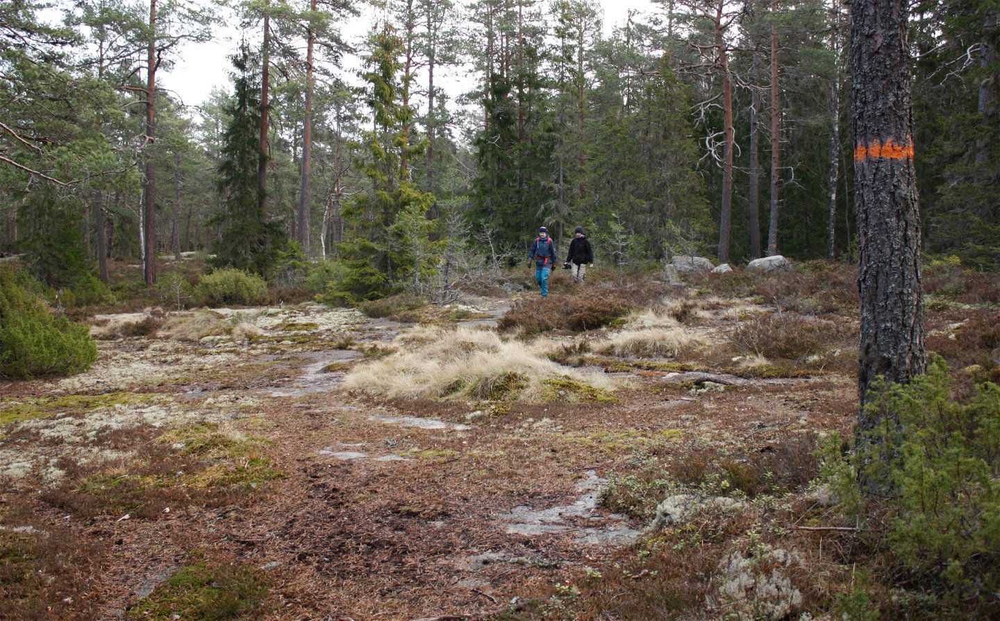
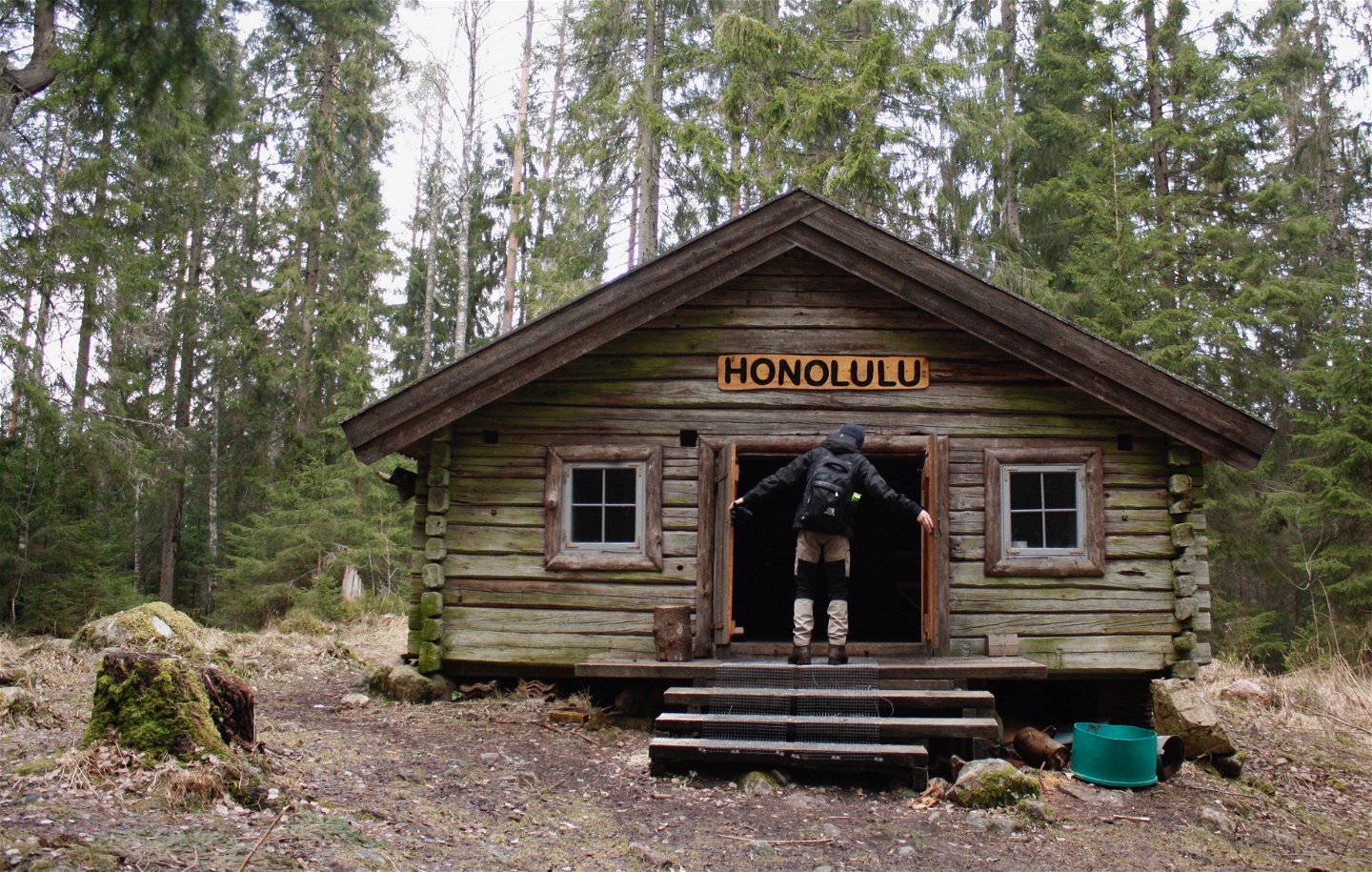
The start of section 15 is just by the church in Västland, a small village with ancient beginnings. The end is Marma by the River Dalälven, which you can get to by train. The first few kilometres are along easy-to-walk paths almost without rocks and roots. You’ll pass Tingshällarna, a small area of flat rocks in the middle of the forest. Six kilometres into the section, close to the overgrown Lake Trusksjön, is the Honolulu Hut. It’s an open lodge where you can stay the night. You can’t book it.
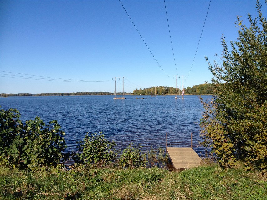
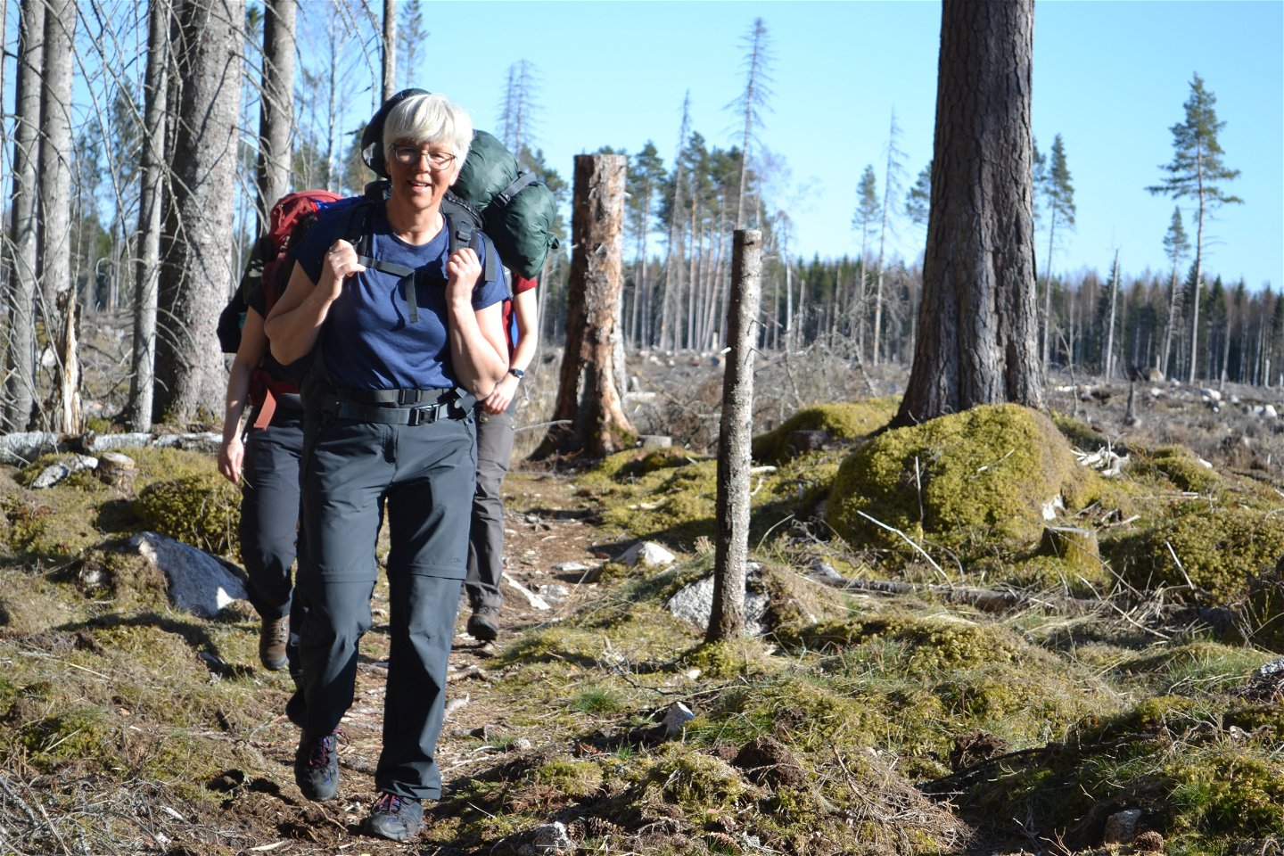
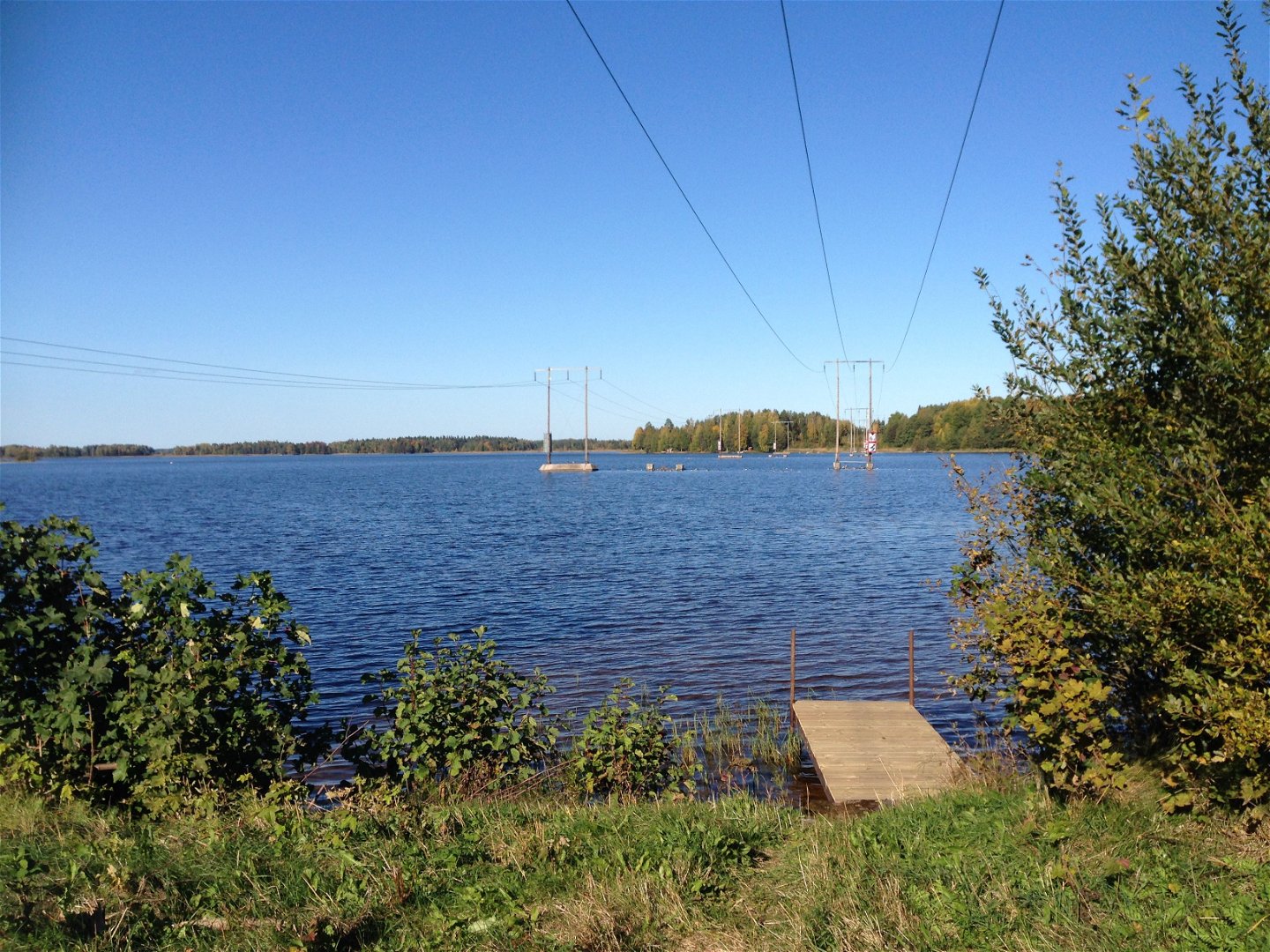
The trail continues along varied paths, sometimes rocky and sometimes easier to walk. Before reaching the road number 291, the forest changes, and you’ll enter an area of sandy ground and pine forests. The last part is along smaller roads and wide paths. You’ll pass a wind shelter just by the water, with a view of Lake Marmafjärden. In Marma you will find a train and a bus station, a kiosk, and a beach.
Difficulty level: Medium, forest paths and a few kilometres on roads.
Activities And Facilities
-
Hiking
Accessibility
-
Near Public Transport
Surface
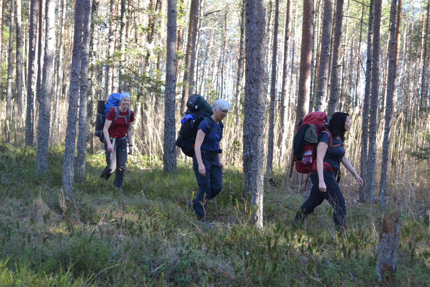
The walk is mostly along forest paths.
Communications
At the start there is a bus stop Västlands kyrka.
From Marma there are buses and trains to Uppsala or Gävle. The station is 200 m from the end of the stage. Follow the road that goes in at Kiosken.
For timetables and bus numbers, go to www.ul.se
Directions
Västland ligger längs vägen som går mellan Tierp och Karlholm. Från Tierp följer du skyltarna mot Karlholms bruk. Efter 15 km är du framme i Västland. Parkering finns vid kyrkan.
Marma ligger längs väg 291, en mil söder om Älvkarleby. Vid etappslutet finns parkering vid Marmafjärden, mitt emot Marma kiosk och grill. Följ bara väg 291.
Contact
Email address
Upplandsstiftelsen
Organization logotype

Please be aware that some of these texts have been automatically translated.
Questions & Answers
Ask a question to other Naturkartan users.


