-
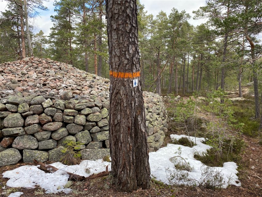
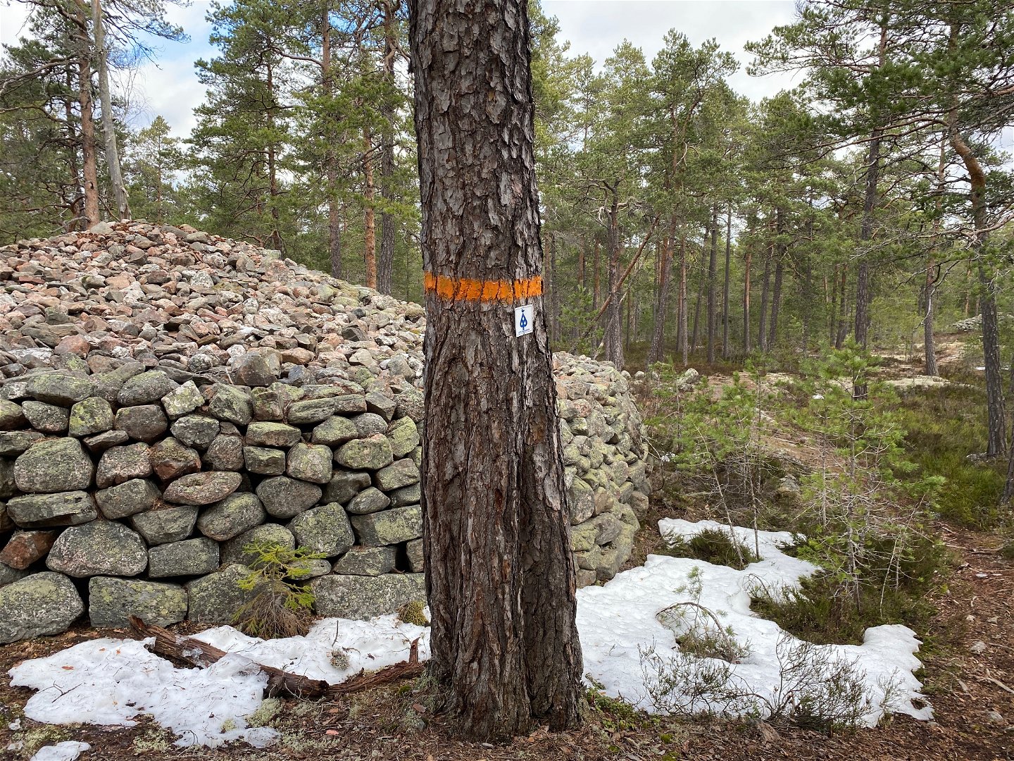
Gravröse -
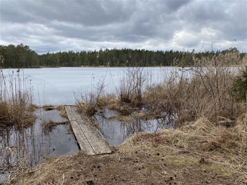
Djupsjön -

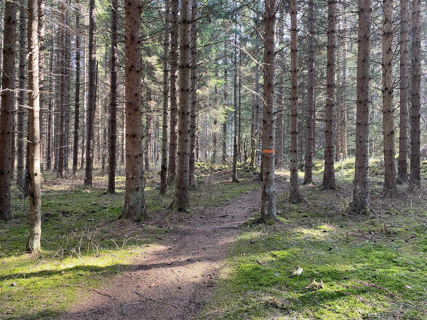
Skogsstig


The Uppland Trail, section 17, 7,5 km
Hiking
- County: Uppsala län
- 6731.18 km away from you
Trail details
- Length 7.5 km
Actions
Description
This short section will take you from the tourist hotel in Älvkarleby to former farm Långhäll and the county border towards Gästrikland on forest paths. After a few hundred metres along the road, the trail turns off into the forest. A couple of kilometres later, you’ll pass Mount Höghällsberget. There are remains of a hill fort at the top of the mountain, and an old charcoal burner’s hut a bit further on. Just before Långhäll, you can see three cairns and an oval-shaped stone circle.
At the end of the section, there is a wind shelter, but there is no road leading there. You will either have to turn back, or continue your hike on The Gästrikland Trail. This trail passes through nature reserve Långhällskogen, and on to the Hemlingby recreation area outside Gävle.
Difficulty level: Medium, brief section along forest paths.
Activities And Facilities
-
Hiking
Surface
Forest paths and small gravel roads, some parts may be wet at certain times of the year.
Parking
Parkering finns i Älvkarleby där etappen startar.
Communications
In Älvkarleby there is a bus stop, Älvkarleby turisten, where the stage starts. The train station is located southwest of Laxön, on the west side of Dalälven. You get across via bridges from Laxön. For timetables see www.ul.se
Directions
The stage starts in Älvkarleby at the parking lot along Västanåvägen just north of Laxön. You cannot get to Långhäll by car, here the Gästrikeleden trail connects and you can continue your hike on it.
Contact
Email address
Upplandsstiftelsen
Organization logotype
![]()
Please be aware that some of these texts have been automatically translated.
Questions & Answers
Ask a question to other Naturkartan users.
