-
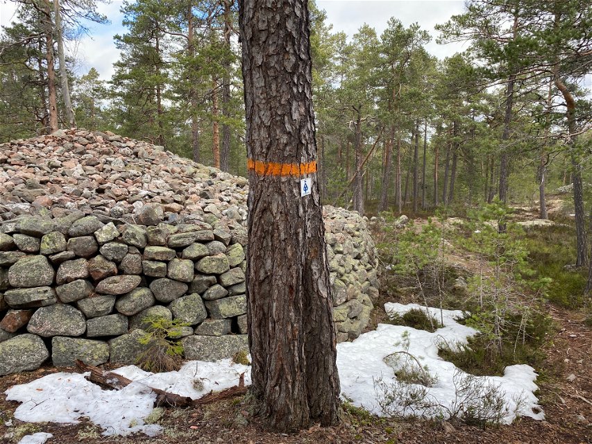
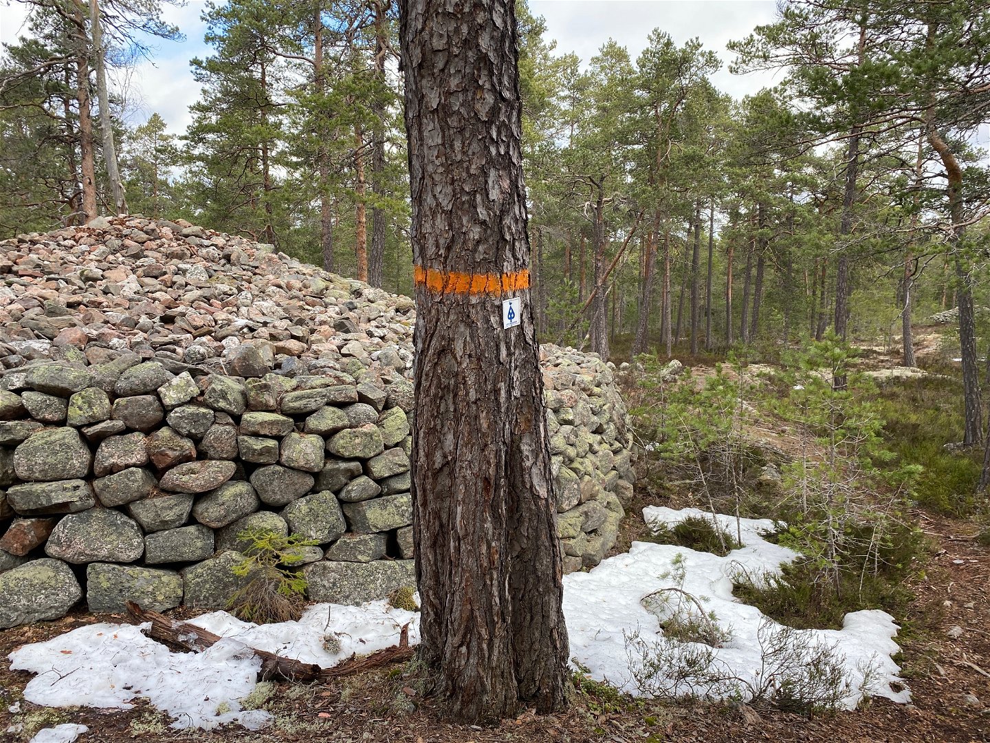
Gravröse -
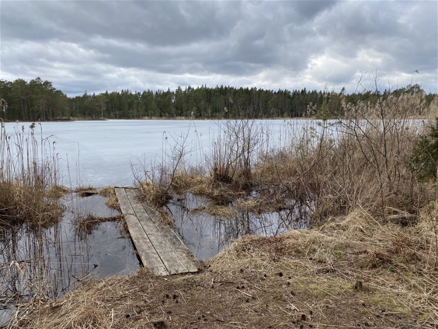
Djupsjön -

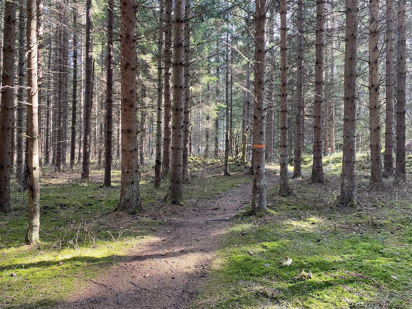
Skogsstig


Upplandsleden, etapp 17, Älvkarleby–Långhäll
Wędrówki piesze
- Województwo: Uppsala län
- 6898.61 km od Ciebie
Szczegóły dotyczące szlaku
- Długość 7.5 km
Akcje
Opis
This short section will take you from the tourist hotel in Älvkarleby to former farm Långhäll and the county border towards Gästrikland on forest paths.
After a few hundred metres along the road, the trail turns off into the forest. A couple of kilometres later, you’ll pass Mount Höghällsberget. There are remains of a hill fort at the top of the mountain, and an old charcoal burner’s hut a bit further on. Just before Långhäll, you can see three cairns and an oval-shaped stone circle.
At the end of the section, there is a wind shelter, but there is no road leading there. You will either have to turn back, or continue your hike on The Gästrikland Trail. This trail passes through nature reserve Långhällskogen, and on to the Hemlingby recreation area outside Gävle.
Difficulty level: Medium, brief section along forest paths.
Działania i udogodnienia
-
Wędrówki piesze
Powierzchnia
Forest paths and small gravel roads, some parts may be wet at certain times of the year.
Parking
Parking is available in Älvkarleby where the stage starts.
Komunikacja
In Älvkarleby there is a bus stop, Älvkarleby turisten, where the stage starts. The train station is located southwest of Laxön, on the west side of Dalälven. You get across via bridges from Laxön. For timetables see www.ul.se
Wskazówki dojazdu
The stage starts in Älvkarleby at the parking lot along Västanåvägen just north of Laxön. You cannot get to Långhäll by car, here the Gästrikeleden trail connects and you can continue your hike on it.
Kontakt
Adres e-mail
Upplandsstiftelsen
Logotyp organizacji
![]()
Należy pamiętać, że niektóre z tych tekstów zostały przetłumaczone automatycznie.
Pytania i Odpowiedzi
Zadaj pytanie innym użytkownikom Naturkartan.
