The Uppland Trail, section 23, 20 km
Hiking
- County: Uppsala län
- 6758.53 km away from you
Trail details
- Length 20.0 km
Actions
Description
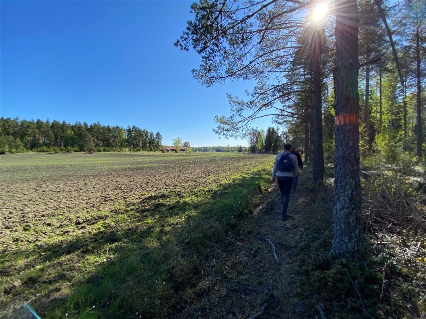
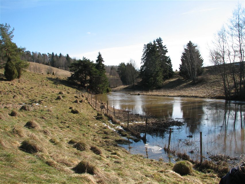
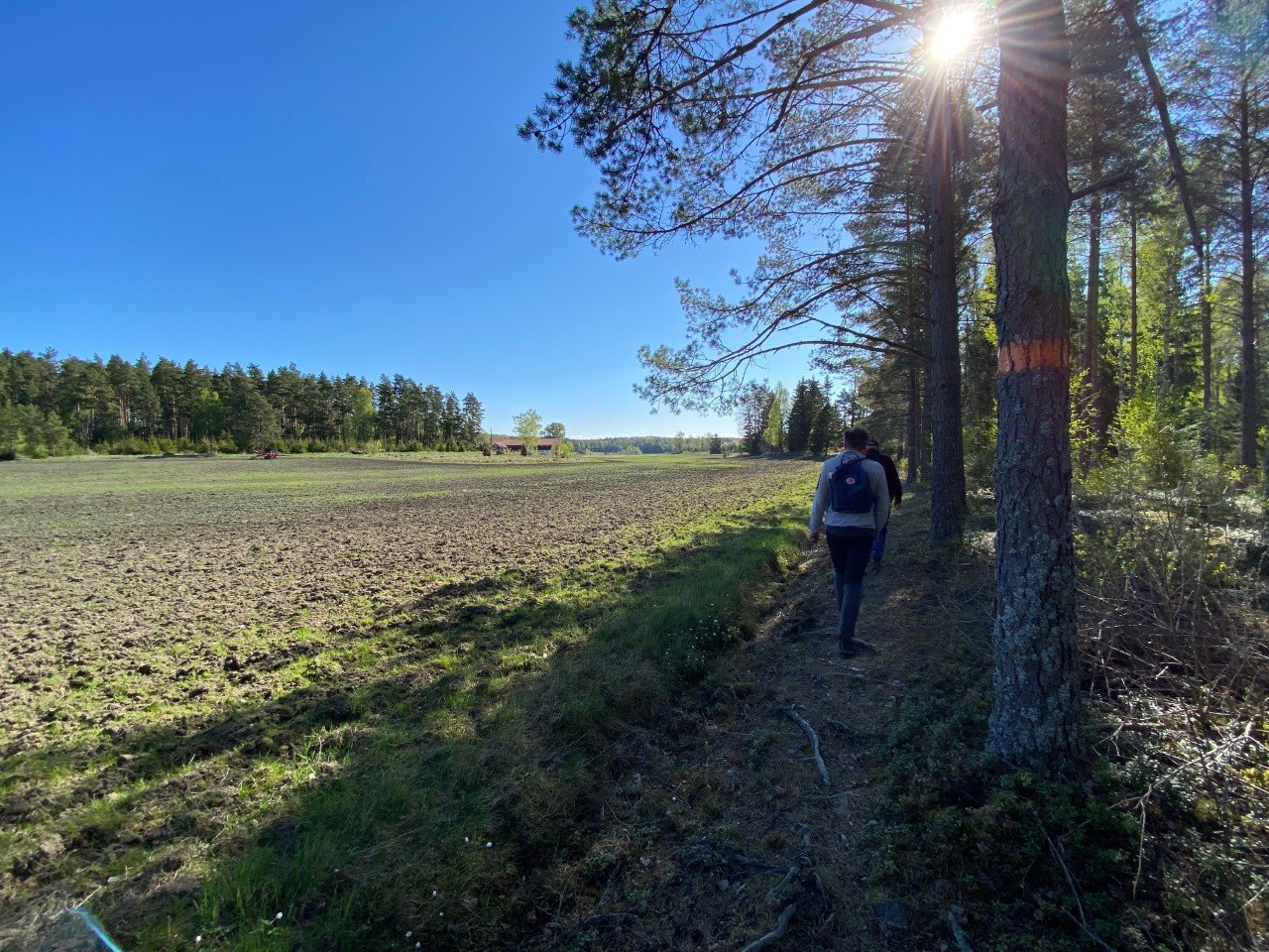
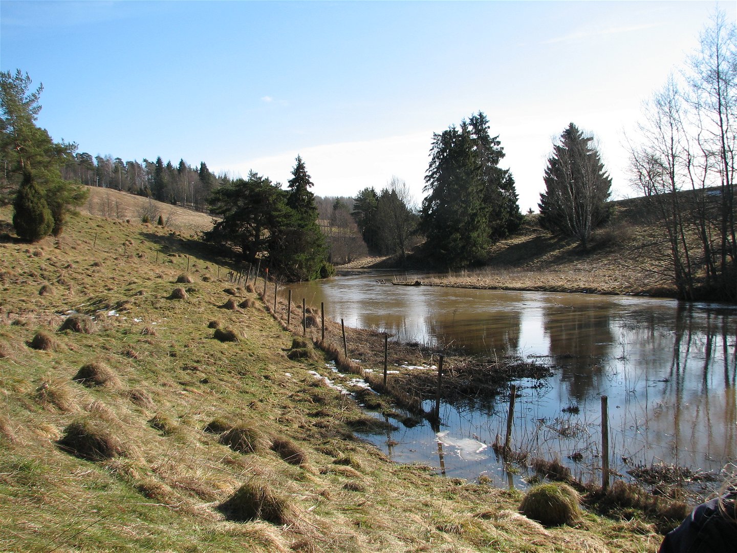
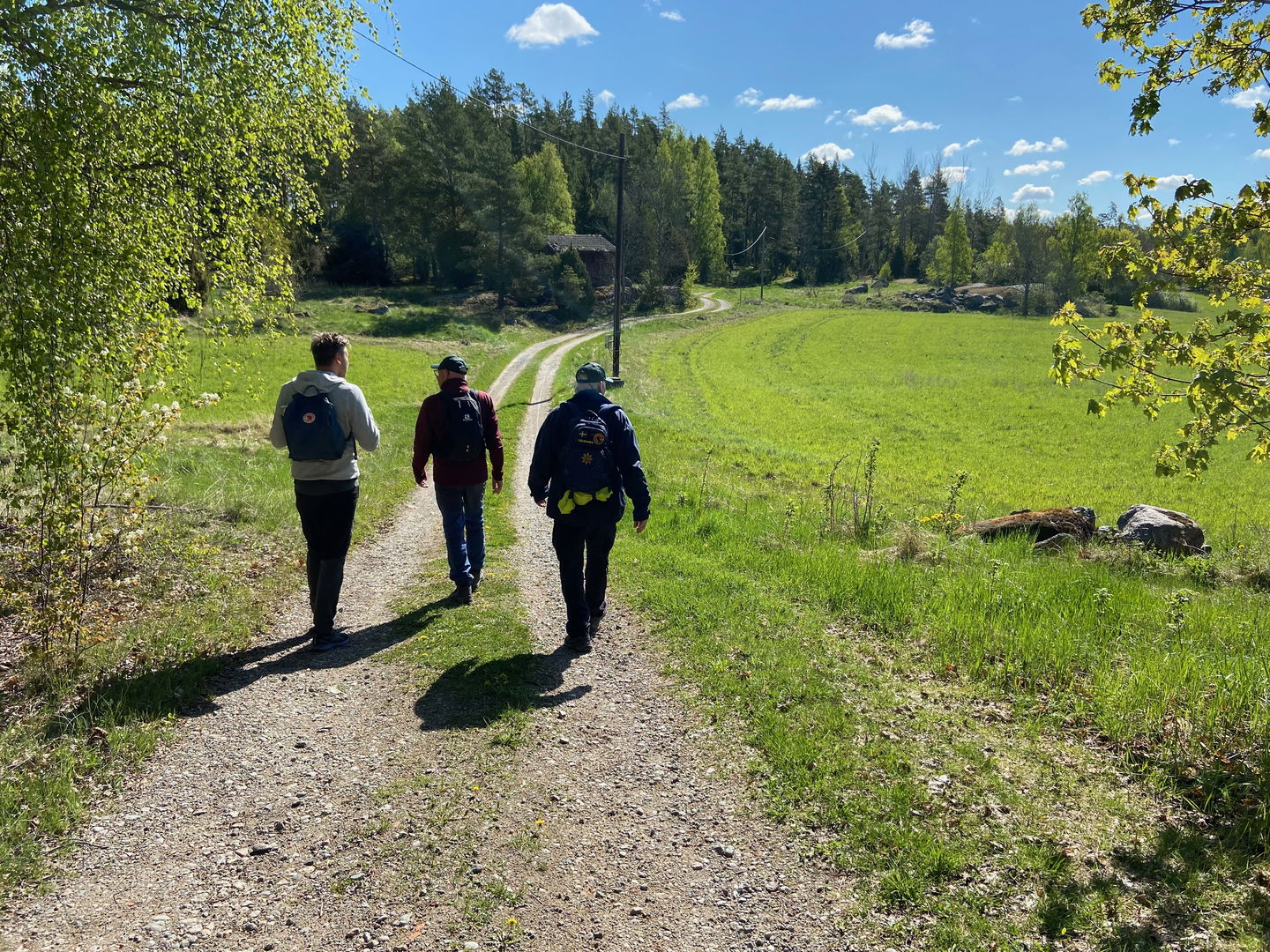
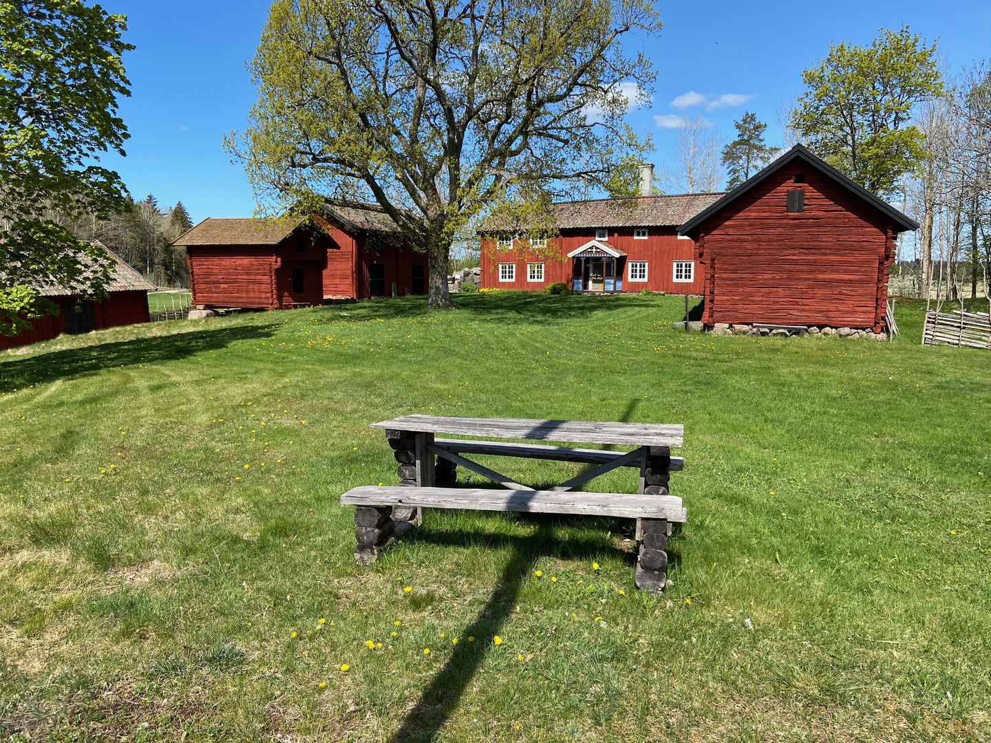
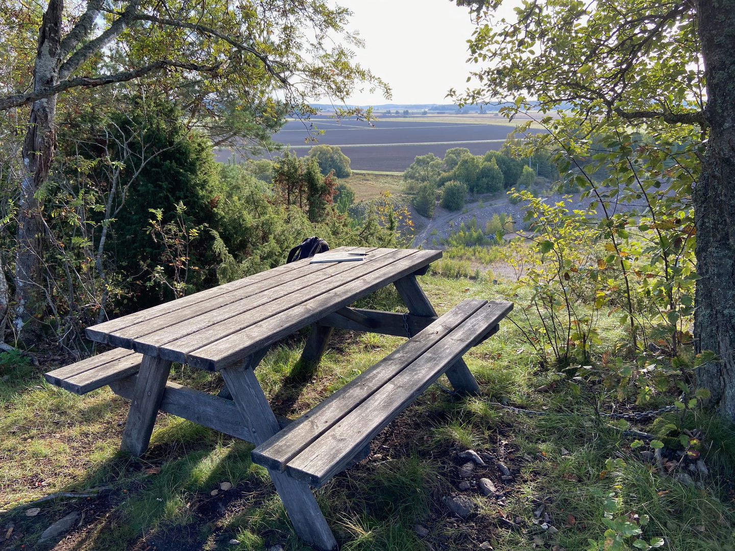
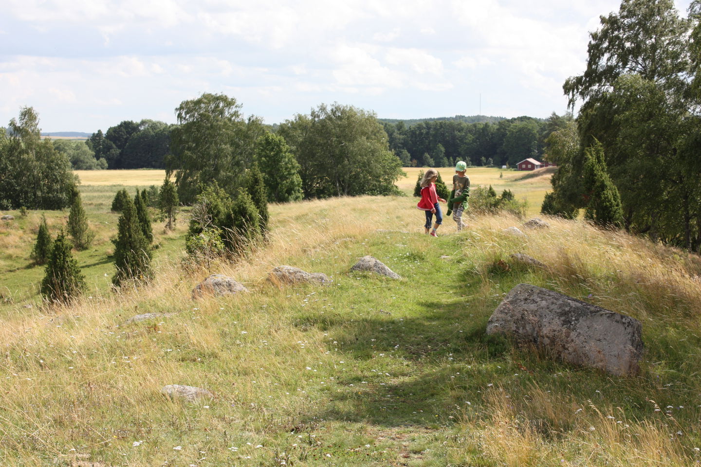
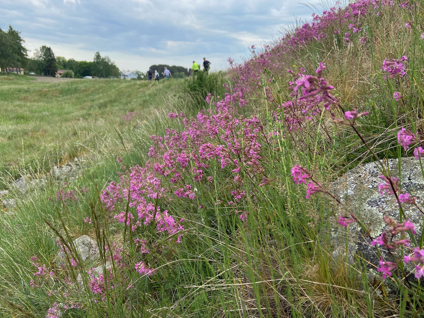
Section 23 goes from Ytterkvarn in nature reserve Skattmansöådalen to Härnevi IP’s Sports ground. You’ll then continue through a rolling forest and farmland landscape, which, over the course of the walk, gets flatter and more open. Not far from the start, close to Ytterkvarn’s impressive stone arch bridge, you can take a brief detour to a charcoal burner’s hut. Outside, there is a rest spot with a view. You’ll walk 6 kilometres along paths and forest roads before reaching an old barn where you can stop for a break, unless you want to continue another kilometre to Häled’s beautiful rural community centre. A path leads you down to Torstuna, and on to a country road, past vast fields to Torslunda. The trail splits here. If you turn left, it’s a longer section through two small nature reserves (see Walk 23:1), and if you go straight ahead, you’ll go straight via Kylsta to Härnevi.
Difficulty level: Medium, roads and forest paths.
Activities And Facilities
-
Hiking
Surface
The hike follows nice paths and roads.
Parking
Parking is available at both the start and finish.
Communications
There is no bus service along this section.
Directions
To get to Skattmansöådalen, follow the signs from road 72, just before Vittinge. Turn left at the junction after Skattmansöstugan to get to Ytterkvarn.
To get to Härevi IP, take road 70 from Enköping towards Sala. Just north of Enköping, turn right towards Torstuna. Drive about 8 km and turn left towards Härnevi church. Just before the church, turn left and then right. Signs point towards Härnevi IP.
Contact
Email address
Upplandsstiftelsen
Organization logotype

Please be aware that some of these texts have been automatically translated.
Questions & Answers
Ask a question to other Naturkartan users.

