-

-

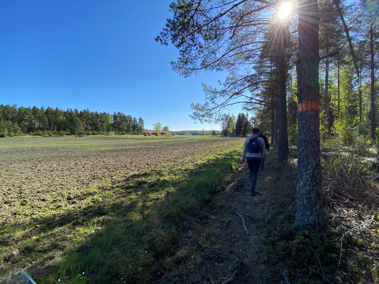
Skattmansöådalen.
Foto: Anett Wass -

-

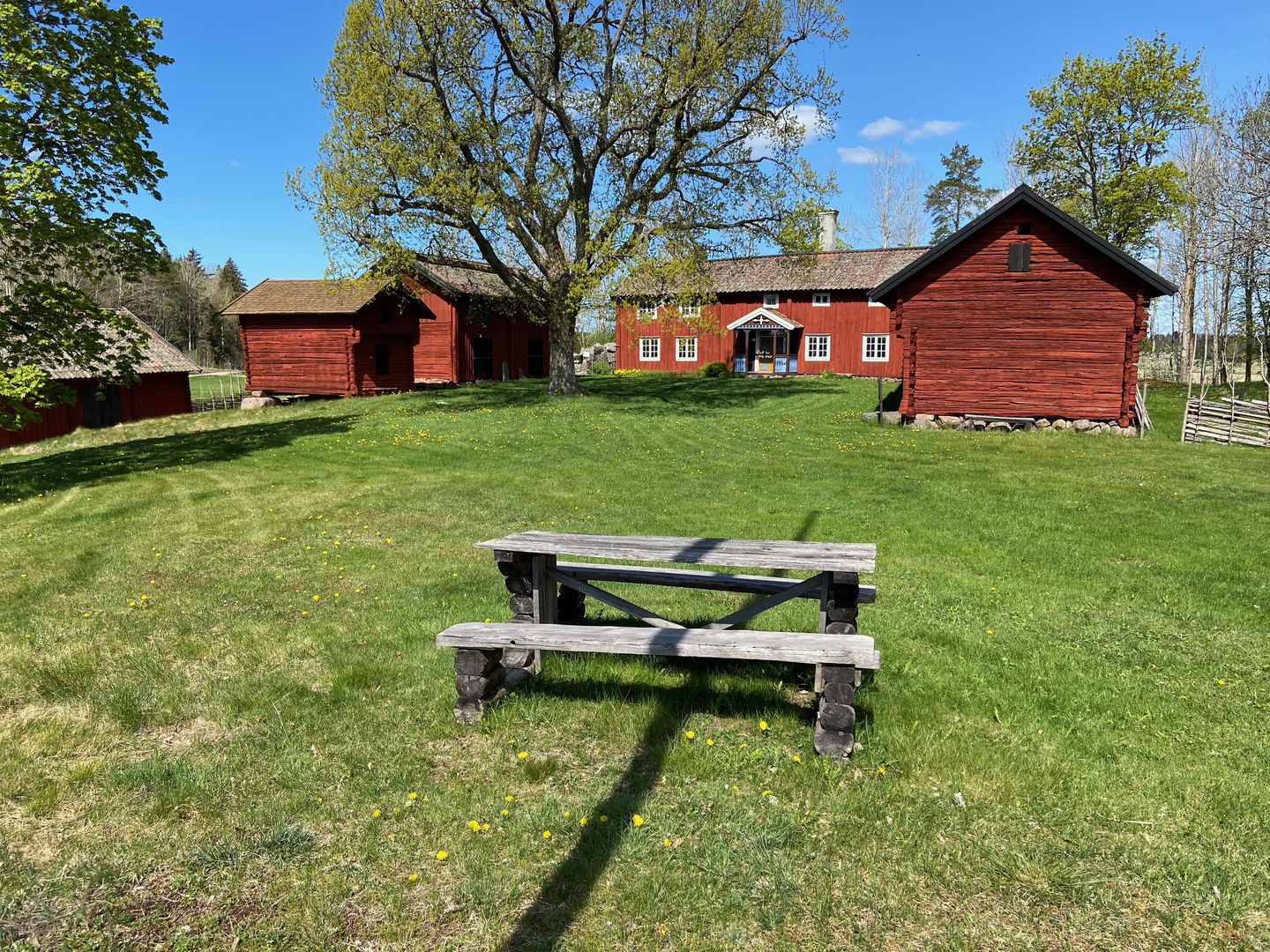
Härledsgården -

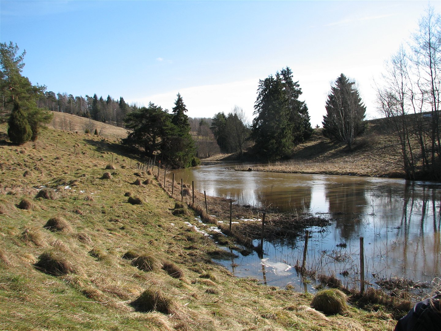
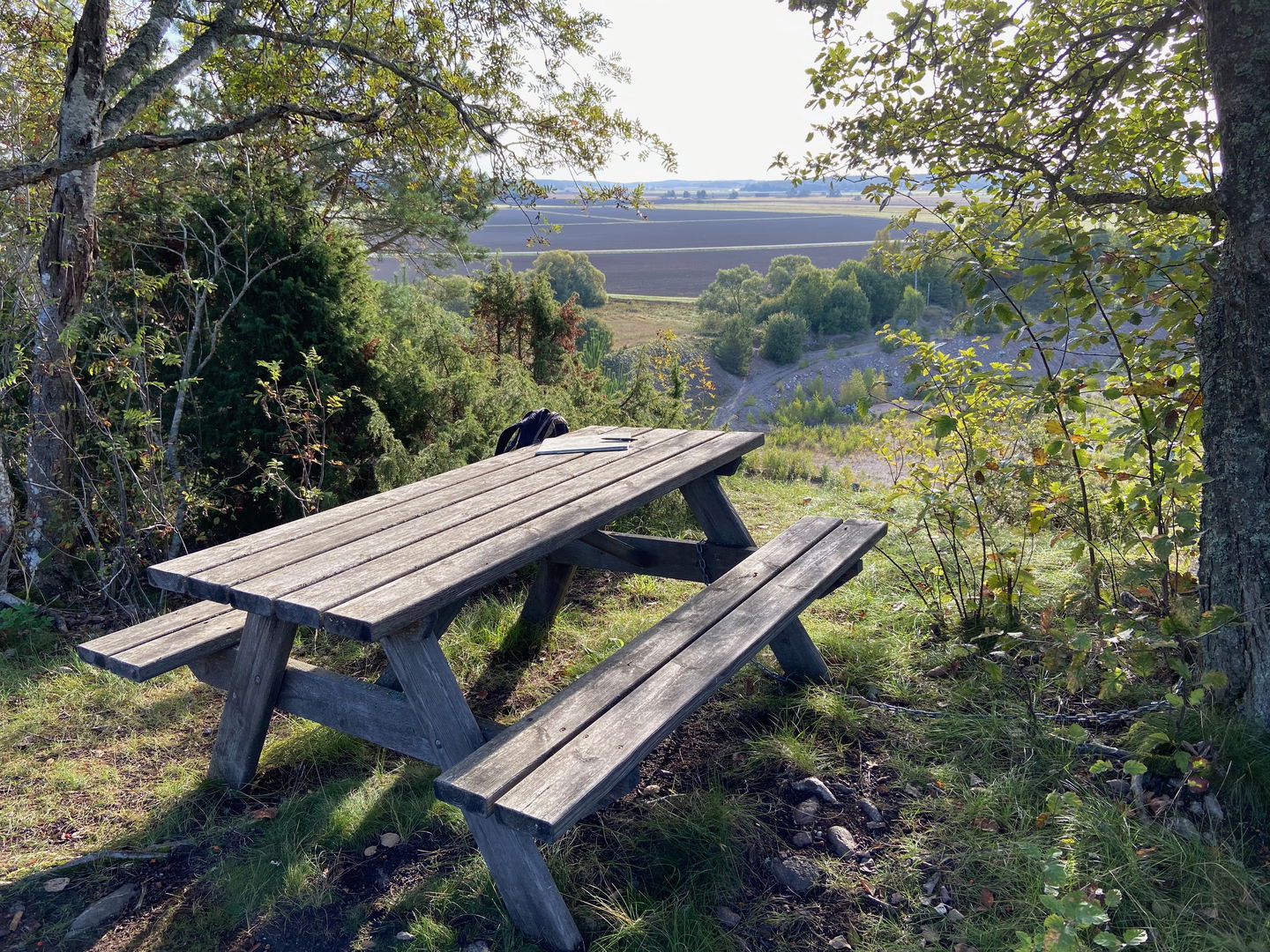
Utsikten vid Torslundagropen -

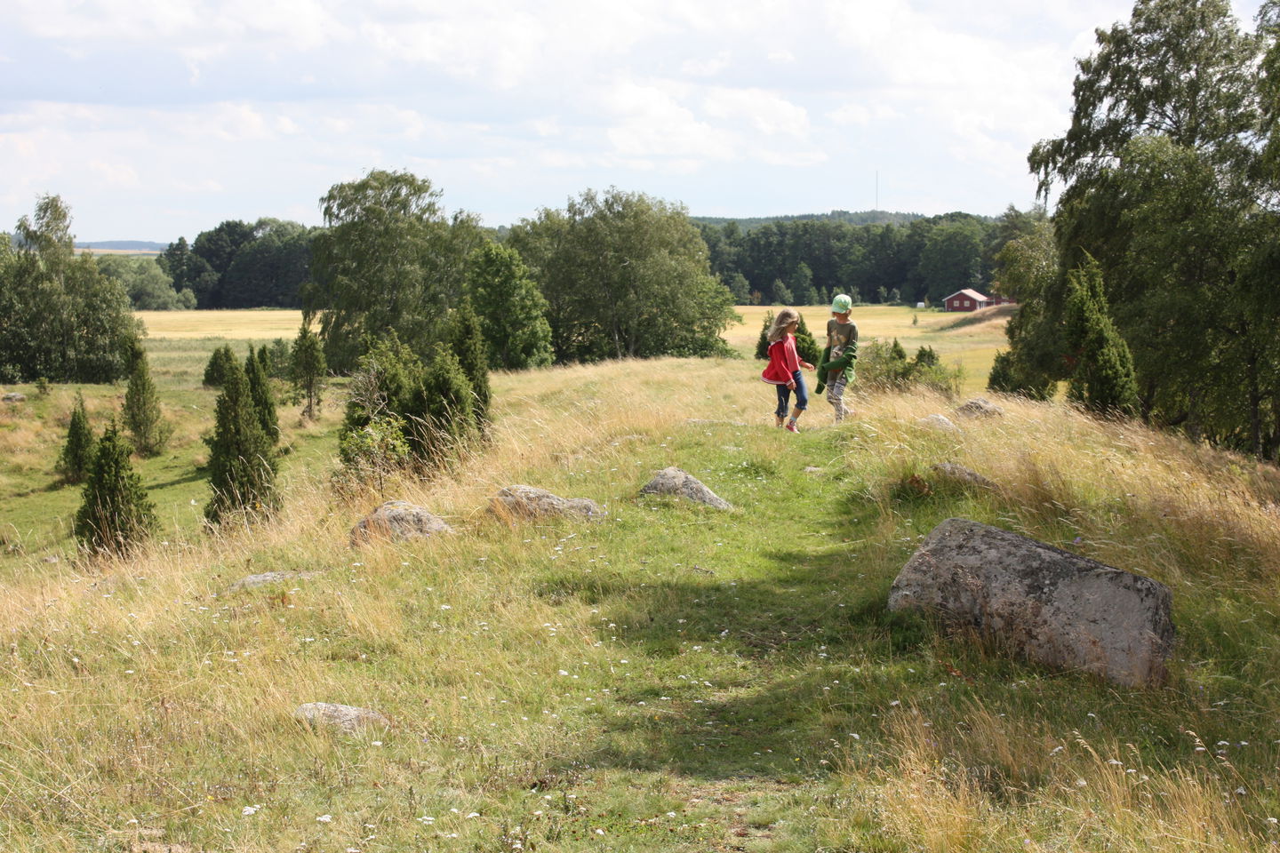
Vånsjöåsens naturreservat -

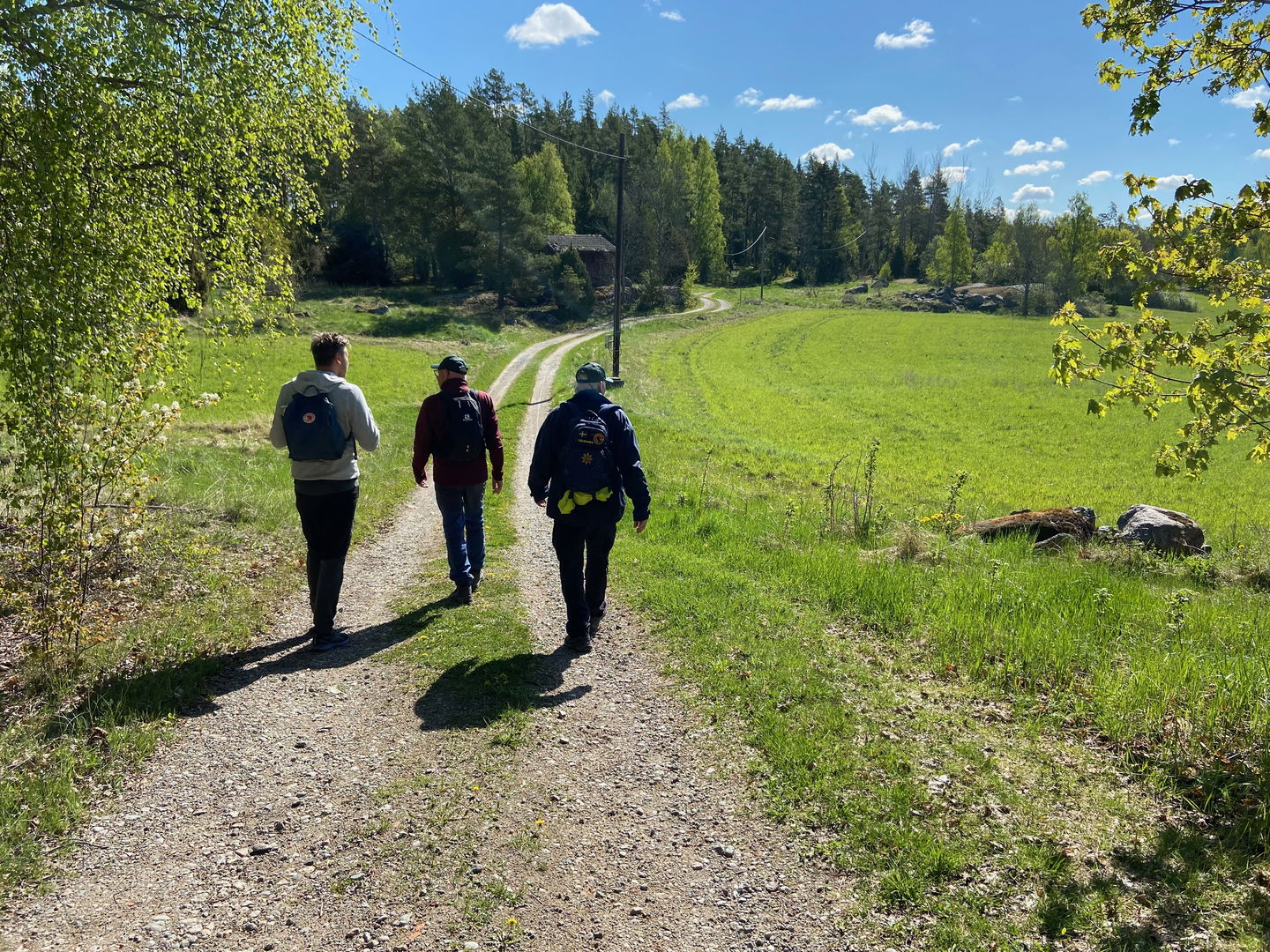
Vandring mot Vånsjöbro

Upplandsleden, etapp 23, Skattmansöådalen–Härnevi IP
Hiking
- Regio: Uppsala län
- 6758.53 km van u vandaan
Pad details
- Lengte 20.0 km
Acties
Omschrijving
Section 23 goes from Ytterkvarn in nature reserve Skattmansöådalen to Härnevi IP’s Sports ground. You’ll then continue through a rolling forest and farmland landscape, which, over the course of the walk, gets flatter and more open. Not far from the start, close to Ytterkvarn’s impressive stone arch bridge, you can take a brief detour to a charcoal burner’s hut. Outside, there is a rest spot with a view. You’ll walk 6 kilometres along paths and forest roads before reaching an old barn where you can stop for a break, unless you want to continue another kilometre to Häled’s beautiful rural community centre. A path leads you down to Torstuna, and on to a country road, past vast fields to Torslunda. The trail splits here. If you turn left, it’s a longer section through two small nature reserves (see Walk 23:1), and if you go straight ahead, you’ll go straight via Kylsta to Härnevi.
Difficulty level: Medium, roads and forest paths.
Activiteiten en faciliteiten
-
Hiking
Oppervlakte
The hike follows nice paths and roads.
Parkeren
Parking is available at both the start and finish.
Communicatie
There is no bus service along this section.
Routebeschrijving
To get to Skattmansöådalen, follow the signs from road 72, just before Vittinge. Turn left at the junction after Skattmansöstugan to get to Ytterkvarn.
To get to Härevi IP, take road 70 from Enköping towards Sala. Just north of Enköping, turn right towards Torstuna. Drive about 8 km and turn left towards Härnevi church. Just before the church, turn left and then right. Signs point towards Härnevi IP.
Contact
E-mailadres
Upplandsstiftelsen
Organisatie-logotype
![]()
Houd er rekening mee dat sommige teksten automatisch zijn vertaald.
Vragen en antwoorden
Stel een vraag aan andere Naturkartan gebruikers.
