Svarttjärns vandringsstig
Hiking
- County: Västerbottens län
- 6672.48 km away from you
Trail details
- Length 7.0 km
Actions
Description
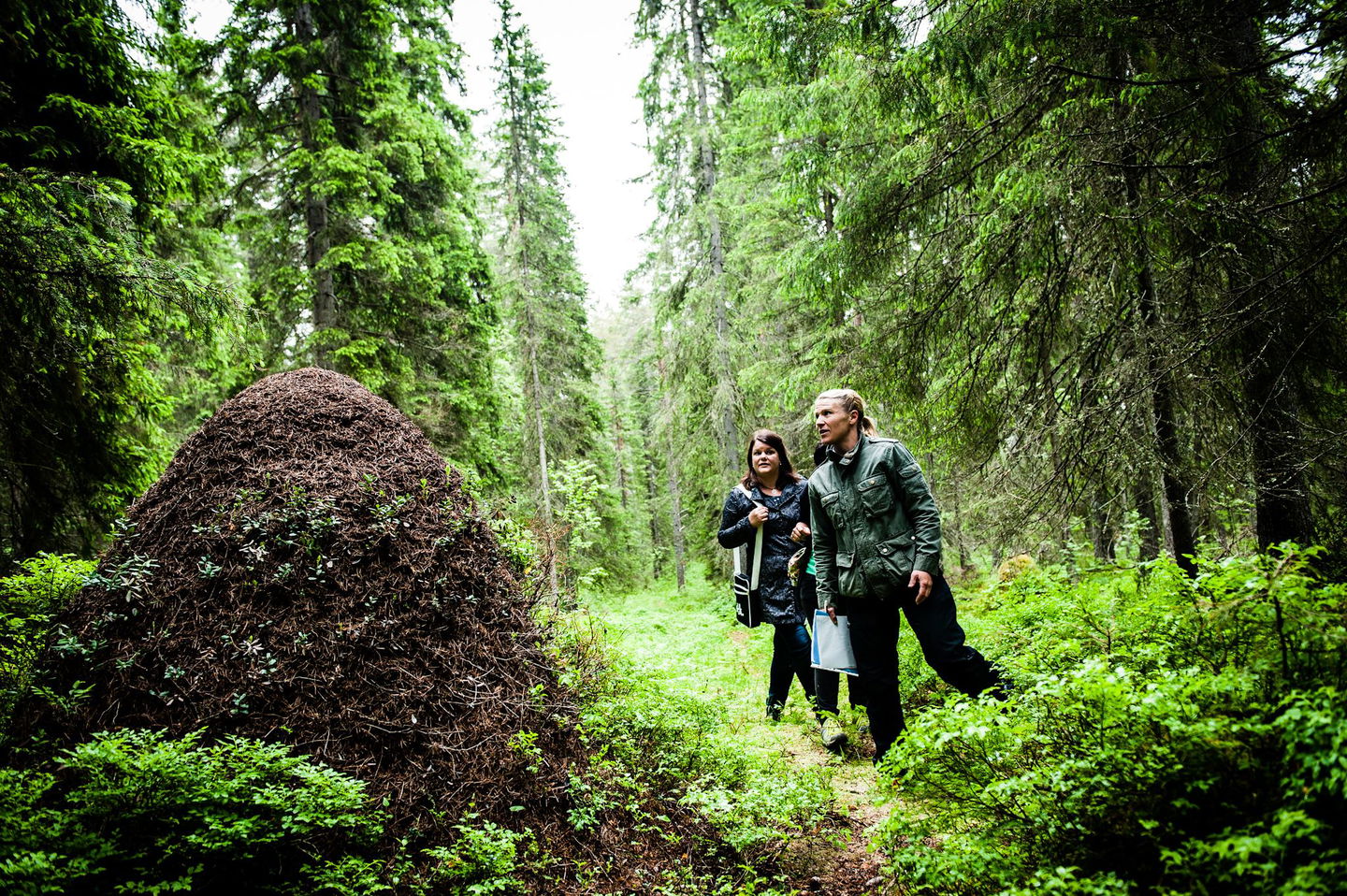
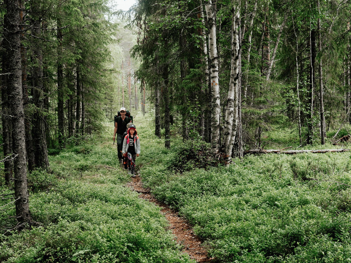
Welcome to Svarttjärn's hiking trail. Here you can hike through beautiful nature to Havsvågen and up on Lidberget, the highest mountain in the Lövånger area. Here is a large pebble field with stones lying in "waves". There is also a high lookout tower.
Activities And Facilities
-
Hiking
Surface
dirt road, forest path
Parking
Start and parking in Svarttjärn is located about 1.7 km from road 774 that runs through the village. Follow the signs from the road.
Contact
Email address
Kundtjänst Skellefteå kommun
Organization logotype

Please be aware that some of these texts have been automatically translated.
Questions & Answers
Ask a question to other Naturkartan users.


