Svarttjärns vandringsstig
Wędrówki piesze
- Województwo: Västerbottens län
- 6672.48 km od Ciebie
Szczegóły dotyczące szlaku
- Długość 7.0 km
Akcje
Opis
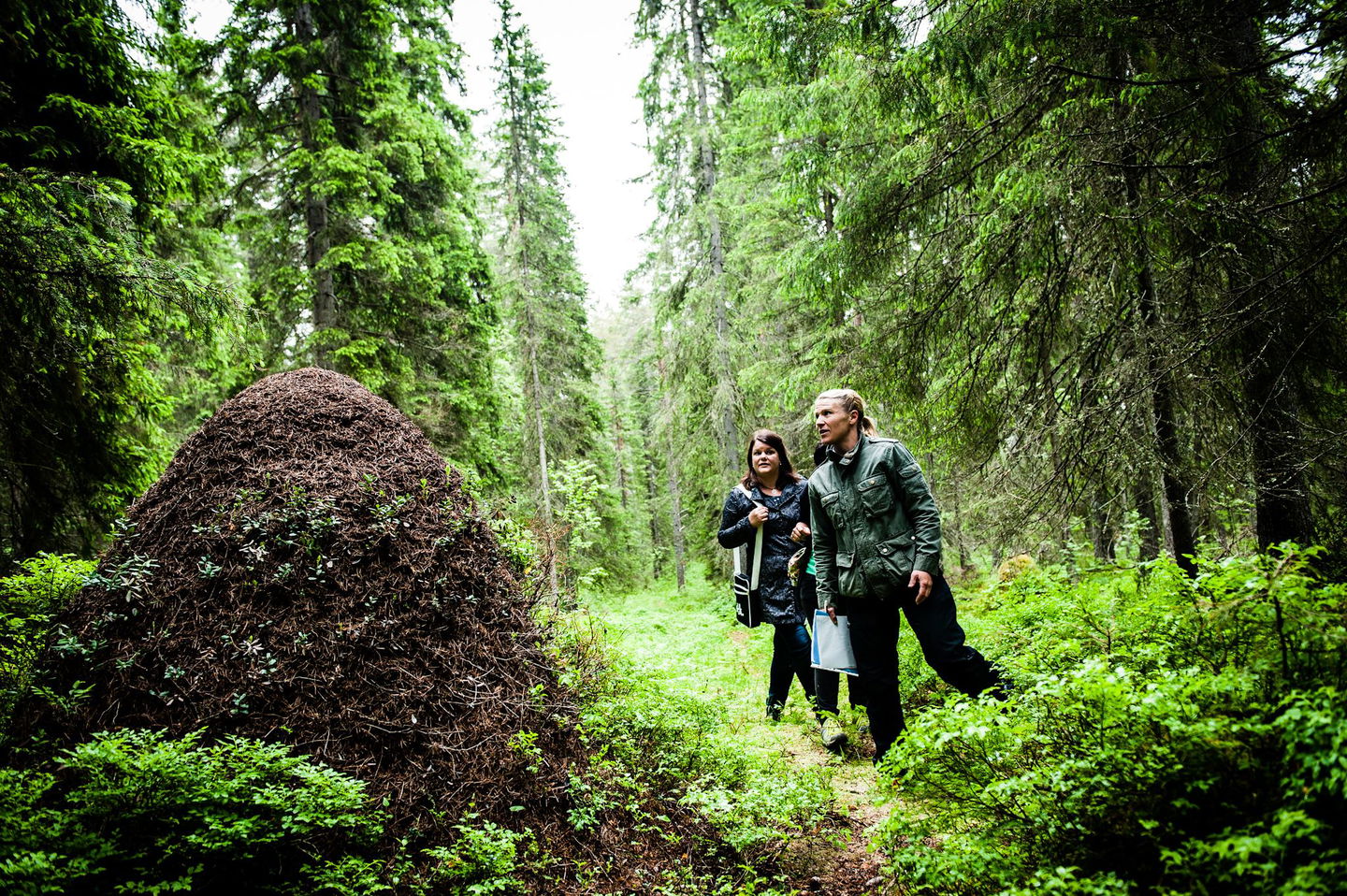
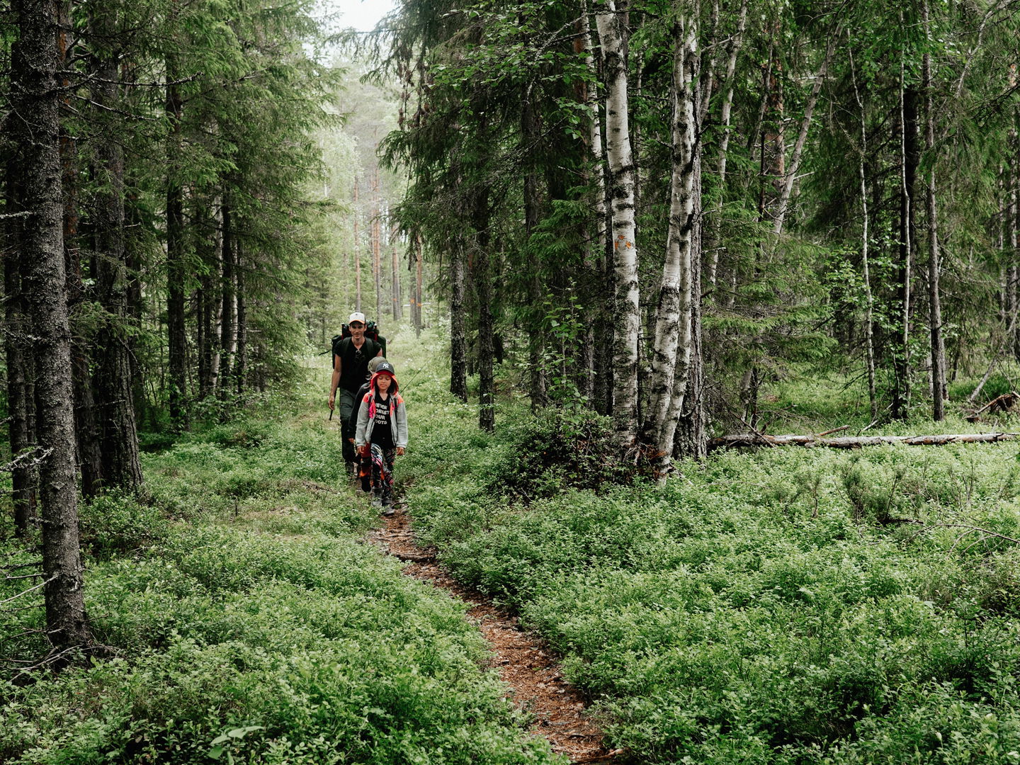
Welcome to Svarttjärn's hiking trail. Here you can hike through beautiful nature to Havsvågen and up on Lidberget, the highest mountain in the Lövånger area. Here is a large pebble field with stones lying in "waves". There is also a high lookout tower.
Działania i udogodnienia
-
Wędrówki piesze
Powierzchnia
dirt road, forest path
Parking
Start and parking in Svarttjärn is located about 1.7 km from road 774 that runs through the village. Follow the signs from the road.
Kontakt
Adres e-mail
Kundtjänst Skellefteå kommun
Logotyp organizacji

Należy pamiętać, że niektóre z tych tekstów zostały przetłumaczone automatycznie.
Pytania i Odpowiedzi
Zadaj pytanie innym użytkownikom Naturkartan.


