Arboga-Köping, St Olav Rombo Way Connection Trail 1:2
Pilgrim Trail
- County: Västmanlands län
- 6723.12 km away from you
Trail details
- Length 22.0 km
- Time 5 h 30 min
- Difficulty Green - simple
Actions
Currently
The trail is unmarked in the terrain.
Description
This stage is a connecting trail to the Rombo Way, which starts in Köping.
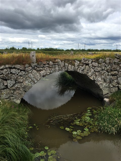
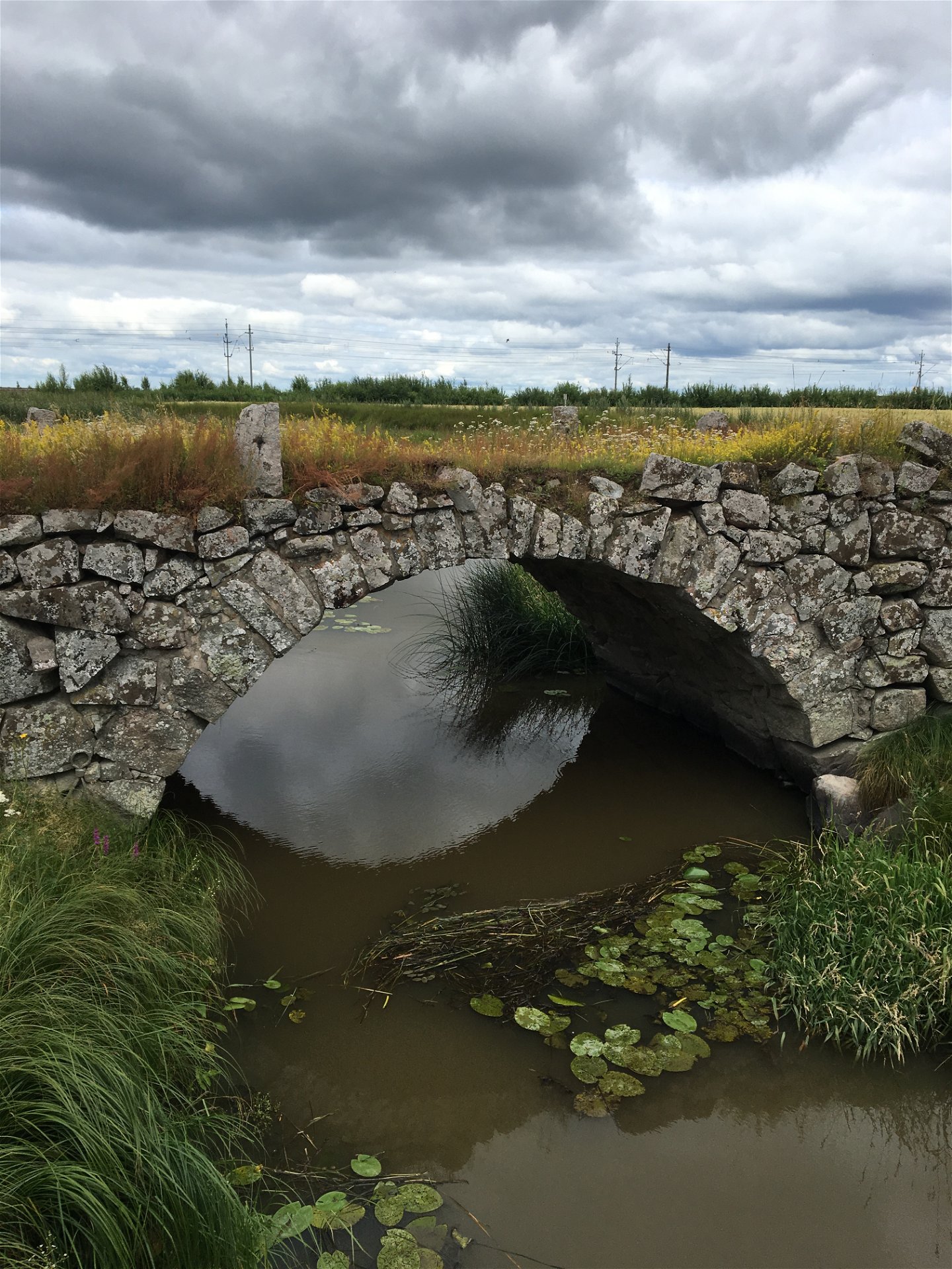
Walk along gravel roads surrounded by beautiful countryside in Mälardalen. This section can be cycled or walked. You will go from the old town of Arboga to the medieval town of Köping, which is the start of the Romboleden.
During the walk you will pass St. Olav’s Spring. According to legend Olav banged his staff on the ground and discovered water. It is however more likely that this is an old heathen sacrificial spring that was later used by the Christians.
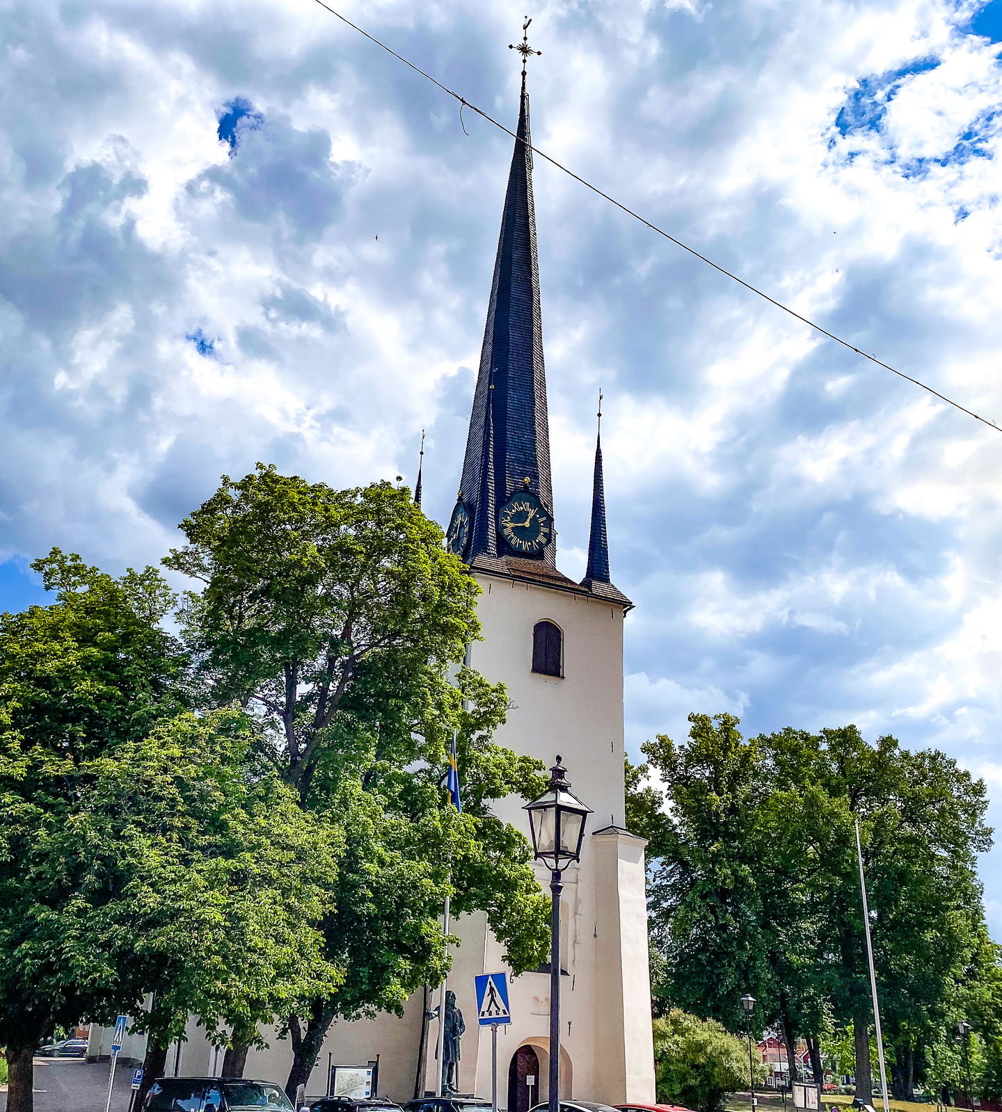
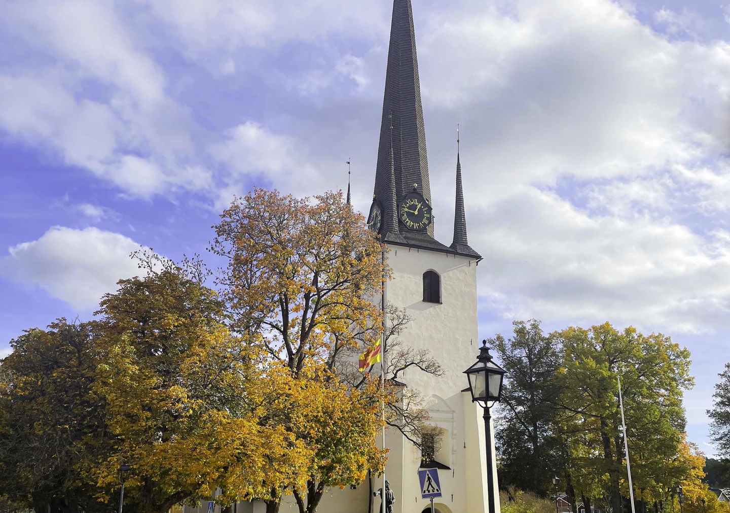
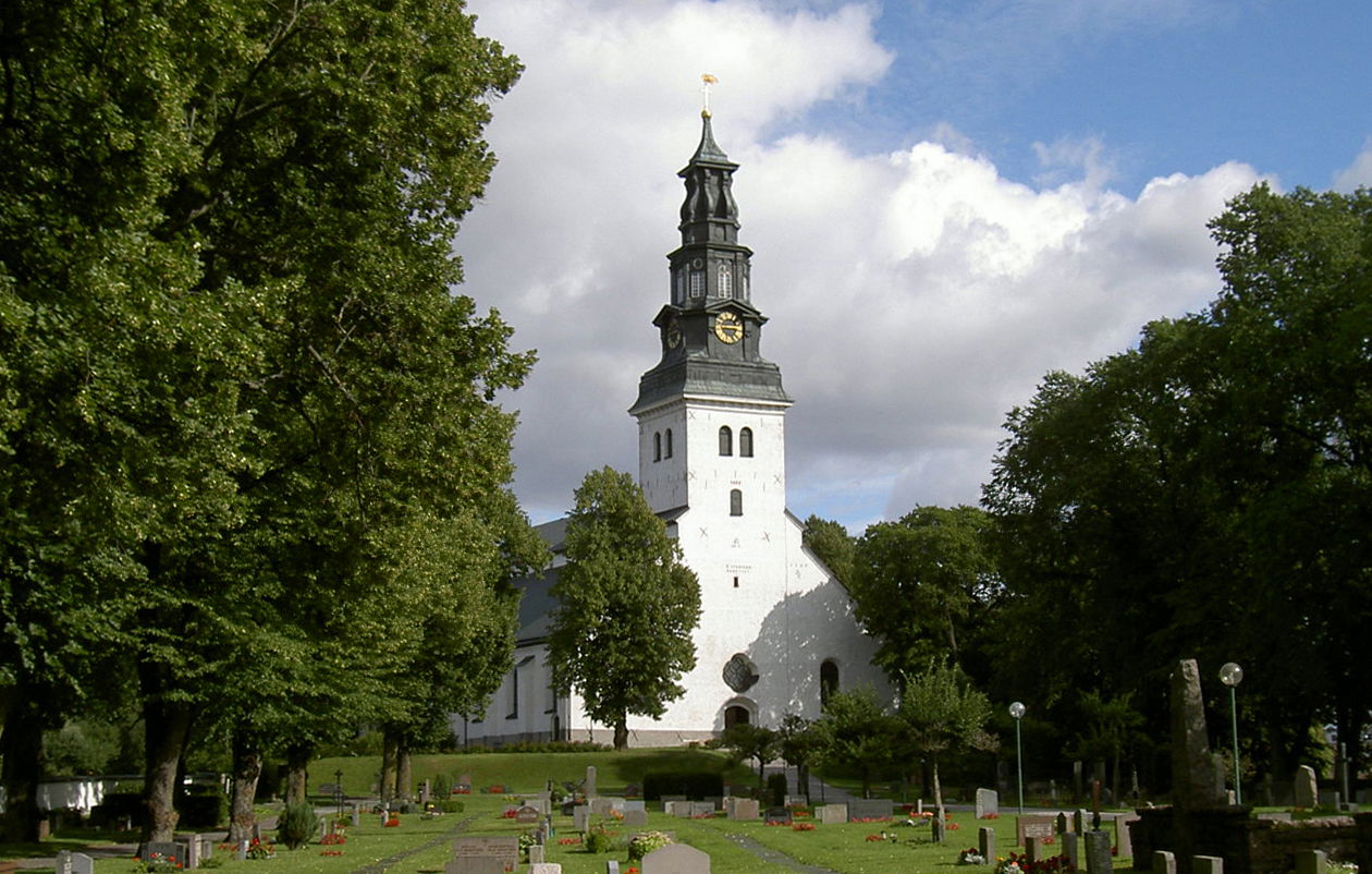
In Arboga you will find Heliga Trefaldighets kyrka, built by the Franciscans at the end of the 13th century. It contains several unique paintings.
Walk in the footsteps of the pilgrims
Romboleden (Rombo Way) is a pilgrimage route that people began using in the 11th century. The Romboleden is Sweden’s longest pilgrimage route at 900 kilometres long. It starts in Köping in Västmanland and finishes in Trondheim on the Norwegian Atlantic coast. If you walk the entire trail, you will experience a beautiful and varied landscape. You will walk on old chalet paths, over mountains with magnificent vistas and along narrow country gravel roads. You will find easy one-day walks with cafés along the way, and long treks that take several days. The route often passes through small villages.
Would you like to walk with a Pilgrim’s Passport and collect stamps from each stage? The medieval Pilgrim’s Passport allowed a pilgrim to walk in the whole of Europe without being stopped by rules or boundaries. These days it is just a nice memento. The Pilgrim’s Passport can be collected at several stage starting points and from the web page of Rombo Way.
Activities And Facilities
-
Hiking
-
Pilgrim Trail
Facts
Toilets and drinking water are available at the churches.
Surface
Mostly gravel roads and asphalt roads.
Parking
Parking at the churches.
Communications
Public transport Västmanlands lokaltrafik.
Directions
The nearest bus station for the stage start is Arboga, a 6-minute walk to the church.
The nearest bus station for the end of the stage is Torggatan in Köping, 5 minutes' walk from the church.
Regulations
As a hiker, you are responsible for finding out about any local regulations, paying attention to traffic and showing consideration for others who share the trail with you.
Whenever you visit Swedish nature you have a Right to public access. Read more about it here.
As a hiker you are sometimes walking in protected nature with specific rules and regulations. You are responsible for making sure you are following the rules. You can read more about it at the Swedish Environmental Protection Agency and the County Administrative Board.
Remember to only start camp fires in established barbecue areas and ensure that there is no fire ban in your area.
Remember that you are hiking on someone else's land and that rational agriculture or forestry may occur along the trail.
Downloads
Questions & Answers
Ask a question to other Naturkartan users.


