-

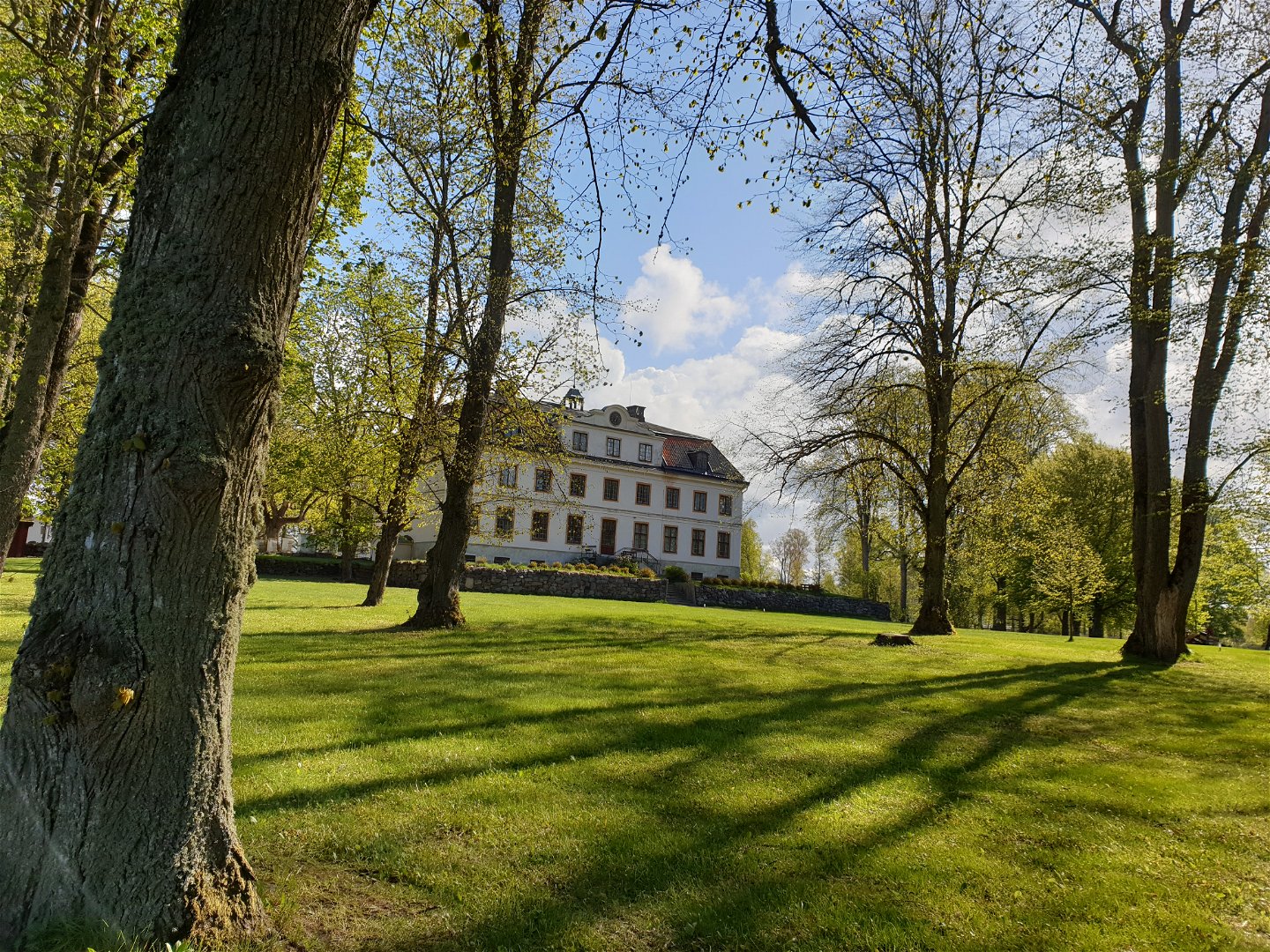
Värmlands Säby gård -

Värmlands Säby

Värmlands Säby
Hiking
- County: Västra Götalands län
- 6656.46 km away from you
Trail details
- Length 5.5 km
- Difficulty Green - simple
Actions
Description
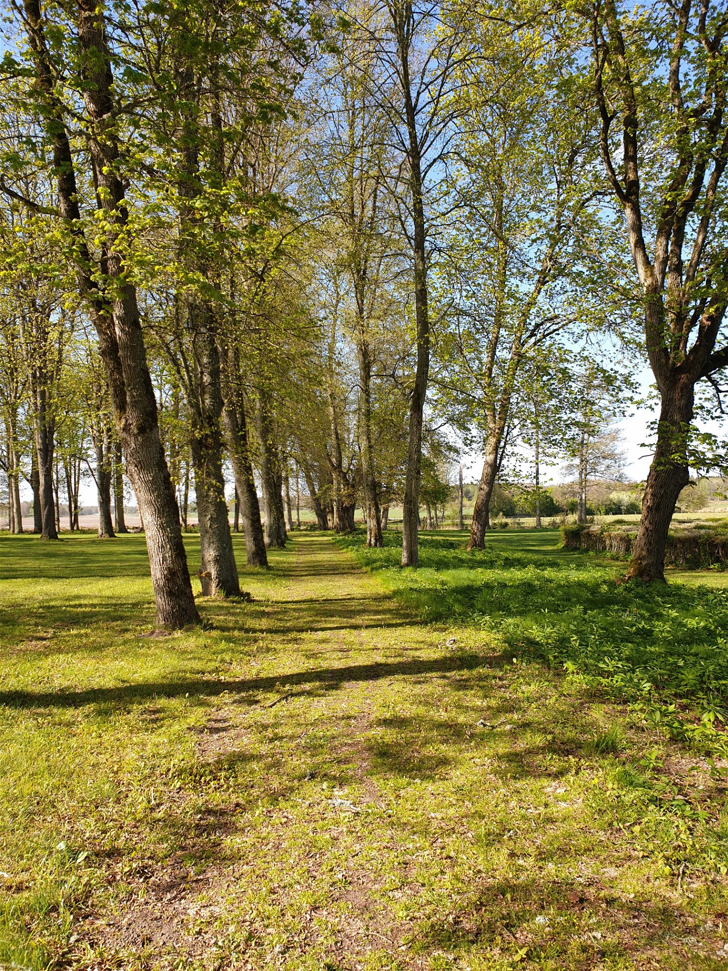
Värmlands Säby lies on land of great cultural heritage. One thousand years ago this area was owned by the monastery of Riseberga. This nature reserve has an abundance of plants, magnificent old oak trees and rich bird life. In the northern part of the reserve there is a 5 km long trail.
There are information signs at the car park and entrance of the reserve. Rest areas along the trail. Enjoy the view of Kolstrandsviken (Vänern) from Sandholmen.
Activities And Facilities
-
Hiking
Accessibility
-
 Near parking
Facts
Värmlands Säby has a variety of vegetation; temperate deciduous forest, pastures, waterlogged wooded terrain, meadows and wet meadows. The area is of national importance and is included in the Natura 2000-project (European Union). It is also classified as a wetland of international importance.
The trail passes through grazing pastures, and we ask you not to bring a dog. The area is used for hunting.
Vegetation
The nature reserve has a wide variety of natural types such as precious forests, hawklands, leafy forests, trains and strand beds.
The area is of national interest and is part of the EU’s protected nature network, Natura 2000.
Parking
Parking is connected to the nature reserve.
Directions
Från Kristinehamns kör söderut på Rv26. Efter ca 20 km, följ skylt mot Värmlands Säby. Kör genom allén och förbi herrgårdsbyggnaden, sväng vänster, rakt söderut förbi gravfältet till parkeringsficka med informationsskylt. Här börjar vandringsleden som leder dig in i norra delen av reservatet.
Contact
Address
+46 (0)550 88187
Email address
Kristinehamns turistbyrå
Organization logotype
![]()
Please be aware that some of these texts have been automatically translated.
Questions & Answers
Ask a question to other Naturkartan users.
