-
-

Kuva: Robert Ekholm -
-
-
-

-

-
-
-
-

-


Vandringsled Laxaleden syd
Vaellusreitit
- Kunta: Blekinge län
- 6384.86 km päässä sinusta
Polun yksityiskohdat
- Pituus 3.6 km
- Vaikeuksia Vihreä - yksinkertainen
Toiminnot
Kuvaus
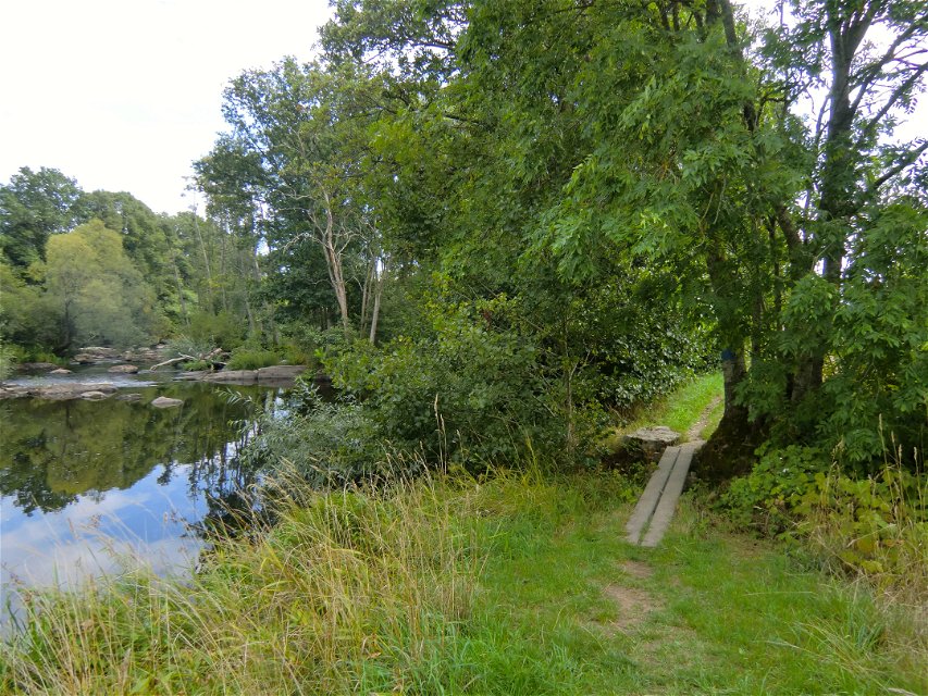
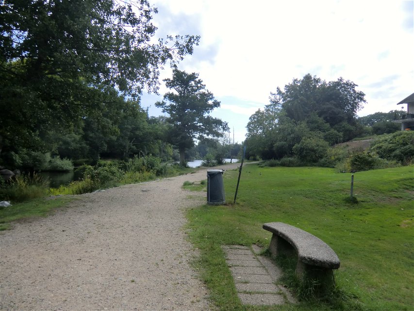
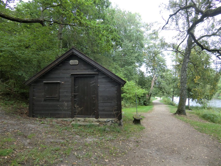
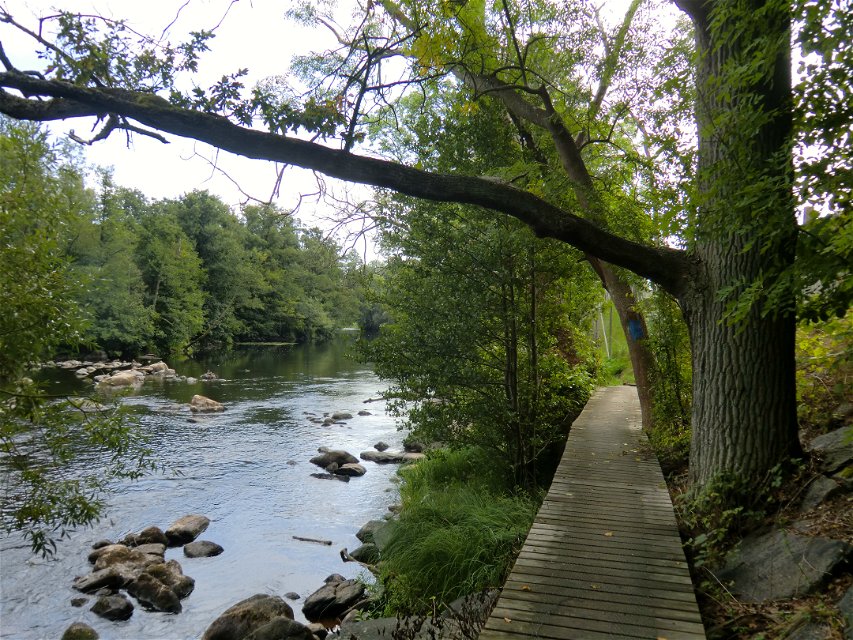
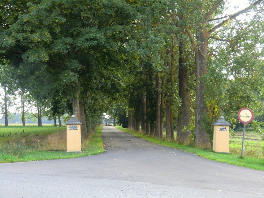
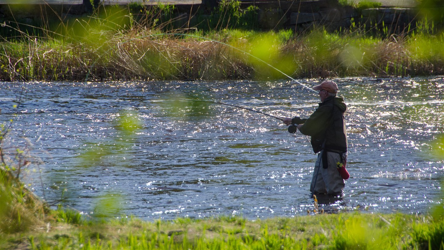
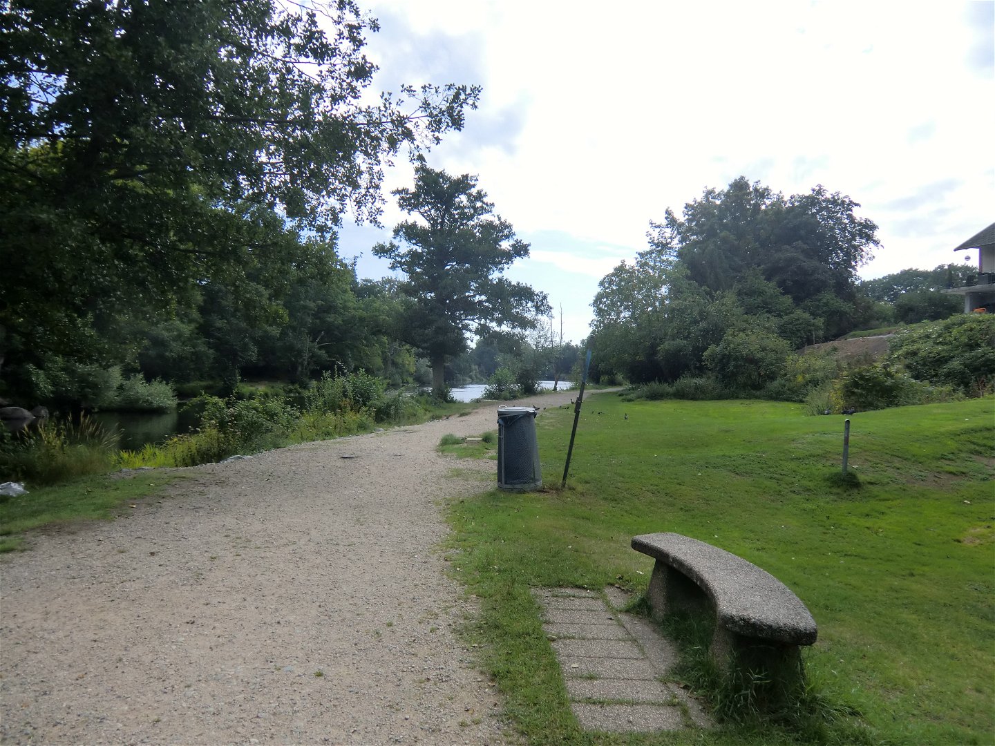
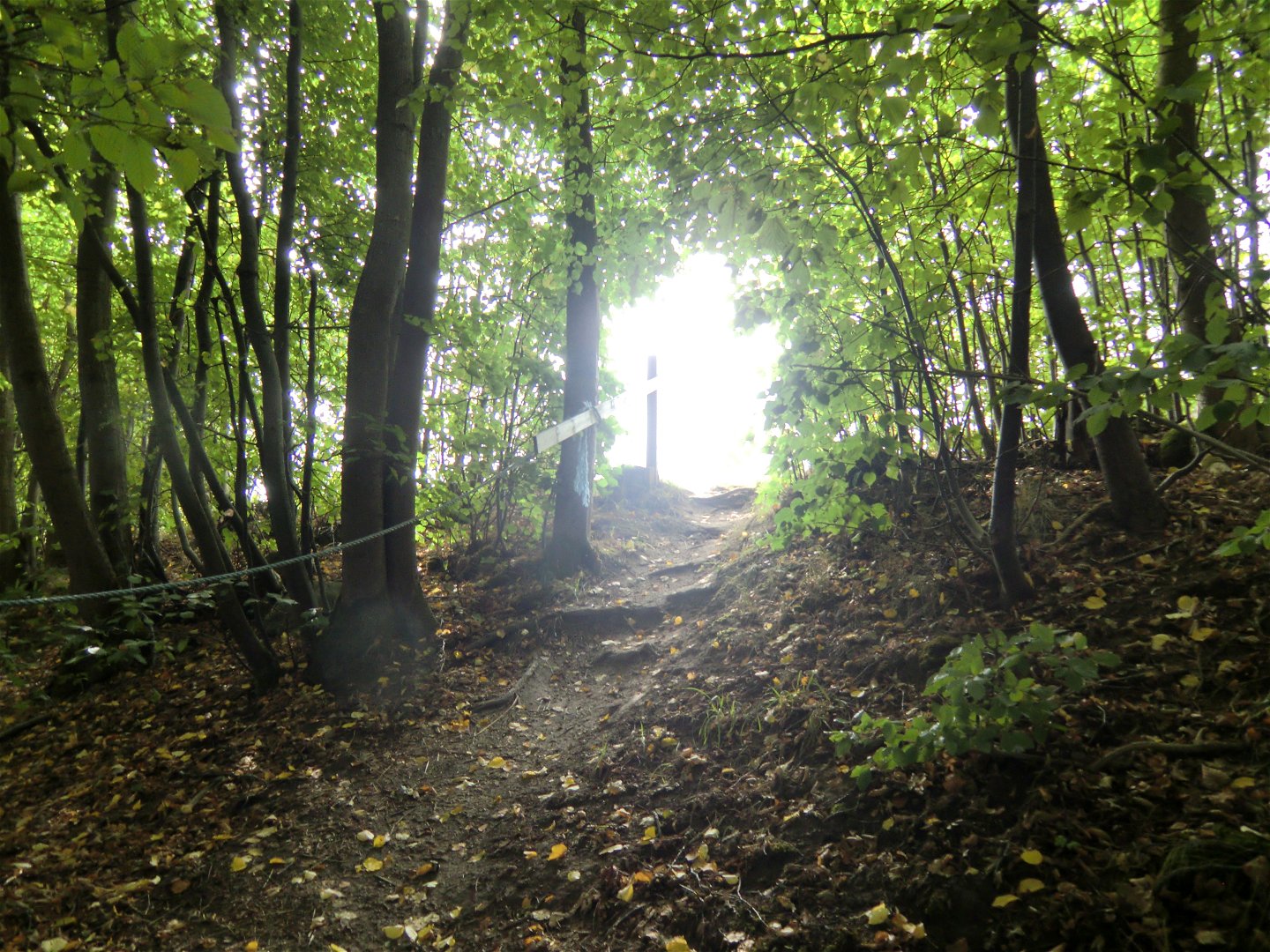
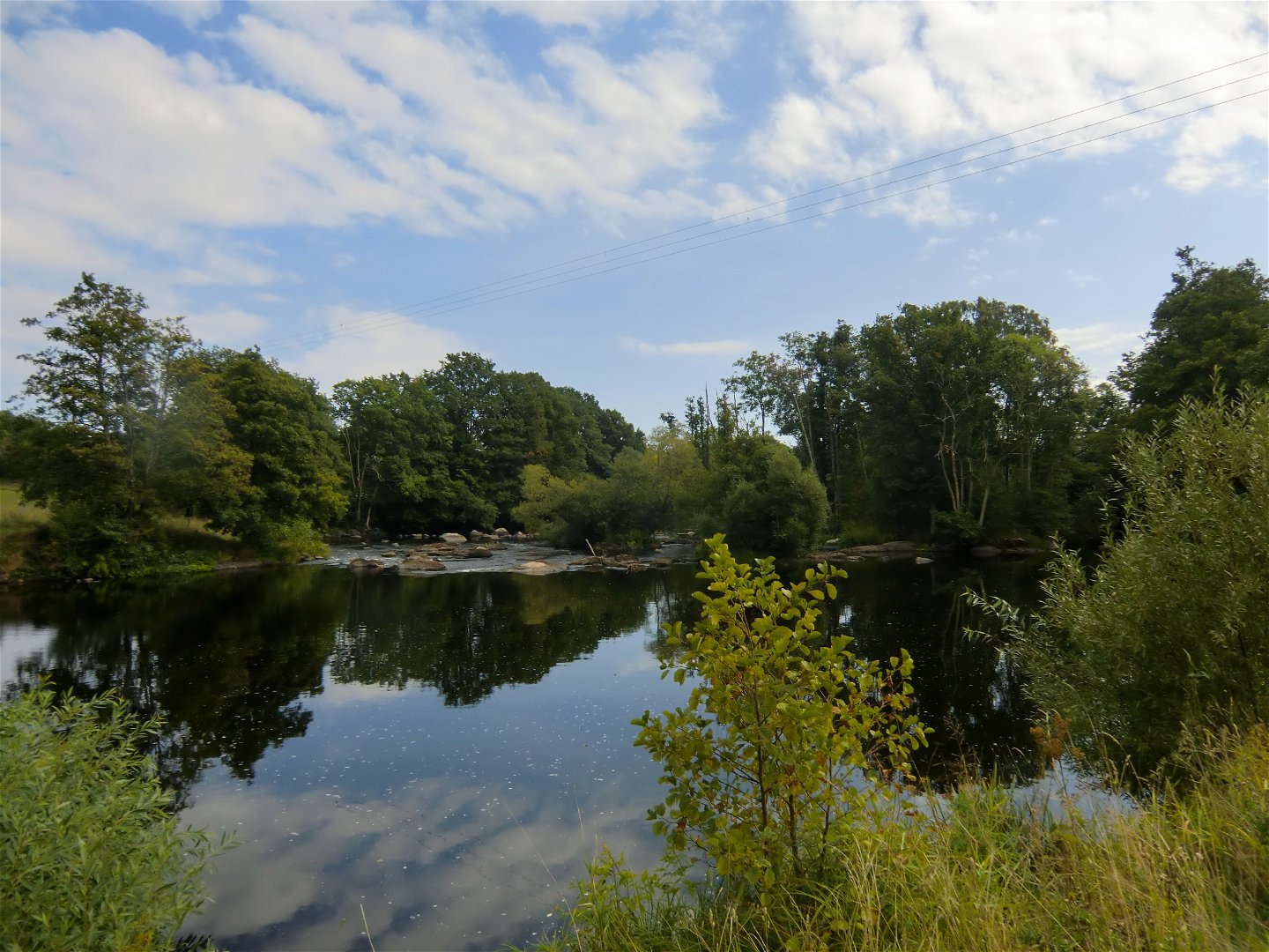
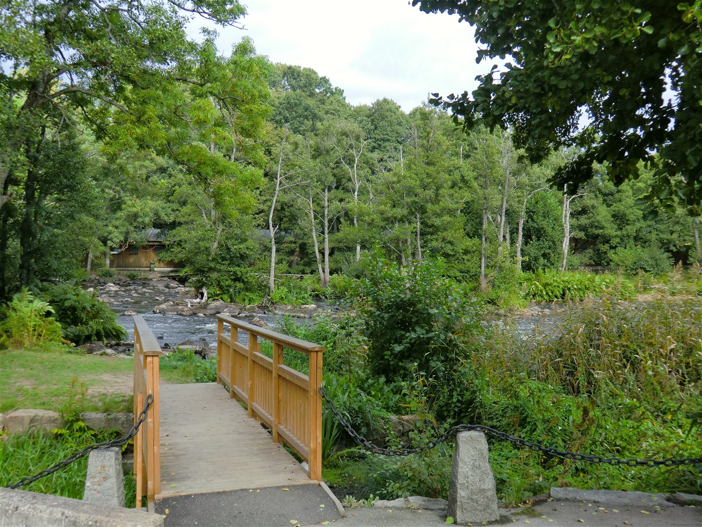
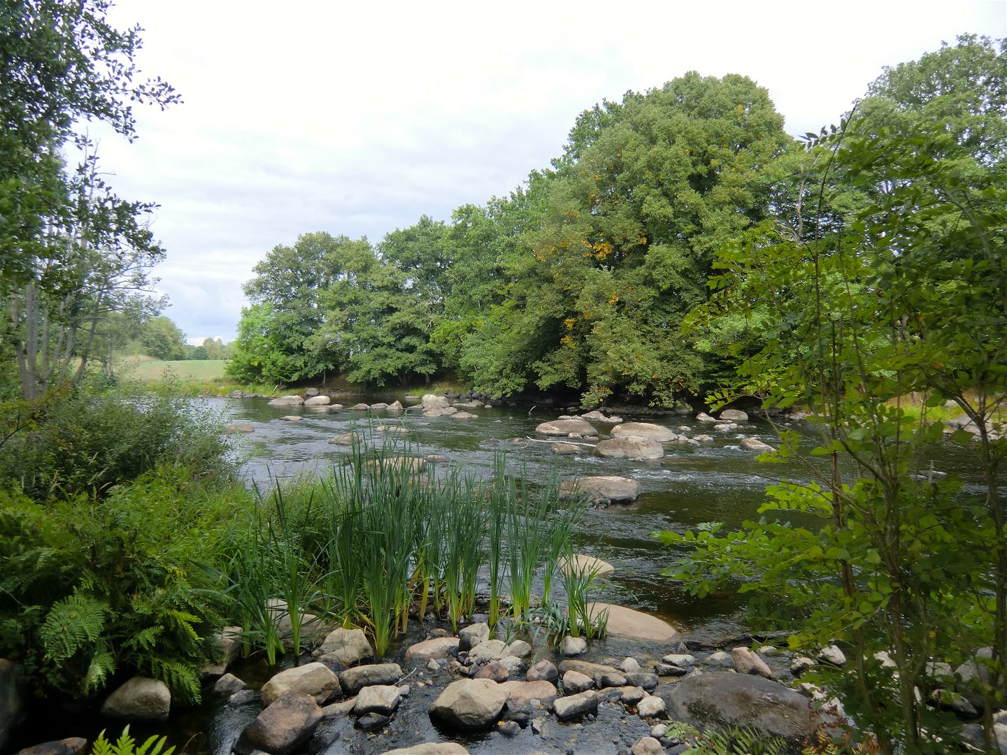
A walk that follows the Mörrumsån river, apart from at the south end where it runs through farmland. It passes the historic site of Elleholm and Mörrums Kronolaxfiske (read more via the links on the map).
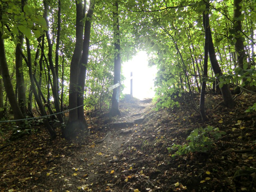
Marked in blue all the way. There are fewer signposts in the south but the route there is easy to follow.
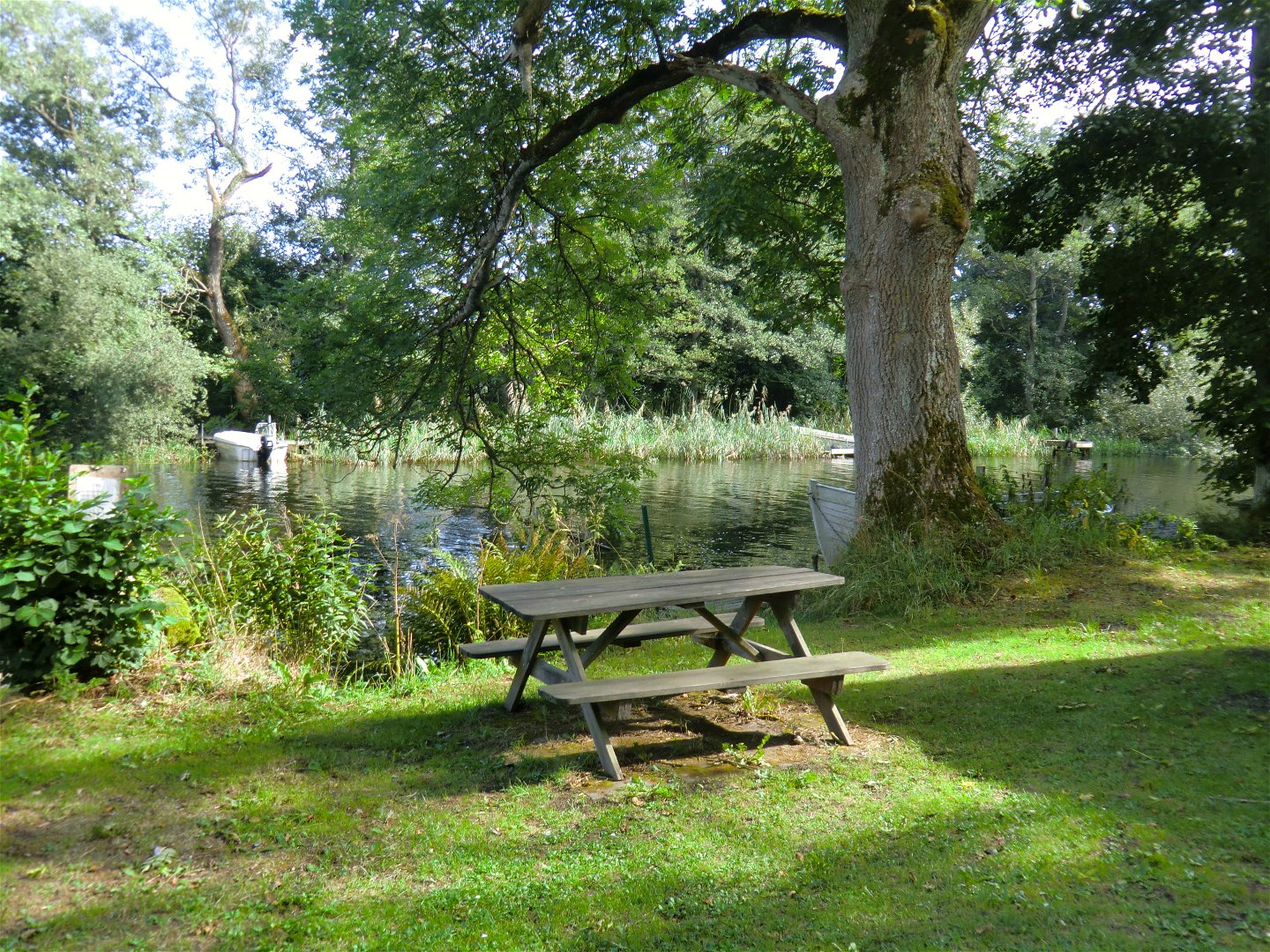
Toimintaa ja tilat
-
Vaellusreitit
Pinta
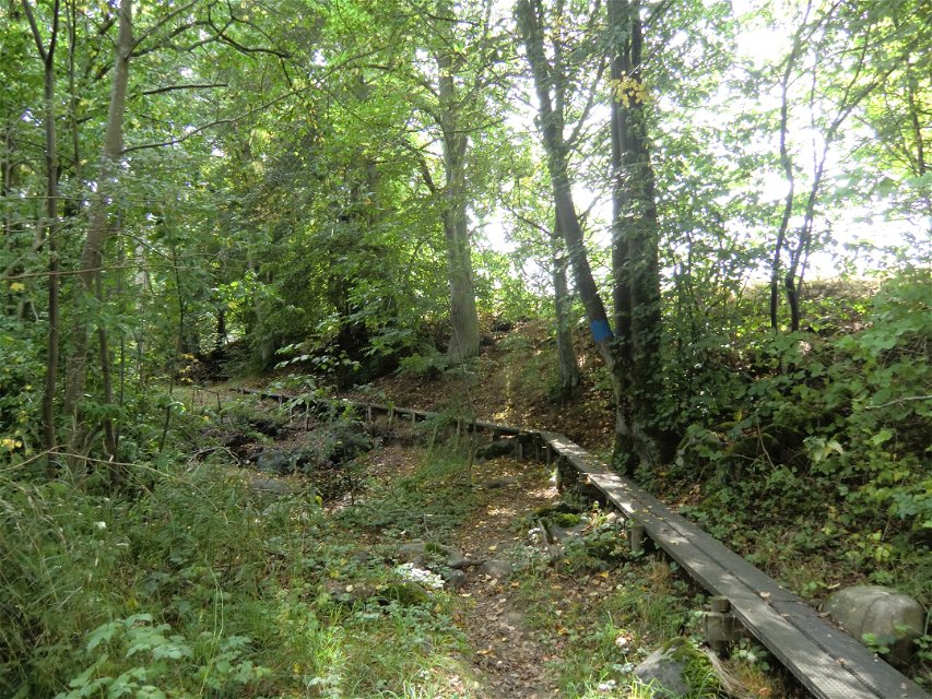
Gravel path in the north, wooden boardwalks and beach path in the middle and road at the far south. Disabled-friendly from Mörrums Kronolaxfiske down to the railway bridge over Mörrumsån. The rest of the route has many wooden boardwalks along steep beach edges.
Lataukset
Ota yhteyttä
Sähköpostiosoite
Karlshamns kommun Servicecenter
Organisaation logotyyppi
![]()
Huomaa, että osa näistä teksteistä on käännetty automaattisesti.
Kysymykset & vastaukset (Q&A)
Esitä kysymys muille Naturkartan-käyttäjille.
