-
-

Foto: Robert Ekholm -
-
-
-

-

-
-
-
-

-


Vandringsled Laxaleden syd
Hiking
- Regio: Blekinge län
- 6845.64 km van u vandaan
Pad details
- Lengte 3.6 km
- Moeilijkheidsgraad Groen - eenvoudig
Acties
Omschrijving
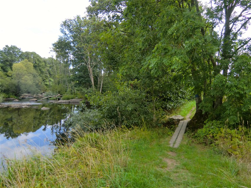
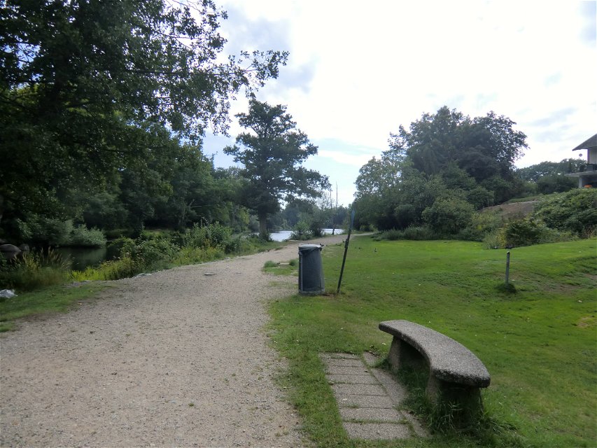
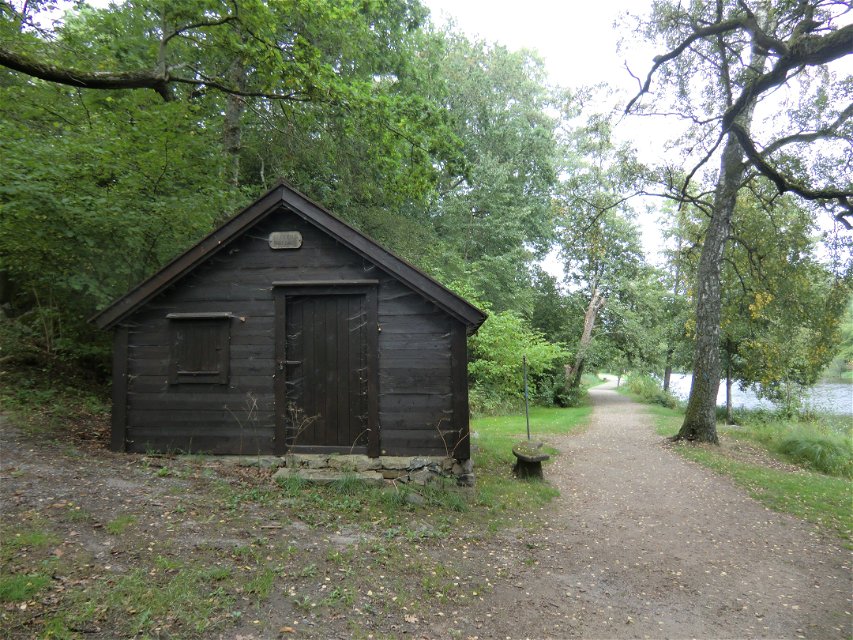
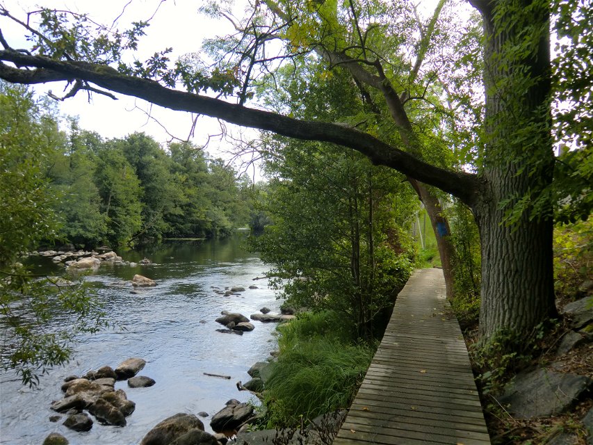
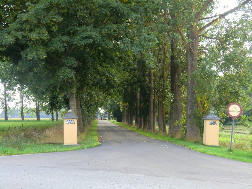
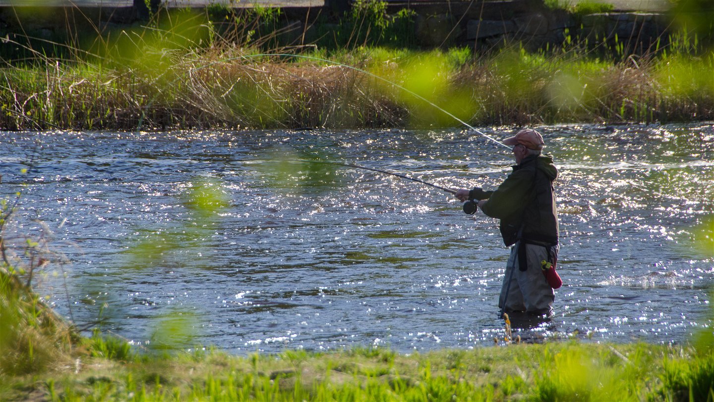
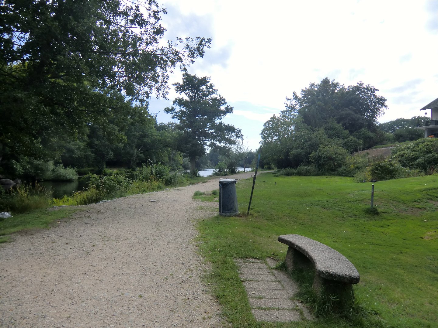
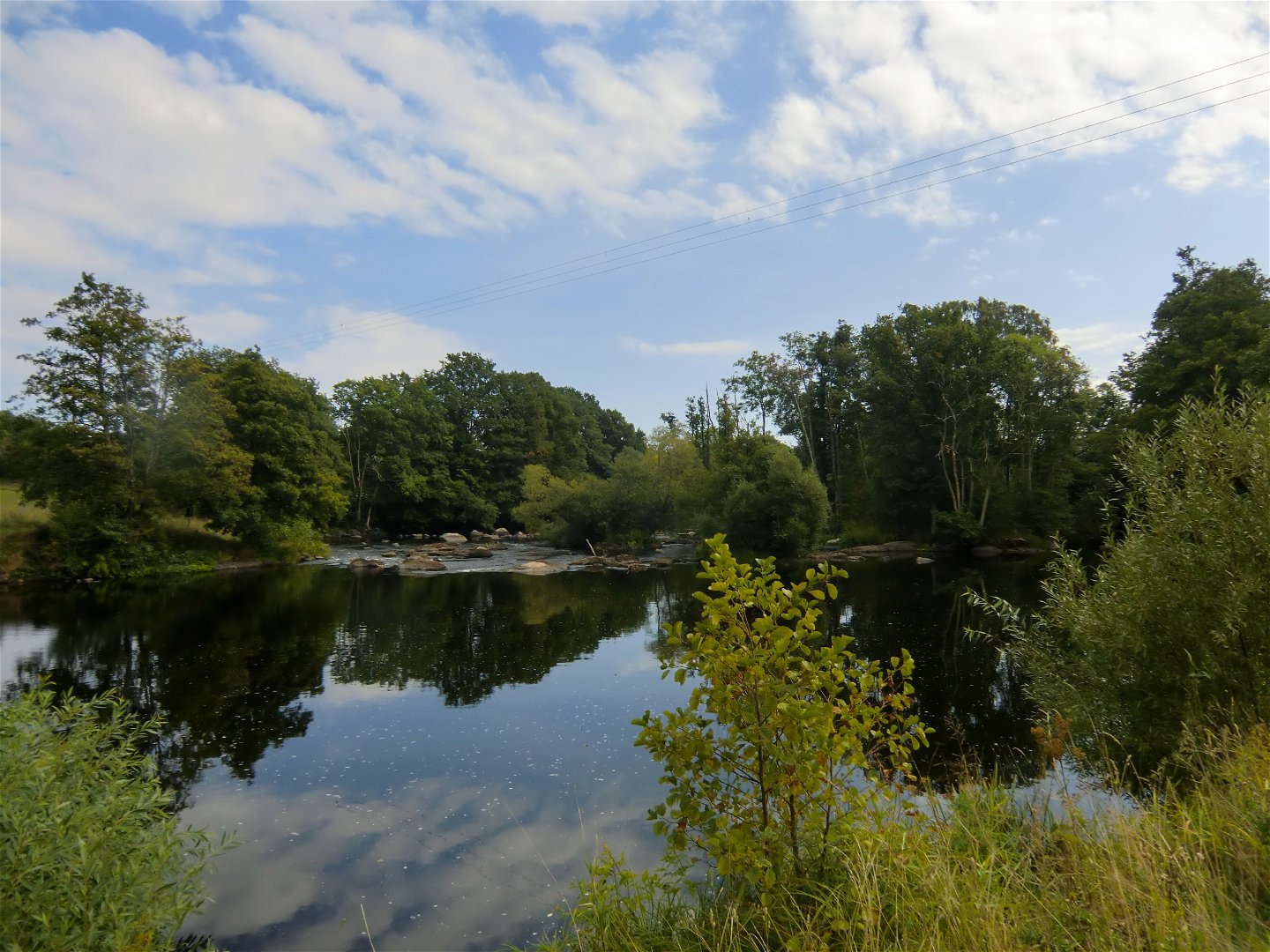
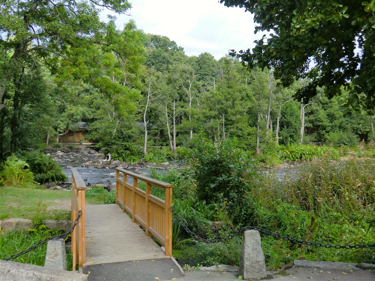
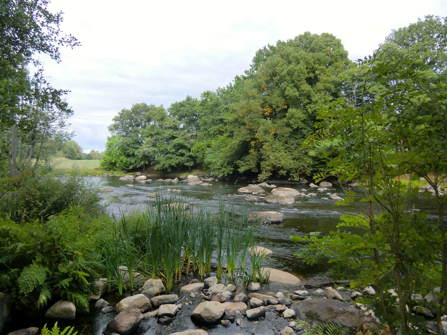
A walk that follows the Mörrumsån river, apart from at the south end where it runs through farmland. It passes the historic site of Elleholm and Mörrums Kronolaxfiske (read more via the links on the map).
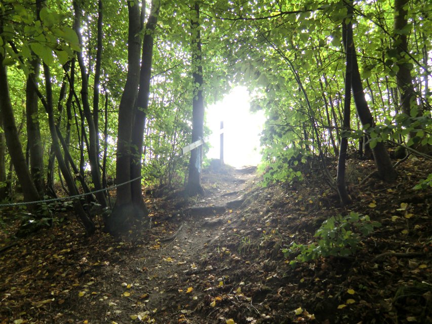
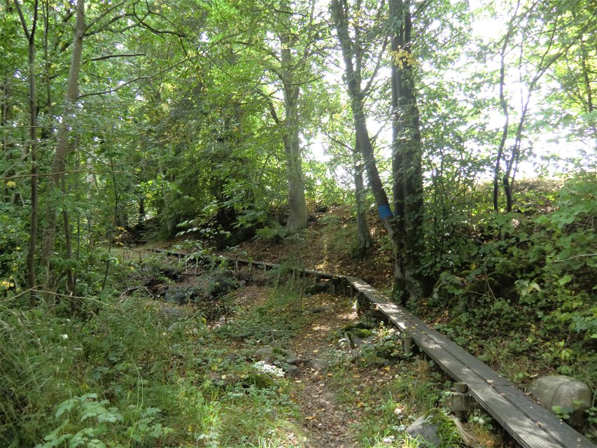
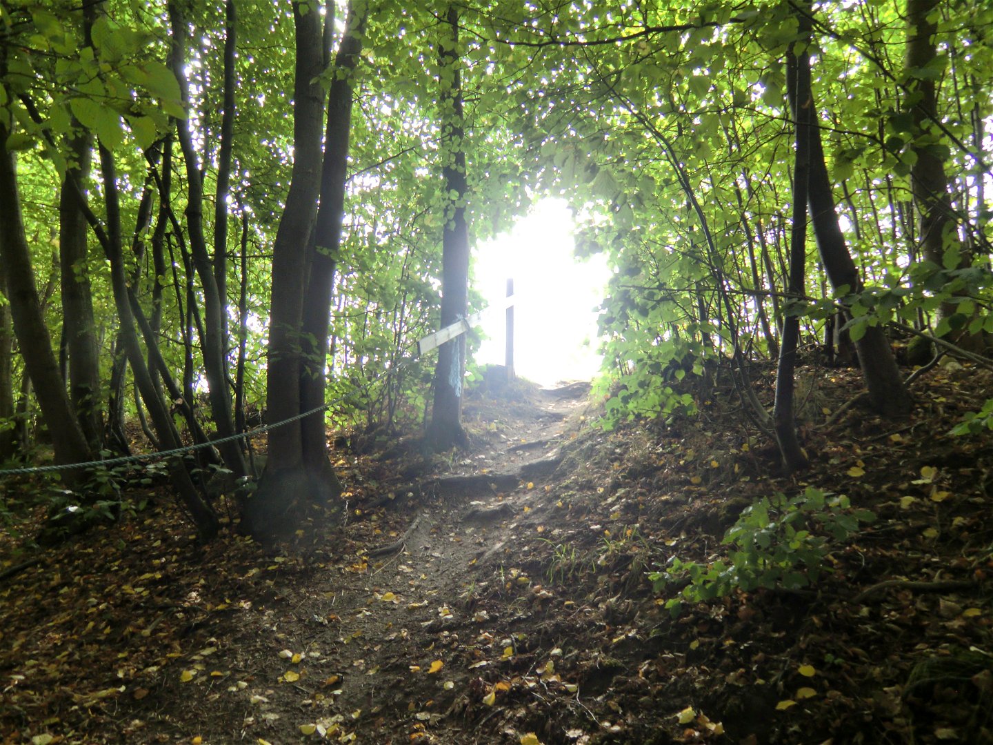
Marked in blue all the way. There are fewer signposts in the south but the route there is easy to follow.
Activiteiten en faciliteiten
-
Hiking
Oppervlakte
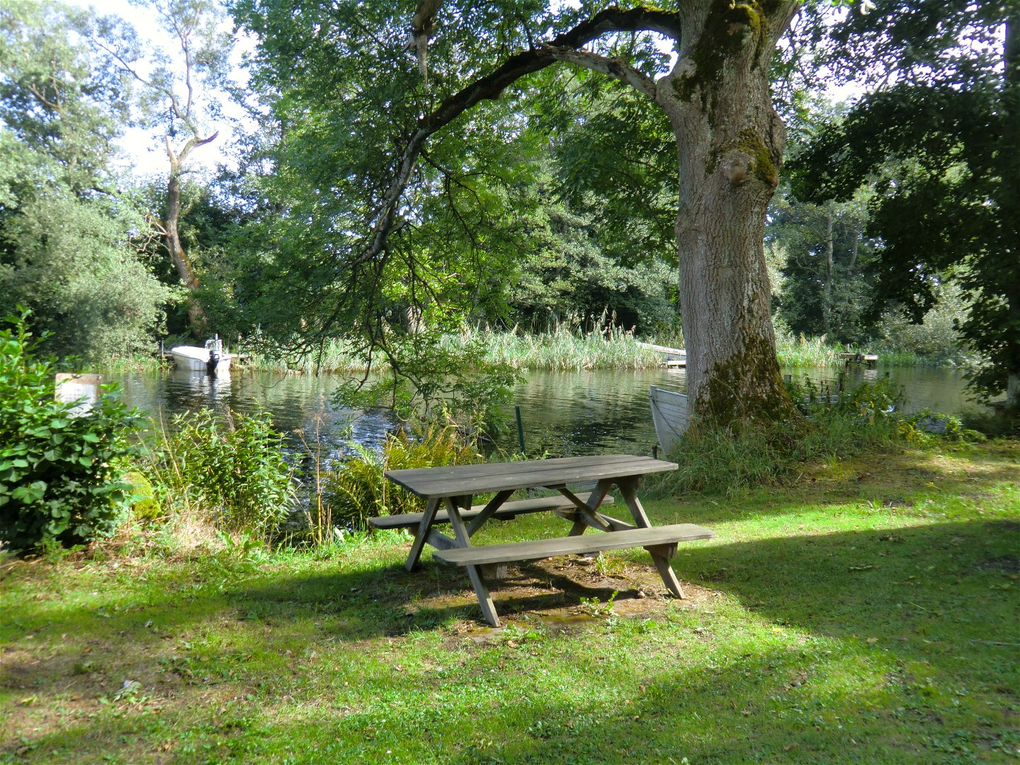
Gravel path in the north, wooden boardwalks and beach path in the middle and road at the far south. Disabled-friendly from Mörrums Kronolaxfiske down to the railway bridge over Mörrumsån. The rest of the route has many wooden boardwalks along steep beach edges.
Downloads
Contact
E-mailadres
Karlshamns kommun Servicecenter
Organisatie-logotype
![]()
Houd er rekening mee dat sommige teksten automatisch zijn vertaald.
Vragen en antwoorden
Stel een vraag aan andere Naturkartan gebruikers.
