Siljansnäs - Åsengården, Romboleden Etapp 14
Pilgrimsled
- Kunta: Dalarnas län
- 6589.72 km päässä sinusta
Polun yksityiskohdat
- Pituus 21.0 km
- Aika 7 h
- Vaikeuksia Sininen - keskikokoinen
Toiminnot
Kuvaus
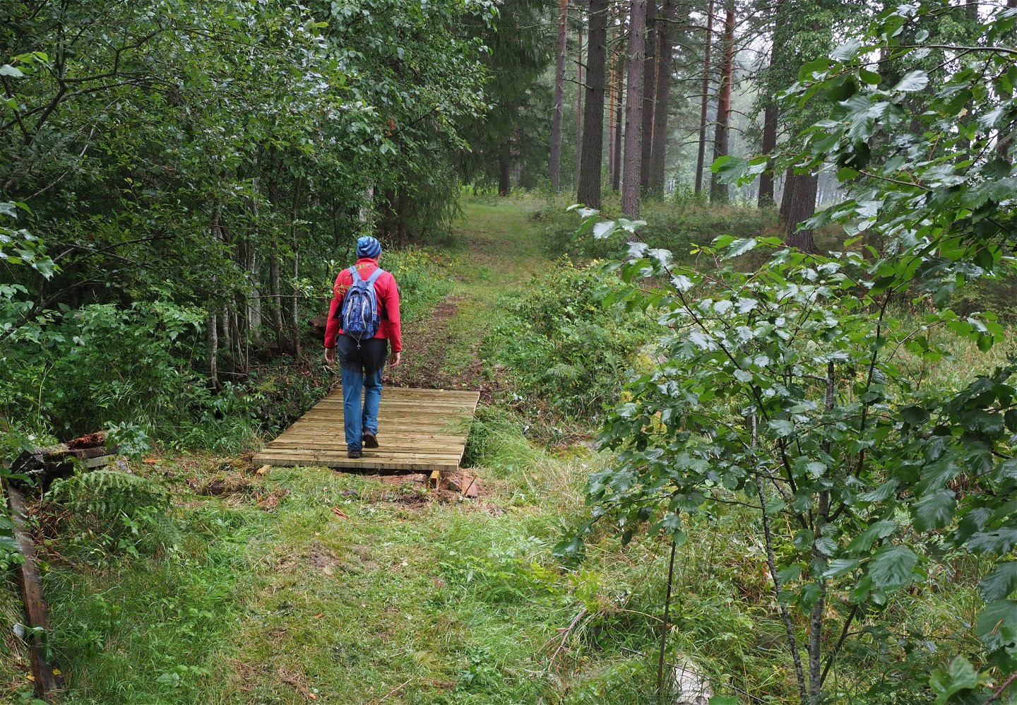
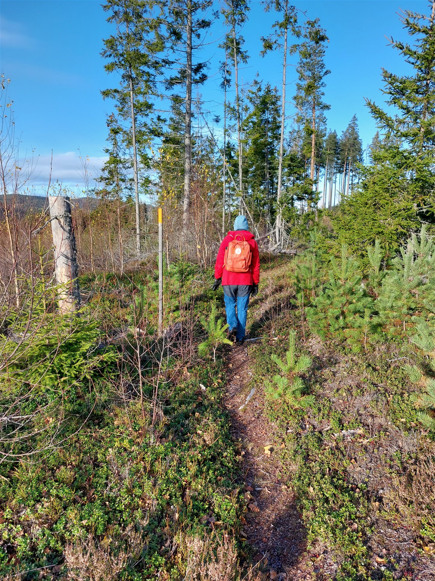
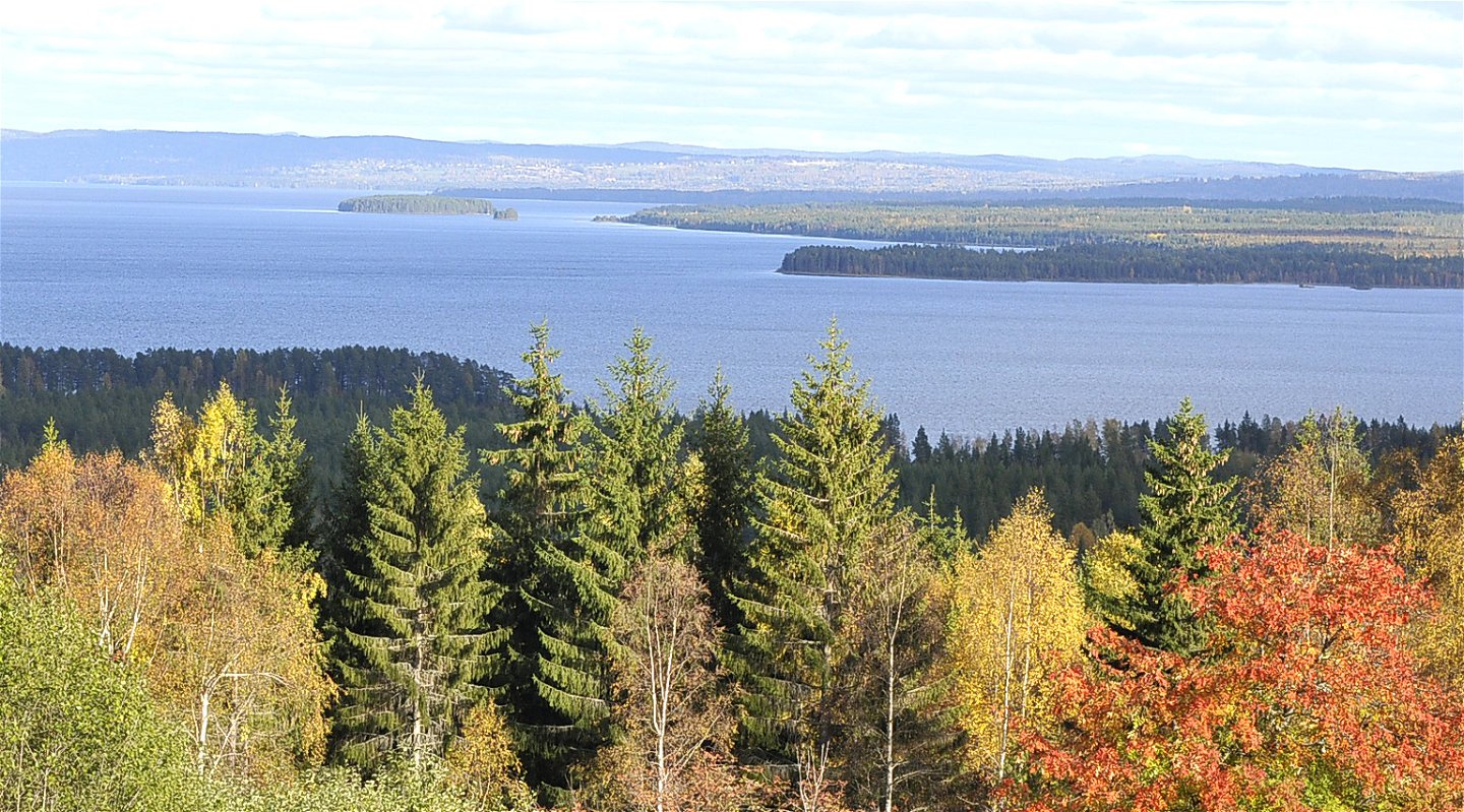
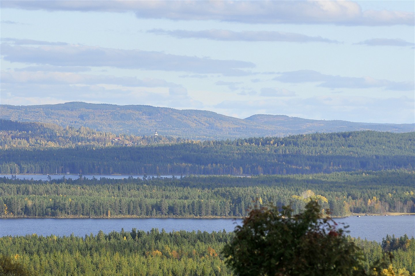
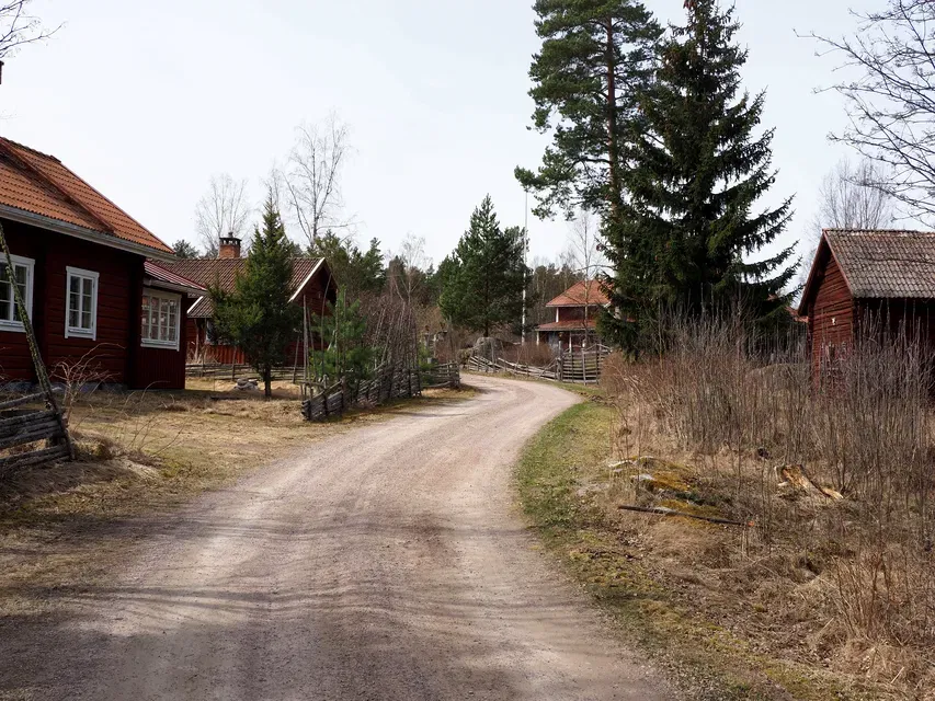
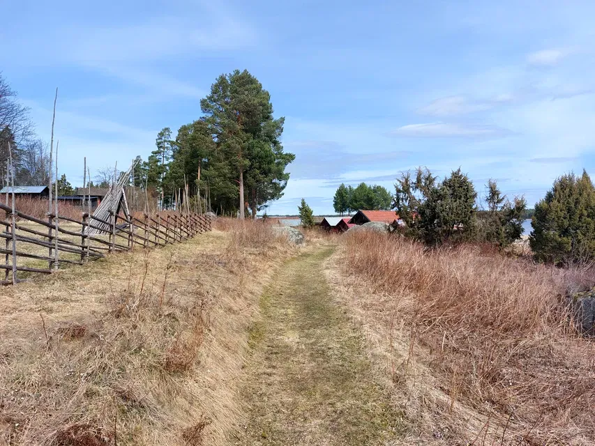
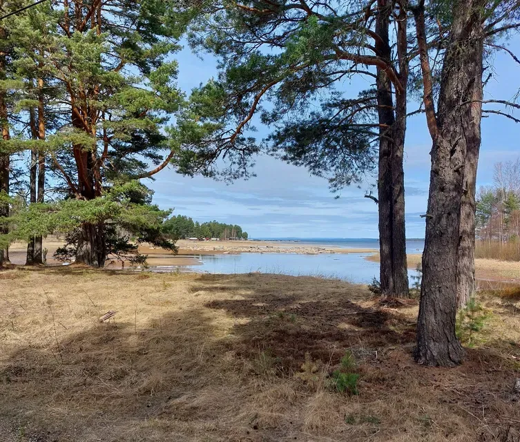
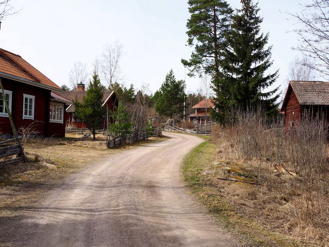
Experience beautiful environs and historical culture. You walk between the villages of Siljansnäs, on paths through the woods, past chalets and high up with a view over lake Siljan. The trail runs on gravel roads and forest paths. By Åsengården the path is steep for about one kilometre.
You pass Limå works, an old iron works that was sited here because of the forest – making iron uses a lot of coal. The iron ore had to be transported here. Today the blast furnace building, and the large manor house remain.
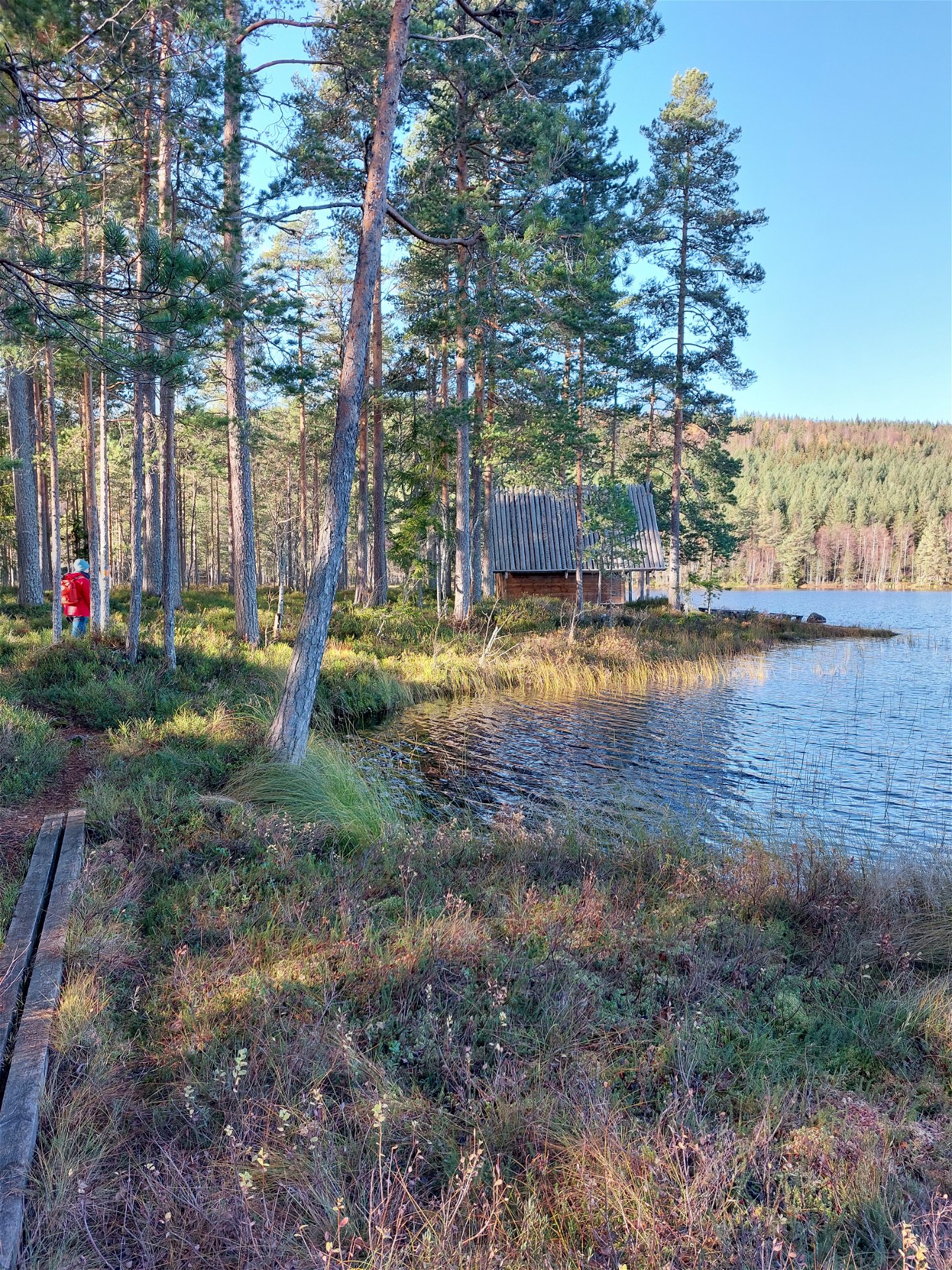
The Pilgrim’s Chapel has a lovely setting by Svarttjärnen lake. Have a bath, “fika” or just enjoy the stillness.
Read more about the stage
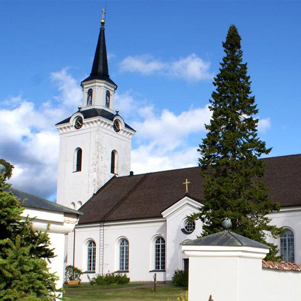
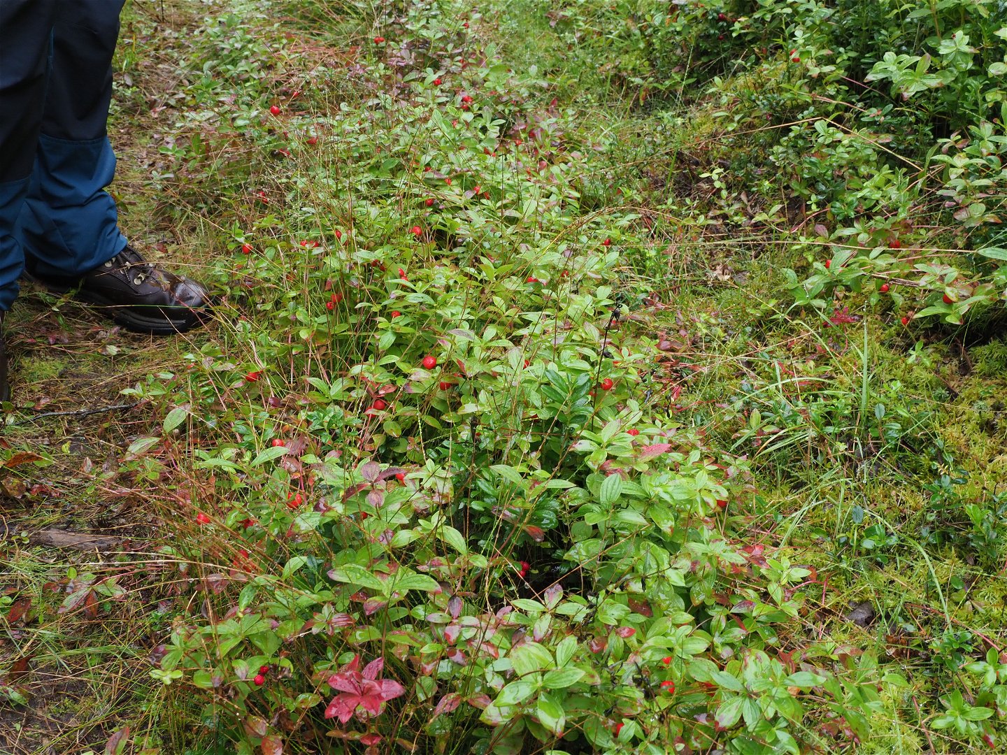
The stage takes you from Siljansnäs towards Olsnäsgården, from there the stage goes through the forest to Limåviken. Anyone who pays attention can find the a dwarf cornel plant, which is not at all common in these parts of Sweden. The path continues along Limåviken to Limå bruk, a culturally and historically exciting place where there was life and movement when the business was up and running.
The stage then follows the gravel road until Jobsarbo and from here the Romboleden and Siljansleden follow the same route to Åsengården. Along the road from Jobsarbo to Åsengården, you pass three sheds (wind shelters) where it is good to rest. It can be good to fill up with energy because it leads uphill, first to Hjulbäcksåsen with a magnificent view of Siljansbygden. After that, it is a gentle descent to Svarttjärn, where perhaps the area's finest shelter is located. Take the opportunity to take a break, and perhaps a bath, at Svarttjärn.
Then follows - by the standards of the Siljan region - a long and steep uphill to Åsengården.
Walk in the footsteps of the pilgrims
Romboleden (Rombo Way) is a pilgrimage route that people began using in the 11th century. The Romboleden is Sweden’s longest pilgrimage route at 900 kilometres long. It starts in Köping in Västmanland and finishes in Trondheim on the Norwegian Atlantic coast. If you walk the entire trail, you will experience a beautiful and varied landscape. You will walk on old chalet paths, over mountains with magnificent vistas and along narrow country gravel roads. You will find easy one-day walks with cafés along the way, and long treks that take several days. The route often passes through small villages.
Would you like to walk with a Pilgrim’s Passport and collect stamps from each stage? The medieval Pilgrim’s Passport allowed a pilgrim to walk in the whole of Europe without being stopped by rules or boundaries. These days it is just a nice memento. The Pilgrim’s Passport can be collected at several stage starting points and from the web page of Rombo Way.
Toimintaa ja tilat
-
Vaellusreitit
-
Pilgrimsled
Faktat
Toilet and drinking water at Siljansnäs church and at Olnäsgården and Åsengården.
Overnight at Olnäsgården and Åsengården.
Wind shelter next to the pilgrim chapel at the lake Svarttjärn.
Pinta
Mostly gravel roads and forest paths.
Hills
Hilly terrain from Limå to Åsen.
Pysäköinti
Parking is available both at Siljansnäs Church, Olsnäsgården and at Åsengården.
Viestintä
Public transport Dalatrafik.
Reittiohjeet
The nearest bus station for the stage start is Siljansnäs school, 3 minutes' walk from the church.
There is no public transport for the end of the stage at Åsengården.
Asetukset
As a hiker, you are responsible for finding out about any local regulations, paying attention to traffic and showing consideration for others who share the trail with you.
Whenever you visit Swedish nature you have a Right to public access. Read more about it here.
As a hiker you are sometimes walking in protected nature with specific rules and regulations. You are responsible for making sure you are following the rules. You can read more about it at the Swedish Environmental Protection Agency and the County Administrative Board.
Remember to only start camp fires in established barbecue areas and ensure that there is no fire ban in your area.
Remember that you are hiking on someone else's land and that rational agriculture or forestry may occur along the trail.
Lataukset
Huomaa, että osa näistä teksteistä on käännetty automaattisesti.
Kysymykset & vastaukset (Q&A)
Esitä kysymys muille Naturkartan-käyttäjille.


