-
Kuva: Tomas Utsi -

-

-
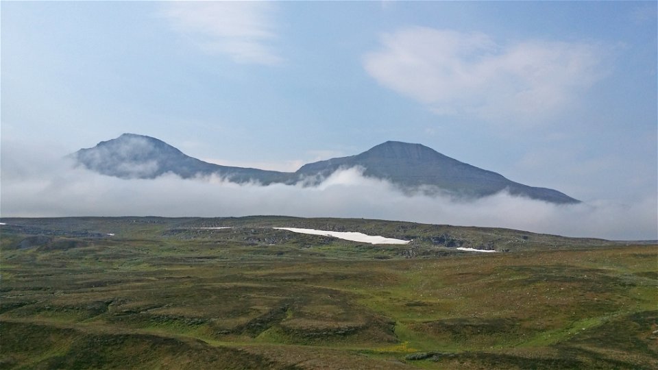

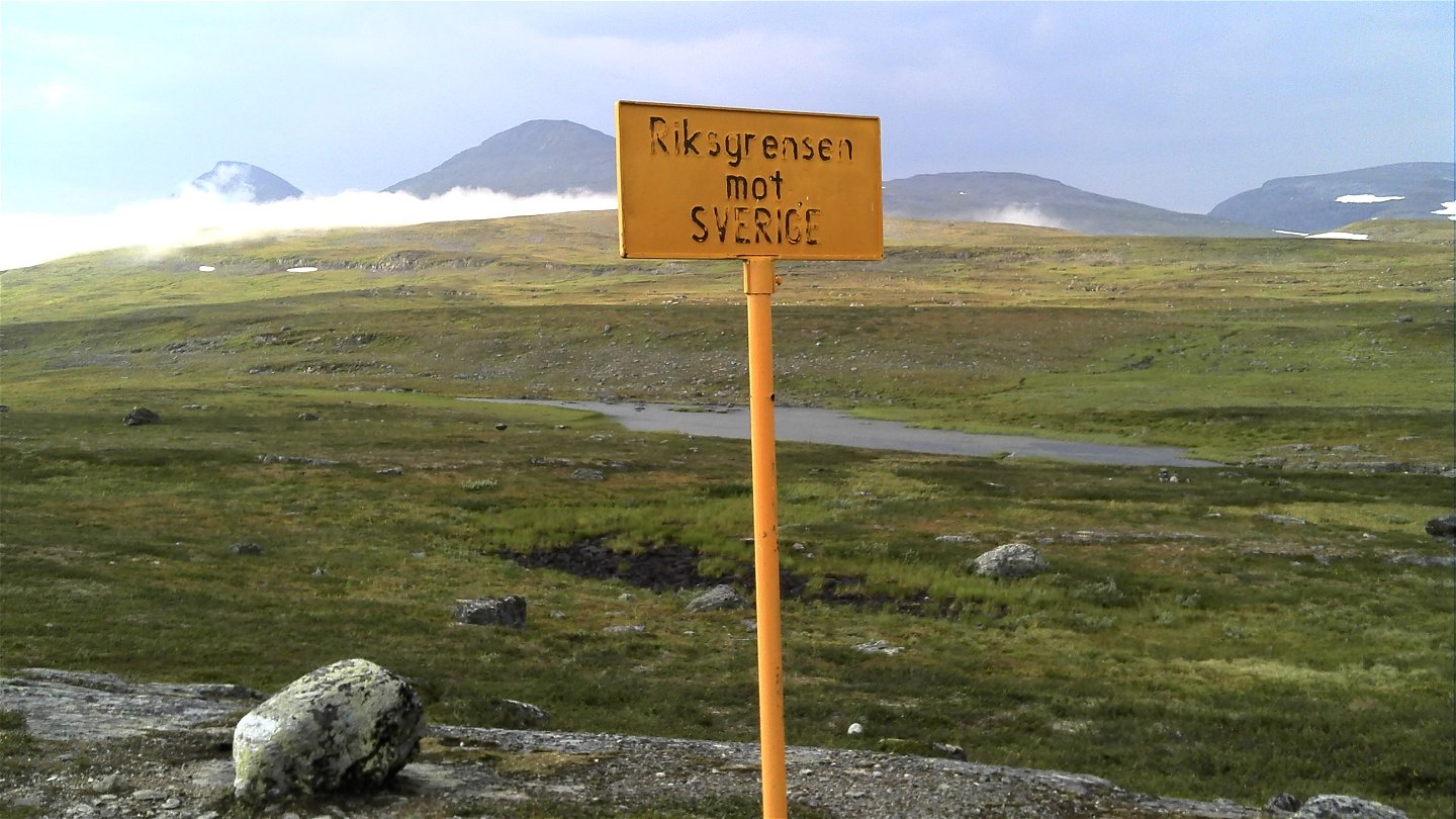


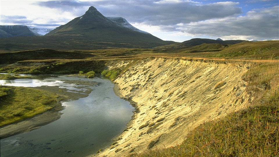
Gappo-Pältsa
Vaellusreitit
- Kunta: Norrbottens län
- 6395.74 km päässä sinusta
Polun yksityiskohdat
- Pituus 11.0 km
Toiminnot
Kuvaus
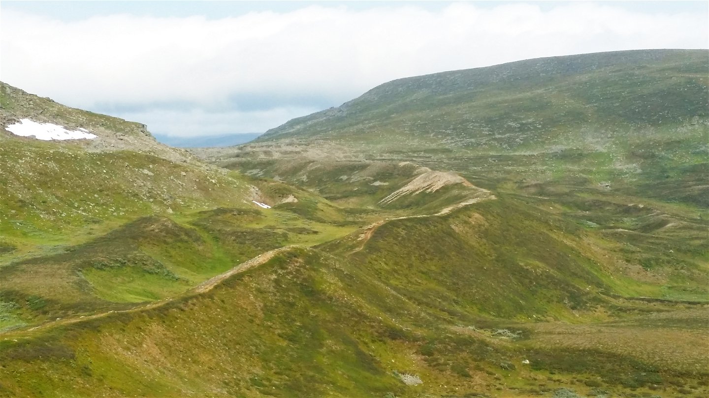
The trail leads across the tundra in the northernmost corner of Sweden. The route offers a very easy hike and runs through a valley with beautiful views to the north and west. The trail follows high moraine ridges almost all the way. Gradually, Sweden's northernmost high mountain, Pältsan, comes into view. One can find the botanic rarity Laestadius Poppy (papaver laestadianum) on the mountain slopes. Towards the end of the hike, the landscape opens up and the trail reaches the Pältsa cabin, standing on a wide-open mountain moor. The area is rich in birdlife and has unusual flora.
Duration: 3-5 hours
Toimintaa ja tilat
-
Vaellusreitit
Pinta
Easy hiking, mostly along moraine ridges and across brush moors.
Ota yhteyttä
Sähköpostiosoite
Länsstyrelsen Norrbotten
Organisaation logotyyppi
![]()
Huomaa, että osa näistä teksteistä on käännetty automaattisesti.
Kysymykset & vastaukset (Q&A)
Esitä kysymys muille Naturkartan-käyttäjille.
