-
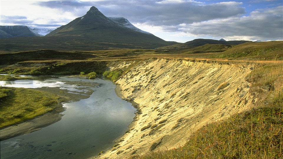
Foto: Tomas Utsi -

-

-
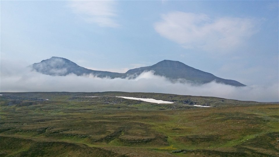

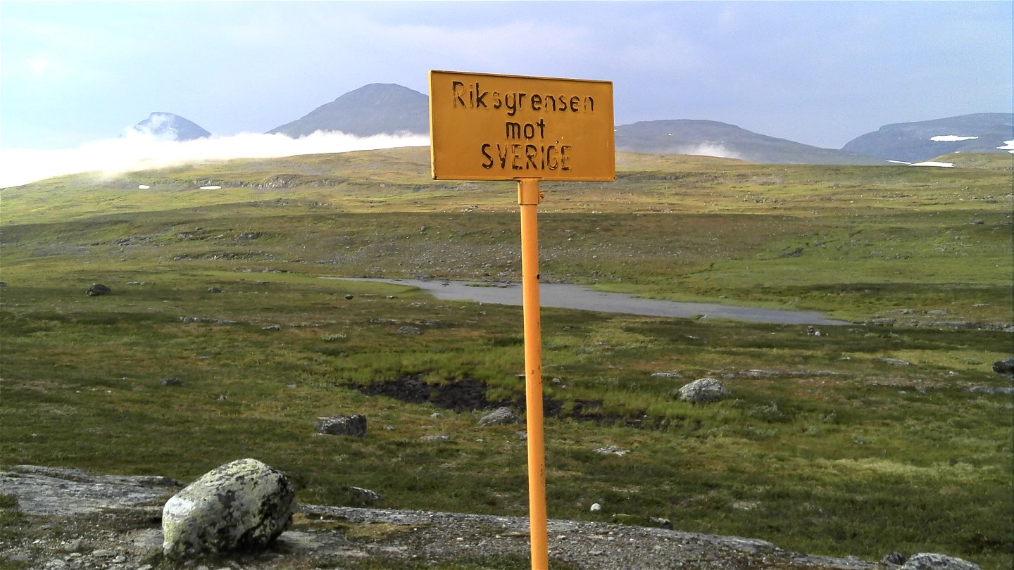


Gappo-Pältsa
Hiking
- Regio: Norrbottens län
- 6395.74 km van u vandaan
Pad details
- Lengte 11.0 km
Acties
Omschrijving
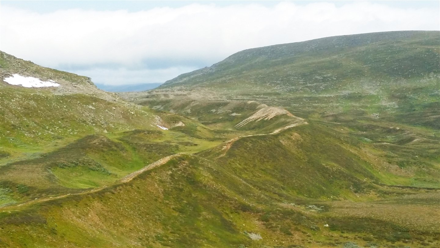
The trail leads across the tundra in the northernmost corner of Sweden. The route offers a very easy hike and runs through a valley with beautiful views to the north and west. The trail follows high moraine ridges almost all the way. Gradually, Sweden's northernmost high mountain, Pältsan, comes into view. One can find the botanic rarity Laestadius Poppy (papaver laestadianum) on the mountain slopes. Towards the end of the hike, the landscape opens up and the trail reaches the Pältsa cabin, standing on a wide-open mountain moor. The area is rich in birdlife and has unusual flora.
Duration: 3-5 hours
Activiteiten en faciliteiten
-
Hiking
Oppervlakte
Easy hiking, mostly along moraine ridges and across brush moors.
Contact
E-mailadres
Länsstyrelsen Norrbotten
Organisatie-logotype
![]()
Houd er rekening mee dat sommige teksten automatisch zijn vertaald.
Vragen en antwoorden
Stel een vraag aan andere Naturkartan gebruikers.
