Fakta om Bergslagsleden
Bergslagsleden är en 28 mil lång vandringsled genom hela Örebro län. Den är uppdelad i…

Vaellusreitit
Most water taps are closed during the period 1/11 - 15/4. This is because of the risk of pipes freezing. However, nature's water reserves are well stocked during that period.
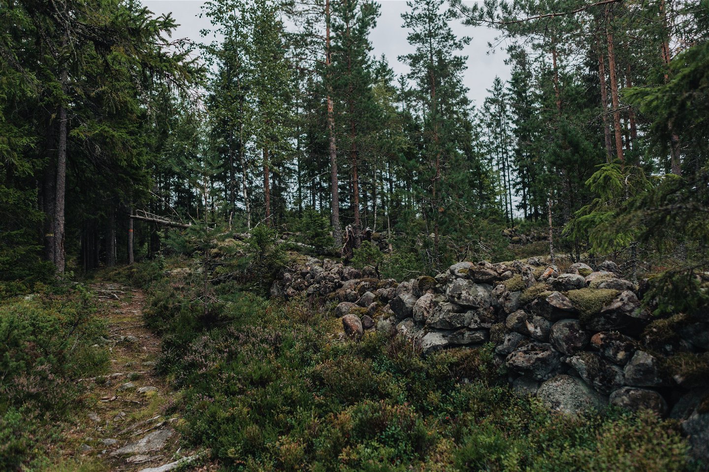
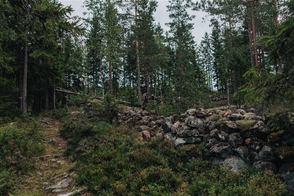
On Stage 2 you can follow the paths created during the Bergslagen mining era. The trail takes you through the exciting Finngruvan area with its copper mines, and where you can see both mineshafts and spoil heaps from Bergslagen’s industrial heyday. Stop and take a dip at Djäkens bygge, which is an ideal spot to bathe and relax. Nearby is the Nittälven Nature Reserve, which links up to several other nature reserves, creating a large, unbroken wilderness extending along the banks of the Nittälven river. At Lake Olovsjön you will find a resting place complete with a wind shelter, fireplace and toilet.
Vaellusreitit
Fresh water: At Gillersklack there is a water tap on the fence at the herding shed. Djäken's bathing area has a toilet with a water tap during the bathing season.
Accommodation: Sundets gård
There is a train connection to Kopparberg. Book local traffic from Kopparberg. There is also a connecting road of 2.5 km from Kopparberg station that connects to the stage just north of Djäken's construction.
https://www.lanstrafiken.se/reseplanering/flextrafik-och-nartrafik/nartrafik-i-orebro-lan/
Johan Karlström
![]()
Huomaa, että osa näistä teksteistä on käännetty automaattisesti.
Esitä kysymys muille Naturkartan-käyttäjille.
Bergslagsleden är en 28 mil lång vandringsled genom hela Örebro län. Den är uppdelad i…
Graderingen är anpassad för svenska låglandsleder som följer de kvalitetskriterier som tagits fram av det…
