


Smedstorp - Pinnarp, Östgötaleden
Vaellusreitit
- Kunta: Östergötlands län
- 6585.42 km päässä sinusta
Polun yksityiskohdat
- Pituus 12.6 km
- Vaikeuksia Sininen - keskikokoinen
Toiminnot
Kuvaus
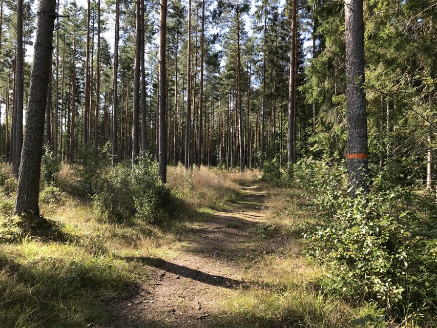
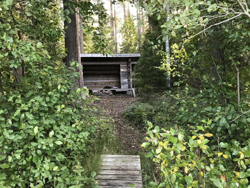
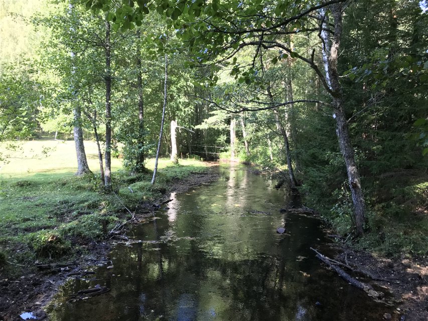
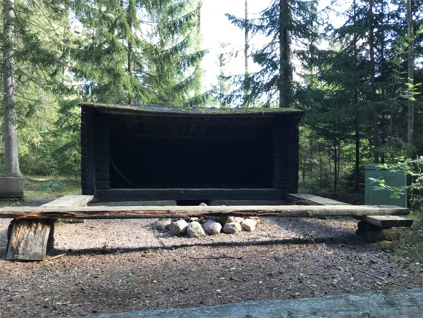
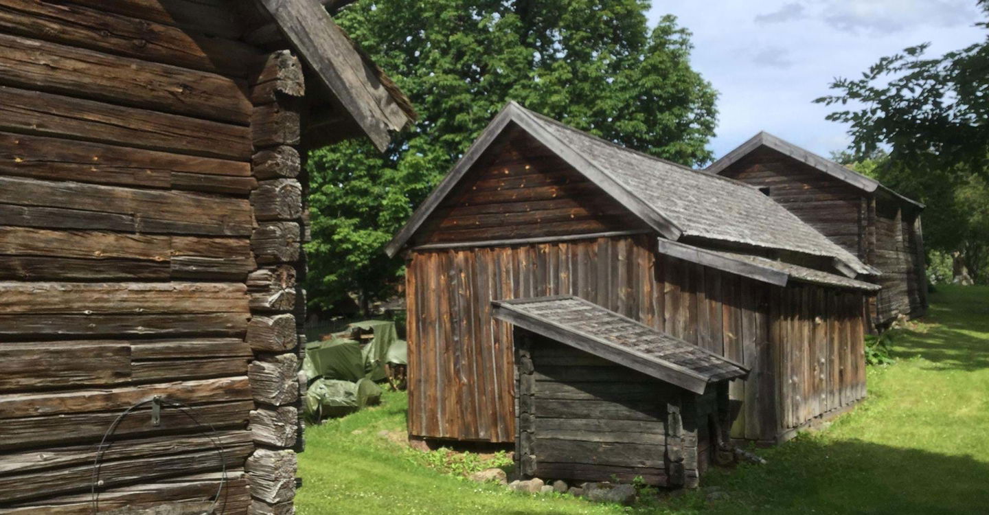
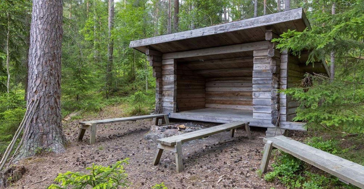
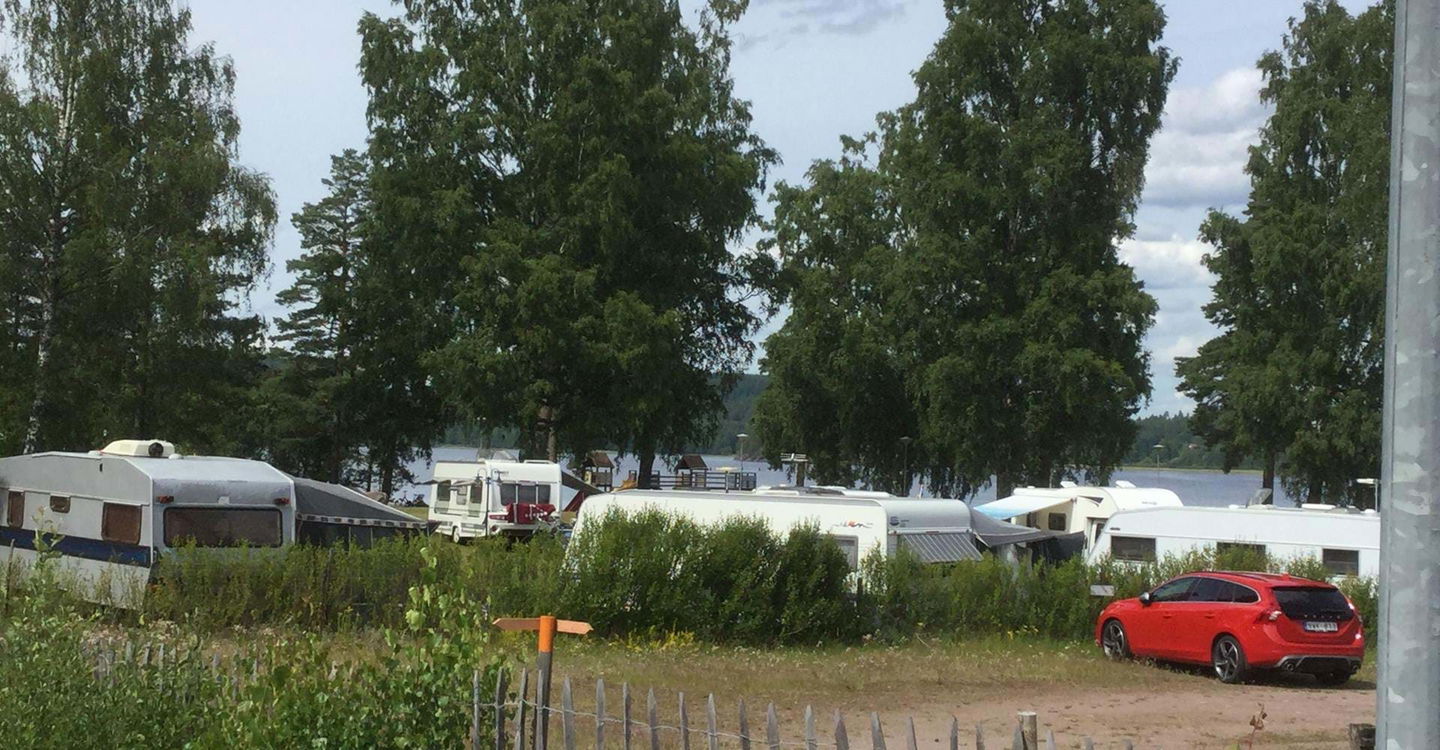
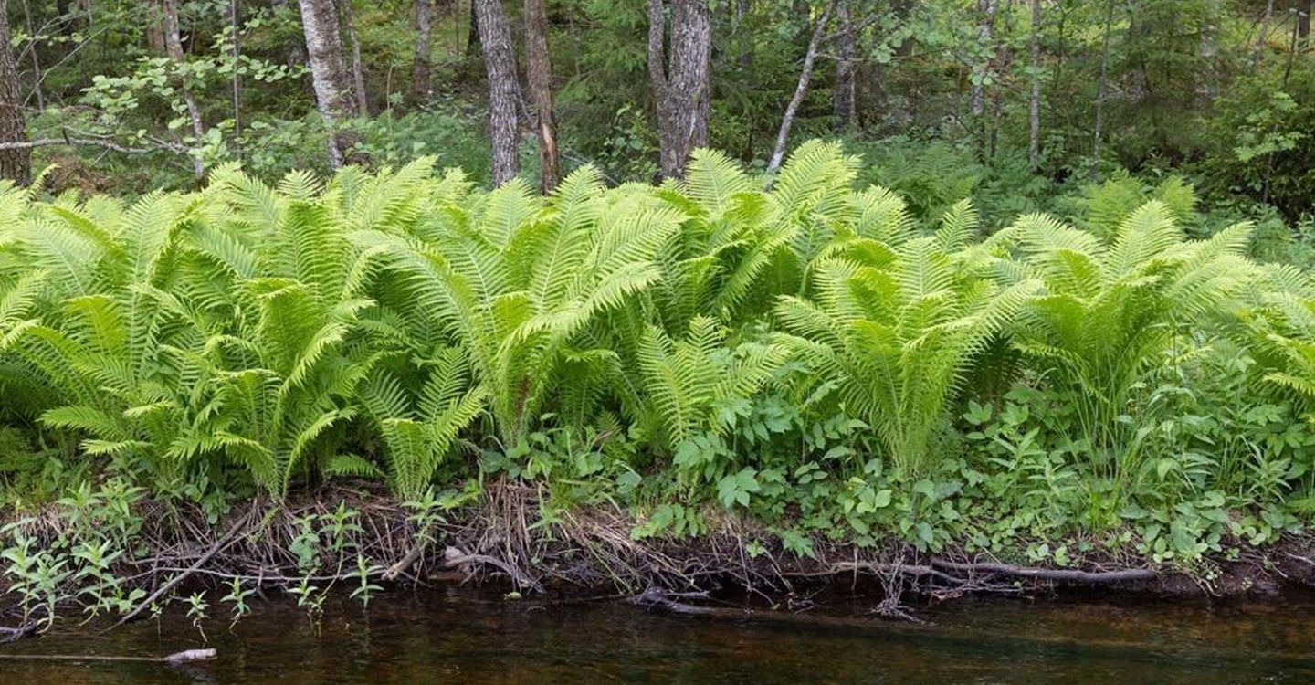
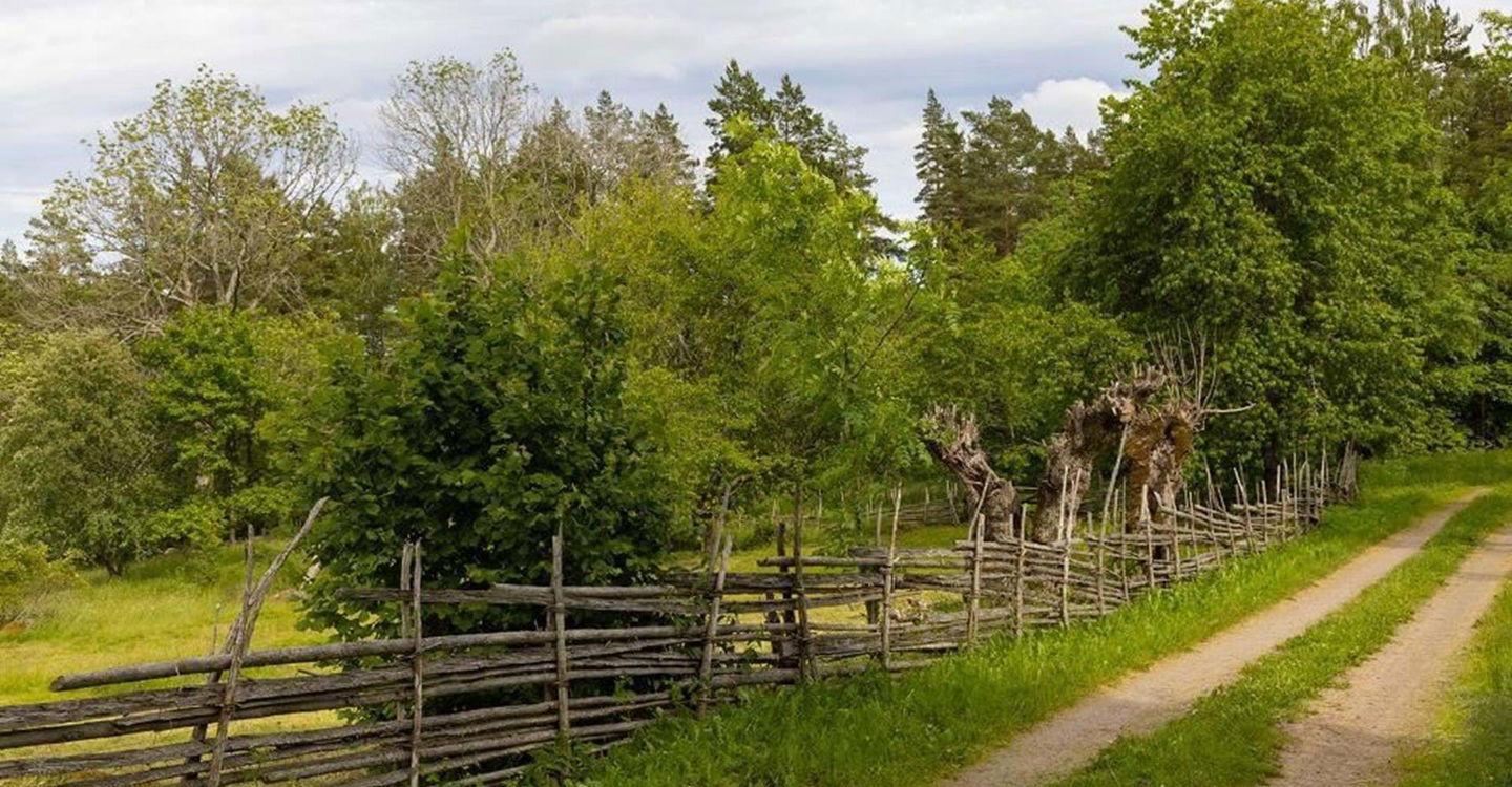
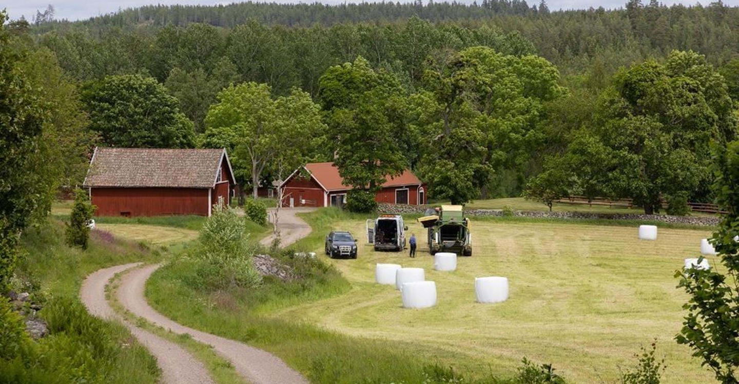
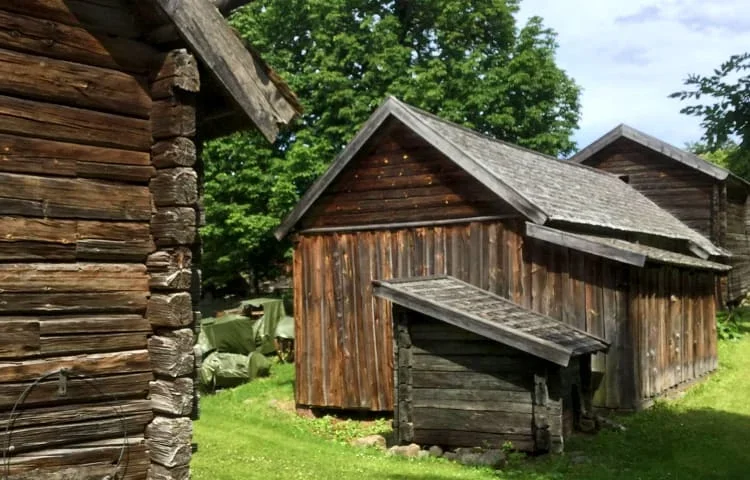
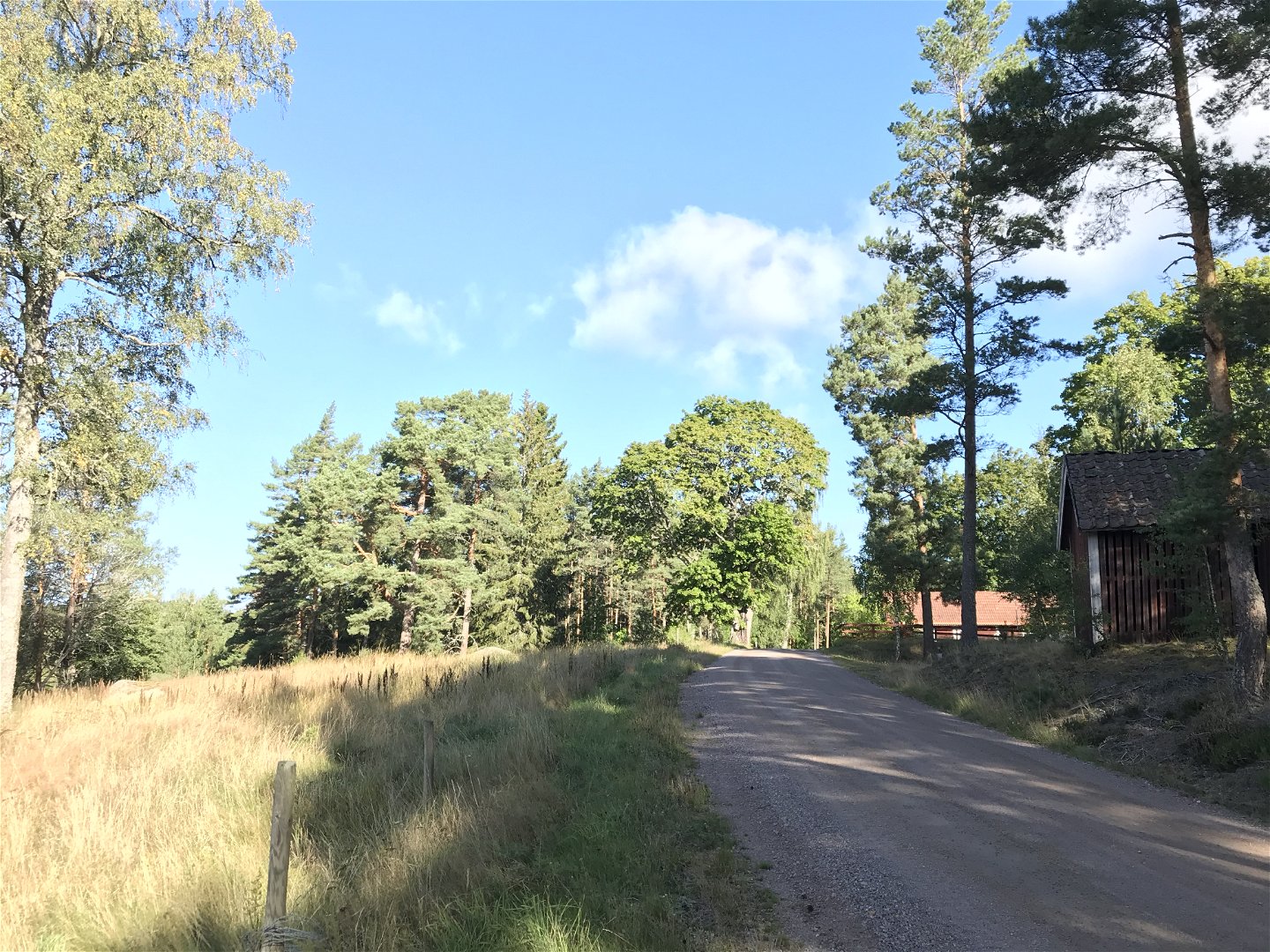
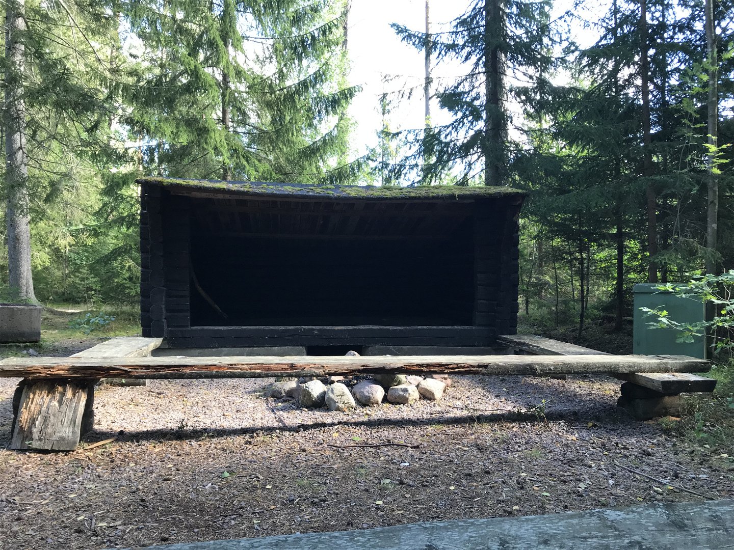
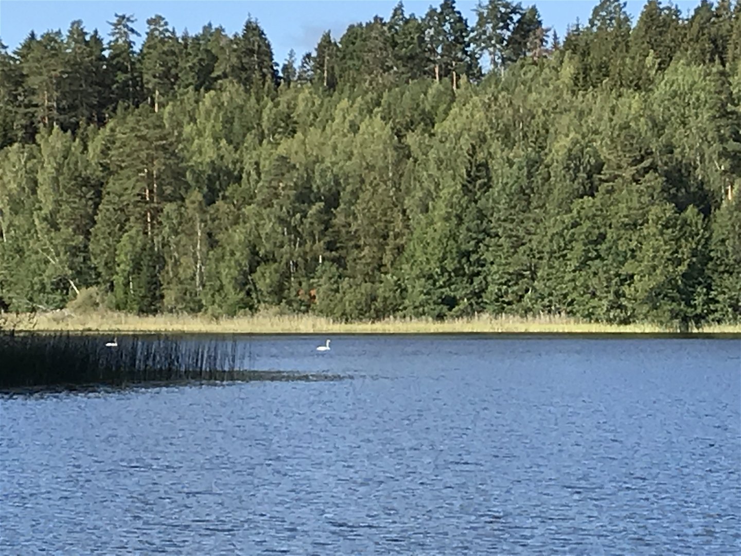
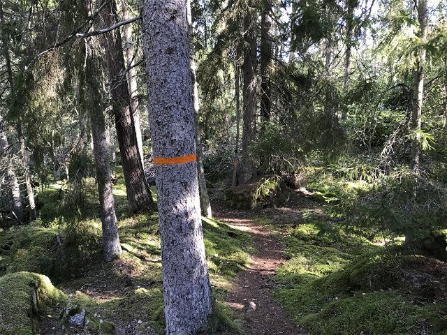
The route mostly goes through varied forest terrain and small forest roads. A varied section that can be considered "moderately difficult". A wind shelter is located at the beginning of the stretch along the shores of Lake Driern. You pass Misterfall's ash meadow which is a felled leaf meadow with a nice view of the area. The route ends in Pinnarp, which is something of a hub for the hiking trail in Kinda. In Pinnarp there are, among other things, cottages, hostels and a campsite.
Toimintaa ja tilat
-
Vaellusreitit
Ota yhteyttä
Osoite
Välkommen till Östgötaleden, 150 mils vandring i Östergötland!
Sähköpostiosoite
Kontakt Östgötaleden
Organisaation logotyyppi
![]()
Huomaa, että osa näistä teksteistä on käännetty automaattisesti.
Kysymykset & vastaukset (Q&A)
Esitä kysymys muille Naturkartan-käyttäjille.
Arvostelut
Sinua saattaisi kiinnostaa myös
