


[Kinda] Smedstorp-Pinnarp EN
Hiking
- County: Östergötlands län
- 6782.78 km away from you
Trail details
- Length 12.6 km
- Difficulty Blue - medium
Actions
Description
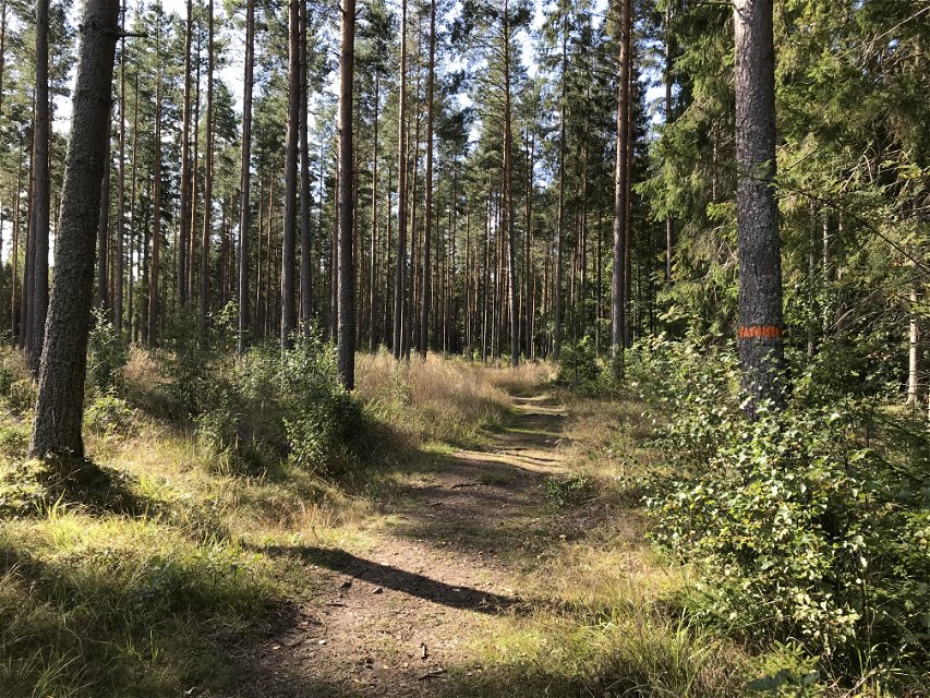
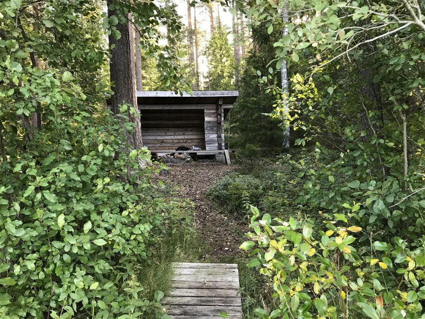
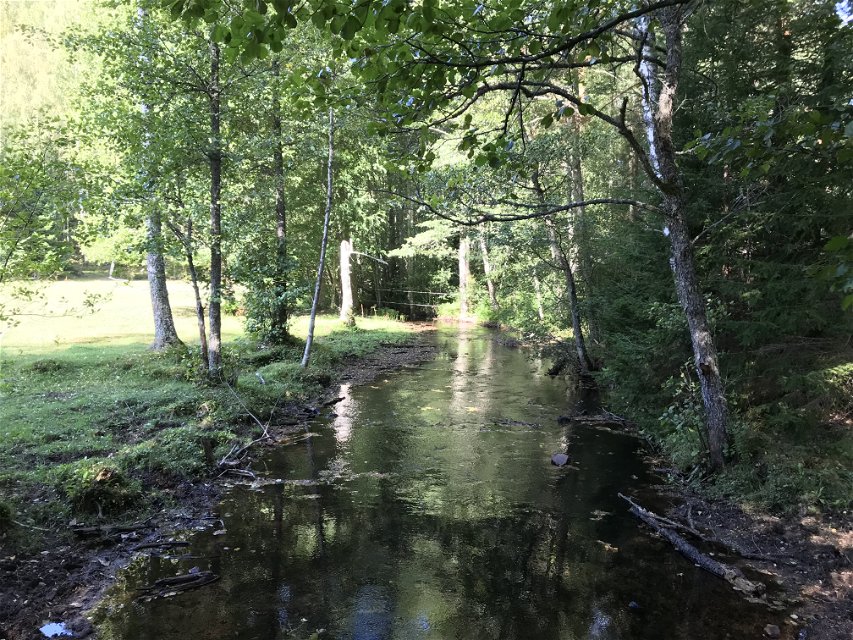
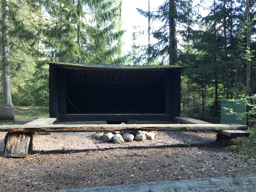
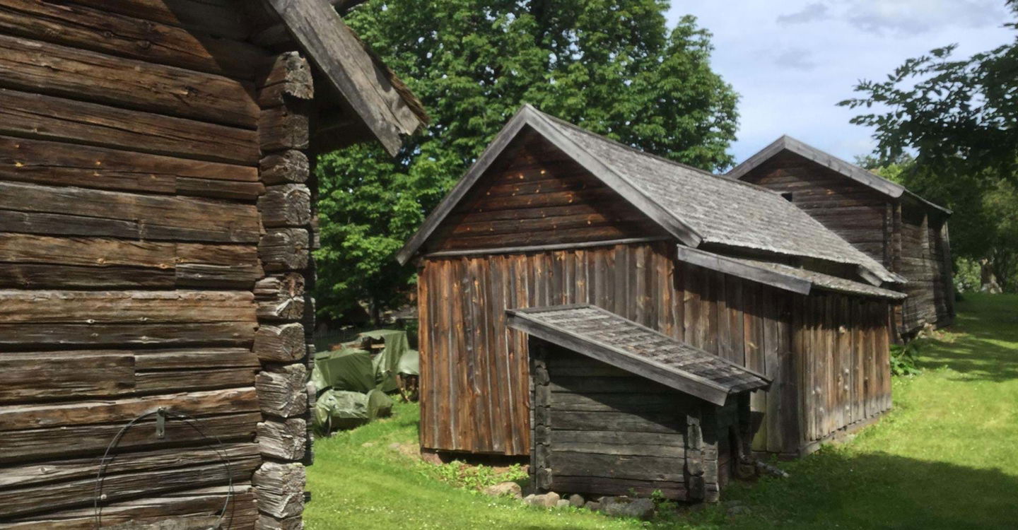
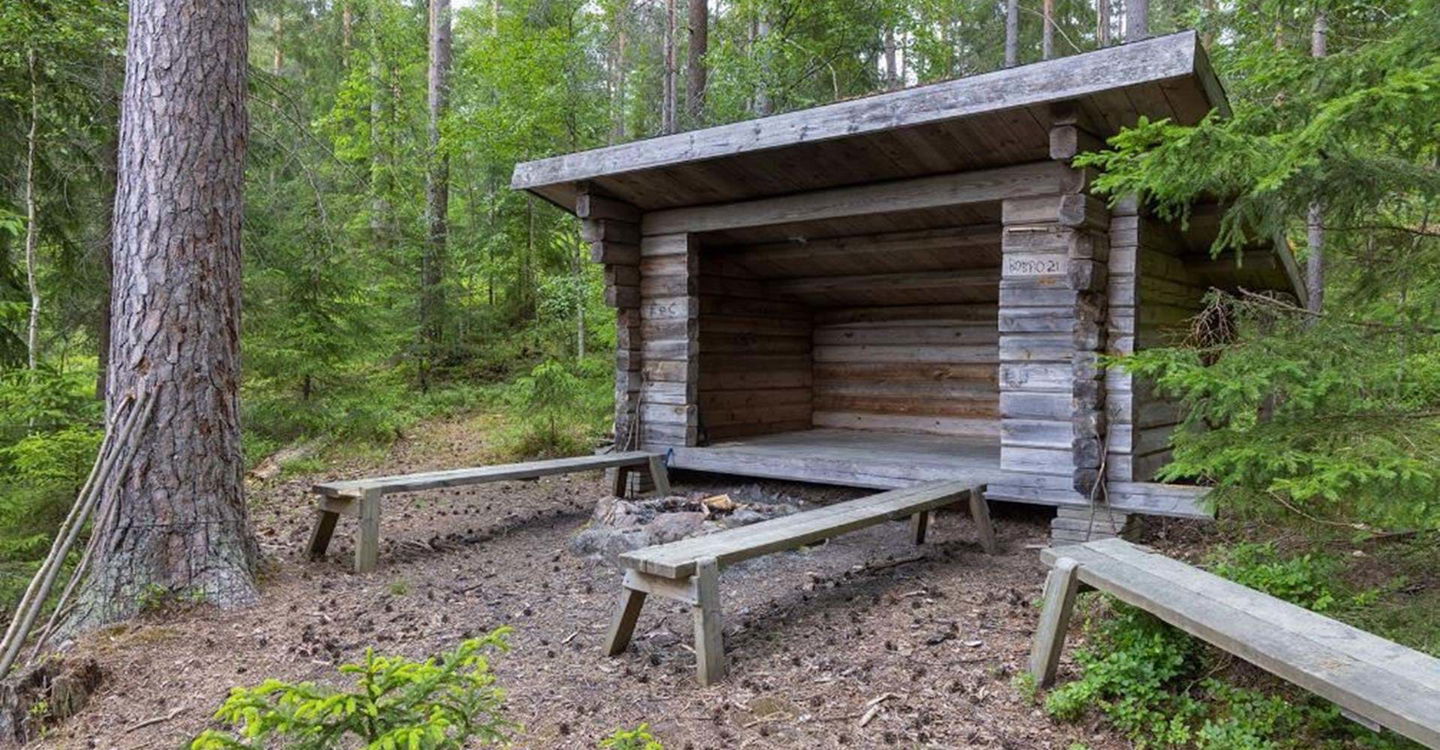
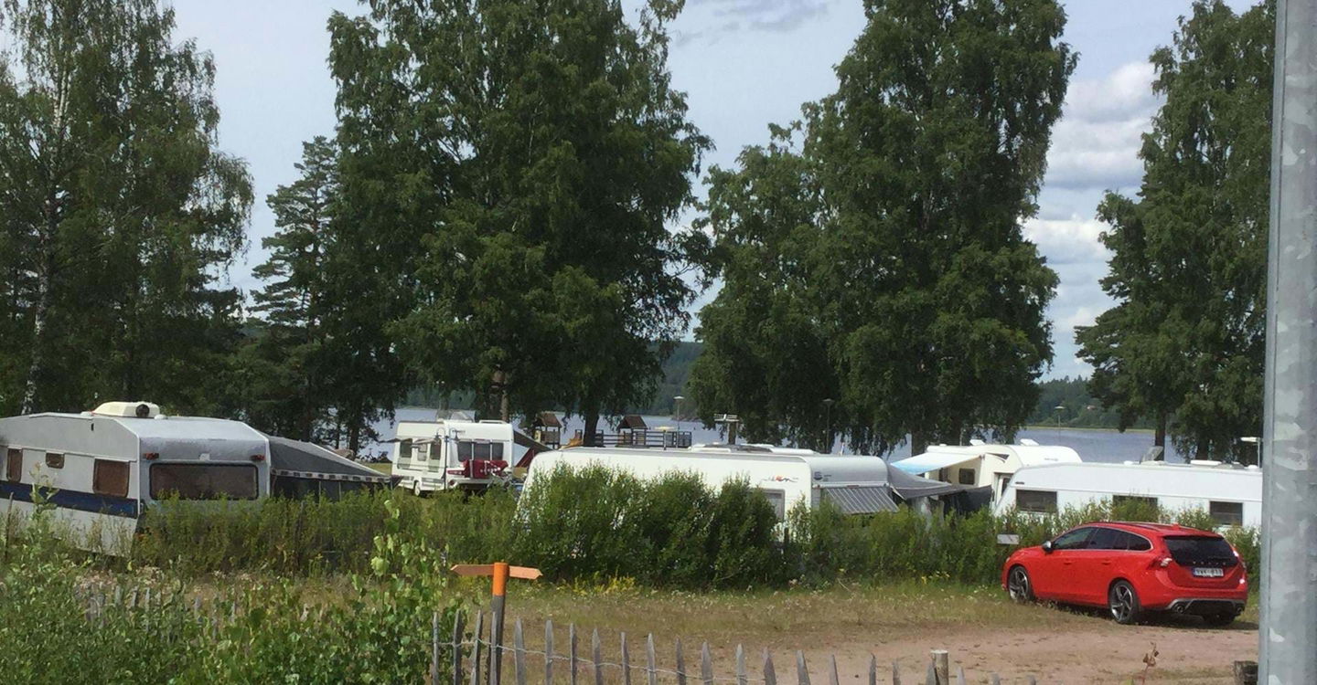
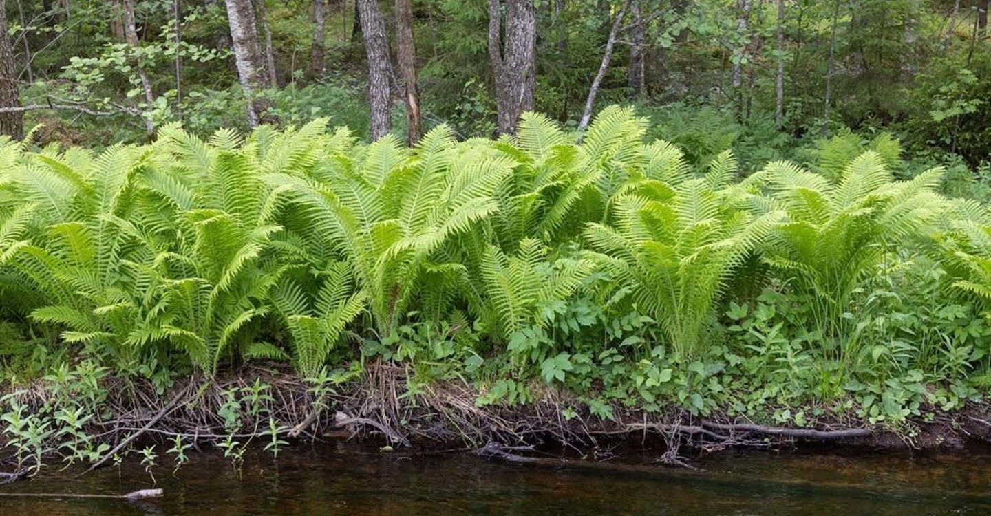
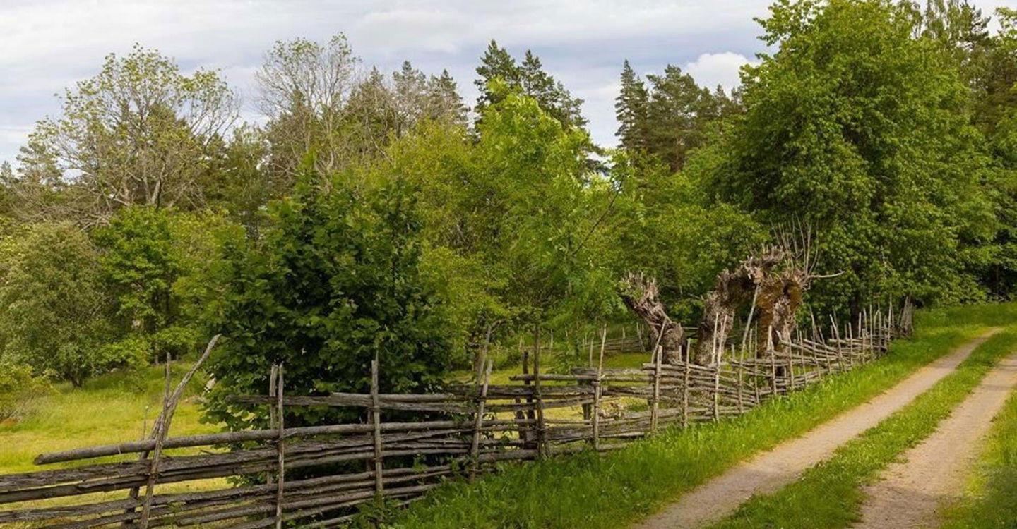
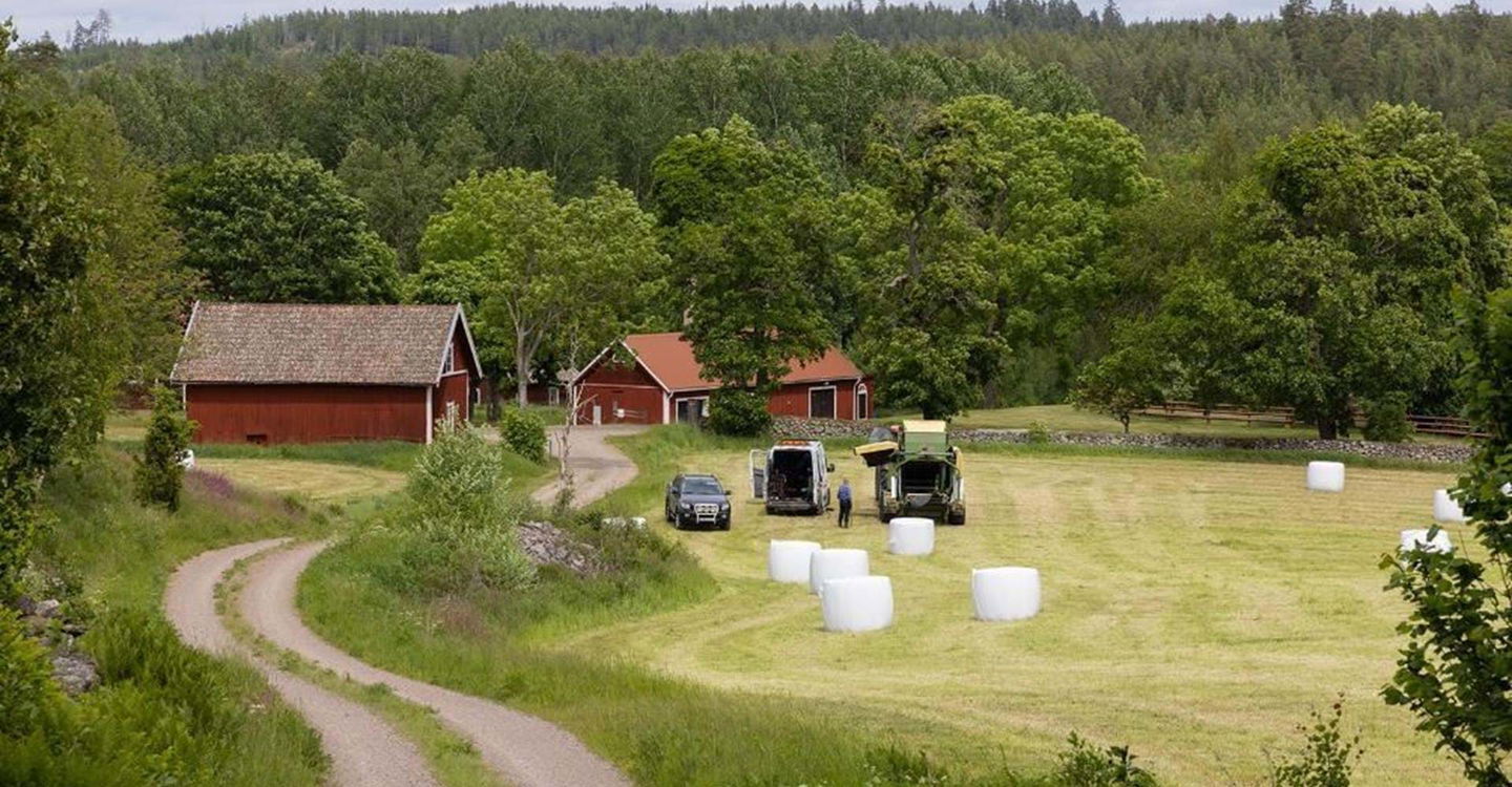
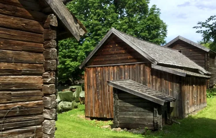
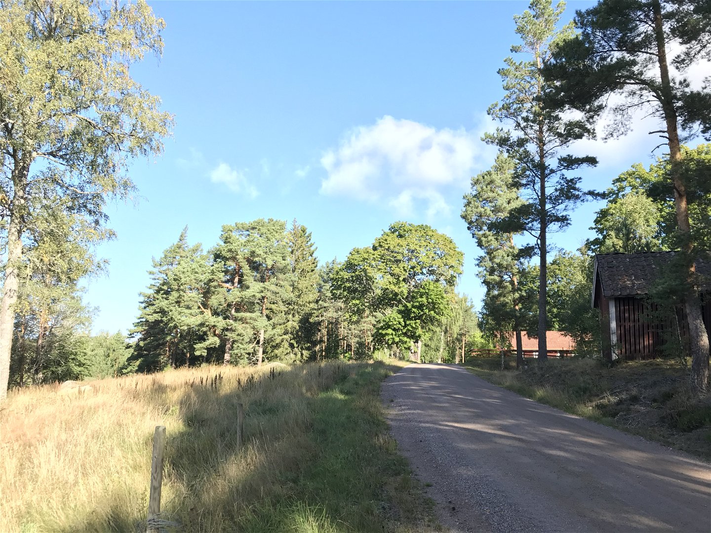
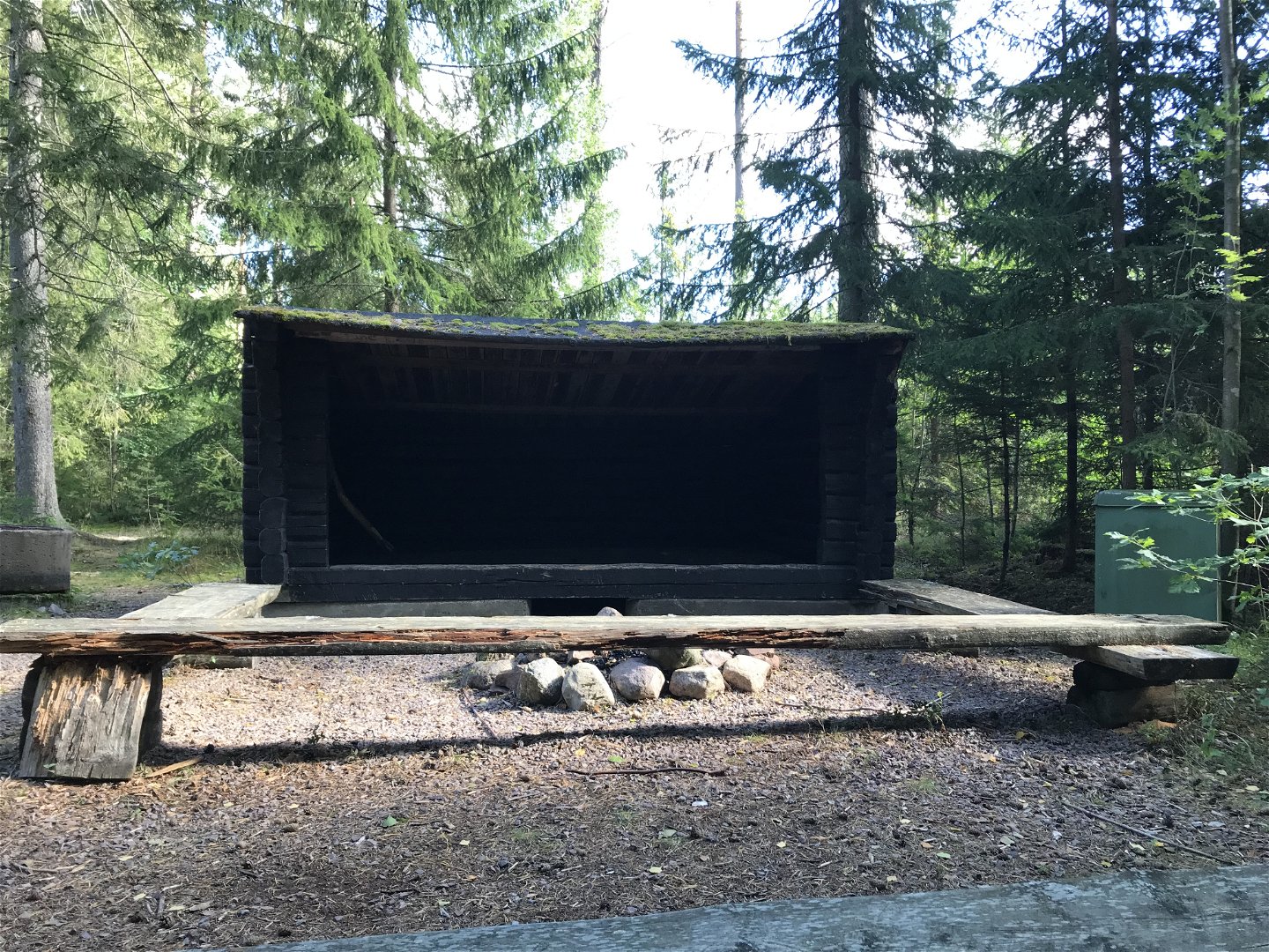
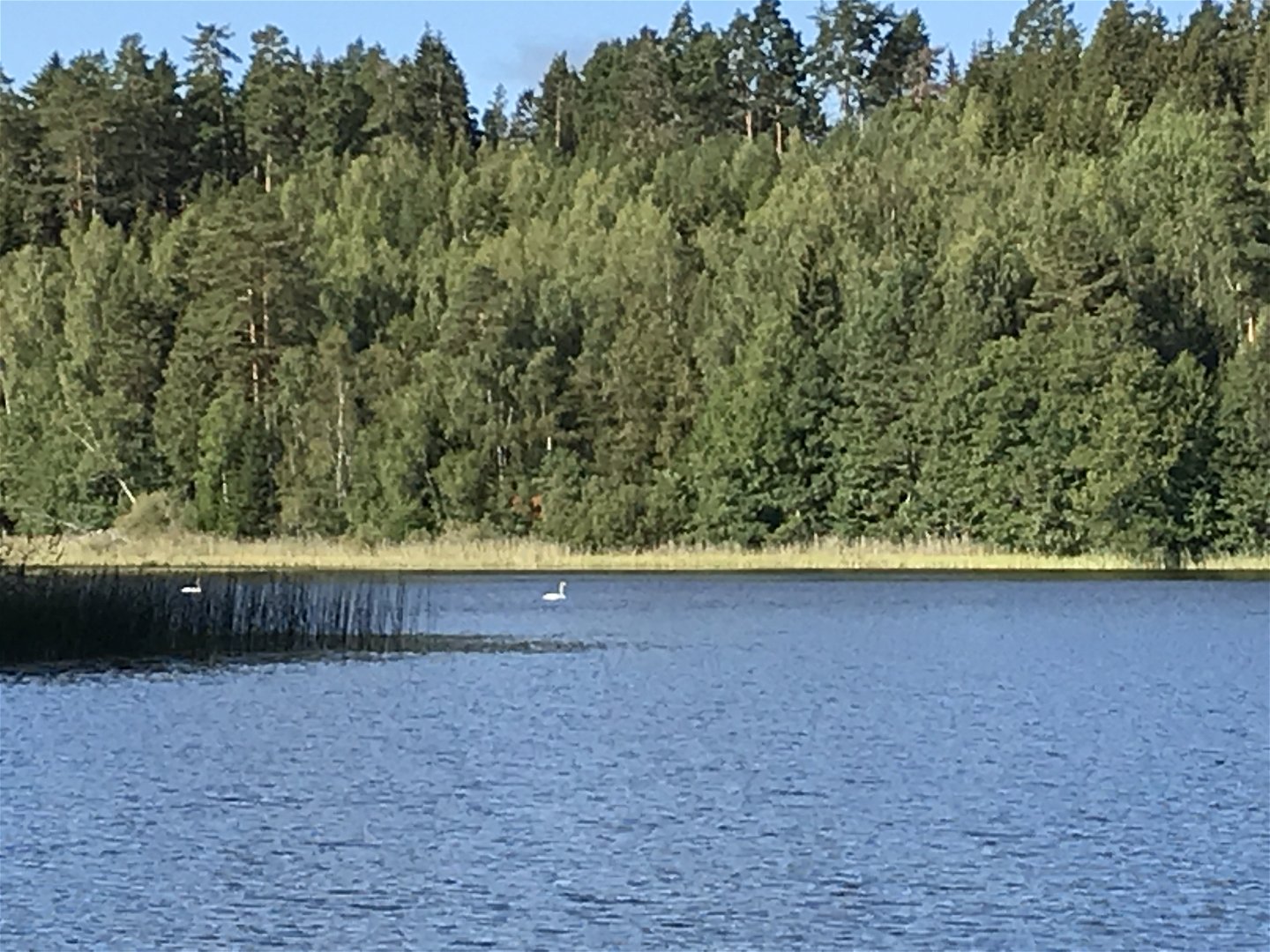
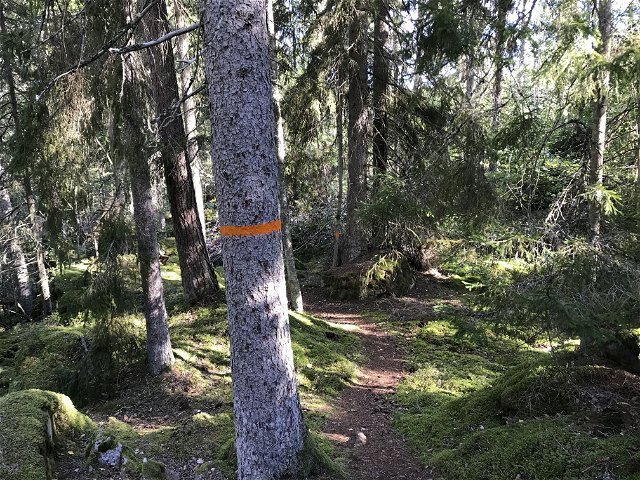
The route mostly goes through varied forest terrain and small forest roads. A varied section that can be considered "moderately difficult". A wind shelter is located at the beginning of the stretch along the shores of Lake Driern. You pass Misterfall's ash meadow which is a felled leaf meadow with a nice view of the area. The route ends in Pinnarp, which is something of a hub for the hiking trail in Kinda. In Pinnarp there are, among other things, cottages, hostels and a campsite.
Activities And Facilities
-
Hiking
Contact
Address
Välkommen till Östgötaleden, 150 mils vandring i Östergötland!
Email address
Kontakt Östgötaleden
Organization logotype
![]()
Questions & Answers
Ask a question to other Naturkartan users.
Reviews
You might also be interested in
