


Djupdalsleden
Vaellusreitit
- Kunta: Värmlands län
- 6551.83 km päässä sinusta
Polun yksityiskohdat
- Pituus 7.0 km
- Vaikeuksia Sininen - keskikokoinen
Toiminnot
Kuvaus
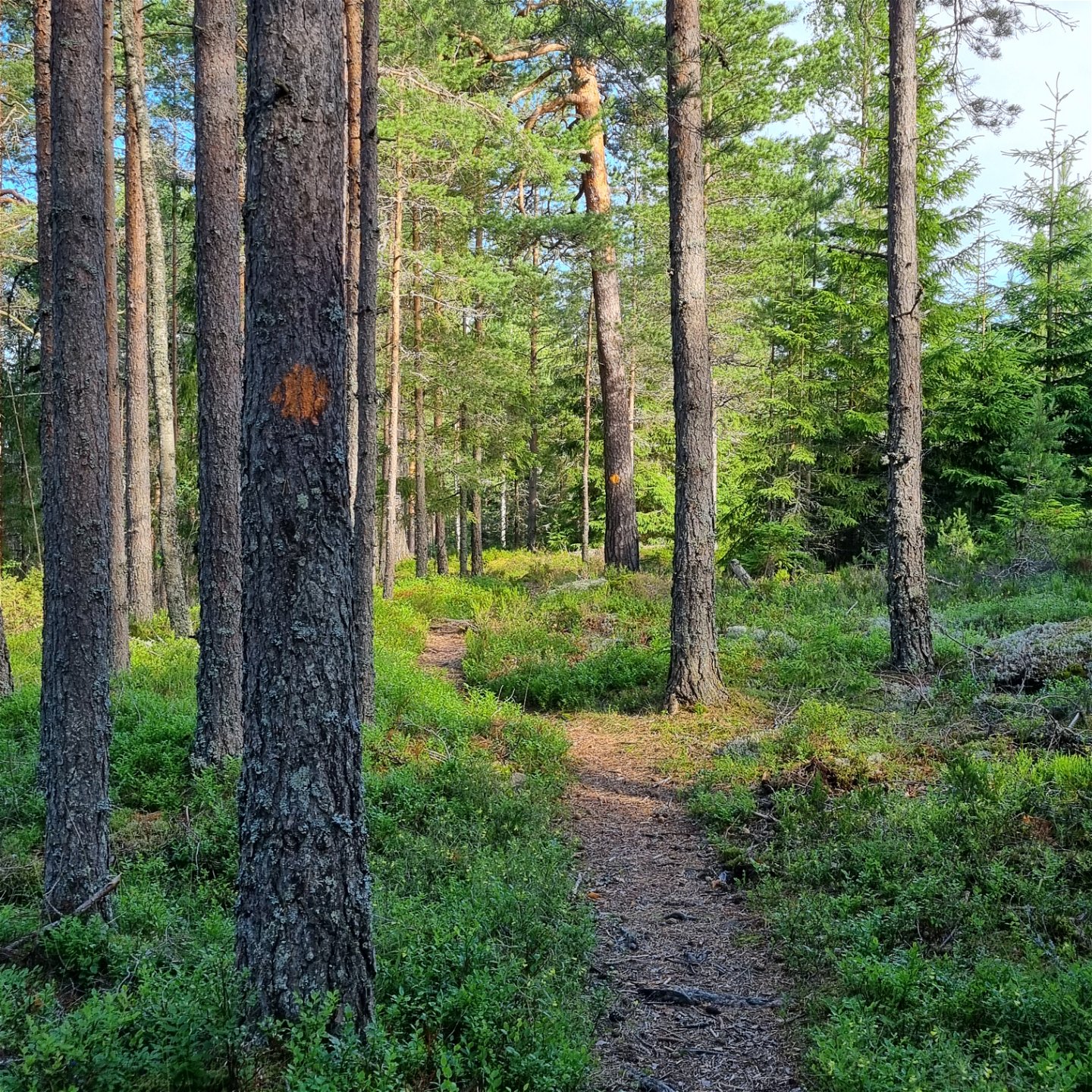
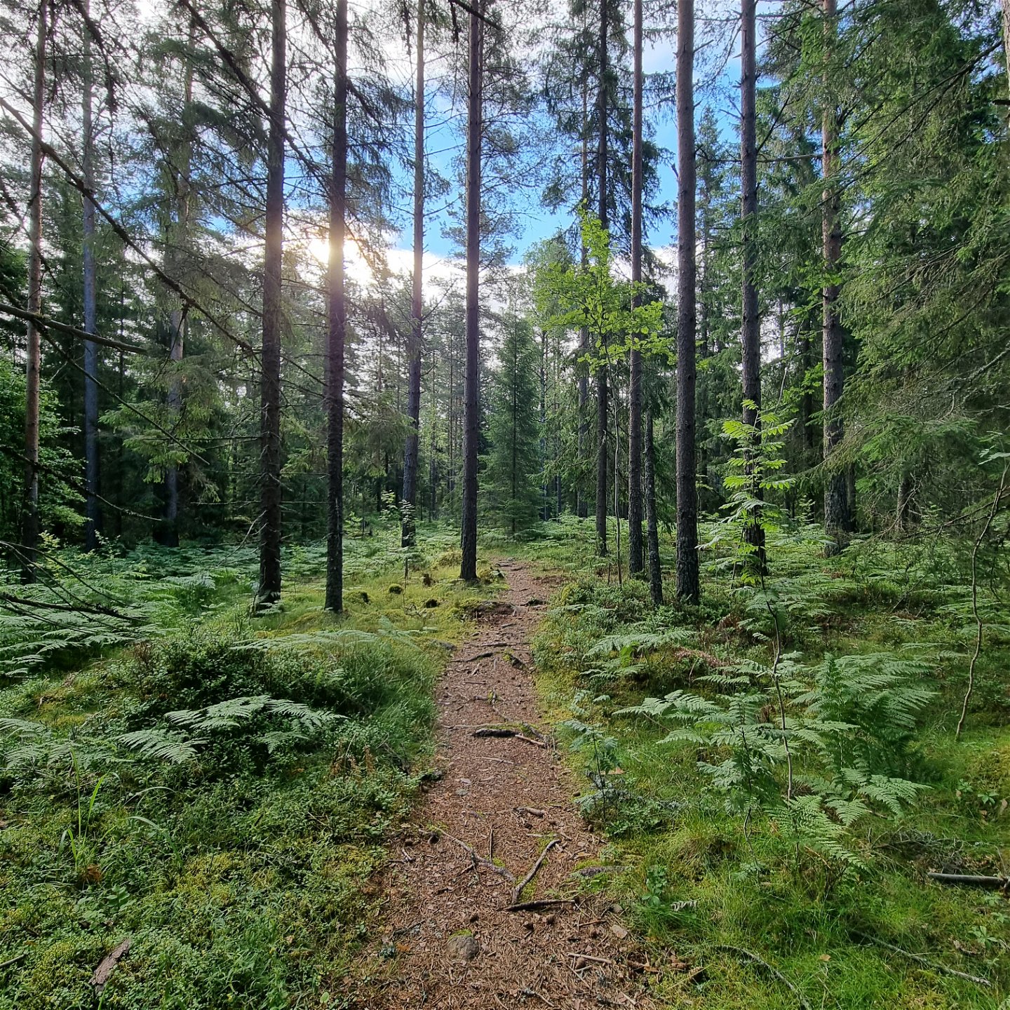
A hiking trail of 7 km with start and finish at Jössestugan, Rackstad. The trail goes across the heights Svarttjärnshöjden, Djupdalshöjden and Gallberget with nice views. The forest is mixed, stretching through pine and spruce populations but also some junipers. The trail crosses several forest streams. On some stretches the terrain is steep, but mostly relatively flat. The surface varies from needle covered paths, roots and rocks to short passages of duck boards. The path is well beaten and marked with orange on trees or signs. A map is available as a separate PDF.
There is normally mobile coverage throughout the trail.
Toimintaa ja tilat
-
Vaellusreitit
-
 Rundslinga
Faktat
Beskrivning för motsols riktning
Från parkeringen är det en gemensam start för de tre
lederna Gallbergsleden, Djupdalsleden och Sotar Blixtleden. Efter första backen
upp förbi stugan börjar skyltningen som visar vägvalen med skyltar.
Skyltarna för Djupdalsleden visar motsols riktning och bär stadigt mot sydost genom blandskog och korsar en grusväg efter cirka 1 km. Leden följer en timmerbilväg några hundra meter in till en vändplan, för att sedan fortsätta i samma riktning in mot sydost där den så småningom korsar bäcken från Svarttjärnet. Vid vändplanen saknas markeringar, men syns igen cirka 100 m in på stigen.
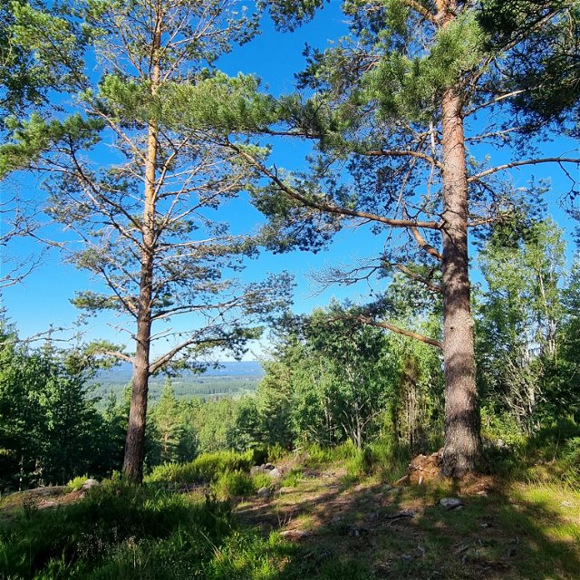
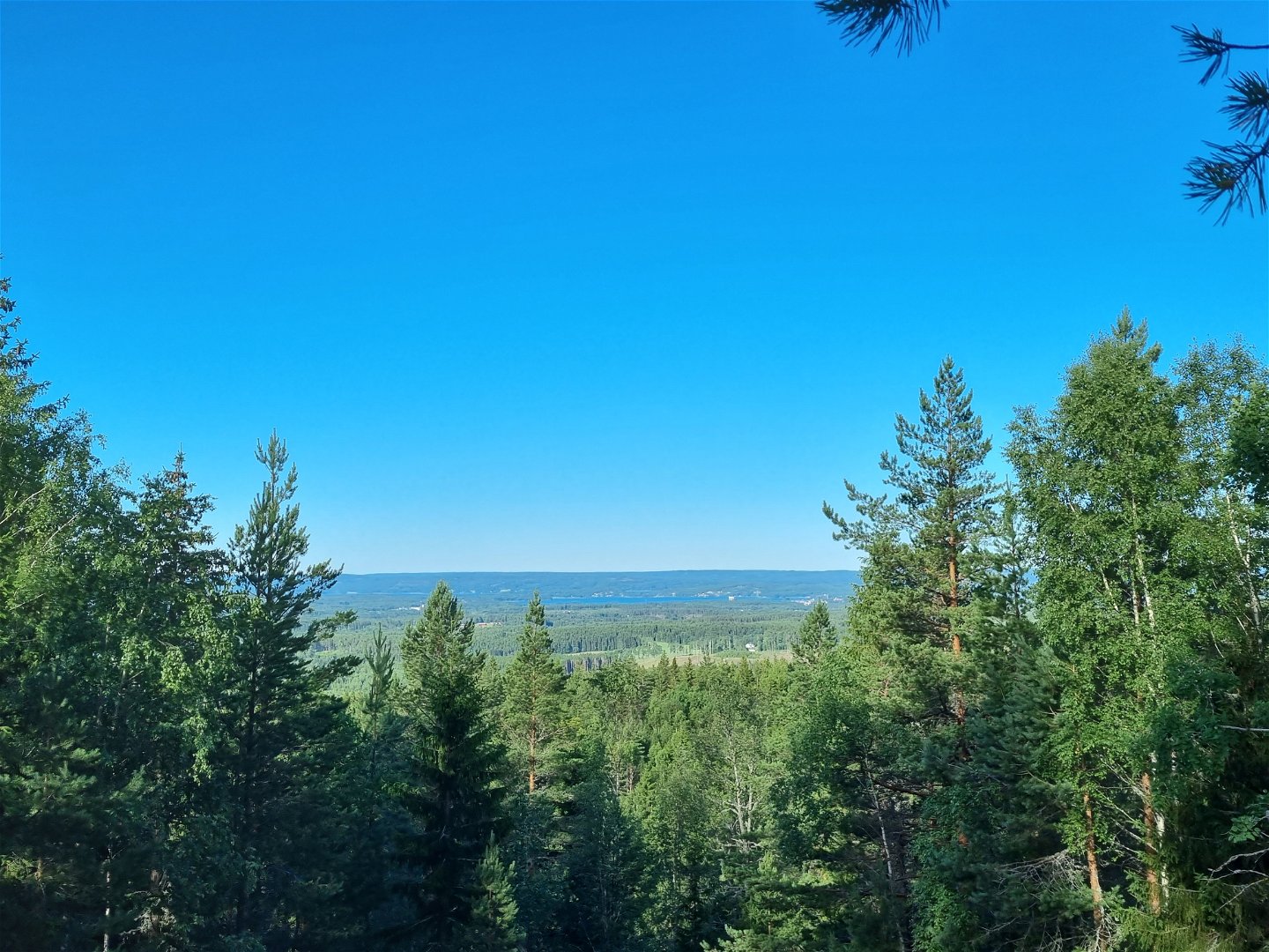
När den första mjuka stigningen är tillryggalagd kan man bakom sig skymta Rackstadbackens slalomanläggning och höjderna borta i nordväst.
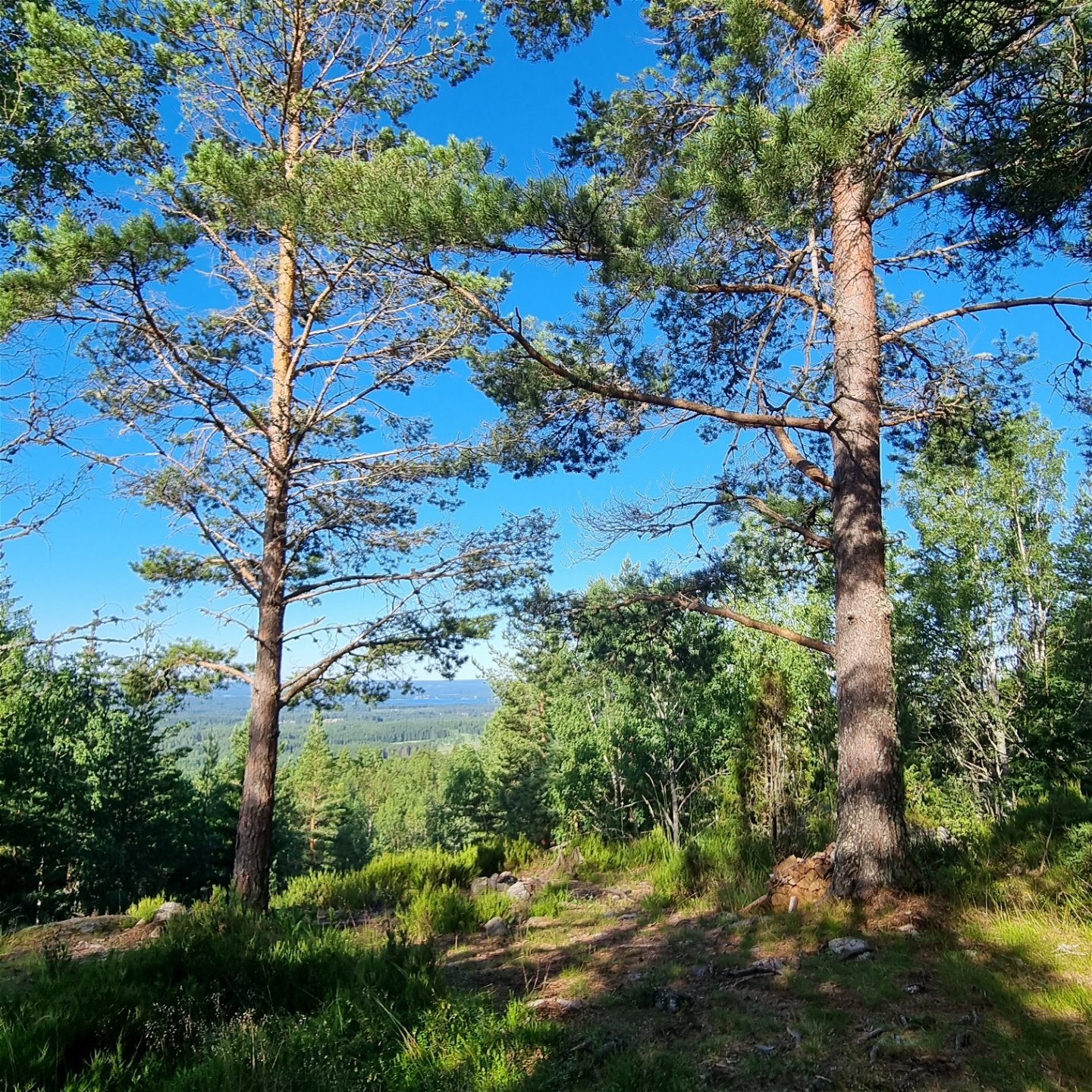
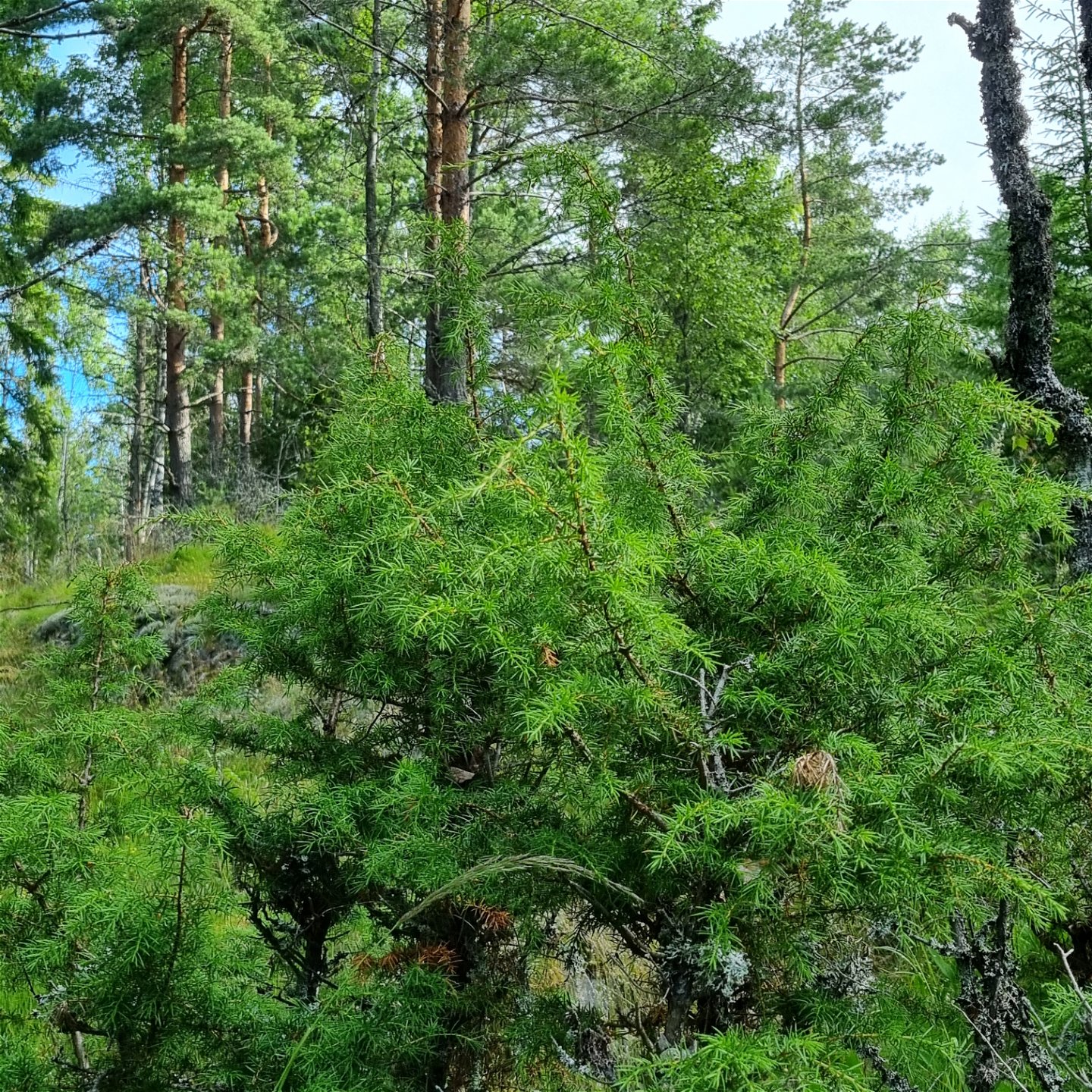
Trots att de tre lederna i området ligger intill varandra kan man märka naturen är lite annorlunda mot den vid de två nordligare lederna. Längs Djupdalsleden är skogen lite glesare, med mer inslag av enbuskar och gräs.
När leden vänder från Djupdalen, kort mot nordost och vidare tillbaka mot nordväst kommer en märkbar stigning uppför Djupdalshöjden. Utsikten är belönande på toppen.
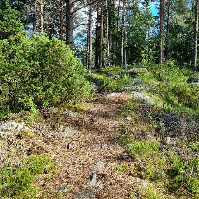
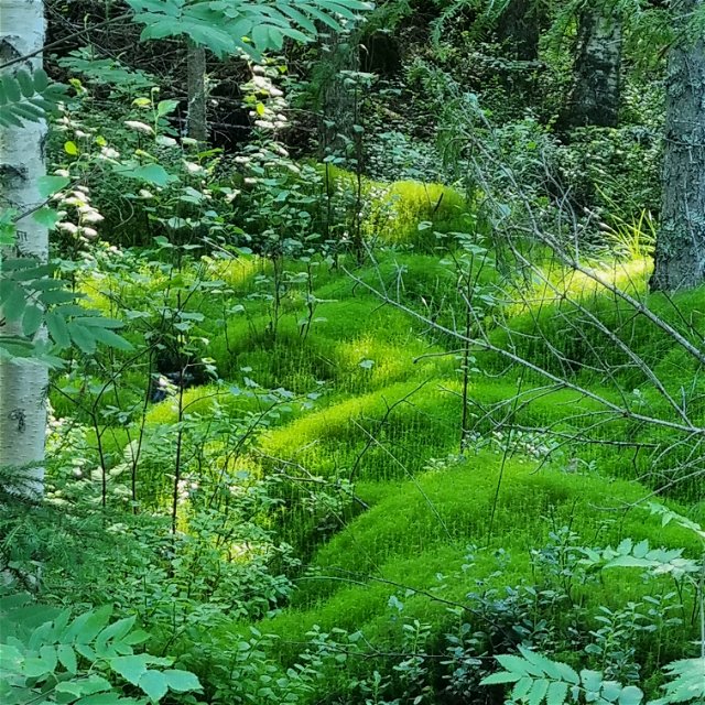
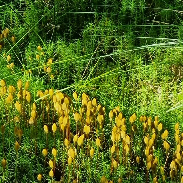
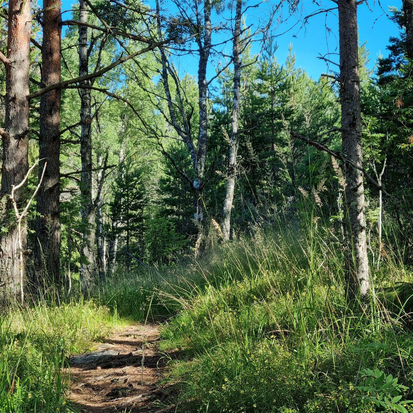
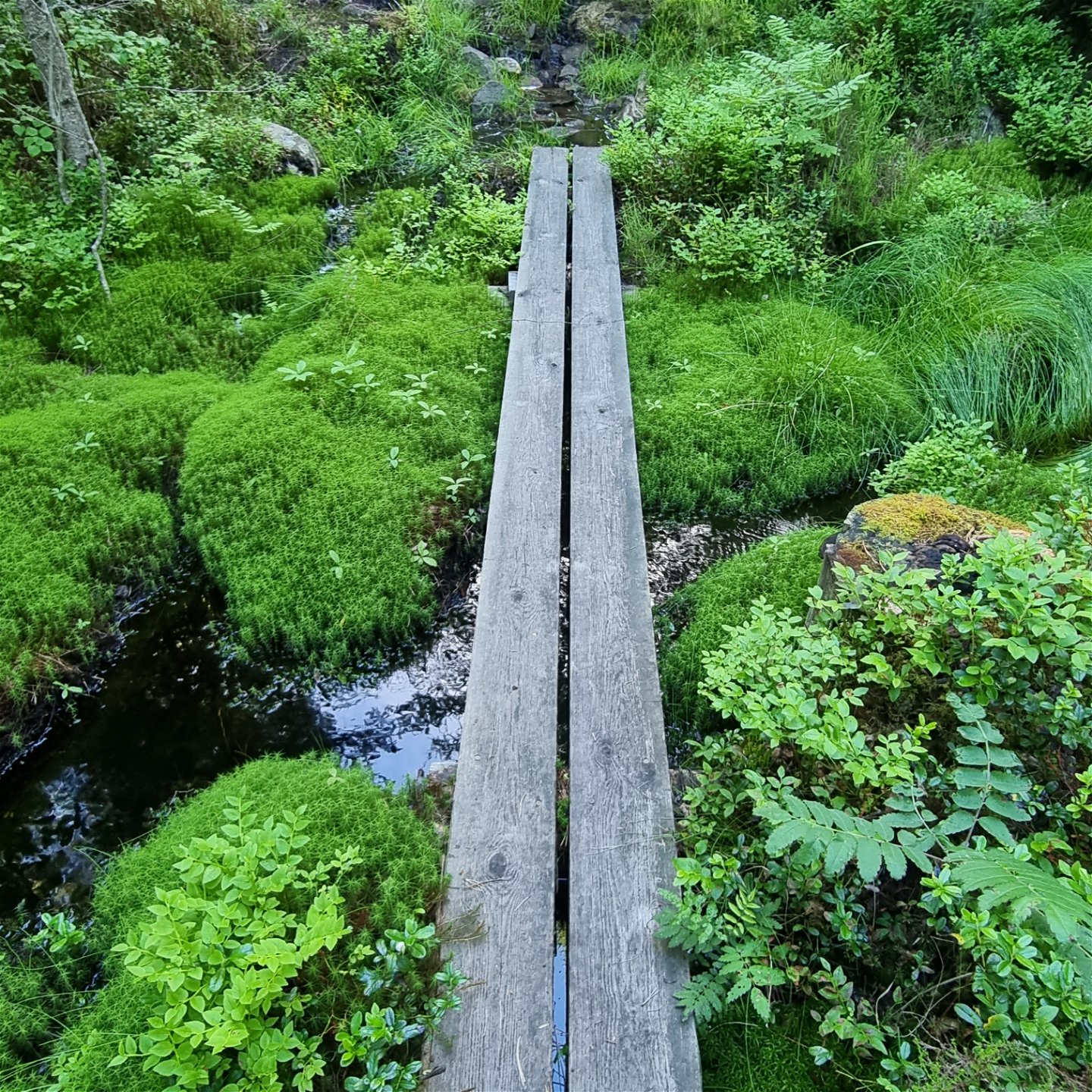
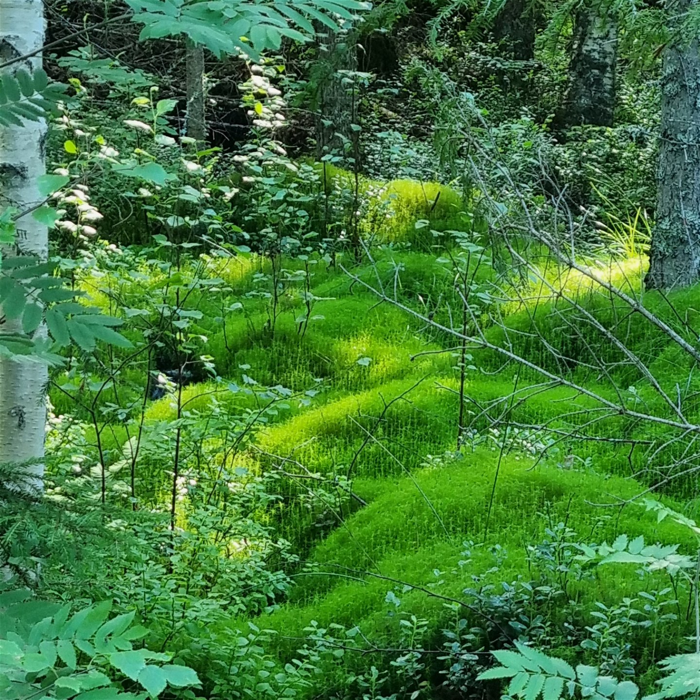
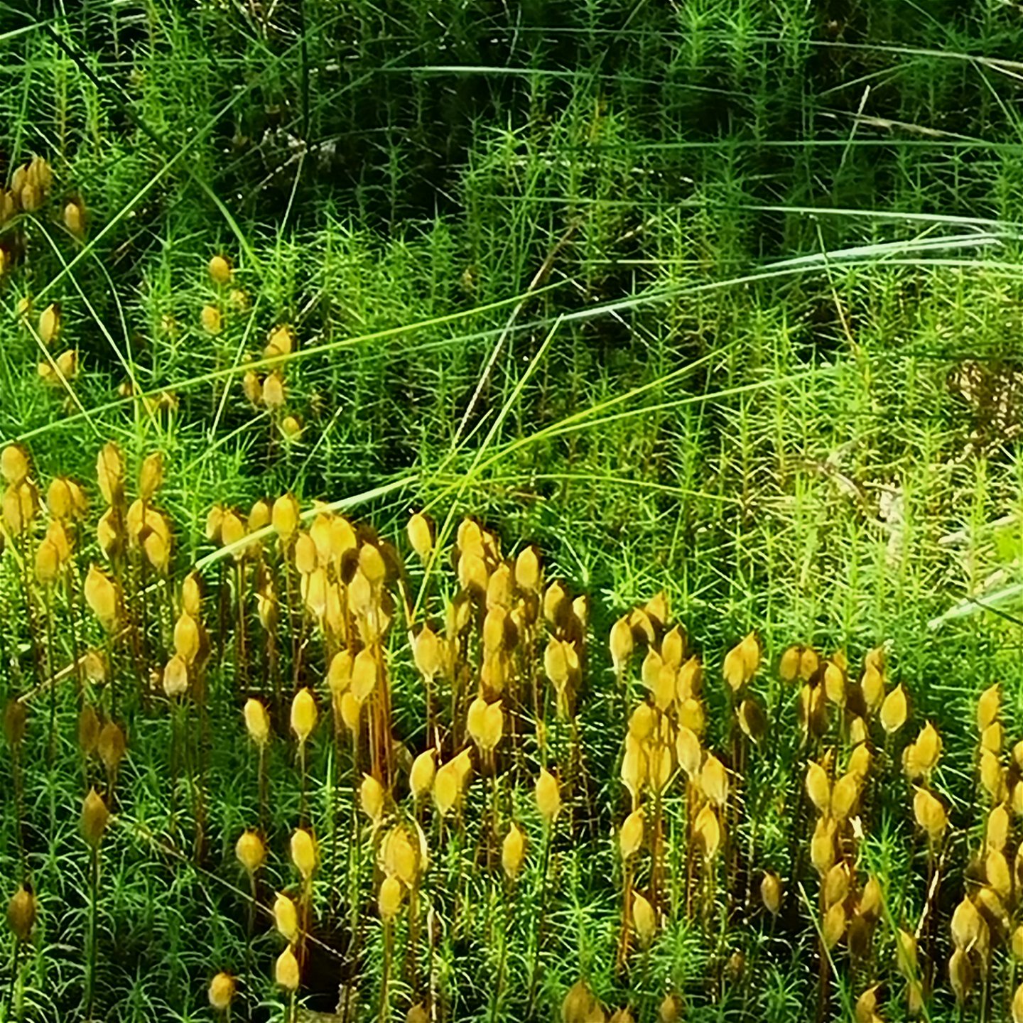
Leden fortsätter uppe på barrstig längs bergsryggen bland tall och en. Allteftersom höjdmeterna sjunker kommer några blötare partier och bäckar. Av denna anledning rekommenderas kängor, då spångarna inte täcker helt och hållet. Här växer intressanta mossor och blommor.
Djupdalsleden återansluter till Gallbergsleden cirka en km efter Djupdalshöjden. Skyltningen visar den norra gemensamma återvägen förbi Hartjärnet. Det är dock möjligt att ta sig tillbaka via den sicksack-formade (syd-nordväst-sydlig sträckning) leden (se karta), men det är synd att missa den fina utsikten från Gallberget och passagen längs Hartjärnet. För mer detaljer, läs även beskrivningen om Gallbergsleden.
Pinta
Duck boards, forest paths, some short stretches of gravel road, some wet areas, needle covered paths, some roots and rocks.
Hills
Some steep stretches, but mostly gentle changes of altitude.
Pysäköinti
Spacious parking area for about 20 cars.
Viestintä
Suggested starting point
Jössestugan, latitud 59.692706, longitud 12.679481 There is a spacious parking space. The bus connection 111 Arvika-Perserud passes the stop ”Myren/Rackstadskogens naturreservat” after approximately 8 km from Arvika. For time tables, visit Värmlandstrafik (varmlandstrafik.se)
Reittiohjeet
Suggested starting point
Jössestugan, latitud 59.692706, longitud 12.679481
There is a spacious parking space.
The bus connection 111 Arvika-Perserud passes the stop ”Myren/Rackstadskogens
naturreservat” after approximately 8 km from Arvika. For time tables, visit Värmlandstrafik (varmlandstrafik.se)
Asetukset
Some areas of the trails coincide with the Rackstad Nature Reserve, which means that it is prohibited to:
- harm living or dead trees and bushes,
- pick or dig up plants, including moss, lichen, or mushrooms,
- interfere with animal wild life by going too close to their resting place or making fires,
- bring dogs unleashed,
- drive motor vehicles,
-
put up tents
For more information visit: www.lansstyrelsen.se/varmland/besoksmal/naturreservat/rackstadskogen.
Lataukset
Ota yhteyttä
Osoite
Besöksadress:
Visit Arvika
Arvika Turistbyrå, Storgatan 22
671 31 Arvika
www.visitarvika.se
Sähköpostiosoite
Visit Arvika
Huomaa, että osa näistä teksteistä on käännetty automaattisesti.
Kysymykset & vastaukset (Q&A)
Esitä kysymys muille Naturkartan-käyttäjille.
