Hed - Skinnskatteberg, Romboleden Etapp 3
Pyhiinvaellusreitti
- Kunta: Västmanlands län
- 6775.29 km päässä sinusta
Polun yksityiskohdat
- Pituus 22.4 km
- Aika 7 h 40 min
- Vaikeuksia Sininen - keskikokoinen
Toiminnot
Kuvaus
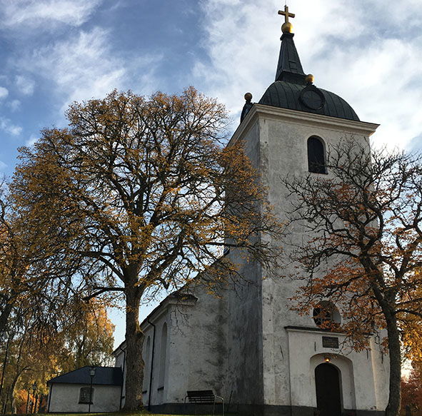
This stage starts at the Church of Hed and follows the old KUJ railway embankment and is easily walked. You pass fields and farmland, woods and lakes. The second half of this stage, from Uttersberg to Skinnskatteberg, follows roads and paths through the woods. You are hiking from th church in Hed to the church in Skinnskatteberg.
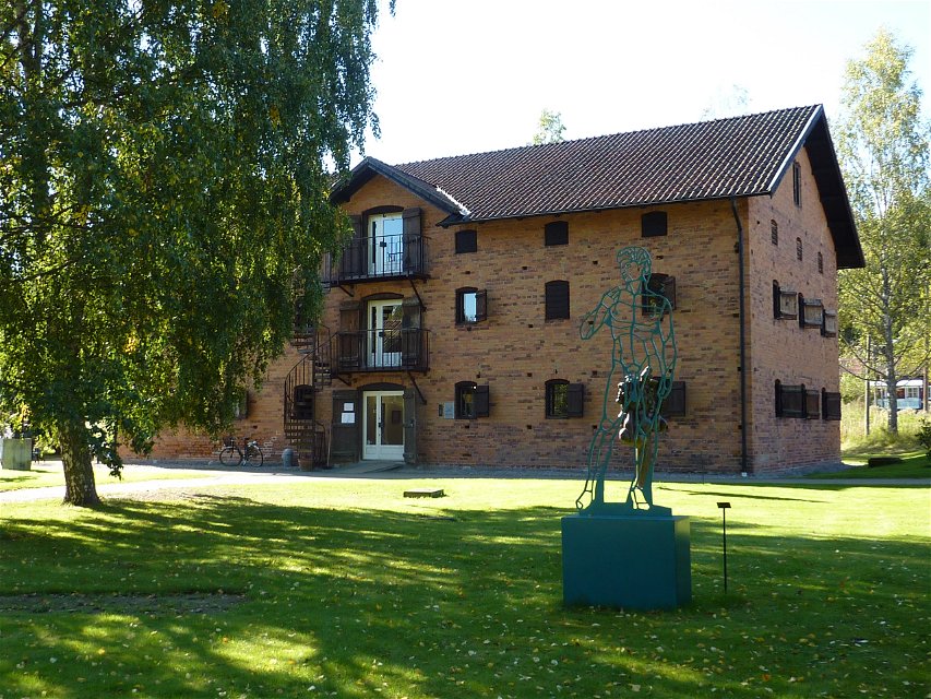
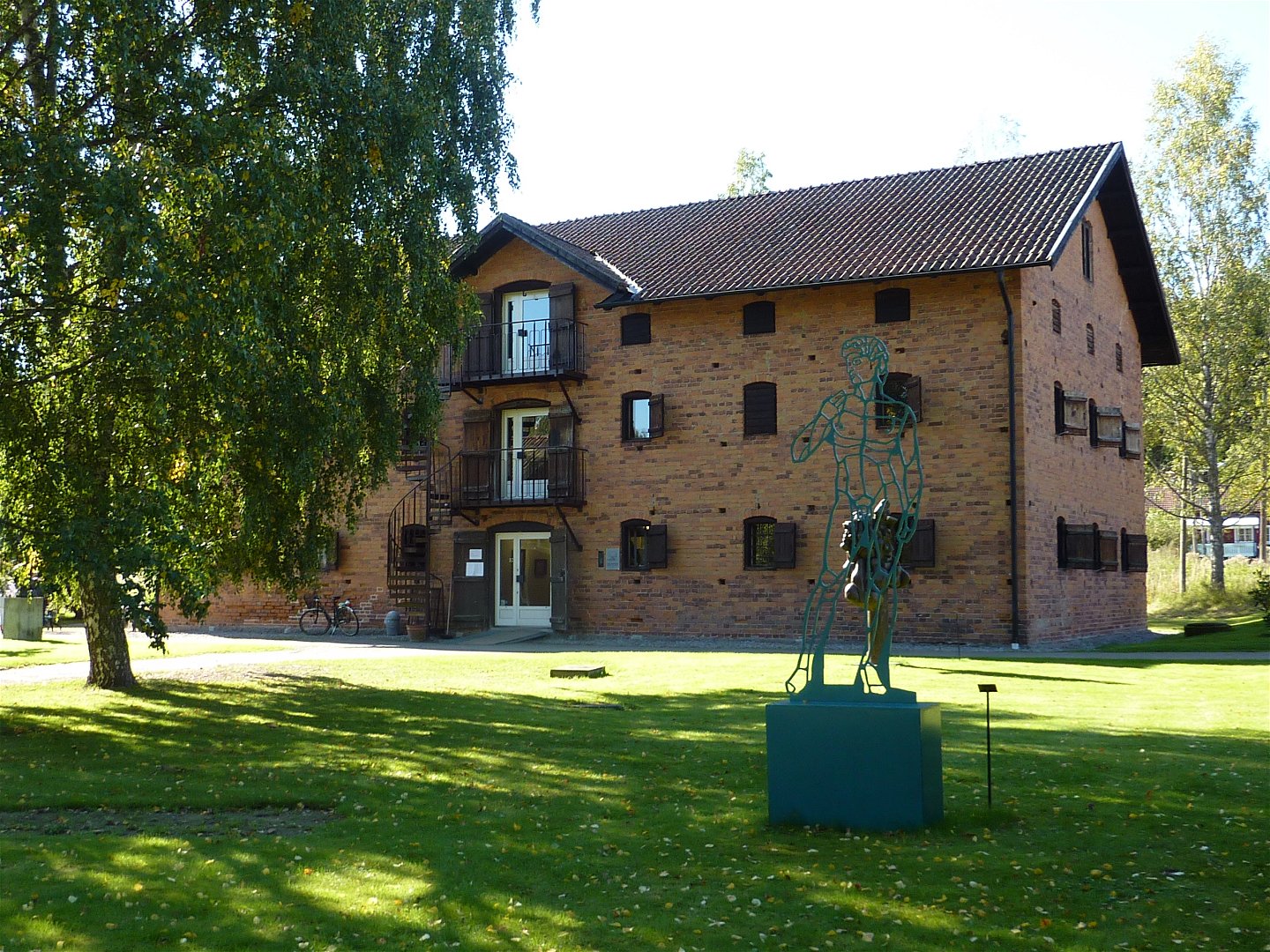
Along the whole of the old KUJ track you can see traces of the great days of the iron trade. In Karmansbo there is a preserved works environment with smithy, workers cottages and a working life museum that is open during the summer. In Oxbron the old railway guard’s hut remains, peacefully situated by Tomasbo lake. Pause and read about the work of the railway guard. In Uttersberg the trail takes you past an old iron works, it has a grand manor house, a park with sculptures, a gallery and a café.
Read more about this stage
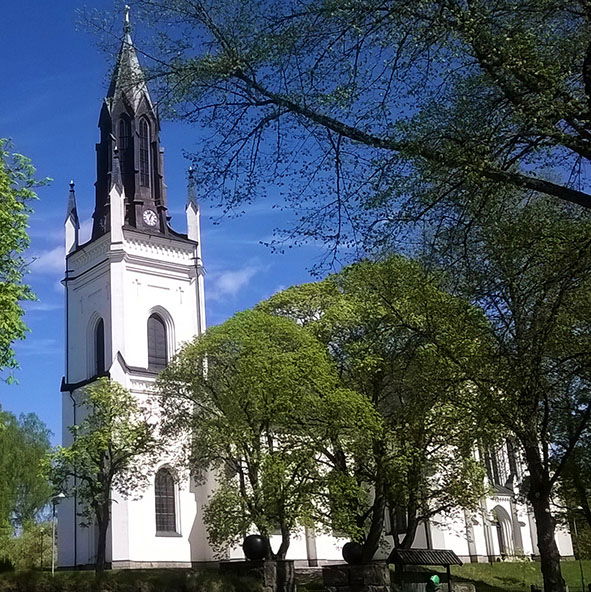
The trail starts at Hed's church and follows the old railway embankment along the KURJ railway for a long distance.
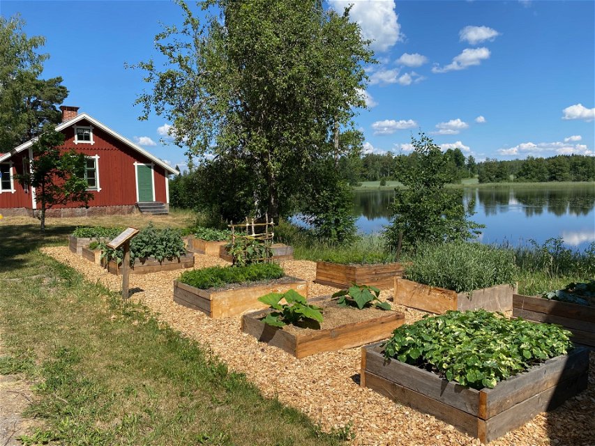
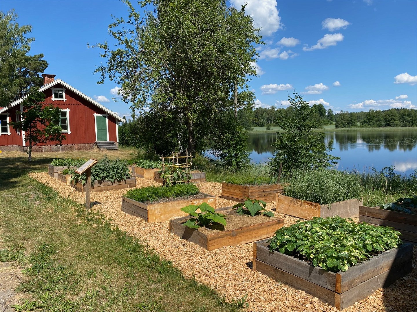
About 2 km after Hed, you come to the old Karmansbo hammer forge with it's museum showing the life of an iron worker in the 1800s. The smithy, which dates back to the 17th century, still works and on the first Saturday in July visitors can see the production of bar iron there.
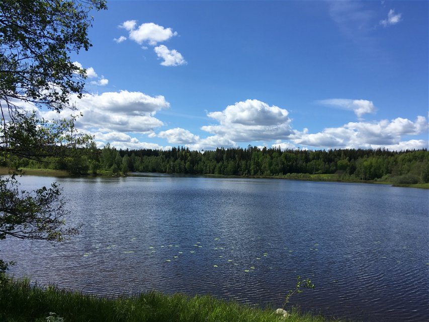
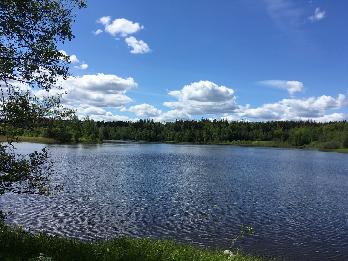
The hike passes by farmland and through forest areas. At Tomasbosjön you can enjoy a rest at the old track guard's cabin in Oxbron.
In Uttersberg, Romboleden passes Galleri Astely, which in addition to housing art exhibitions also serves coffee. After Uttersberg, the trail continues along the water Hedströmmen before the trail meanders into the forest.
After winding forest roads you approach Skinnskatteberg from the west side of the lake Nedre Vättern. Just before Skinnskatteberg's church, Skinnskatteberg's manor is passed, where SLU now has its School of Forestry.
Walk in the footsteps of the pilgrims
Romboleden (Rombo Way) is a pilgrimage route that people began using in the 11th century. The Romboleden is Sweden’s longest pilgrimage route at 900 kilometres long. It starts in Köping in Västmanland and finishes in Trondheim on the Norwegian Atlantic coast. If you walk the entire trail, you will experience a beautiful and varied landscape. You will walk on old chalet paths, over mountains with magnificent vistas and along narrow country gravel roads. You will find easy one-day walks with cafés along the way, and long treks that take several days. The route often passes through small villages.
Would you like to walk with a Pilgrim’s Passport and collect stamps from each stage? The medieval Pilgrim’s Passport allowed a pilgrim to walk in the whole of Europe without being stopped by rules or boundaries. These days it is just a nice memento. The Pilgrim’s Passport can be collected at several stage starting points and from the web page of Rombo Way.
Thanks to the landowners – show consideration when hiking
St Olav Rombo Way runs mainly through actively cultivated forest and agricultural land. Thanks to the generosity of the landowners and the cooperation with non-profit organizations, you have the opportunity to hike through landscapes that would otherwise be inaccessible.
As a hiker, it is important to remember that you are walking on someone else's land. Show consideration by sticking to the trail, avoiding to disturb animals, crops and ongoing work. Leave nature as you found it - or even better.
Leave nothing but footprints along the trail.
Toimintaa ja tilat
-
Vaellusreitit
-
Pyhiinvaellusreitti
Faktat
Toilets and drinking water at the churches.
Remember to check the opening hours for Karmansbo bruksmijö and Galleri Astley if you plan to visit, have a coffee or use the toilet at the site.
In some places the trail is poorly marked and support from a digital map is good. Keep in mind that this route passes through an unattended train crossing. Watch carefully and remember that the freight trains pass at high speed.
Pinta
The trail is mainly located on a well-established dirt road. A shorter section passes through forest and on a forest path. Closer to Skinnskatteberg's church the trail follows an asphalt road for about 500 m.
Pysäköinti
There are parking spaces at both Heds and Skinnskatteberg churches.
Viestintä
It is possible to travel by public transport to both start and finish points of the trail section, as well as at certain places along the trail.
Find out more about the buses at www.vl.se
Find out more about the trains at www.sj.se/en
Reittiohjeet
The nearest bus station for the start of the stage is Hed in Skinnskatteberg, a 13-minute walk to the church.
Nearest bus station for stage end is Klockarberget in Skinnskatteberg, 7 minutes' walk from the church.
You will find Hed's church along road 250 between Kolsva and Skinnskatteberg.
Skinnskatteberg's church is located inside Skinnskatteberg's urban area. From road 233, turn onto Kyrkvägen.
Asetukset
Thanks to the landowners – show consideration when hiking
St Olav Rombo Way runs mainly through actively cultivated forest and agricultural land. Thanks to the generosity of the landowners and the cooperation with non-profit organizations, you have the opportunity to hike through landscapes that would otherwise be inaccessible.
As a hiker, it is important to remember that you are walking on someone else's land. Show consideration by sticking to the trail, avoiding to disturb animals, crops and ongoing work. Leave nature as you found it - or even better.
Leave nothing but footprints along the trail.
Whenever you visit Swedish nature you have a Right to public access. Read more about it here.
As a hiker you are sometimes walking in protected nature with specific rules and regulations. You are responsible for making sure you are following the rules. You can read more about it at the Swedish Environmental Protection Agency and the County Administrative Board.
As a hiker, you are responsible for finding out about any local regulations, paying attention to traffic and showing consideration for others who share the trail with you.
Remember to only start camp fires in established barbecue areas and ensure that there is no fire ban in your area.
Remember that rational agriculture or forestry may occur along the trail.
Lataukset
Huomaa, että osa näistä teksteistä on käännetty automaattisesti.
Kysymykset & vastaukset (Q&A)
Esitä kysymys muille Naturkartan-käyttäjille.


