47 naturreservat i Biosfärområde Blekinge Arkipelag
Inom Biosfärområde Blekinge Arkipelag hittar du 47 naturreservat som alla erbjuder olika, men lika fantastiska…


Natuurgebied
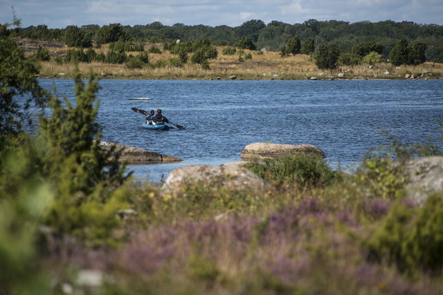
A varied landscape in an area ideal for walks at the mouth of the Bräkneån river.
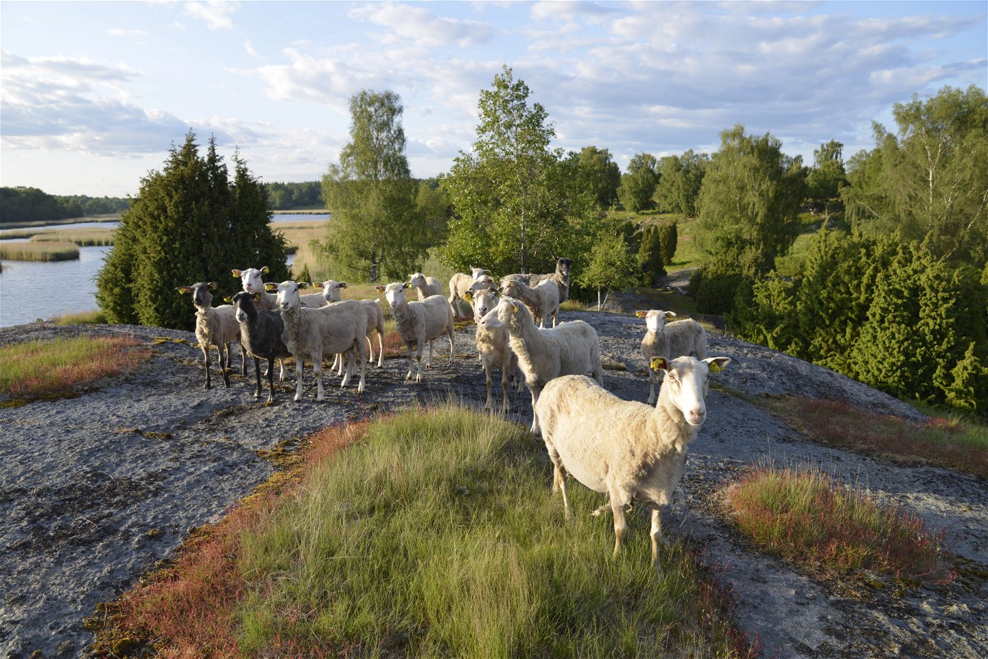
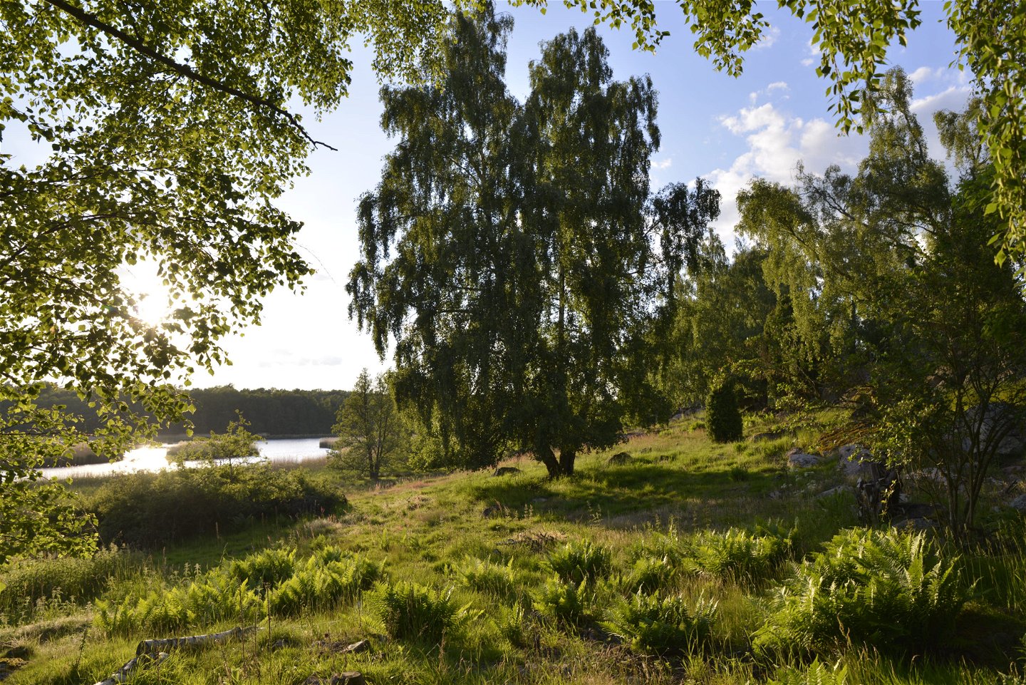
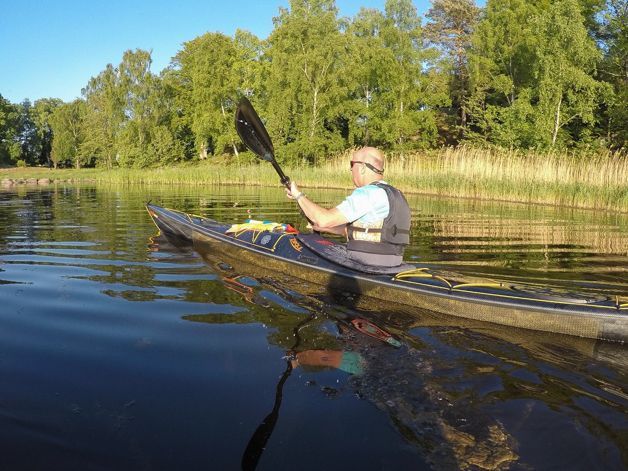
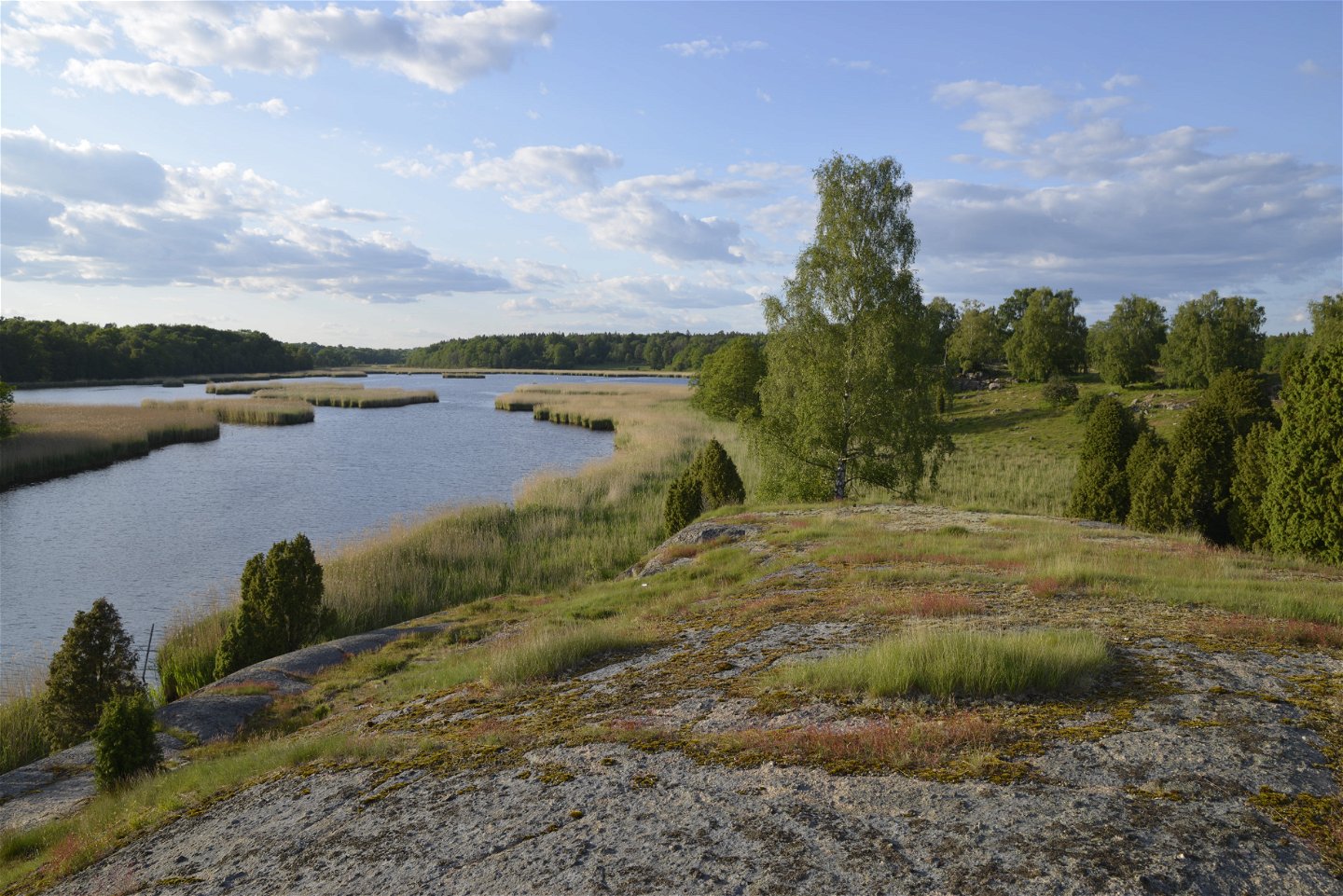
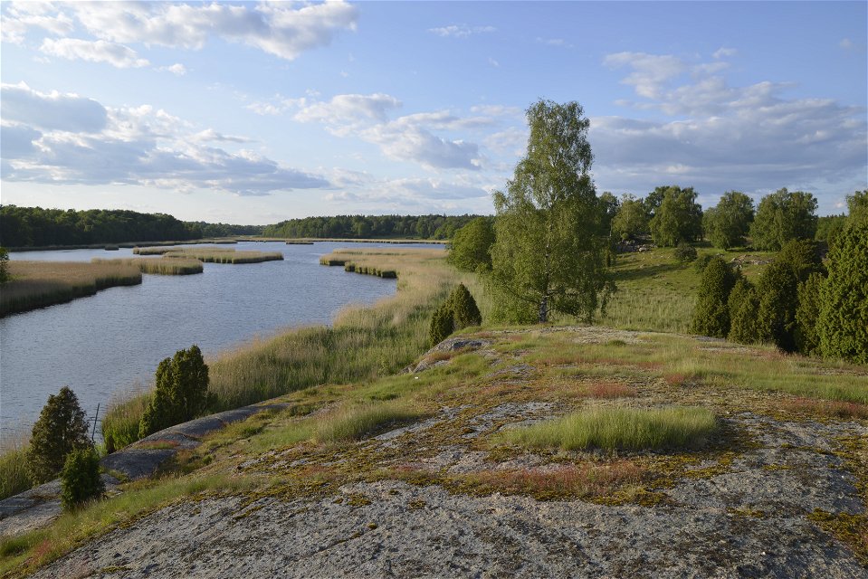
The nature reserve borders the inlet Väbyfjorden and covers a hilly landscape with areas of reeds, coastal meadows, forest, rocky outcrops and pasture land. The reserve also includes the island of Kalvö.
It is popular with walkers and has a rich flora. The stock dove nests here, and the many plants of early summer include several species of orchid.
The rules for the nature reserve are shown in the link below, but, for example, you may not pick flowers between 1 April and 30 June, dogs must be kept on a lead and you are not allowed to park a caravan/pitch a tent or light a fire.
Source: County Administrative Board
Natuurgebied
Year of protection: 1973
Municipality: Ronneby municipality
Character: Hedgerows, coastal meadows, rocky areas, island, marine environment in bay
Area: 63 hectares, of which 39 hectares are land and 24 hectares water
Landowner: Private and state
Administrator: Blekinge County Administrative Board
Form of protection: Nature reserve and Natura 2000
Turn off the E22 at junction 55 towards Bräkne-Hoby and follow the signs to Järnavik. After about 1.5 kilometres, turn left, signposted Järnavik. After about 2 kilometres, turn left, signposted Saxemara. Turn left after 700 metres, signposted Sonekulla. You will pass Sonekulla after 3 kilometres. Follow signs to Biskopsmåla. After 1 kilometre, you will find the nature reserve next to the road on the left-hand side.
You are welcome to visit Sonekulla, but please note that it is not allowed to:
Länsstyrelsen Blekinge
![]()
Houd er rekening mee dat sommige teksten automatisch zijn vertaald.
Stel een vraag aan andere Naturkartan gebruikers.
Inom Biosfärområde Blekinge Arkipelag hittar du 47 naturreservat som alla erbjuder olika, men lika fantastiska…
