


Vandring längs ARK56 i Blekinge - upptäck enastående naturskatter och dig själv
Oavsett om du är hardcore-hiker och vill vandra i en vecka, eller om du vill…

Hiking
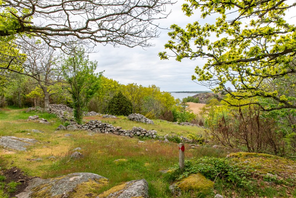
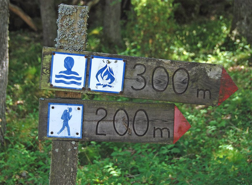
This walk offers bare rock with oak woodland, steep cliffs with farmed rift valleys and beautiful views across the archipelago. The rock plunges steeply down into the inlet from a height of 30 metres and there are clear traces of the effect of the inland ice. The silhouette of Karlskrona can be seen over the forest. There is a barbecue area, shelter and toilet along the route.
Hiking
Blekinge Arkipelag
Kurpromenaden 4
372 36 Ronneby
Team ARK56
![]()
Houd er rekening mee dat sommige teksten automatisch zijn vertaald.
Stel een vraag aan andere Naturkartan gebruikers.
Oavsett om du är hardcore-hiker och vill vandra i en vecka, eller om du vill…
