


Hiking along ARK56 in Blekinge - discover beautiful nature and yourself
Regardless of whether you are a hardcore hiker and want to hike for a week,…

Hiking
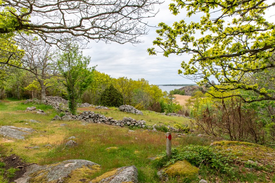
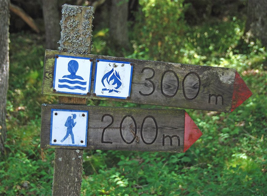
This walk offers bare rock with oak woodland, steep cliffs with farmed rift valleys and beautiful views across the archipelago. The rock plunges steeply down into the inlet from a height of 30 metres and there are clear traces of the effect of the inland ice. The silhouette of Karlskrona can be seen over the forest. There is a barbecue area, shelter and toilet along the route.
Hiking
Blekinge Arkipelag Kurpromenaden 4 372 36 Ronneby
Team ARK56
![]()
Ask a question to other Naturkartan users.
Regardless of whether you are a hardcore hiker and want to hike for a week,…
