
-

-

-

-

-

-

-

Missa inte att göra en avstickare ut på vackra Sikareveln -

Destination Möckelsnäs. -

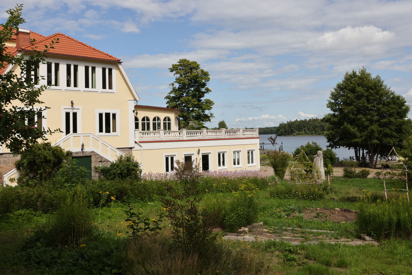
Möckelnsnäs herrgård

Möckelsnässlingan
Hiking
- Regio: Kronobergs län
- 6789.44 km van u vandaan
Pad details
- Lengte 8.0 km
Acties
Momenteel
Work is ongoing!
As a new hiking trail, Möckelsnässlingan, which is part of the Eastern Möckelnleden, is still under development.
Orange poles are found along the entire loop. During the summer, referral signs and arrows will be placed out to make it easier for hikers to find the right one. _
We work continuously to develop and improve the joint to create the best possible experience. We appreciate your understanding of any temporary defects
Omschrijving
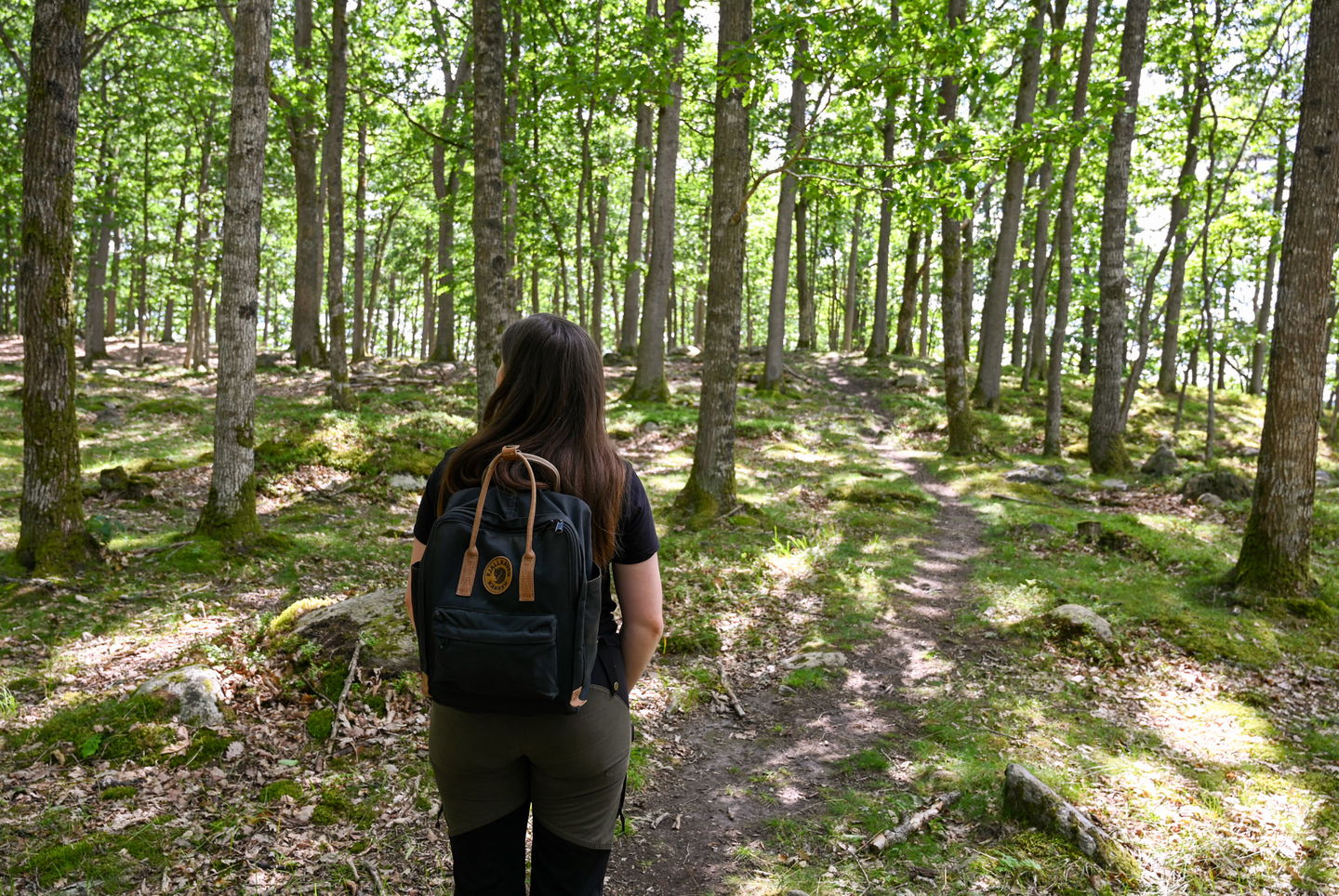
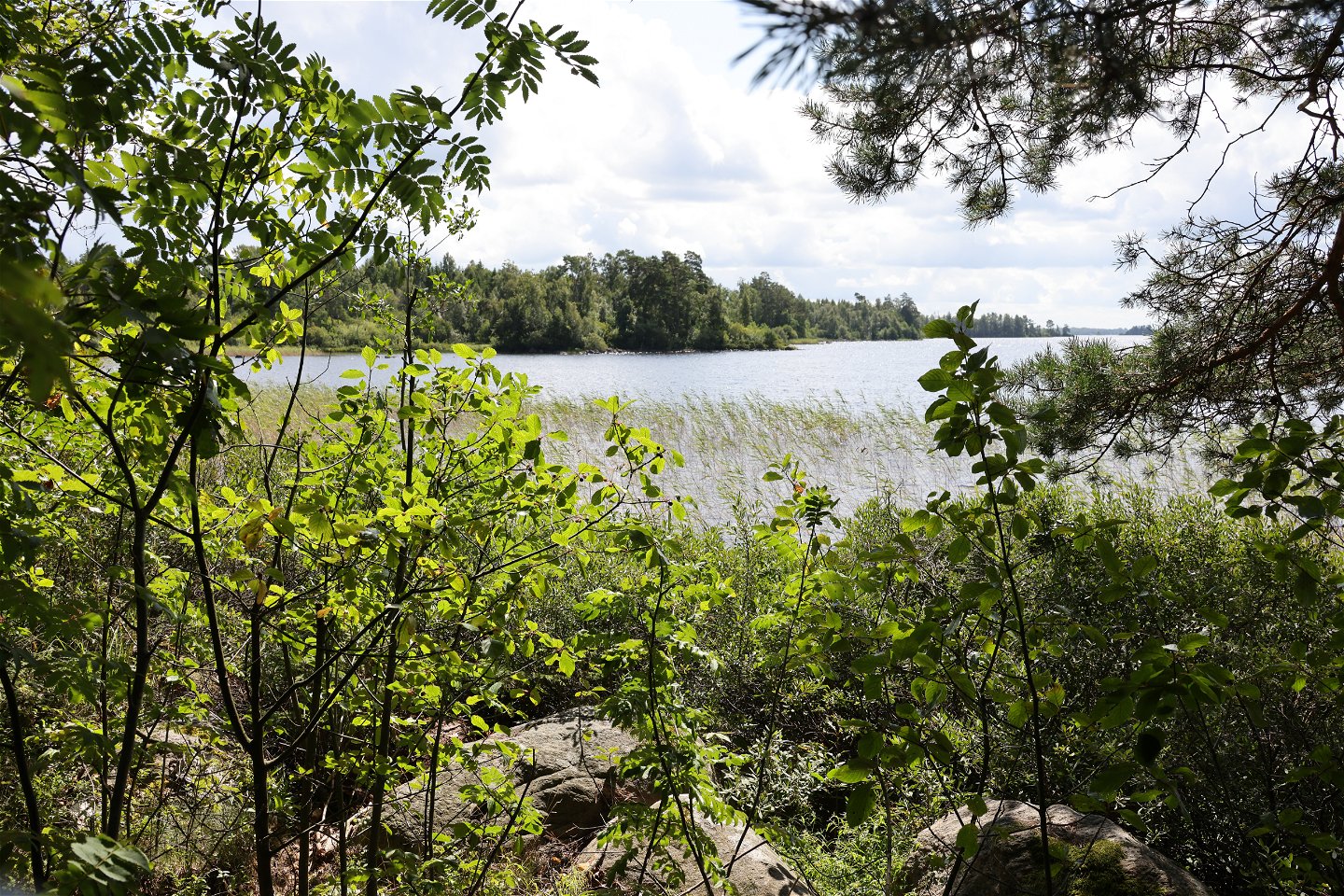
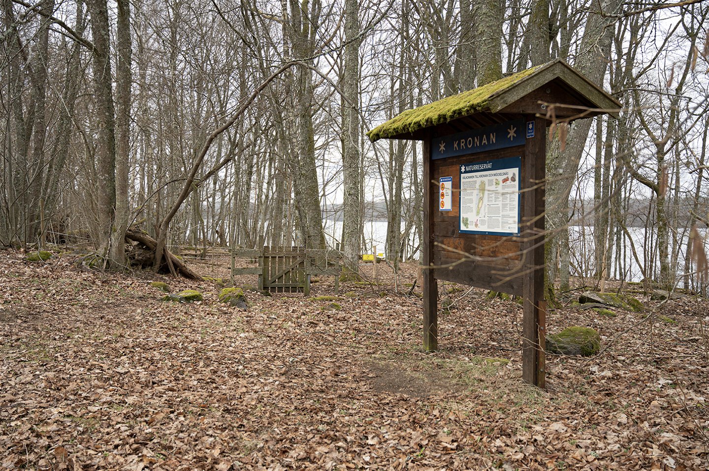
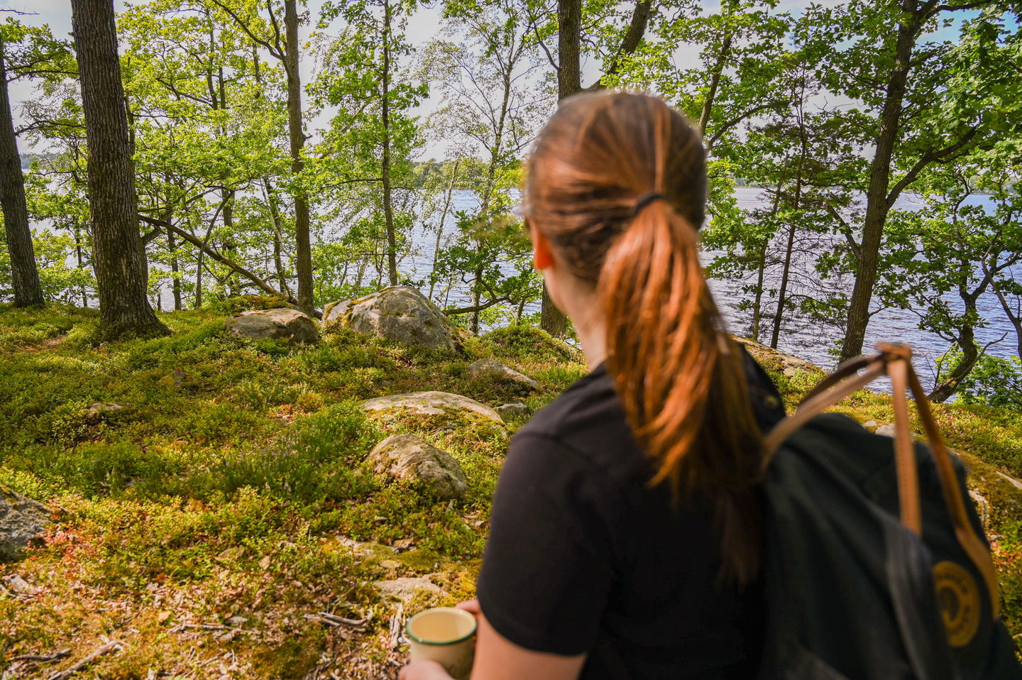
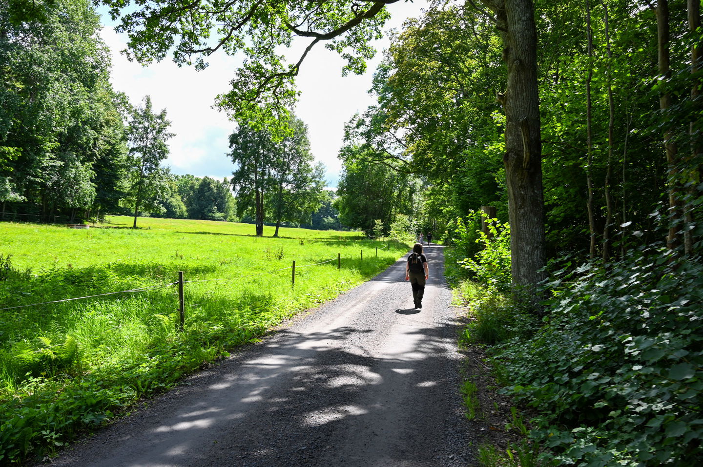
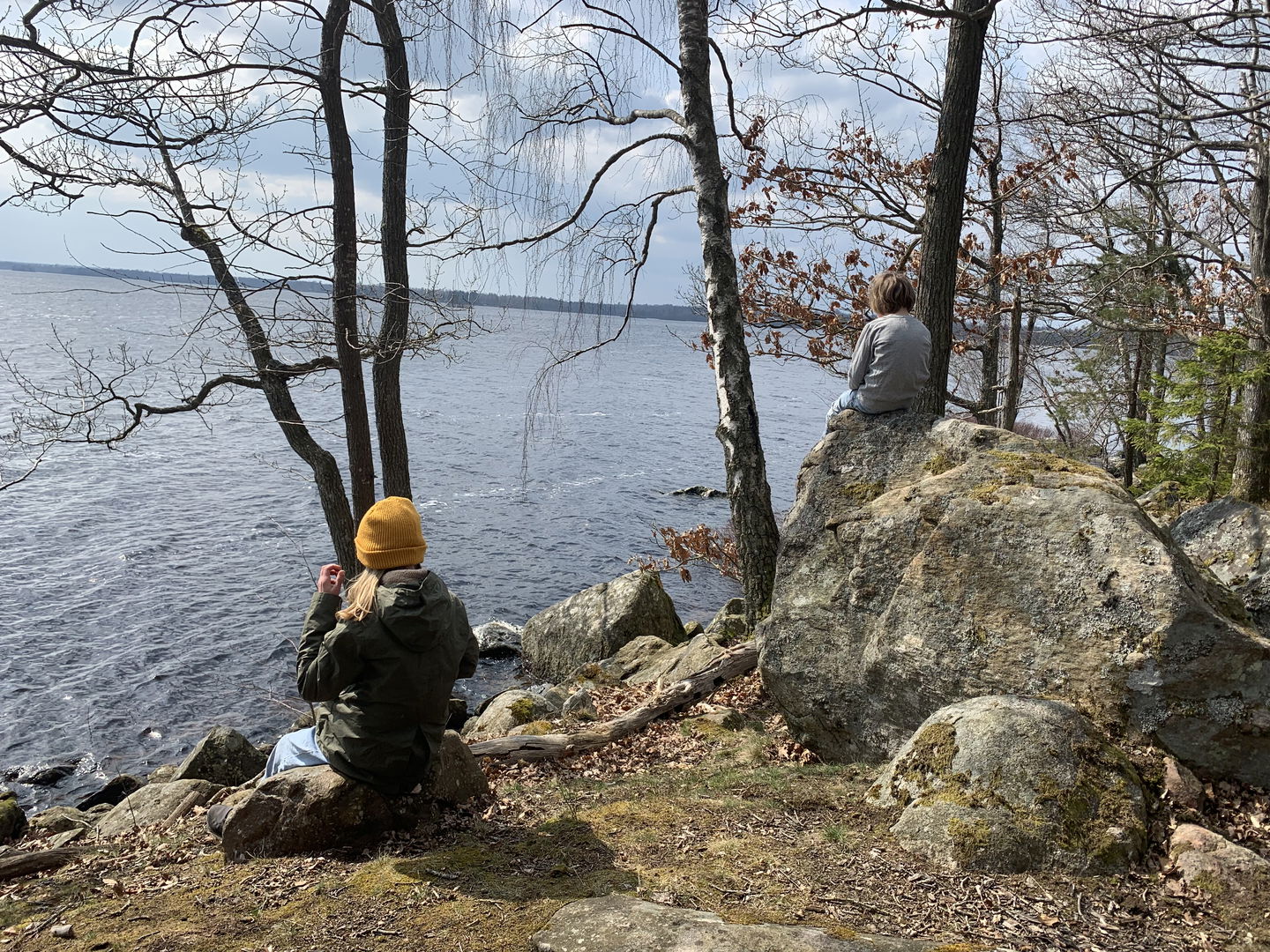
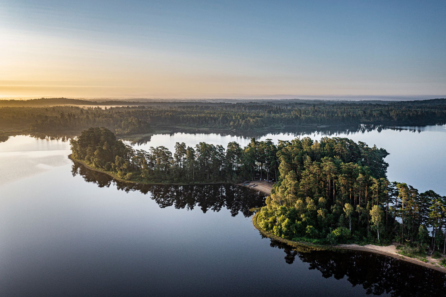
The Möckelsnässlingan trail takes you to the outermost part of the peninsula, through the Kronan and Möckelsnäs nature reserves.
Here, you can let yourself be enveloped by the magic of the deciduous trees and experience the unique flora with ferns, mosses, and rare lichens.
Read more about Kronan nature reserve
Read more about Möckelsnäs nature reserve
Möckelsnässlingan is a part of Östra Möckeln hiking trail.
Activiteiten en faciliteiten
-
Hiking
-
 Rennen
-
 Wandelen
-
 Avontuur voor kinderen
-
 Rond pad
Feiten
##Leadmarking and signage
Work on the trail and signage of the entire Eastern Möckeln hiking trail is ongoing throughout 2023. Entrance signs with maps and information about the area will be placed in Möckelsnäs, Stenbrohult, Diö and Linnaeus Råshult.
Parkeren
Parking opportunities at Destination Möckelsnäs or at the nature reserve Kronan
Contact
E-mailadres
Älmhults turistinformation
Houd er rekening mee dat sommige teksten automatisch zijn vertaald.
Vragen en antwoorden
Stel een vraag aan andere Naturkartan gebruikers.
Beoordelingen
Misschien bent u ook geïnteresseerd in
