
-

-

-

-

-

-

-

Missa inte att göra en avstickare ut på vackra Sikareveln -

Destination Möckelsnäs. -

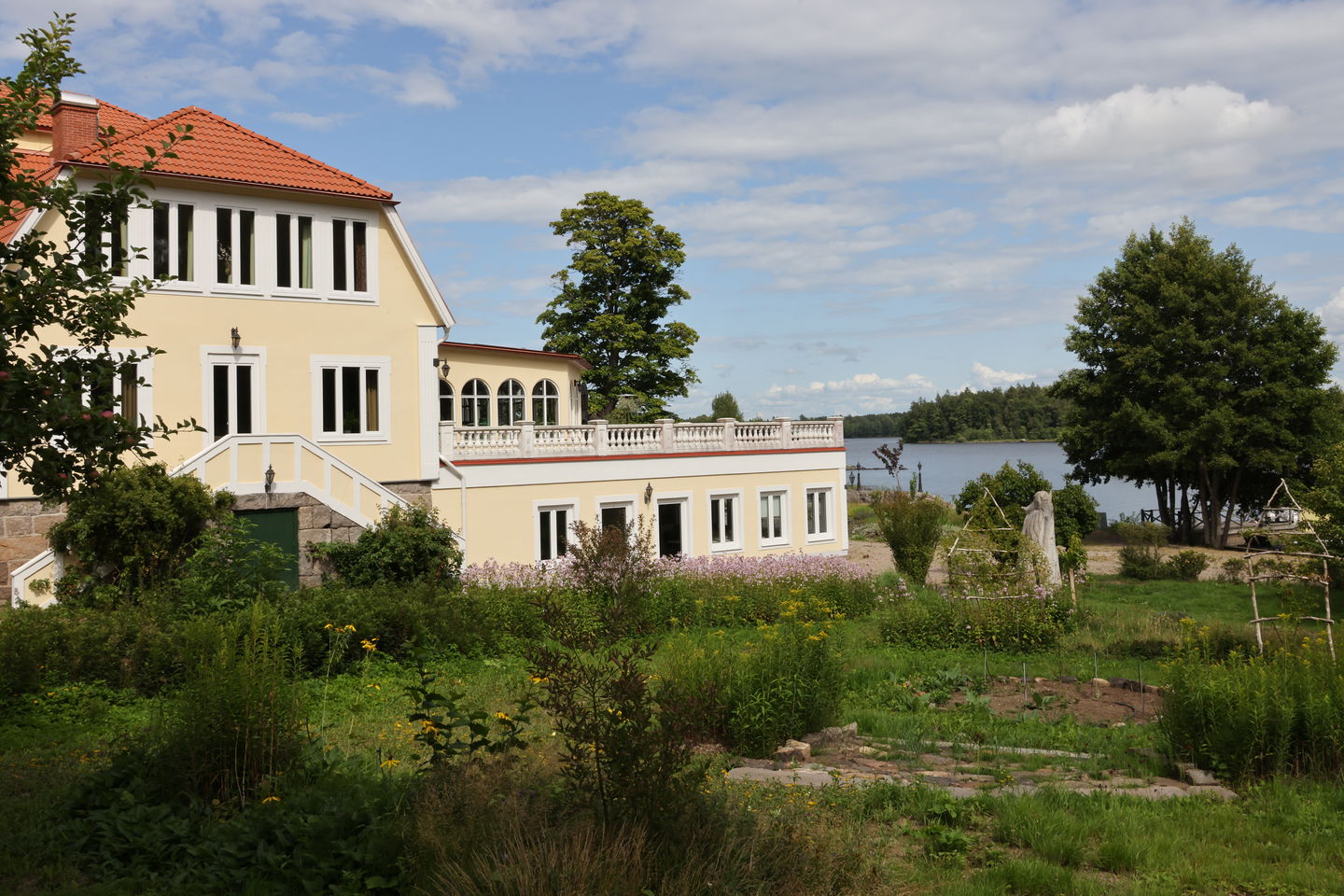
Möckelnsnäs herrgård

Möckelsnässlingan
Wędrówki piesze
- Województwo: Kronobergs län
- 6789.44 km od Ciebie
Szczegóły dotyczące szlaku
- Długość 8.0 km
Akcje
Obecnie
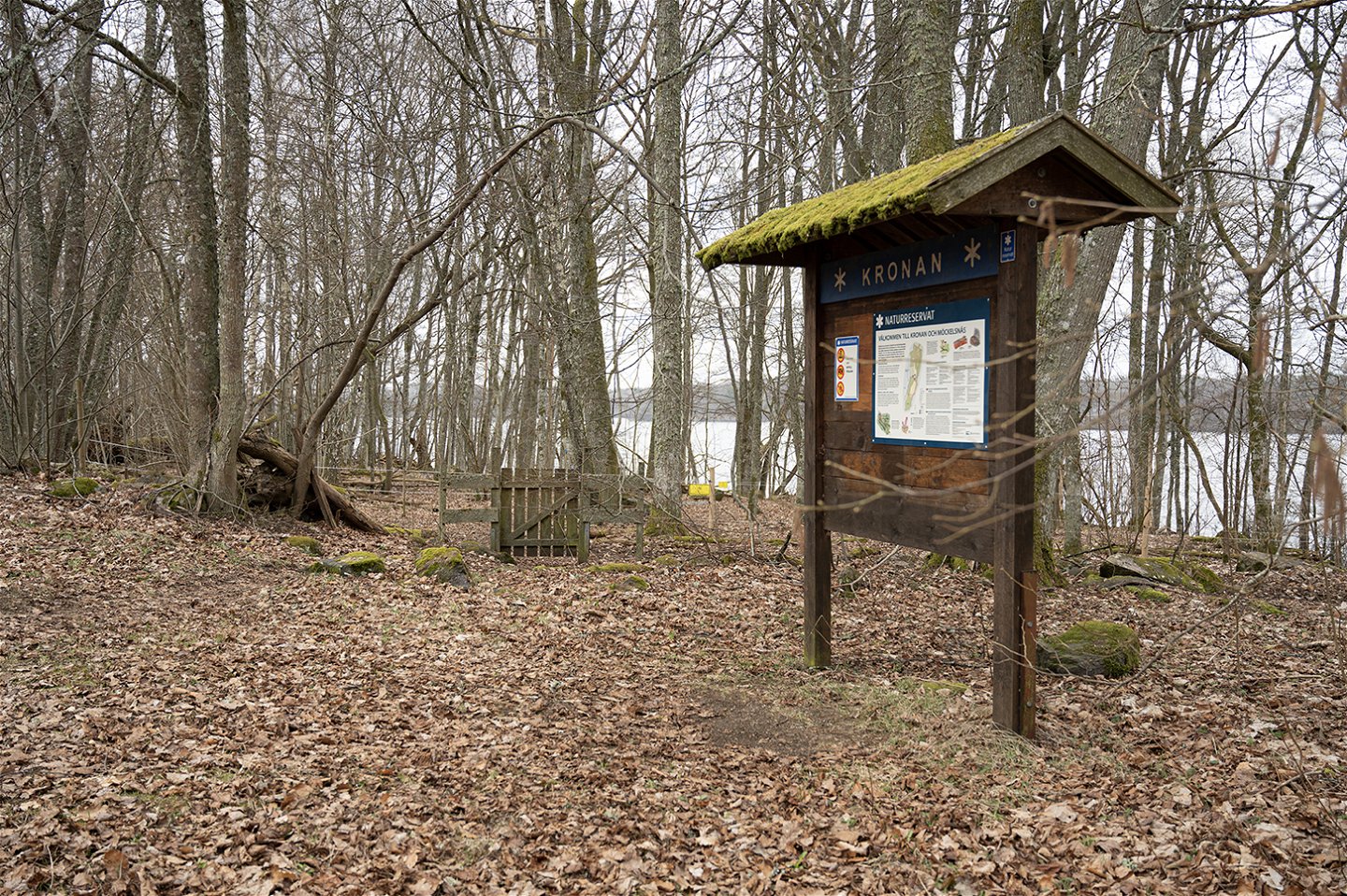
_OBS! Work in progress!
As a new hiking trail, the Möckelsnässlingan, which is part of the Östra Möckelnleden, is still under development.
Orange posts are located along the entire loop. During the summer, directional signs and arrows will be placed to make it easier for hikers to find their way._
We are continuously working to develop and improve the trail to create the best possible experience. We appreciate your understanding for any temporary shortcomings.
Opis
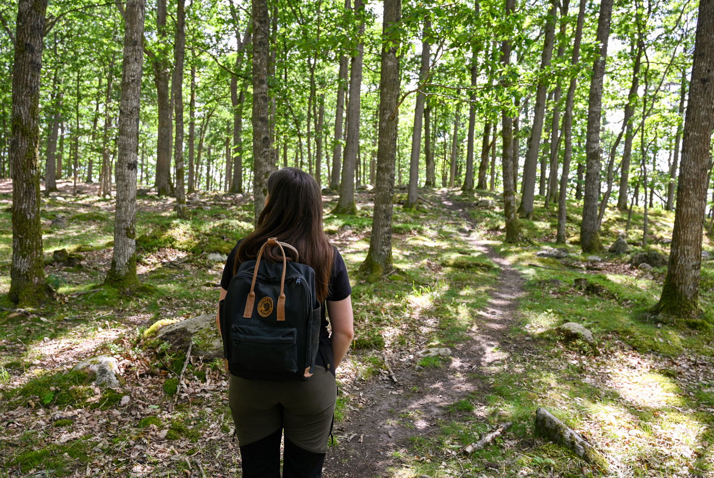
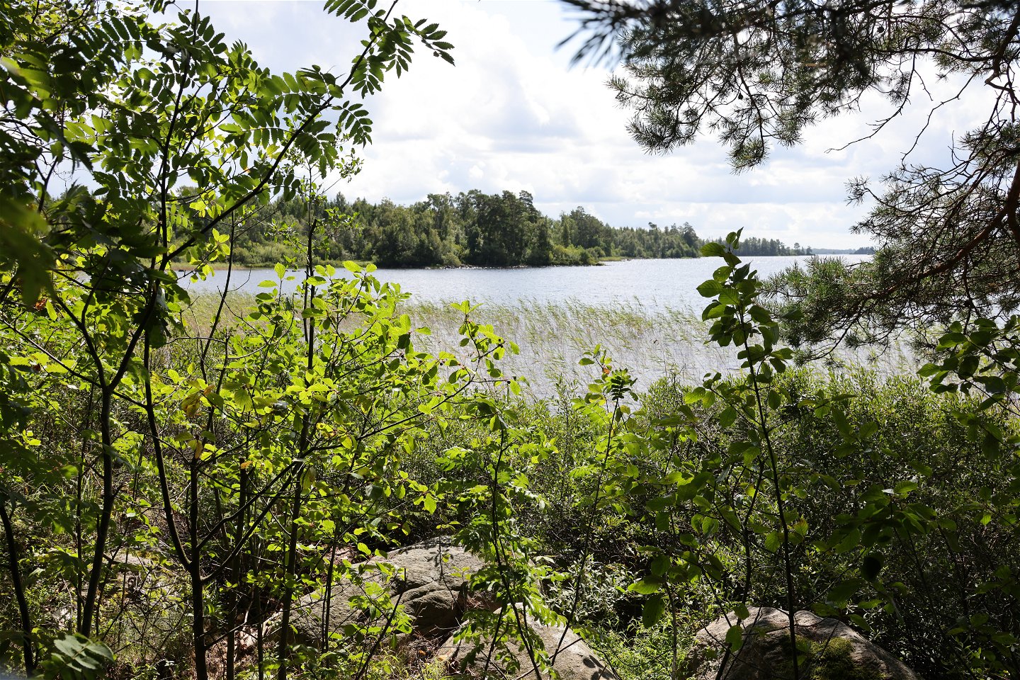
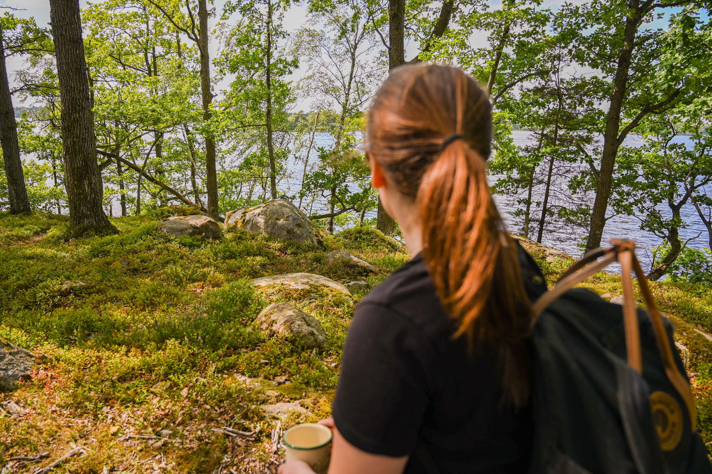
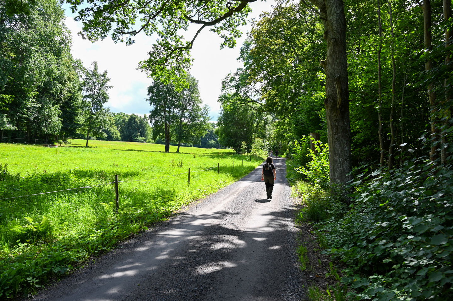
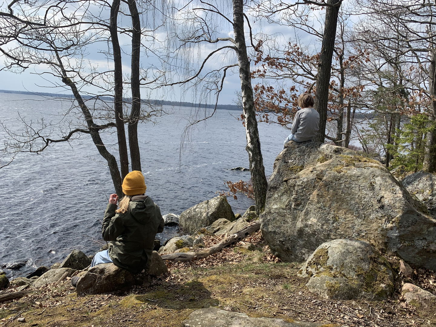
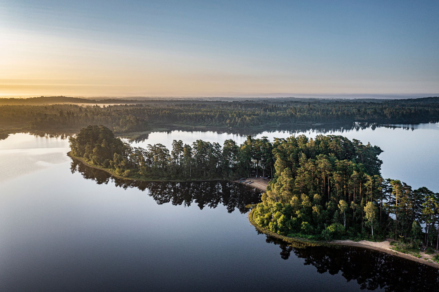
The Möckelsnässlingan trail takes you to the outermost part of the peninsula, through the Kronan and Möckelsnäs nature reserves.
Here, you can let yourself be enveloped by the magic of the deciduous trees and experience the unique flora with ferns, mosses, and rare lichens.
Read more about Kronan nature reserve
Read more about Möckelsnäs nature reserve
Möckelsnässlingan is a part of Östra Möckeln hiking trail.
Działania i udogodnienia
-
Wędrówki piesze
-
 Bieganie
-
 Promenad
-
 Barnäventyr
-
 Rundslinga
Fakty
Ledmarkering och skyltning
Arbetet med ledmarkering och skyltning av hela Östra Möckelns vandringsled pågår under hela 2023. Entréskyltar med kartor och information om området kommer placeras i Möckelsnäs, Stenbrohult, Diö och Linnés Råshult.
Parking
Parking facilities at Destination Möckelsnäs or at the Kronan nature reserve
Kontakt
Adres e-mail
Älmhults turistinformation
Należy pamiętać, że niektóre z tych tekstów zostały przetłumaczone automatycznie.
Pytania i Odpowiedzi
Zadaj pytanie innym użytkownikom Naturkartan.
Recenzja
Może zainteresują Cię również
