

Rundslinga Amboberget
Hiking
- Regio: Örebro län
- 6683.97 km van u vandaan
Pad details
- Lengte 12.5 km
- Moeilijkheidsgraad Blauw - medium
Acties
Momenteel
Most water taps are closed during the period 1/11 - 15/4. This is because of the risk of pipes freezing. However, nature's water reserves are well stocked during that period.
Omschrijving
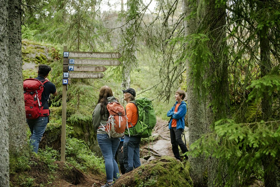
Marked with blue symbols, the trail takes you through the Amboberget Nature Reserve before linking up to Stages 7 and 8. Take a break at the top of the steep Amboberget Hill, where your efforts will be well rewarded with excellent views. Discover the cave area at Skärmarboda along the way.
Activiteiten en faciliteiten
-
Hiking
-
 Rond pad
Feiten
Time: 3-4 h
Routebeschrijving
At Mogetorp there is a bus stop that is served daily by Länstrafiken.
Downloads
Contact
E-mailadres
Johan Karlström
Organisatie-logotype
![]()
Houd er rekening mee dat sommige teksten automatisch zijn vertaald.
Vragen en antwoorden
Stel een vraag aan andere Naturkartan gebruikers.
