

Rundslinga Amboberget
Wędrówki piesze
- Województwo: Örebro län
- 6683.97 km od Ciebie
Szczegóły dotyczące szlaku
- Długość 12.5 km
- Trudność Niebieski - średni
Akcje
Obecnie
Most water taps are closed during the period 1/11 - 15/4. This is because of the risk of pipes freezing. However, nature's water reserves are well stocked during that period.
Opis
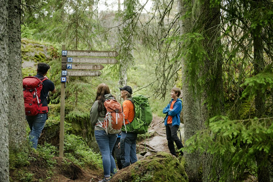
Marked with blue symbols, the trail takes you through the Amboberget Nature Reserve before linking up to Stages 7 and 8. Take a break at the top of the steep Amboberget Hill, where your efforts will be well rewarded with excellent views. Discover the cave area at Skärmarboda along the way.
Działania i udogodnienia
-
Wędrówki piesze
-
 Rundslinga
Fakty
Time: 3-4 h
Wskazówki dojazdu
At Mogetorp there is a bus stop that is served daily by Länstrafiken.
Pliki
Kontakt
Adres e-mail
Johan Karlström
Logotyp organizacji
![]()
Należy pamiętać, że niektóre z tych tekstów zostały przetłumaczone automatycznie.
Pytania i Odpowiedzi
Zadaj pytanie innym użytkownikom Naturkartan.
