20 naturreservat i Motala kommun
I Motala kommun finns det idag 20 naturreservat. Naturreservat bildas av länsstyrelsen eller kommunen för…


Natuurgebied
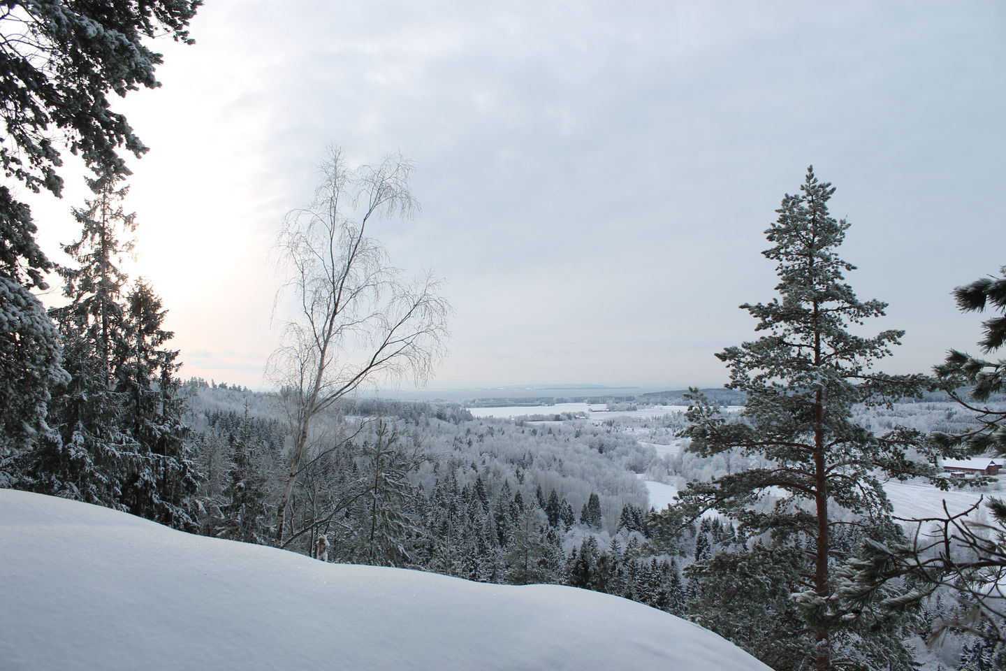
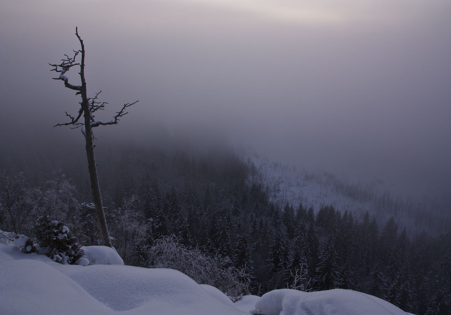
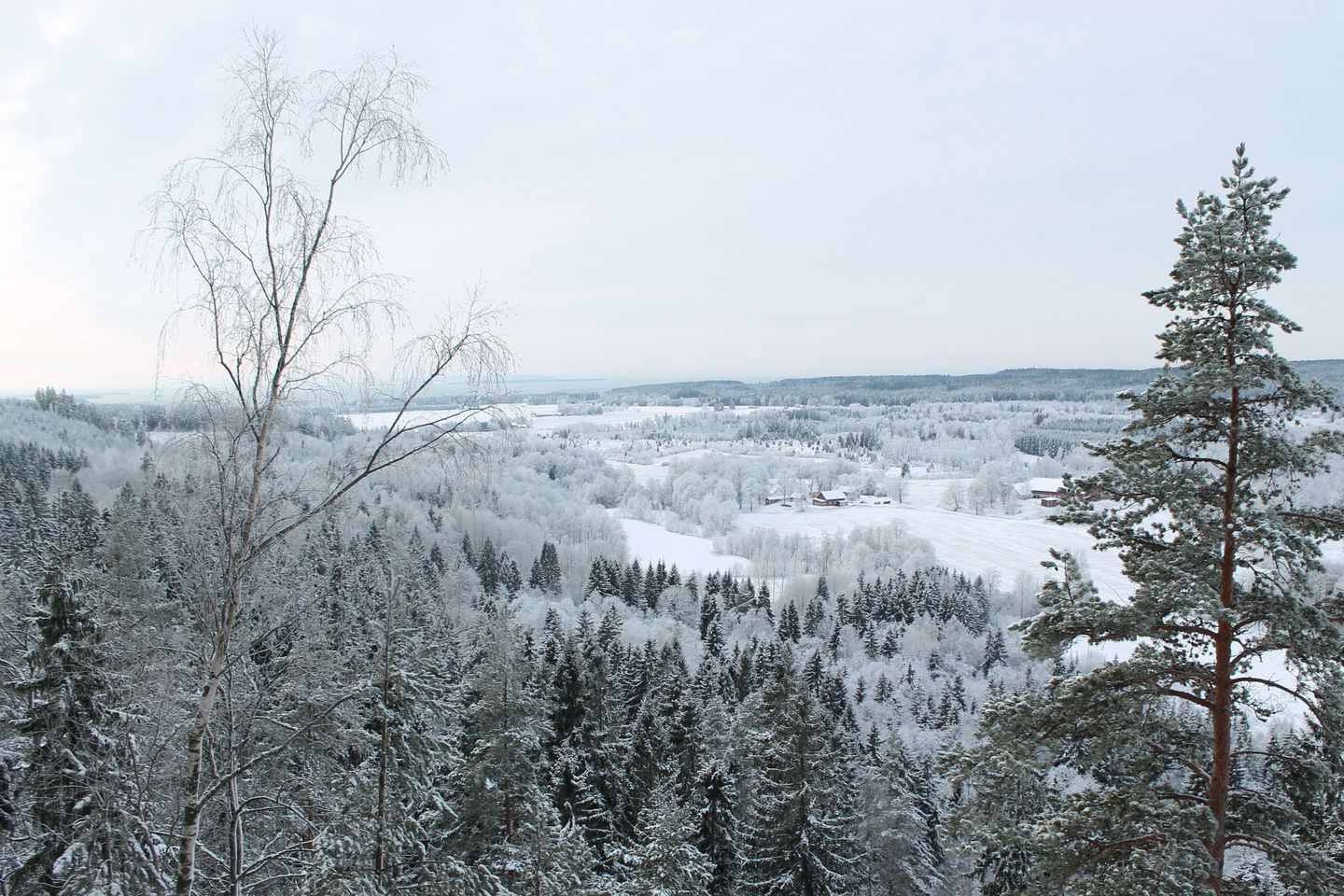
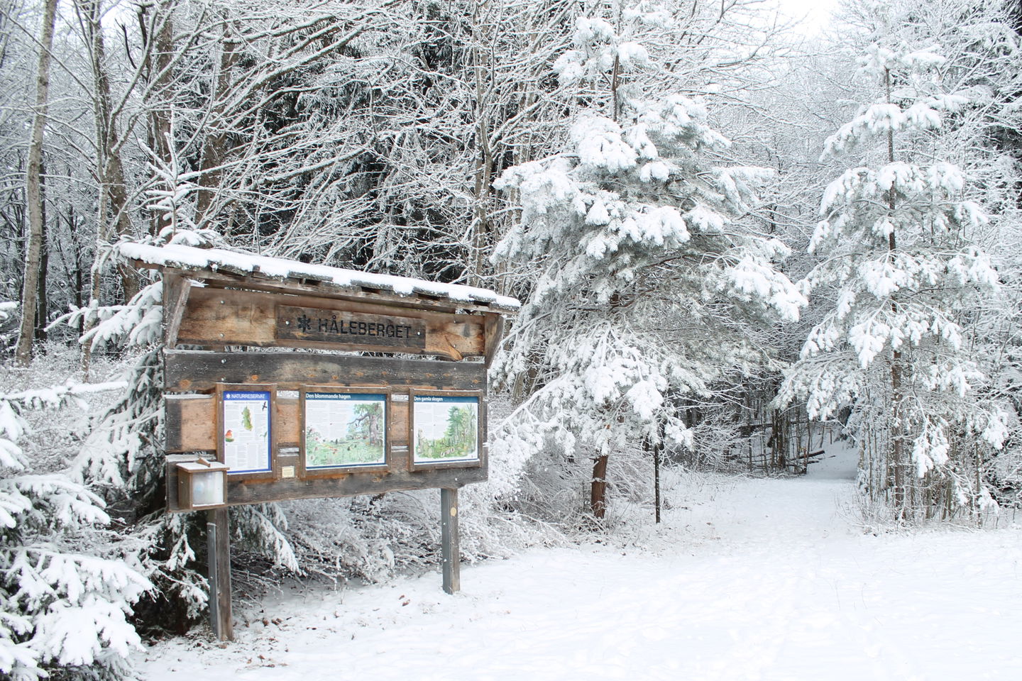
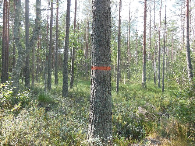
Just under 10 km north of Motala is Håleberget nature reserve. In the reserve you can get from the untouched, primeval forest-like nature of the slopes, to herb-rich pastures where plants and animals have survived from the time of meadow farming. From the highest peak of the mountain, 235 meters above sea level, you have a wonderful view over Omberg and Lake Vättern. At Håleberget there are two hiking trails to choose from; the yellow marked one which is 700 m long and the orange marked one which is 2.1 km long. In wet weather, it becomes slippery, and it is steep at the lookout points. Walk carefully!
The nature reserve is managed by Länsstyrelsen Östergötland.
Natuurgebied
 Bewerkers keuze
 Nabij parkeerplaats
Size : 48 hectares
Year of protection : 2003
Municipality: Motala
Landowner : private
Administrator : County Administrative Board of Östergötland
Directions: From Motala take highway 50 north about 4 km, turn right towards Stora Ängseby about 1 km, then turn left onto gravel road after about 2 km. Then you come from the south. It is not possible to drive to the reserve from the west past Soldattorpet!
*Regler för dig som besökare i Hålebergets naturreservat:
Dessutom behöver du har Länsstyrelsens tillstånd för att få:
*Detta är ett kortfattat utdrag från beslutet om Hålebergets naturreservat från 2003.
Kontakta mig om du har frågor om Motalas Naturkarta.
Hilda-Linn Berglund
![]()
Houd er rekening mee dat sommige teksten automatisch zijn vertaald.
Stel een vraag aan andere Naturkartan gebruikers.
I Motala kommun finns det idag 20 naturreservat. Naturreservat bildas av länsstyrelsen eller kommunen för…
