


Kisa - Horn, Östgötaleden
Wędrówki piesze
- Województwo: Östergötlands län
- 6588.37 km od Ciebie
Szczegóły dotyczące szlaku
- Długość 25.1 km
- Trudność Zielony - prosty
Akcje
Opis
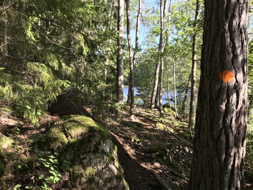
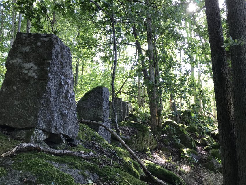
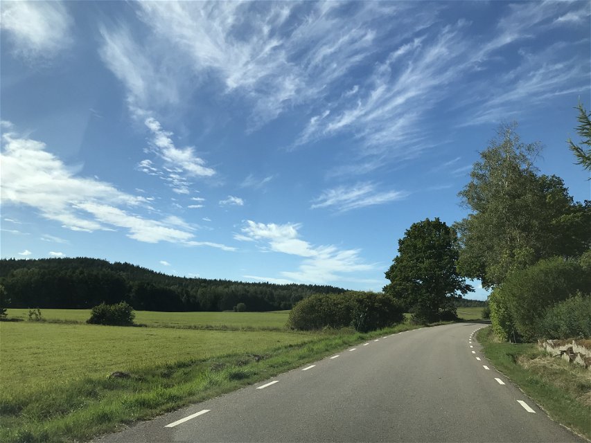
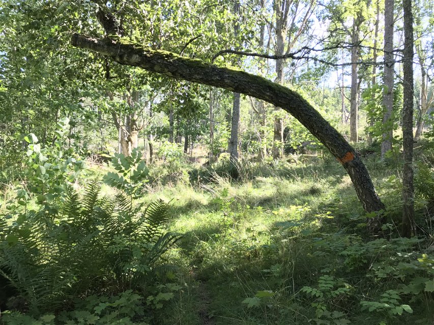
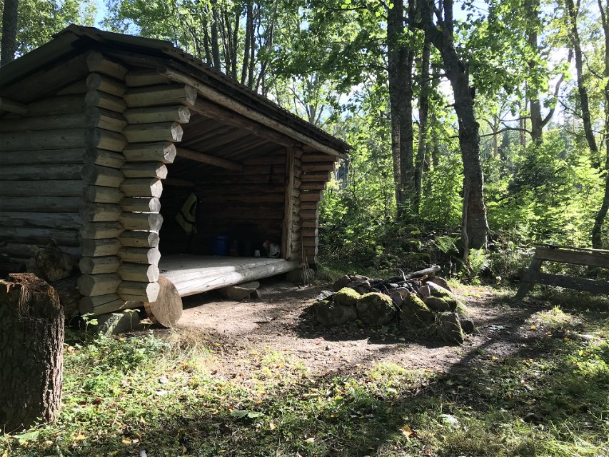
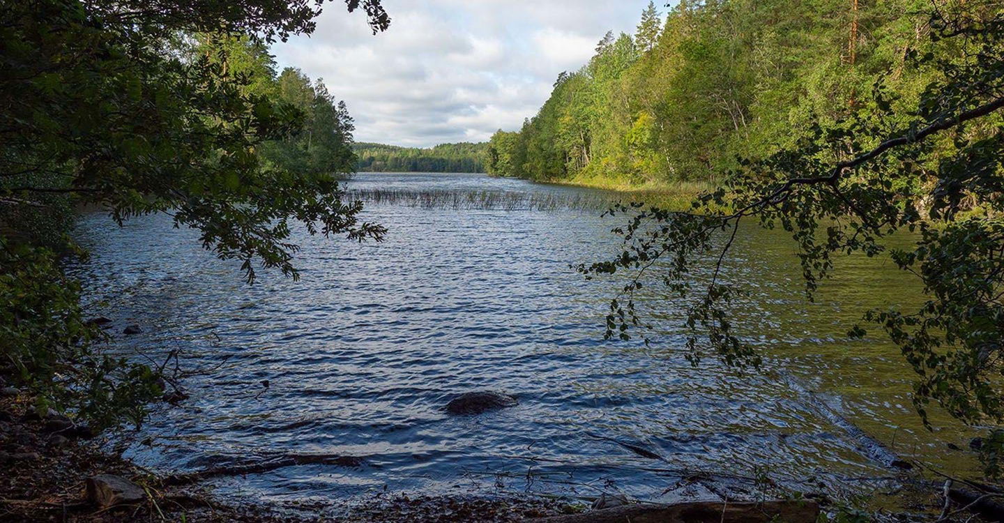
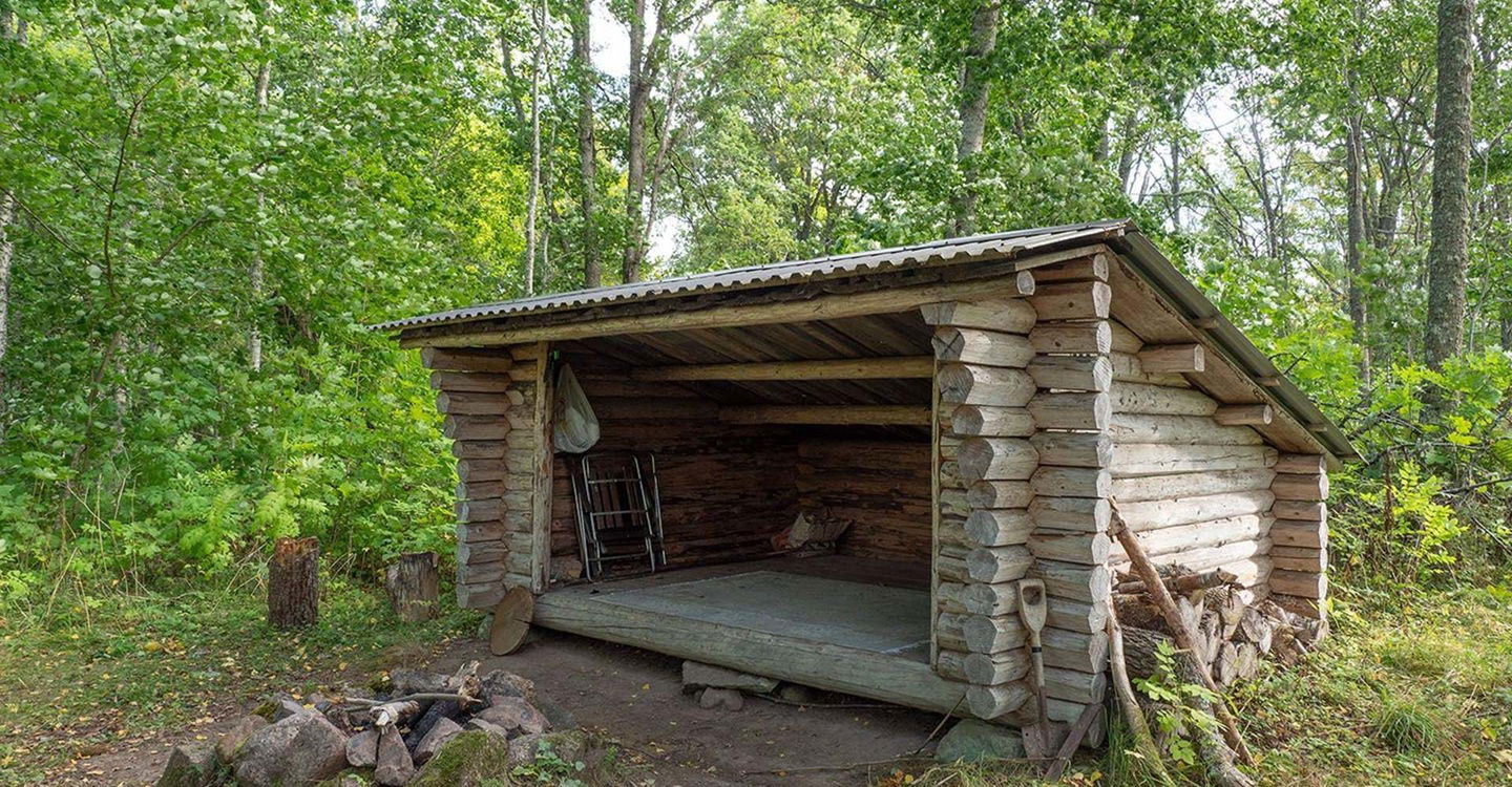
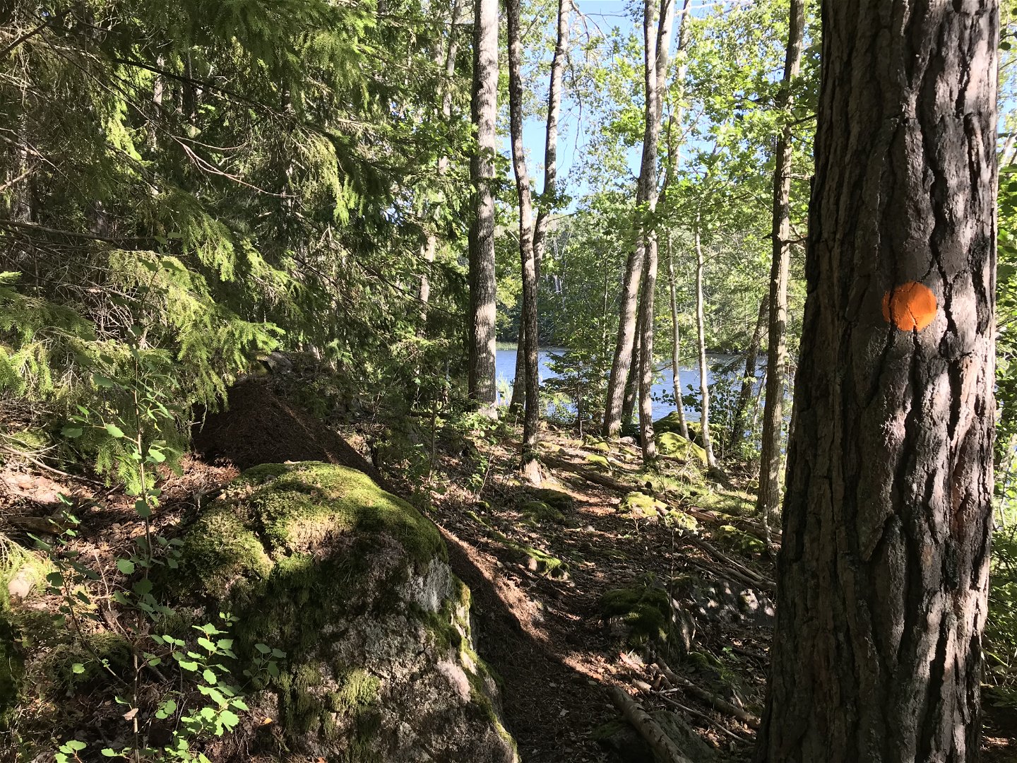
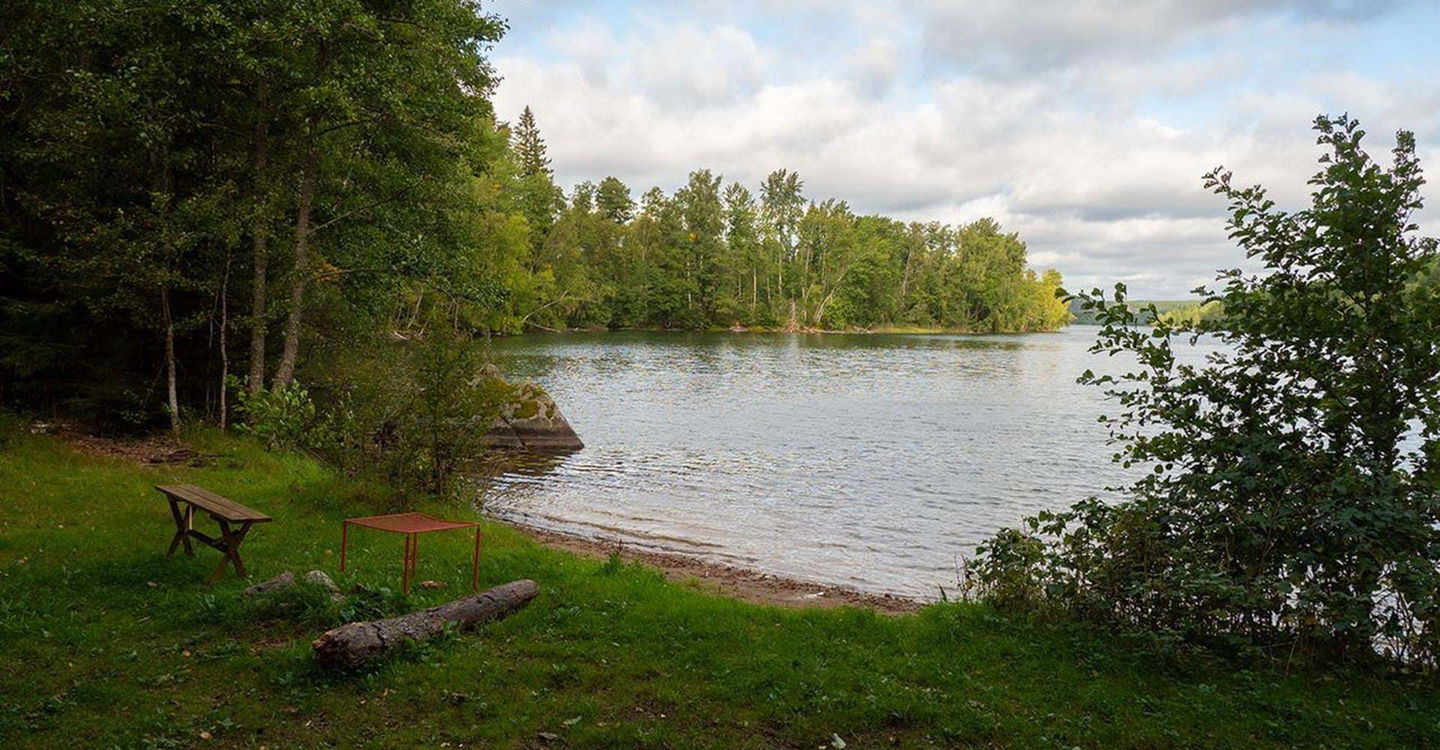
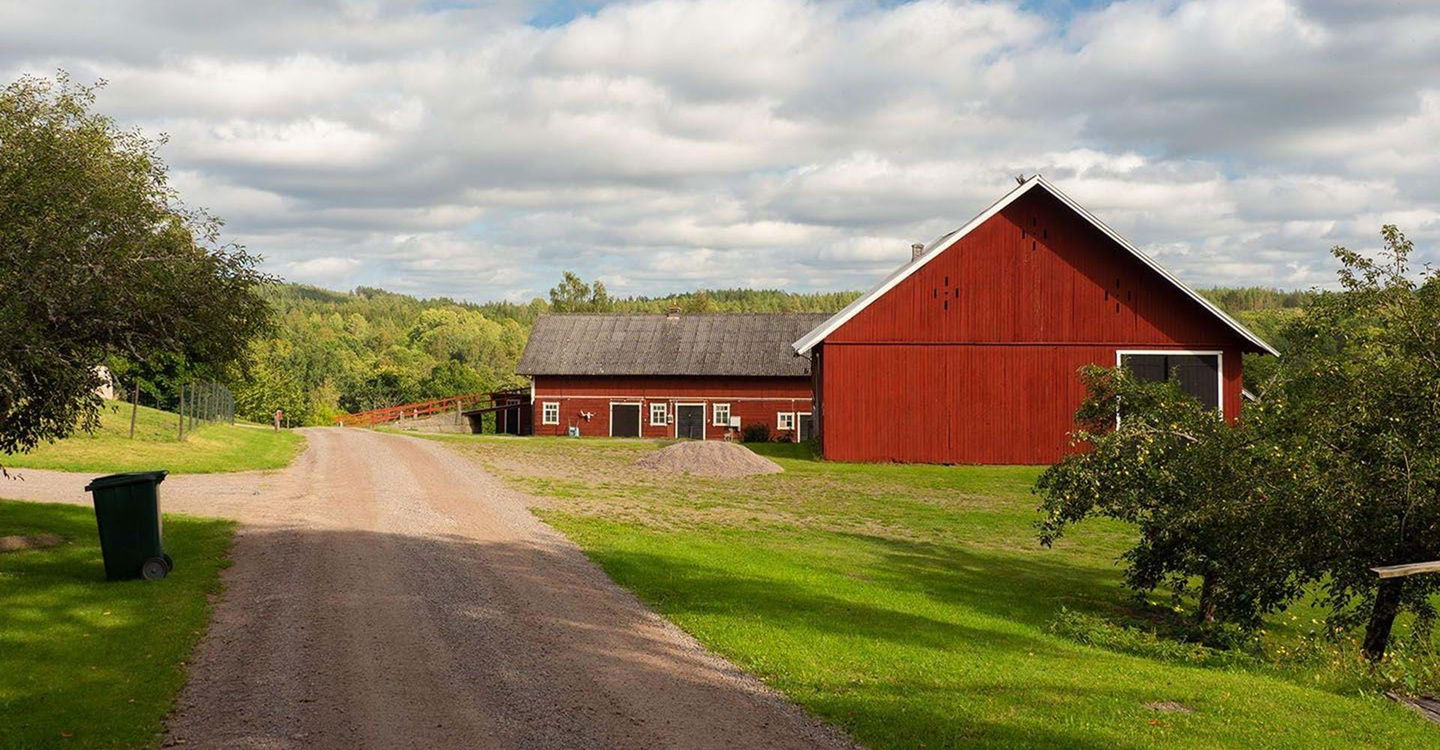
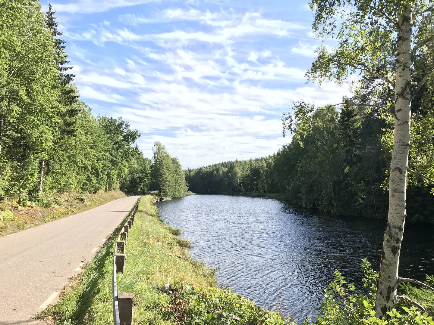
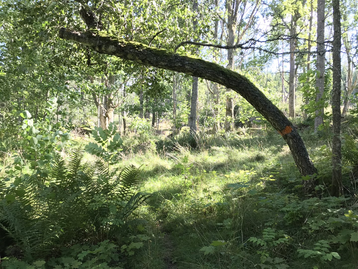
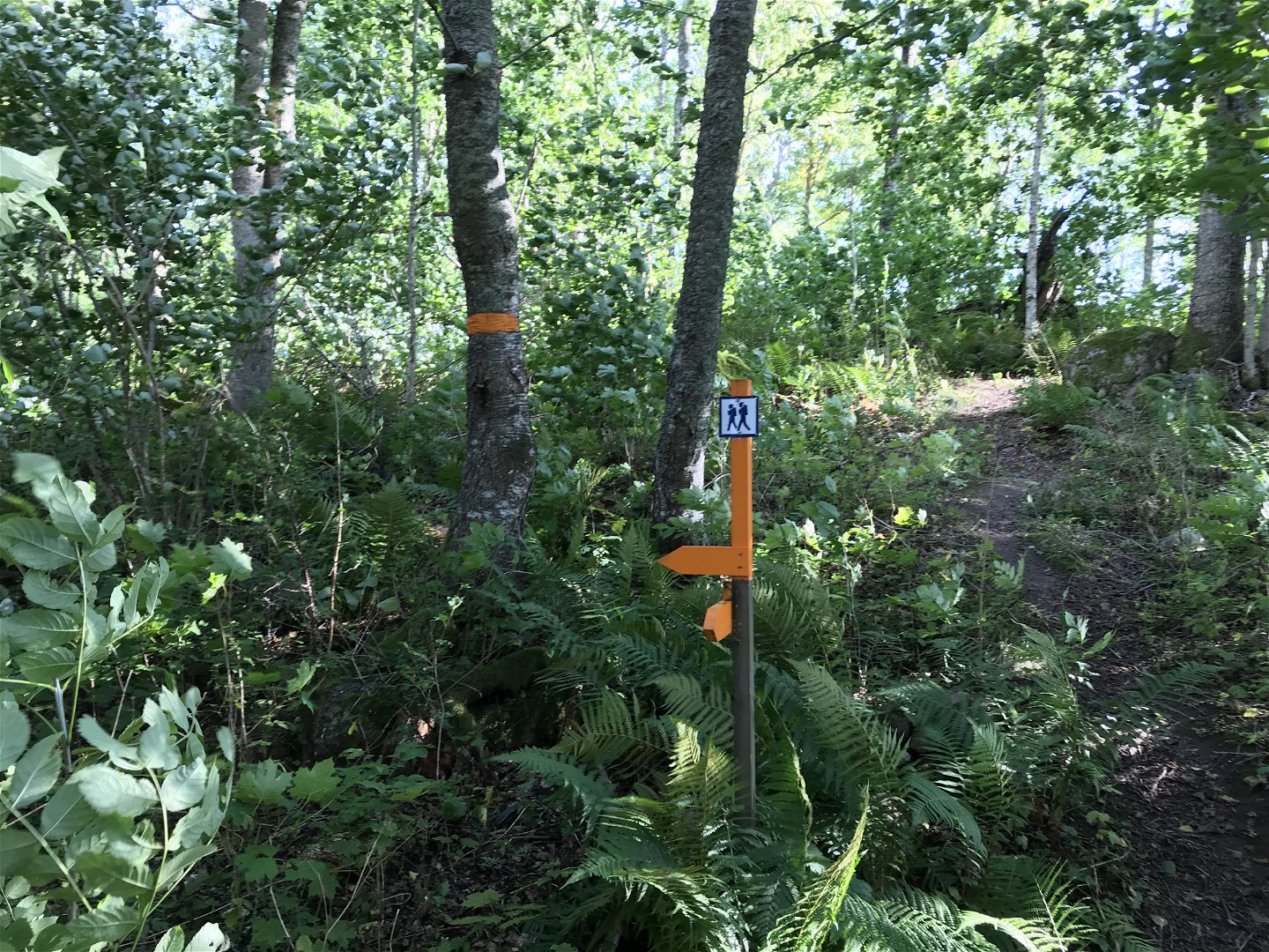
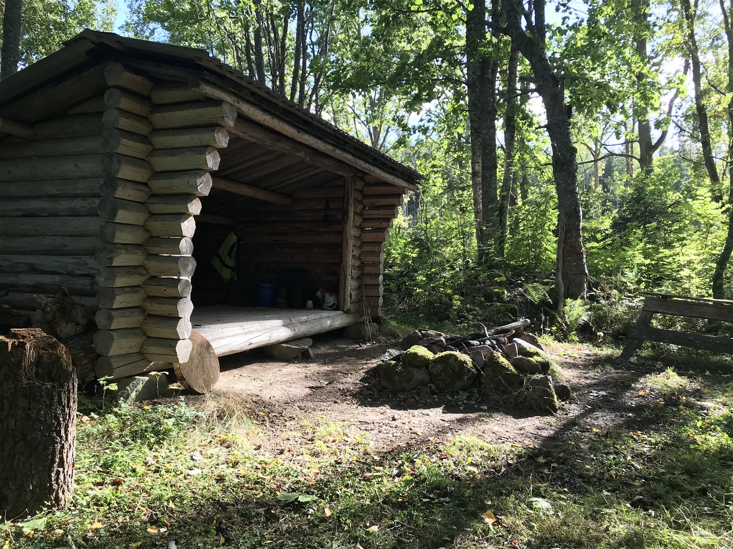
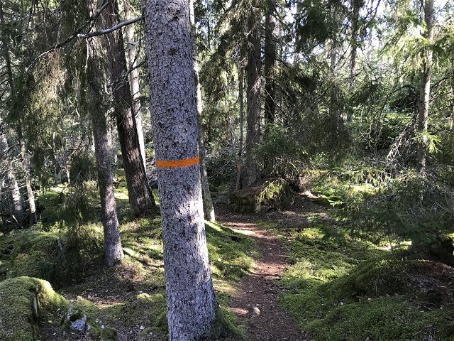
From Kisa, the trail starts with a part of the trail on the roads. However, the route ends with forest terrain. As a whole, the route may be considered easy to hike. The trail passes the village Axhult where there is a small beach with a jetty by Axsjön. After 17 km, the trail passes Lake Täftern where there is a wind shelter.
Działania i udogodnienia
-
Wędrówki piesze
Kontakt
Adres
Välkommen till Östgötaleden, 150 mils vandring i Östergötland!
Adres e-mail
Kontakt Östgötaleden
Logotyp organizacji
![]()
Należy pamiętać, że niektóre z tych tekstów zostały przetłumaczone automatycznie.
Pytania i Odpowiedzi
Zadaj pytanie innym użytkownikom Naturkartan.
Recenzja
Może zainteresują Cię również
